Why has CCC not taken over ownership of the roads – Firefly Place, Walrus Road, Wasp Road & Tiger Moth Road – located within the CIAL precinct? If the roads are indeed privately owned (by CIAL, not CCC), how then could the Waimāero/Fendalton-Waimairi-Harewood Community Board make a binding decision on 18 November 2019 to approve the issuance of these names?
Yours faithfully,
Cody C
I couldn’t find any street with the name Firefly Place in Christchurch but looking at Google maps there is potential for the developed of a street to run off Orchard Rd and meet up with Tiger Moth Road.
Peter Leeming Road in Harewood / Christchurch Airport – Named after Peter William Leeming (1939- 2012). Leeming was the chairman of the Christchurch International Airport board of directors in 2000. Formed post-1997.
A small amount of information from the library website. I couldn’t find anything on Papers Past even with it now going up to December 2001. I attempted to search old council minutes with no luck. I did find a couple of maps that show this street as being part of the airport and on airport land.
At the Memorial Rd end of the street there is a KFC and a McDonalds and on the same side there is a big empty grassy section. On the other side where the footpath is there is a fitness gym. Outside the fitness gym I saw several people vaping and that is so healthy for you. NOT. Then there is a huge accommodation place called LyLo and I googled this as I was sure that it used to have a different. I was correct and it was previously called Jucy Snooze. I remember dropping off a German hitchhiker here a few years ago. I had picked him up in Leeston. Then there is the back of the Antarctic Centre where the Hagglund ride track is. A big carpark and a rental car place plus VINZ building. Reminds me that I need to log the geocache that I found in this area.
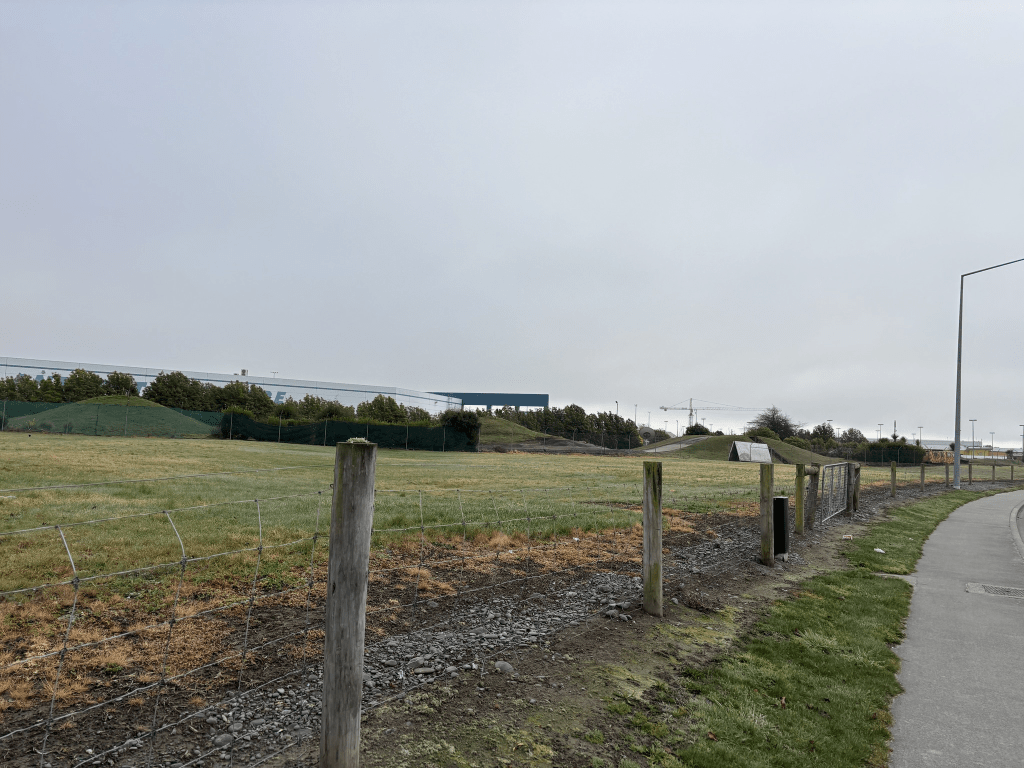
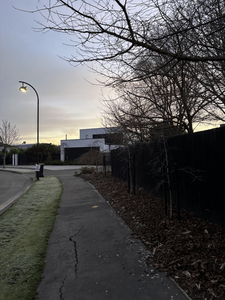
Tiger Moth Road in Harewood and nothing the either the new or old library websites. I did find this complaint to the council but couldn’t find the relevant council minutes. “
Dear Christchurch City Council,
Why has CCC not taken over ownership of the roads – Firefly Place, Walrus Road, Wasp Road & Tiger Moth Road – located within the CIAL precinct? If the roads are indeed privately owned (by CIAL, not CCC), how then could the Waimāero/Fendalton-Waimairi-Harewood Community Board make a binding decision on 18 November 2019 to approve the issuance of these names?
Yours faithfully,
Cody C”
The Tiger Moth name is fairly obvious and this street just looks like an entrance to the Bunnings Car Park. On the other side there is a fast food type of restaurant and a cafe.
Walrus Road in Harewood and nothing on the old or new library websites. I did find this complaint “Dear Christchurch City Council,
Why has CCC not taken over ownership of the roads – Firefly Place, Walrus Road, Wasp Road & Tiger Moth Road – located within the CIAL precinct? If the roads are indeed privately owned (by CIAL, not CCC), how then could the Waimāero/Fendalton-Waimairi-Harewood Community Board make a binding decision on 18 November 2019 to approve the issuance of these names?
Yours faithfully,
Cody C”
I searched and searched but couldn’t find the relevant minutes relating to this. This might explain why the library doesn’t have information for these streets. The street is likely to be named after Supermarine Walrus a single engine amphibious biplane.
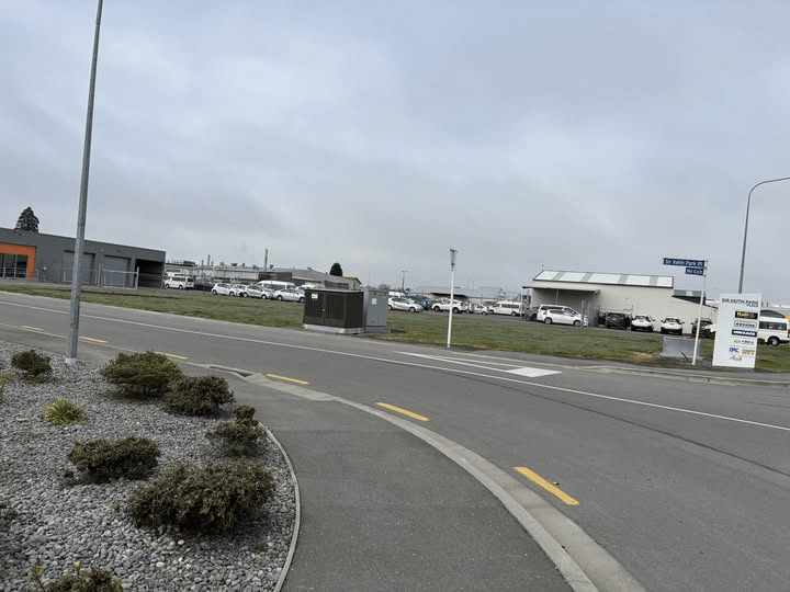
I was surprised that I hadn’t already walked this street as I had walked Wasp Road in January 2023. My notes for that street say that it was in the middle of a big empty section and I have a vague recollection that Walrus Road was blocked off and possibly a building site. There is still an empty section on one side plus a BP petrol station but on the other side there is a huge Bunnings Shop and car park. I was amused that my apple maps said that there is an ANZ here. No there isn’t an ANZ here.
Sir Keith Park Place in Harewood- Named after Air Chief Marshal Sir Keith Park. In stage 2 of Mustang Park subdivision, developed in 2017. Off Orchard Road. Source : Fendalton‐Waimairi‐Harewood Community Board 12 June 2017.
A small amount of information from the new library website but nothing on the old website. I am going to have a look at other streets that I have walked where there wasn’t any information on either the old or new websites to see if they have finally updated the new website properly.
There is a Wikipedia page for Sir Keith Park and I found it interesting that he went to sea before eventually joining the airforce.
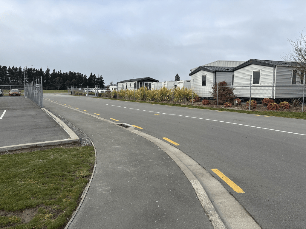
This street had a footpath on only one side of the street and there were a couple of entrances to car hire places here. It was cold walking here this morning but there wasn’t any fog like there was in the city.
Pathfinder Place in Harewood – Named after the Pathfinders which were target marking squadrons during WWII. Continuing the Aircraft/airport theme. Developed in 2017, in stage 2 of the Mustang Park subdivision. Located off Orchard Rd. Source Fendalton‐Waimairi‐Harewood Community Board agenda 12 June 2017
A small amount of information from the new library website and there wasn’t anything on the old library website. I was a bit surprised that there was information on the new website as usually if there isn’t any information on the old website there also isn’t anything on the new website. Nothing that I can add about the name of the street.
I walked this fairly early this morning and there wasn’t any fog at the airport. The street just has a couple of exits for car hire and caravan hire businesses but it did have a footpath for me to walk on.
Lewisham Park in St Albans – Named after the London Borough of Lewisham in south east London. The developer wanted names reflecting an English country estate. First appears in street directories in 1996. [Lewisham Park is the name given to both the subdivision, and the largest street in the subdivision. Lewisham Place was originally proposed, but it was felt that was too similar to Louisson Place.] Information supplied in 2009 by Bob Pritchard, subdivisions officer, Christchurch City Council.
A small amount of information from the library website and personally my feeling is that if you want a name to reflect an English country estate you wouldn’t use Lewisham as a name. Note I do have ancestors from the Lewisham area and it was in Kent those days rather than greater London.
Nothing on Papers Past and when googling it is only real estate ads. I can’t afford the houses here and they are large houses on big sections. The houses and street was actually quite nice. I walked this street very early this morning and it was cold and frosty. There is a reserve which possibly leads to Rutland Reserve but I didn’t walk it today.
Carnaby Close in St Albans – Named after Carnaby, a small village and civil parish in the East Riding of Yorkshire, England. The developer wanted names reflecting an English country estate. Formed post-1997. Information supplied in 2009 by Bob Pritchard, subdivisions officer, Christchurch City Council.
A small amount of information from the library website and I was a bit surprised about the reason for the name. Because the street runs off Lewisham Park I assumed that it would have been named after Carnaby Street in London. When I looked at information and the maps about Carnaby in Yorkshire I realised that I would have driven past this village when I was going to Bridlington.
Nothing on Papers Past about the street or subdivision and I noticed that Papers Past now go up to 2001. This must be very recent as I am sure when I looked at it last week it still only went up to 1989.
When googling the street I only got real estate ads and the houses here were built around 2000. There was a footpath on only one side of the street and the houses were rather ugly. One house looked like it had it’s own tennis court. The houses were large and most had about 4 or 5 cars parked in the driveways. The houses were well beyond my budget as most seemed to be worth about 2 million dollars. I walked this street early this morning and it was a cold and frosty morning. I had to leave my house before 7am this morning before they were possibly going to close my street. This meant that I would arrive at my son’s house far too early so I went walking.
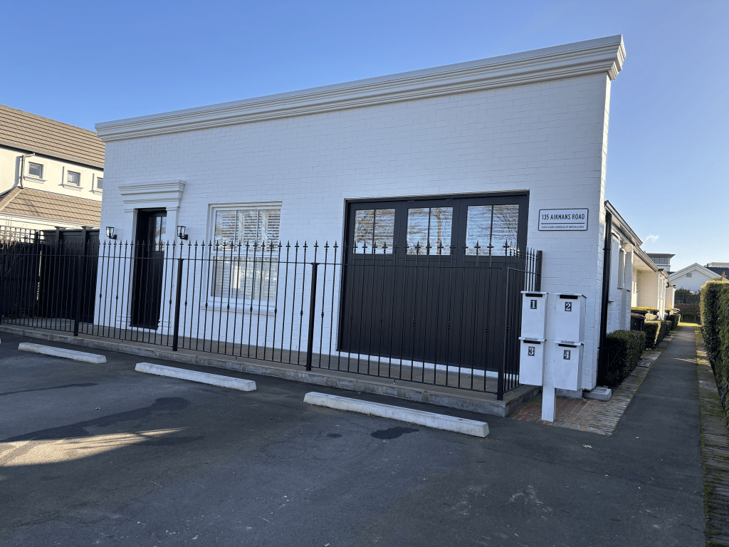
Aikmans Road in Merivale – Named after Colin Campbell Aikman (1820-1906). Originally an accommodation road ie. a route for stock. Aikman was a partner in the firm of Aikman and Wilson, auctioneers and land agents. Aikman’s Road is first mentioned in the Star in 1874 in a report of a meeting of the Avon Road Board. First appears in street directories in 1887. Aikman is a resident.
A small amount of information from the library website.
Colin Aikman had freehold land in this area and he also leased a property in Cashel Street where he had a business called Aikman’s Auction Rooms. This was from the 1873 records on the ancestry website. He was 86 when he died. He was born in Edinburgh and he was married in Christchurch in 1864. He managed to go bankrupt twice and so many streets in Christchurch are named after men who went bankrupt.
The earliest entry that I found on Papers Past was in 1870 where two children were caught stealing fruit from a garden on this street. The children were 8 and 10 and they were put in jail. They were released after they received a whipping. In 1972 the road was shingled. In the 1870s and 1880s there were frequent complaints about the drains. There were sections for sale between 1876 and 1878 and then again in 1889 and 1891. In 1886 a site was chosen for the St Albans Side School. From 1915 onwards the school on this street was referred to as Elmwood School. In 1899 a Mr Ward Robinson was mentioned as having a nursery on this street. I will have to check the ex-husband’s family tree as I think that there is a connection to his family. The sewers were laid in the street and sewerage works were mentioned again in 1956. In 1919 a John Connal a former merchant died and I wonder if he is the person that Connal Street is named after. Polio was mentioned in 1925 and there were at least two children on the street with this illness. In 1927 the council refused permission for someone to open a shop in front of their house yet in 1932 a one room shop was destroyed by fire. From 1938 and through the 1940s birth notices frequently mentioned Nurse Haywards’s and Merivale. I found an obituary dated June 1945 for Miss Eva Grace Hayward. She was born in Napier but grew up in Akaroa. She was a teacher but then trained in nursing and midwifery. She worked in a hospital in London in 1936 and when returning home she established a nursing home known as Merivale. She ran it successfully for seven years until shortly before her death. She had continued running the during her three year illness.
Both 1949 and 1952 mentions plans to widen the street. A new building at Elmwood School was first mentioned in 1954 and it was finished being built in 1956. More sections for sale in 1968. From 1978 onwards there were lots of complaints from the residents about car parking issues because of the Mall. In about 1985 the car park for the Mall was extended.
Lots of death notices and ads over the years and also what they called social notes.
The oldest house on the street dates from 1890 but it has a high hedge around it so I couldn’t see it. There are still some lovely older houses on the street but sadly many of the older ones have been demolished and replaced with really ugly houses that don’t fit in with the character of the street. Most houses on the street were built between 1960s and 1970s.
I walked this street nearly three weeks ago and I started at the Papanui Road end where there is the Mall on one side and shops on the other side. Then there is the car park for the Mall and an entrance to the McDonald’s car park on the other side. Then there was an interesting building which looked like it should be an Art Deco 1930s house. The house which seems to have a business in it actually was built in 1960 and going by street view it was an ordinary looking house. Again going by street view a facade was placed on the front of the building. As you walk along the tree lined street there are really ugly modern houses mixed in with lovely 1920s villas. Elmwood School takes up a big section of the street at the Rossall Street end of the street. Parking is terrible on this street and I had walked to the street from St George’s Hospital so I hadn’t needed to worry about parking here. The street still feels like a very narrow street but that is probably because of all the cars here.
Petrie Street in Richmond – formerly Leith Street. Named after George Petrie (1853-1912). Leith Street was dedicated in 1909 and is first mentioned in The Press in 1912 when land in North Richmond is advertised for sale by the church property trustees. First appears in street directories in 1912. Re-named Petrie Street in 1918. There is a Leith Street in Sydenham. Petrie was a landowner and well-known builder of North Avon Road. He also served on the Richmond school committee for some years.
A reasonable amount of information from the library website. Not much information on Papers Past for Leith Street apart from a few ads and ballot information. The ballots were when men were called up to go to war during World War I. That Thomas Cecil Cave popped up again as he lived on this street and I don’t believe that he is related. It is a fairly common surname overseas.
The street’s name was changed because there was also a Leith Street in Sydenham. There were at least three men with the name George Petrie. One was the headmaster at Opawa School. Another one sadly drowned in the Rakaia River and he was just a teenager from Southbridge. The George Petrie who gave his name to this street also drowned. He had been working in Amberley supervising a job out there. He had been missing a week before his body was found in a waterhole. He lived at 41 North Avon Rd with his wife Isabella and son George Junior.
In 1930 the sewers were laid and in 1935 the street was tar sealed. The surname of McFadden was mentioned as they lived on this street. The Petrie Reserve is mentioned in 1930 as relief workers were doing work here. It was mentioned again in 1933 as relief workers were allowed to grow vegetables here. In 1941 the new Bowling Green is opened and in 1958 the Women’s Bowling is opened. In 1948 the Petrie Reserve is given the official name of Petrie Park. The playground is still at the park but the bowling green didn’t survive the earthquakes.
In 1953 a TAB was opened and there were letters of complaints to the editor. There were a a couple of businesses in the street and one was a garage and the other was a panel repair and paint shop. The panel repair business was destroyed in a fire in 1985.
The houses that backed onto the school property frequently got balls accidently kicked into their backyards. Most people accepted this and just threw them back into the school grounds but one man flatly refused to do this and the headmaster had to intervene.
Lots of death notices over the years plus a few birth notices. In the earlier years there were social notes including engagement notices. Several car accidents over the years especially near the Shirley Rd intersection. The Columba Presbyterian Church was frequently mentioned but I didn’t recall seeing a church. It was on the corner by Randall Street and I looked at street view and it was demolished after the earthquakes.
I walked this street over a week ago and I parked up beside Petrie Park as my aim was to see the house that was filmed in Moving Houses. The best view of the house is from Petrie Park and there is a notice about the demolished bowling green. When I was showing my photos to my son I got caught out by one of his jokes. I said that the best view is from Petrie Park and he said dish to me. It took me a moment and I am not usually so slow.
I then walked a few streets before getting to North Avon Rd. Petrie Street at this end has an entrance for Delta Community Support Trust car park and I was forced onto the road because of the cars blocking the footpath. No I wasn’t happy. There are lots of lovely older houses on this street with many of them dating from 1910s and 1920s. There are a few more modern houses but they weren’t too ugly. By Dudley Creek there is a walkway that takes you to Stapletons Road. There is a lovely house nearby. When I checked street view there wasn’t a walkway here but two or three houses here. Because the creek ran over those houses it is probably why they didn’t survive the earthquakes. I walk past the park and by car and continue to walk to Shirley Road. Still some lovely older houses and the bright yellow one was built in 1930 as a wee cottage. It was a pleasant tree lined street.