Lindores Street in the suburb of Addington in Christchurch

Lindores Street – formerly St Leonards Street first appears in street directories in 1911. Re-named Lindores Street on 1 September 1948 when 120 street were renamed.

Not much information from the library website. The former name of St Leonards would be from Hastings area in the UK but I will have research Lindores when I get time. This is a small street with mostly older villas. A couple of the villas looked rundown but the rest were OK. Would be noisy with the motorway traffic. Checked out the name Lindores and it is a village in Fife in Scotland. Several people had houses called Linores including one on Braddon St.

Sarjeant Street in the suburb of Addington in Christchurch

Sarjeant Street – Named after Reginald Cranmer Sarjeant (1892-1958). Sarjeant was town clerk and borough engineer of the Riccarton Borough 1929-1950. He did much to improve the standard of roads in Riccarton. First appears in street directories in 1958.

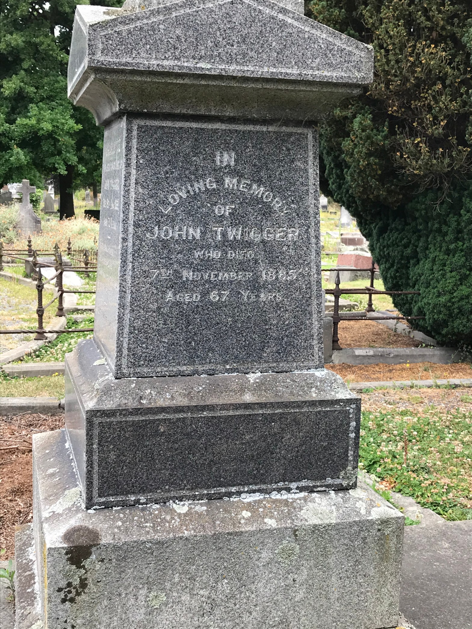
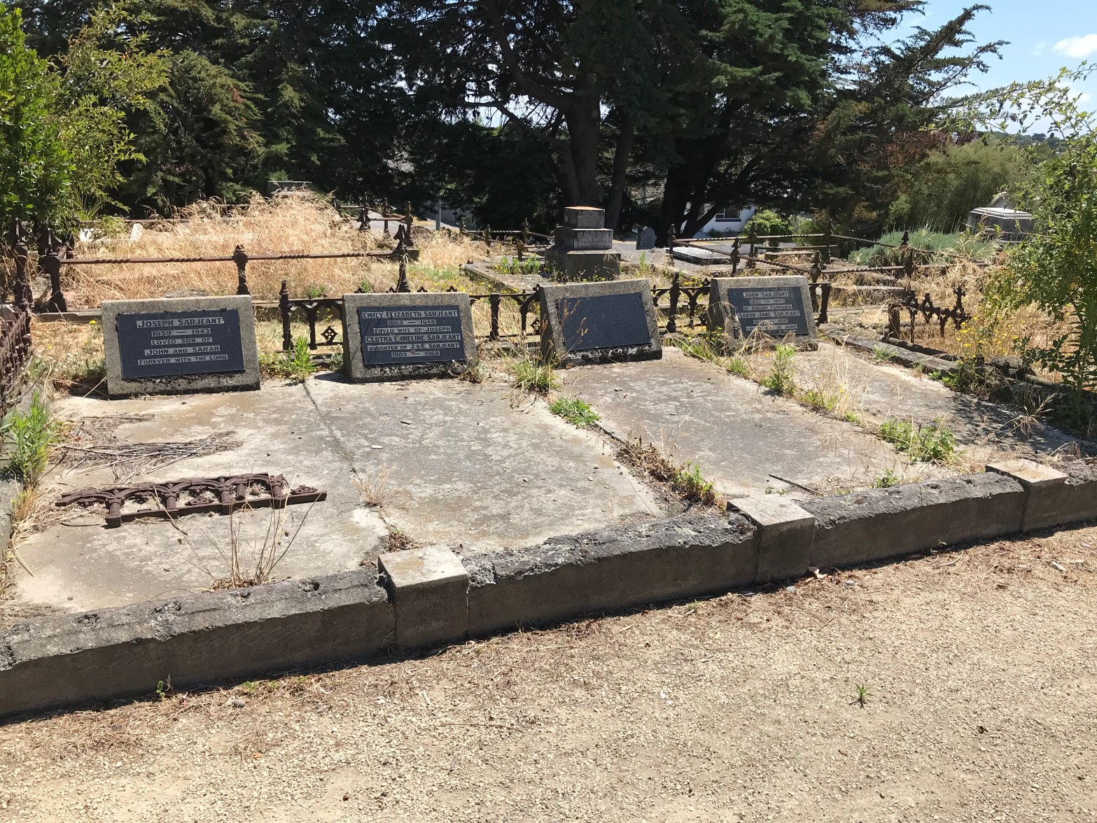
More information from the library website than I was expecting. A small street where the map shows it as going from Princess St to Blenheim Rd but the reality was that it really just led to some businesses and a gym.Difficult to walk because of no footpath that you could walk on so I only walked part of it. No photos here. Unable to find a grave for this man. I did find several graves in Linwood cemetery for Sarjeant family including Reginald’s parents and siblings.There was one headstone that was impossible to read and this is possibly his gravestone. None of these graves appeared on the on-line cemetery database. Couldn’t find any information on an Ancestry website.

Vanadium Place in the suburb of Addington in Christchurch

Vanadium Place – There was no information on library website for this street. The only meaning that I could find for Vanadium was that it is an element on the periodic table and that the element is named after the Vanadis the old Norse name for the god Freyja.
A business area running off Wrights Rd. Looked a bit rundown except for the business on the corner of Wrights Rd and Vanadium. I remember years ago that it was rumoured that there was a brothel here but I don’t know how true this was. No photos here and I didn’t like this street and I only walked halfway. The reason was that at one of the more rundown businesses there was a man out the front with a dog and I didn’t feel safe.

Antigua Street in the suburb of Addington in Christchurch

Antigua Street – Named after Antigua, a colonial bishopric, Antigua in the West Indies. The section of the street south of Moorhouse Avenue was formerly named Windmill Road. Named after the flourmill erected in 1856 by William Derisley Wood (1824-1904). It was on the site of the Canterbury Brewery which was demolished following the earthquakes of 2010/2011. One of the original streets of Christchurch named in 1850 by surveyors Captain Joseph Thomas (b. 1803?) and Edward Jollie (1825-1894). The names were taken from bishoprics listed in Burke’s Peerage. Windmill Road as an alternative name appears in an advertisement in the Star in 1868. William Feathery (1829?-1910) bought the windmill there in 1866 and moved it to Leithfield where it stood behind Leith’s hotel. Officially re-named Antigua Street in 1909. A good amount of information from the library website.

One end has the Antigua Boat sheds which is a cafe and the punts leave from here. Today is the first time in ages that I have been able to walk this street without having to dodge roadworks. Where the Brewery used to be is now a big empty section where they plan to build a sports stadium. Between Moorhouse Ave and Brougham St it is a mixture of businesses and houses. Many old houses that are looking rundown. The new cycleway attracted lots of protests. Note I originally wrote this several months ago and work has now started on the sports stadium. Opposite the sports stadium building site several buildings have been demolished and the empty sections are now Wilsons Car Parks.

Jerrold Street North/Jerrold Street South in the suburb of Addington in Christchurch

Jerrold Street North/Jerrold Street South – formerly Boundary Road, Douglas Jerrold Street and Jerrold Street West. Brights Road and Hamilton Street were incorporated into Jerrold Street. Jerrold Street was named after Douglas William Jerrold (1803- 1857). Boundary Road is an alternative name. Jerrold Street. One of the “poets and writers” streets of Sydenham, Addington and Waltham. Jerrold was an English humorist and playwright. A reasonable amount of information from the library website.

Not really an exciting street and Addington Park borders one side of it. The street has changed since the Southern motorway was built and now divides the North and South parts of the street.

Clarence Street South in the suburb of Addington in Christchurch

Clarence Street South – Pigeon’s Lane and Clarence Road. Formerly Pigeon’s Lane. Named after Alfred Pigeon (1824-1893). Re-named Clarence Road, later Street. The name is derived from the honour of Clare in Suffolk (an honour is the estate of a tenant-in-chief of the Crown), Pigeon owned a farm in 1858 which ran from Riccarton Road to Lincoln Road. He also owned a wine and spirit store in Cashel Street. Pigeon’s Lane is first mentioned in the Star in 1881. Re-named Clarence Road in 1895 at the request of “Messrs Brown, Bell, Croll, Ruddenklau and others”. Becomes Clarence Street in 1946. A reasonably amount of information from the library website.

This street has businesses one side and older houses on the other side. Many of the houses look run down. The ANZ bank is on one corner and I worked here a long time ago.I have a cache hidden on a small reserve that is on the corner of Clarence and Walsall Streets.

Meredith Street in the suburb of Addington in Christchurch

Meredith Street – Probably named after George Meredith (1828- 1909). Meredith was an English novelist and poet. Probably named to continue the theme of “poets and writers” streets of Sydenham, Addington and Waltham. A small amount of information from the library website.

This street is next to Addington Park and has the usual mixture of old and new houses.Not sure that I would like living so close to the park. Since I walked this street as part of my project one of the old houses has been demolished and a new building is going up.

Chatham Street in the suburb of Addington in Christchurch

Chatham Street – formerly Dudley Street – May have the same derivation as the Chatham Islands which were discovered by Lieutenant William R. Broughton of the Chatham in 1791. Dudley Street first appears in street directories in 1903. Re-named Chatham Street on 27 September 1948. [The newspaper report of the time says Boyd Street was suggested as an alternate name.] A wee bit of information from the library website.

Mostly older houses but there was one new looking house that was different to the normal houses but I couldn’t get a photo of it. It also had a giant creature in the top floor that looked like something Weka Studios would make. It was a cross between a giant robot/ steampunk creature.
The library website seem to be unsure about the street name so another possibility that it is named after Chatham in England.

James K Baxter Place in the suburb of Addington in Christchurch

James K Baxter Place – Named after James Keir Baxter (1926- 1972) – Baxter was a poet, postman, teacher, dramatist, writer and social critic. Named on 21 May 1973. A small amount of information on the library website.

Council housing called Norman Kirk Courts are on this street. There are are also a few old houses on this street. I wouldn’t like to live here.