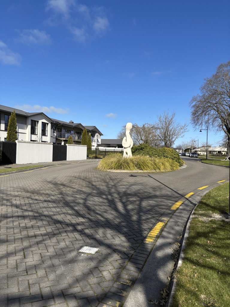
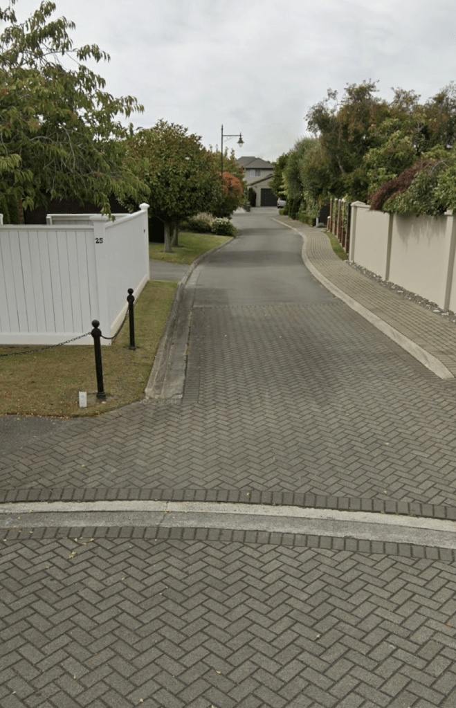
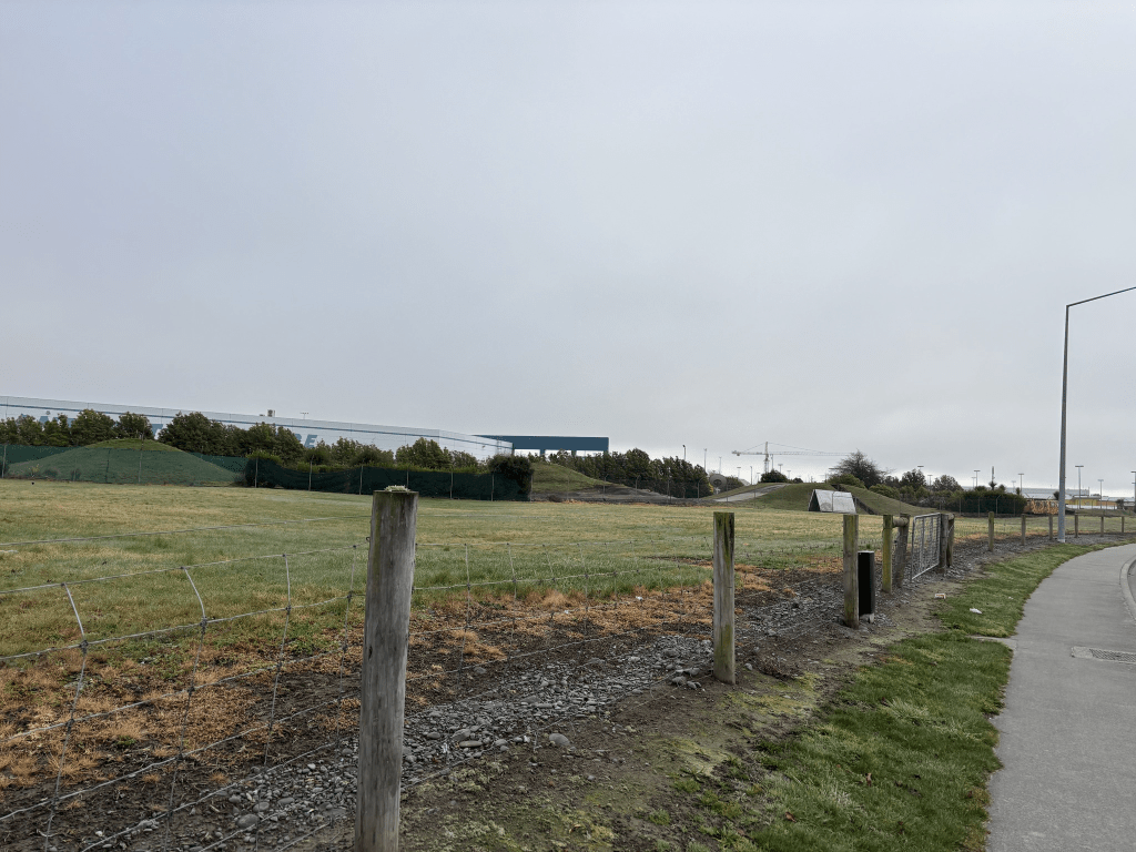
Gambia Street in the suburb of Papanui, Christchurch

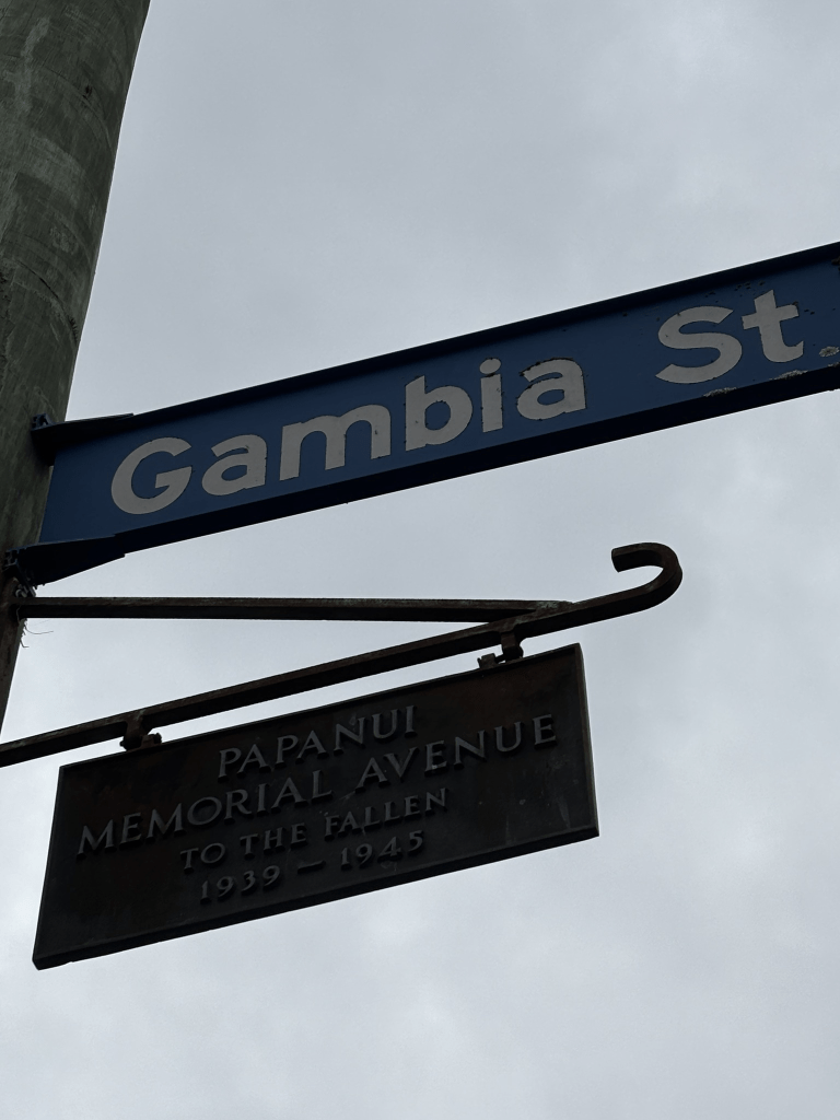
Gambia Street in Papanui – formerly part of Loftus Street. Named after the HMNZS Gambia. HMNZS Gambia, launched in 1940, was New Zealand’s largest cruiser. It saw active service with the British Pacific Fleet during World War II. A Papanui war memorial street. First appears in street directories in 1946. Source: Papanui Heritage Group

A small amount of information from the library website. Very little on Papers Past as it was mostly ads, garden competitions and birth and death notices. Nothing about it being a memorial Avenue or the name change.

I checked old maps and from 1912 to 1941 it was Loftus Street and the street was straight. The map for 1958 shows it as Gambia Street and it is no longer a straight street. There is a kink in the street at the Frank Street intersection and it no longer lines up straight with Loftus Street. I have reread my write up for Loftus Street and I didn’t mention the street change in that write up.

I walked this street on Tuesday morning before my interview at Age Concern. I have put forward my name to be a Companion Walker.

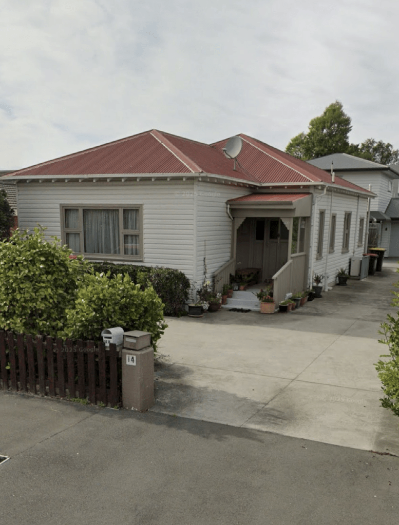
There is a house here from 1920s and a couple from the 1930s but they didn’t stand out. Most of the houses here date from 2023 onwards and we all know my opinion of ugly modern houses.

Bellvue Avenue in the suburb of Papanui, Christchurch

Bellvue Avenue in Papanui – formerly Church Street. Church Street first appears in street directories in 1887. Re-named Bellvue Street in 1926 when 21 streets were re-named.

A small amount of information from the library website. The entries that I found on Papers Past all said that the name change was to Bellvue Avenue. I did find one entry where someone suggested Bell Street. No reason given for the name and I wondered if it related to the bell tower at the nearby church.

So many Church Streets in Christchurch that it was impossible to get much information. I tried narrowing by search by including the suburb name but had no luck as there was another street with a similar name nearby.

In the 1920s there were complaints about drains. In 1929 it is proposed to have an entrance to St James Park from this street and the subway under the railway lines is mentioned. I checked old maps and it looks like the street ran from Papanui Rd to the railway lines and from about 1930 onwards it was extended to St James Ave with the pedestrian walkway under the railway lines connecting the two halves. The pedestrian walkway was replaced in 1976 and it was widened in 1933 plus roses planted. In 1931 the new Plunket rooms were opened by Sir Truby King. In 1954 the new kindergarten was almost completed. The vicarage was mentioned in the 1950s and I looked on google maps to see if I could see the vicarage but it was down a long driveway. In 1959 there was ads for the render for the building of a Post and Telegraph depot. Personally I would love to have seen the elephant race in 1966 and apparently there were three elephants being raced and the riders were possibly local councillors. There was a wee note in 1977 in something called Reporters Diary about the first Papanui Town Hall having been on the corner of Papanui Rd and Bellvue Ave ( Church Lane). Church Lane is actually further down Papanui Rd past Merivale Mall. I looked at Papers Past and googled and couldn’t find anything about this. When I get time I will have another look for information about a town hall.

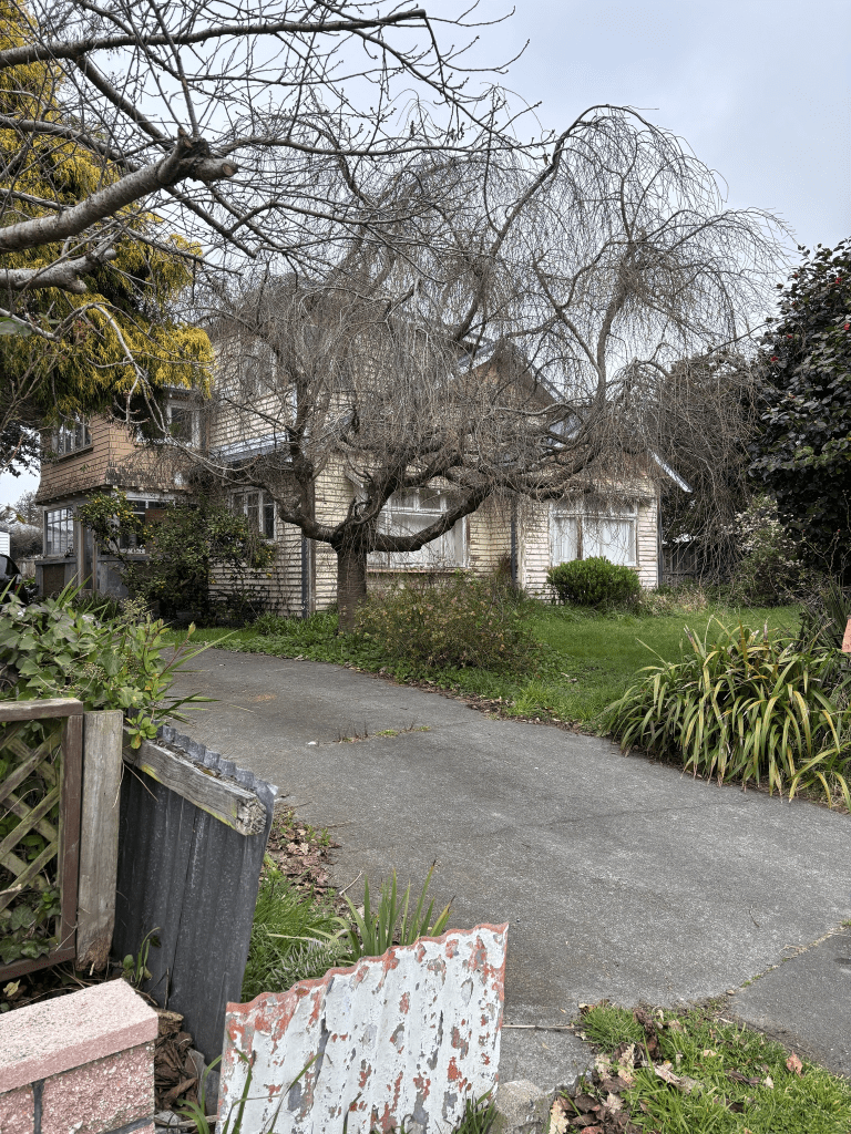
On Tuesday I had an appointment at Age Concern and I parked on this street and walked to my appointment. It is a nice quiet street between St James Ave and the railway pedestrian walkway with nice houses. Once you go through the walkway there are more houses plus there are still Plunket Rooms here. The houses were a mixture of styles and the oldest dates from 1890. At the Papanui Rd end there is still a kindergarten plus an entrance to the RSA. There are also shops at the Papanui Rd end. It was a pleasant street. Outside one house there were chalk drawings on the footpath and a notice on a fence saying that there was chalk in the letterbox for doing chalk drawings.

South Island Methodist Orphanage and Children’s Home

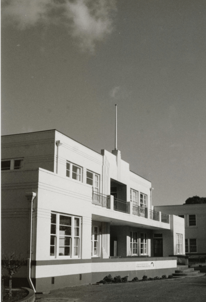
The South Island Methodist Orphanage and Children’s Home was opened in April 1914 on Chapel Street with 6 children residing there. It was built to hold 30 children but was expanded to be able to take 60 children. I did find an article which said that was set up in an existing house on the property. Most articles were about donations to the home and I hope that they liked eggs and jam. In 1934 the new Art Deco looking building was opened at 91 Harewood Rd. It sat on a site of 12 acres. At the jubilee in 1964 a tree was planted and Mrs J Hodgson who was one of the first girls in the home cut the jubilee cake.

The home went under several names in the media and was known as Papanui Children’s Home and Papanui Orphanage. In 1968 it was purposed to built flats for the elderly at the site being used by the Wesley Geriatric Home. From this article I got the impression that there was still a children’s home at the property and that the rooms were reconfigured into family units. The children’s home was closed in 1987 and in 1991 The Sandcastle Children’s and Family Unit was opened. Sadly this didn’t long as it was destroyed in an arson attack in 1992. This information was on a website about Methodist Homes and I couldn’t find any news articles about it. In 1996 the buildings were demolished and the Wesley Retirement Village to be built. In 2015 the Wesley Home was demolished and a new one built.

I managed to find one photo of one of the buildings that I was allowed to download. I found a second photo but it wasn’t in a format that I could download. The second photo was amazing as there were three huge Art Deco looking building on a massive section of land. A lovely set of what looked like ironwork gates.

Marble Wood Drive in the suburb of Papanui, Christchurch

Marble Wood Drive in Papanui – Developed in 1997 on the former site of the South Island Methodist Orphanage and Children’s Home which had opened in 1914. Suburban Estates developed the subdivision in a joint venture with the Methodist Mission.

A small amount of information from the library website. Nothing in Papers Past even with the newspapers now going up to 2001.

The houses here were built in the 1990s and 2000s and I was surprised that the valuation website said that there were only 29 houses here. I doublechecked with google maps and the houses are at one of the street while there is a reserve and a retirement home at the Harewood Rd end of the street. The houses here are huge with some nice looking gardens. The Orphanage covered about 12 acres and the subdivision was created on this land.

I entered this street from a walkway leading from Harris Crescent. I had been geocaching in the area. I couldn’t believe the size of the houses here. The footpath is on both sides of the street and there is two places where there is a tree in the middle of the road. One is at the end of the street where the walkway entrance is and the other is next to the entrance to Mission Lane. That one creates a roundabout effect and after doing some research on the orphanage I actually wonder if this tree is the Jubilee tree planted in 1964. This end of the street has March Wood Reserve on one side and the Wesley Care Retirement Home on the other side. Looking at google maps you can see that the retirement home covers a huge amount of land.

Mission Lane in the suburb of Papanui, Christchurch

Mission Lane in Papanui – Named by the developers, Suburban Estates and the Methodist Mission. The name acknowledges the Christchurch Methodist Central Mission’s administration of the former South Island Methodist Orphanage and Children’s Home which had opened in 1914 on this site. Named in 1997.

A small amount of information from the library website. Nothing on Papers Past even though it now goes up 2001.

A tiny private lane with large houses that were built in 1990s and 2000s. There was a footpath but I only walked a few metres along it as I sometimes feel uncomfortable walking such lanes as they feel like driveways.

Firefly Place

The complaint to the council that I found.

Dear Christchurch City Council,

Why has CCC not taken over ownership of the roads – Firefly Place, Walrus Road, Wasp Road & Tiger Moth Road – located within the CIAL precinct? If the roads are indeed privately owned (by CIAL, not CCC), how then could the Waimāero/Fendalton-Waimairi-Harewood Community Board make a binding decision on 18 November 2019 to approve the issuance of these names?

Yours faithfully,

Cody C

I couldn’t find any street with the name Firefly Place in Christchurch but looking at Google maps there is potential for the developed of a street to run off Orchard Rd and meet up with Tiger Moth Road.

Peter Leeming Road in the suburbs of Harewood and Christchurch Airport, Christchurch

Peter Leeming Road in Harewood / Christchurch Airport – Named after Peter William Leeming (1939- 2012). Leeming was the chairman of the Christchurch International Airport board of directors in 2000. Formed post-1997.

A small amount of information from the library website. I couldn’t find anything on Papers Past even with it now going up to December 2001. I attempted to search old council minutes with no luck. I did find a couple of maps that show this street as being part of the airport and on airport land.

At the Memorial Rd end of the street there is a KFC and a McDonalds and on the same side there is a big empty grassy section. On the other side where the footpath is there is a fitness gym. Outside the fitness gym I saw several people vaping and that is so healthy for you. NOT. Then there is a huge accommodation place called LyLo and I googled this as I was sure that it used to have a different. I was correct and it was previously called Jucy Snooze. I remember dropping off a German hitchhiker here a few years ago. I had picked him up in Leeston. Then there is the back of the Antarctic Centre where the Hagglund ride track is. A big carpark and a rental car place plus VINZ building. Reminds me that I need to log the geocache that I found in this area.

Tiger Moth Road in the suburbs of Harewood and Christchurch Airport, Christchurch

Tiger Moth Road in Harewood and nothing the either the new or old library websites. I did find this complaint to the council but couldn’t find the relevant council minutes. “

Dear Christchurch City Council,

Why has CCC not taken over ownership of the roads – Firefly Place, Walrus Road, Wasp Road & Tiger Moth Road – located within the CIAL precinct? If the roads are indeed privately owned (by CIAL, not CCC), how then could the Waimāero/Fendalton-Waimairi-Harewood Community Board make a binding decision on 18 November 2019 to approve the issuance of these names?

Yours faithfully,

Cody C”

The Tiger Moth name is fairly obvious and this street just looks like an entrance to the Bunnings Car Park. On the other side there is a fast food type of restaurant and a cafe.

Walrus Road in the suburbs of Harewood and Christchurch Airport, Christchurch

Walrus Road in Harewood and nothing on the old or new library websites. I did find this complaint “Dear Christchurch City Council,

Why has CCC not taken over ownership of the roads – Firefly Place, Walrus Road, Wasp Road & Tiger Moth Road – located within the CIAL precinct? If the roads are indeed privately owned (by CIAL, not CCC), how then could the Waimāero/Fendalton-Waimairi-Harewood Community Board make a binding decision on 18 November 2019 to approve the issuance of these names?

Yours faithfully,

Cody C”

I searched and searched but couldn’t find the relevant minutes relating to this. This might explain why the library doesn’t have information for these streets. The street is likely to be named after Supermarine Walrus a single engine amphibious biplane.

I was surprised that I hadn’t already walked this street as I had walked Wasp Road in January 2023. My notes for that street say that it was in the middle of a big empty section and I have a vague recollection that Walrus Road was blocked off and possibly a building site. There is still an empty section on one side plus a BP petrol station but on the other side there is a huge Bunnings Shop and car park. I was amused that my apple maps said that there is an ANZ here. No there isn’t an ANZ here.

Sir Keith Park Place in the suburb of Harewood, Christchurch

Sir Keith Park Place in Harewood- Named after Air Chief Marshal Sir Keith Park. In stage 2 of Mustang Park subdivision, developed in 2017. Off Orchard Road. Source : Fendalton‐Waimairi‐Harewood Community Board 12 June 2017.

A small amount of information from the new library website but nothing on the old website. I am going to have a look at other streets that I have walked where there wasn’t any information on either the old or new websites to see if they have finally updated the new website properly.

There is a Wikipedia page for Sir Keith Park and I found it interesting that he went to sea before eventually joining the airforce.

This street had a footpath on only one side of the street and there were a couple of entrances to car hire places here. It was cold walking here this morning but there wasn’t any fog like there was in the city.