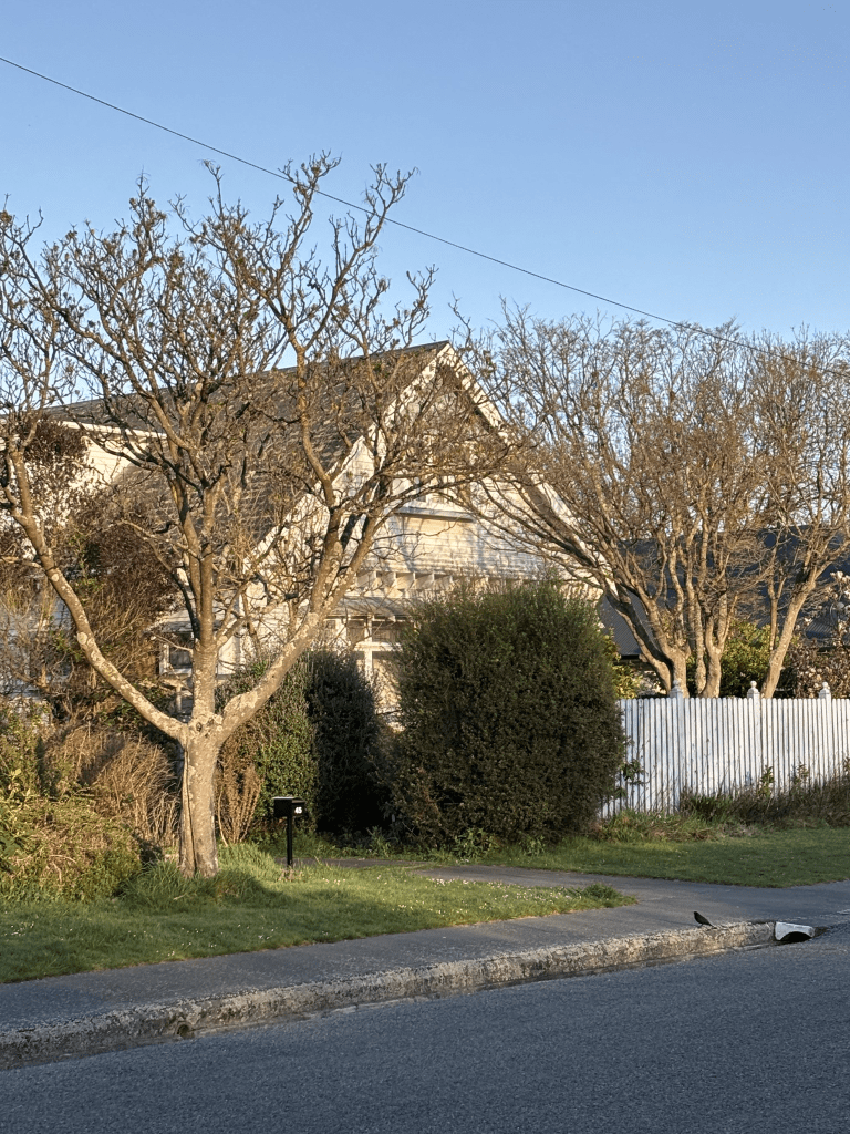
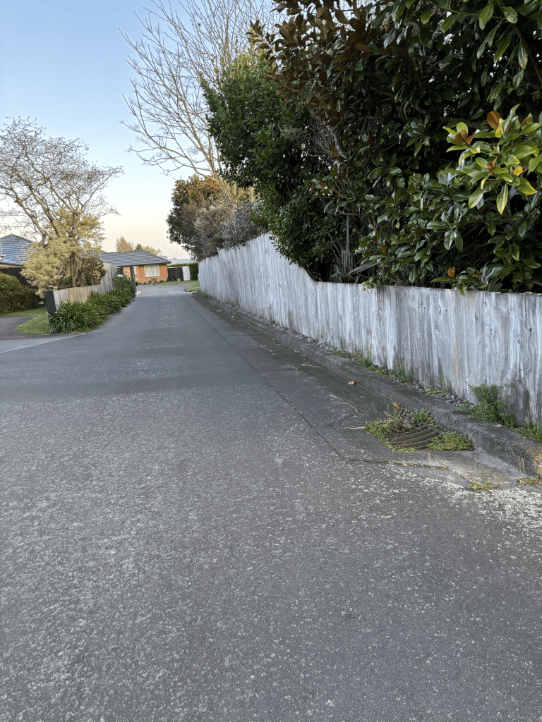
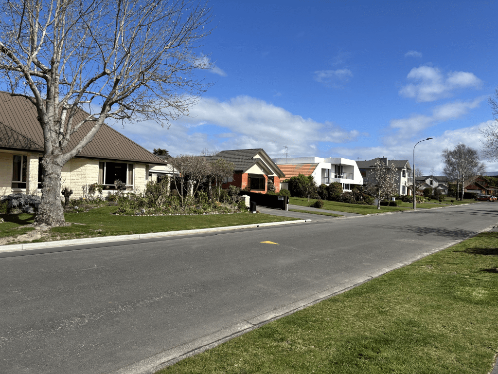
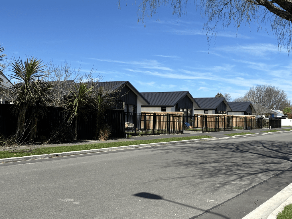
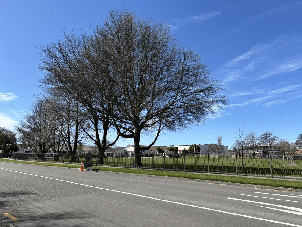
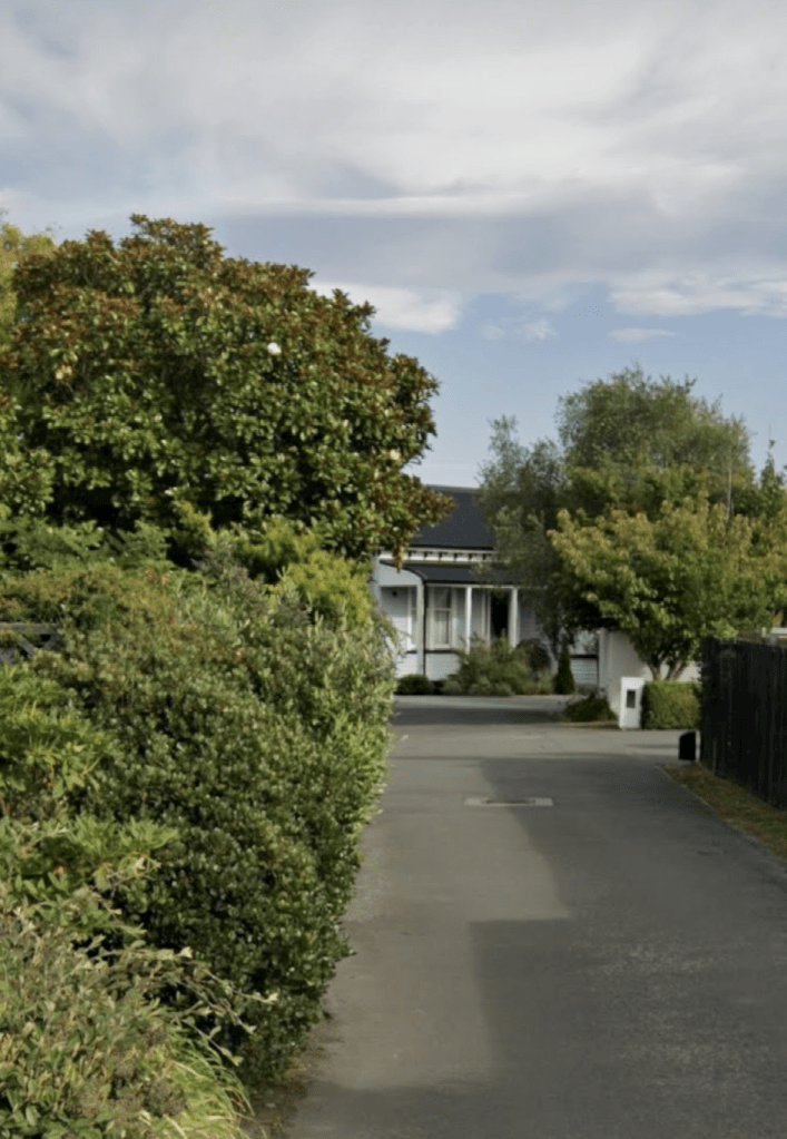
O’Connor Place in the suburb of Burnside, Christchurch

O’Connor Place in Burnside – Named after Reginald Vincent O’Connor (1927-) O’Connor, of O’Connor Enterprises Ltd., bought 2.46 hectares of land from Lion Breweries, owner of neighbouring Russley Hotel. He divided the land into 29 residential sections and formed the street. First appears in street directories in 1995. Information supplied in 2008 by Reg O’Connor in an interview with Colin Amodeo who passed the information on to Margaret Harper.

A reasonable amount of information from the library website and Reg O’Connor died in 2015 aged 88.

There were a few ads on Papers Past in 1986 and 1988 for houses available in the exclusive subdivision. The houses in the street were built in the 1980s and 1990s.

I walked this street a week ago and there is a footpath on only one side of the street. The houses were a variety of styles and it looked like a pleasant street.

Wiremu Street in the suburb of Redwood, Christchurch

Wiremu Street in Redwood and nothing on the library website. This is a bit surprising as the street was developed in the 1970s. The name is possibly Maori for William meaning resolute protector. Not much information on Papers Past and it was just ads for sections in the Woodlands Subdivision.

Most of the houses here were built in the 1980s and 1990s. None of the houses stood out for me and at the end of the street there is a big fence blocking off a commercial building. The footpath is being repaired and the footpath on one side of the street was blocked off.

Ramore Place in the suburb of Redwood, Christchurch

Ramore Place in Redwood – First appears in street directories in 1972.

Tiny amount of information from the library website. There wasn’t anyone with a surname Ramore in Canterbury. The best meaning that I could find for the word was big fort and it was possibly Irish. Not much information on Papers Past. In 1969 and 1984 there were ads for sections and new houses. A couple of death notices. In 1971 there were two articles about the Ramore Reserve to remain as a playground / reserve and the application from Papanui Pool to turn the reserve into car parking for the pool was declined. My Christchurch map must be old as it shows the Papanui Pool on Winters Rd. It took a bit of googling and I eventually found out that the Papanui Pool closed in 1993.

Most of the houses on this street date from between 1970s and 1980s. There were a few that were built in 2024 so I looked at street view. I was going to say that a gorgeous old villa was demolished just so that these ugly modern units could be built. I then had a brain wave and checked street view. This gorgeous house was moved to Autumn Place.

The reserve and playground is still here and it looked like a pleasant tree lined street. Apart from the ugly modern units none of the other houses stood out.

Fraser Street in the suburb of Papanui, Christchurch

Fraser Street in Papanui – Named after Frederick James Edgar Fraser (1907?-1964). Fraser was headmaster of Papanui Primary School 1951-1963. Named in September 1968. First appears in street directories in 1981. Information on date of naming in a letter sent to the City Librarian from the Town Clerk dated 18 September 1968.

A small amount of information from the library website. I only found a couple of ads on Papers Past for Fraser St in Papanui but it was a very common street name in New Zealand. Because there was a street named after him I expected to see information on Papers Past for Frederick Fraser but nothing. He was born in Gore in 1907 and possibly died in Gore. He was only 57 when he died. He is mentioned on the online cenotaph and he served in the Middle East and North Africa during WWII.

I searched old maps and this street was probably formed on the site of a disused garage that was on Tuttons Rd which is now the top end of Cranford Street.

The houses are on only one side of the street and the valuation website gives the date of 1980s for the houses here but they were probably built in the 1970s as the ads for the sale of houses here were in 1978. Papanui Primary School is on the other side of the street and I did sneak into the grounds of the school because of the street art style of artwork here.

Autumn Place in the suburb of Mairehau, Christchurch

Autumn Place in Mairehau – Named because it runs off Winters Road. This is an unfortunate naming because Winters Road is not named after the season. Named in 1987.

A small amount of information from the library website. Only a couple of ads on Papers Past.

I walked this street today as I was geocaching in the area. The footpath was on only one side of the street so I wasn’t surprised that the houses here were built in the 1990s. The valuation website that I use gave one house a build date of 2021 but it felt wrong. I took a screenshot from street view and my gut feeling was that this house was older than this. I eventually found information that gives the age of the house and it was probably built in 1910. It was relocated here in 2021. This was a pleasant looking street and the houses were a variety of styles.

Johnstoneville Subdivision in Sumner

Johnstoneville subdivision in Sumner. Several streets in Sumner are described as being in Johnstoneville subdivision going by the information on the library website. I couldn’t find any mention of the subdivision in Papers Past. I also checked Ancestry website with no luck. Today when I was looking for something totally different the name H B Johnstone popped up in connection with the road board in Sumner. I then looked at Papers Past and H B Johnstone was a solicitor in Christchurch and he lived on Fendall Town Rd. He was on the committee for the planned formation of a railway from Ferrymead to Sumner plus on the committee for the All Saints Church in Sumner. His full name was Harry Bell Johnstone and I had looked at him on Ancestry but dismissed him because he hadn’t lived in Sumner and and had died in Tauranga. Many of the family trees on Ancestry didn’t have him living in Christchurch at all. In 1870 he sold his house on Fendall Town Rd and moved out Oxford way. He was heavily involved in the Acclimatisation Society and he enjoyed fishing for salmon. I found his obituary in April 1894 and it mentioned that he had moved to Tauranga for his health. He owned several lots of land including 150 acres in Sumner. He had land out near Oxford and possibly land in Waimate. He still owned a large section of land in Fendalton and there were at least two articles about him refusing to sell this land when he was alive. All of this land was for sale after he died including the land in Sumner

Clark Street in the suburb of Sumner, Christchurch

Clark Street in Sumner – A street in the Johnstoneville subdivision. First appears in street directories in 1914

A small amount of information from the library website. I suspect that this street is named after a person but couldn’t find out who it was named after. There is nothing on Papers Past about the Johnstoneville subdivision. I checked Ancestry and cemetery data base for the surname Johnstone. I found loads of people with that surname but none had a connection to Sumner.

Edited to say that the street is probably named after Charles Clark a business associate of Harry Bell Johnstone. Harry Bell Johnstone owned 150 acres in Sumner but never lived in Sumner.

The earliest entry on Papers Past was about a foot bridge to be built in the street in 1905 and then there a house available for letting in 1909. Note Sumner was very much a holiday destination for people living in Christchurch especially from the wealthier suburbs.

In 1913 it was described as a new street running through the estate and the water and gas mains were already laid. The street was extended in 1913 with sections available. More sections were available in 1915 at £80 each. In the enlistment notices there was a Blythe Fletcher an artist who had enlisted. There isn’t a Wikipedia page for him but an art gallery has information about him. He was born in 1890 in Yorkshire and died in 1949 aged 59.

The footpaths were mentioned a few times and it was mostly complains. Sounds like they got muddy after it rained. The street received electric lights in 1923. several mentions of the street being flooded over the years. So many streets throughout New Zealand had the same name. The usual death notices. In 1989 there were lots of complaints about the noise from a skateboard ramp. The owner of the ramp said that it was a living sculpture. He had built it on his own property for the local children to play on. I don’t recall seeing a skateboard ramp on the street so it must have gone.

I walked this street yesterday after checking one of my geocaches in the area.

It is a pleasant tree lined street and the houses date from 1910 to 2019. They are a variety of styles and nothing too ugly. One of the houses from 1910 is a small cottage. There was another one that looked lovely but between high fences and trees I couldn’t get a photo of it. I wonder if they still get flooding as there is a drain / creek nearby.

Orchard Road in the suburbs of Harewood/ Christchurch Airport, Christchurch

Orchard Road in Harewood / Christchurch Airport – formerly Orchard’s Road. Named after Charles Samuel Orchard (1827- 1890). Orchard, a sawyer, emigrated to Canterbury with his wife, Jane, and their son, on the Cashmere in 1855. They settled in Harewood, where he worked at felling trees. They later moved to the Main North Road, then Kaiapoi and, finally, Ohoka. Orchard’s Road is first mentioned in The Press in 1874. First appears in street directories in 1936.

A small amount of information from the library website and I only found one mention of it being Orchard’s Rd and that was in 1874. Several Orchard’s Roads in North Canterbury and I suspect that they are named after the same person as he died in Ohoka. Most entries in Papers Past relate to the airport especially after the 1950s. There seemed to be lots of events involving aircrafts. In 1888 there was an ad from the Road Board about forming Orchard Rd near Harewood Church. In 1918 there was one ad and in 1933 there were two ads. In 1956 the MOW offered 12 acres of land suitable for grazing. A shingle pit opposite the airport was opened.

In 1964 a tourist hotel for Americans to be built on the corner of Memorial Ave and Orchard Road. It was a 10 acre block owned by the city council and a group of businessmen from Dallas had secured an option on the land.

In 1977 more land was required by the airport. The White Heron Lodge was mentioned plus Deep Freeze. The International Antarctic Centre was opened in 1992.

I looked at old maps and they are confusing. The earliest map that I could see this road on was in 1958 and it wasn’t where the modern Orchard Road is situated.

I walked this street a couple of weeks ago and at the Perimeter Rd end there is an old house which was possibly a club room or drinking place for airport staff. Airport parking is at this end as well. Cross the roundabout and there is more car parking plus SuDIMA Hotels and the International Antarctic Centre. I am fairly sure that the SuDIMA Hotel was a Covid isolation hotel during lockdown. Then there is the US Antarctic Program, Airforce and Air NZ buildings. A huge number of rental vehicle businesses along this road. From Wairakei Road onwards there are lots of businesses relating to rental cars and if you look at older street view it was mostly bare land here. Orchard Road from Harewood Road seems to have been only formed from about 2019 onwards. I remember when the Antarctic program was called Deep Freeze. I was amused by the business called UK Caravans as I decided that they might be a bit lost. I had an interesting encounter here as a bus driver stopped and asked if I wanted a lift to the airport. He seemed a bit bewildered that I actually wanted to walk the street. It isn’t helped by the fact that I prefer using a backpack rather than a handbag. I frequently get harassed by the fake homeless in the central city because of this.

Wyndham Street in the suburb of Papanui, Christchurch

Wyndham Street in Papanui – formerly James Street and William Street. Named after James William Horner (1855-1913). Re-named Wyndham Street. James’ father William Horner (1833-1905) was the first blacksmith in Papanui. James was also a blacksmith. James Street first appears in street directories in 1887. Re-named William Street in 1914. Re-named Wyndham Street on 24 May 1926 when 21 streets were renamed.

A small amount of information from the library website. Under James Street on Papers Past there were a huge number of entries as there were several streets with the same name including one in Linwood. There were several entries in 1885 about reforming and metalling the street. The footpath was also mentioned. In 1886 the residents requested that the Road Board take over the street. A few death notices for the street.

Under William Street there were birth and death notices plus ads. A few call to service and recruitment notices.

As Wyndham Street there were many death notices plus a few birth notices. Lots of ads and going by the ads there was a dairy farm and a dog breeder on the street. A few garden competition mentions. In 1941 the road was tar sealed. In 1955 there were tenders called for building a substation on the street. Also in 1955 there were tenders called for the demolition of old buildings on the corner of Papanui Rd and Wyndham St. These buildings must have been demolished as Papanui Holdings Ltd who owned vacant land here objected to it being zoned residential and were requesting that it be rezoned commercial. After 1960s most entries were ads for shops on this corner with mention of car parking available in the car park behind the shops with the entrance off Wyndham Street. In 1973 a shop called Haralds was mentioned and I think that they also had branches in the city and Sydenham. I frequently purchased fabric at Haralds.

I walked this street a couple of weeks ago and there are still shops at the Papanui Rd end of the street with a car park behind the shops. The MED substation is next to the car park. For some reason I didn’t take any photos when I walked this street so I took a screenshot from google maps of a house that dates from 1910. The houses here date from 1910 to 2018 with a huge number built in 1970s and 1980s. No I didn’t like the modern houses. This is another street that is straight in old maps but has a serious kink in the street by Mary Street intersection. Papers Past in the 1970s talked about the street to be widened and then this was followed up with the council changing it’s mind about this. It is obvious that the street wasn’t widened as it has been narrowed. Lots of plants and grass next to the footpath especially where it kinks by Mary Street.

Frank Street in the suburb of Papanui, Christchurch

Frank Street in Papanui – Named after Francis Edward Horner (1873- 1943). Francis Horner was a son of William and Mary Horner. At the time of his marriage in 1895 he was a storeman of Papanui. First mentioned in The Press in 1889. First appears in street directories in 1892.

A small amount of information from the library website. The earliest entry that I found on Papers Past was in 1889 when a new house was being built. In 1894 there was a house for sale. In 1900 at least two people were fined for allowing horses to wander at large. Between 1901 and 1905 there were sections for sale and in 1905 the residents requested that the Road Board take over the road. In 1924 the residents were complaining about the state of the street. From 1909 onwards the Masonic Hall was mentioned occasionally. I managed to find out more information about the Masonic Hall and in 1890 W Horner donated the land for the building of the Hall. In the 1920s there were lots of complaints about the lodge members parking in the street.

In 1923 the details of a new church were discussed and that the church would be built in brick. This church was demolished after the earthquakes. In the 1920s there was a firewood business on this street.

Lots of social notes over the years plus birth and death notices. The garden competitions occasionally mentioned. From the 1970s onwards many of the death notices related to funerals at the church.

In 1933 a fire at the Papanui Timber Company was quickly put out. This company was at the corner of Papanui Rd and Frank Street. In 1986 a new Motor Inn called The Elms Motor Inn was to be built where the Papanui Timber Company used to be.

Francis Edward Horner lived on Church Street which is now Bellvue Ave. In 1911 he was fined for allowing cattle to wander at large but nothing else on Papers Past for him.

I walked this street a couple of weeks ago before visiting Age Concern. I started at the Papanui Rd end where there is a Presbyterian Church and Community Centre called The Village. The buildings are very different to the original brick church as they look like they are made from corrugated iron. There is a Lilliput Library here and I had a chat with someone from the Community Centre here. They used to have a problem with someone taking the books and trying to sell them. Opposite the church is the Hotel Elms. Then there is a very interesting looking building called BAPS Swaminarayan Sanstha and I worked out that it used to be the Masonic Hall. A tennis court belonging to a school and then it is houses. The houses date from 1915 to 2024 and were a mixture of styles. I ended up looking at maps for this street as it has a couple of kinks in it. Going by the maps it used to be a straight street but the council made it into a living street. I had to be careful when crossing the street where it kinks as it didn’t feel overly safe. Thankfully not much traffic.