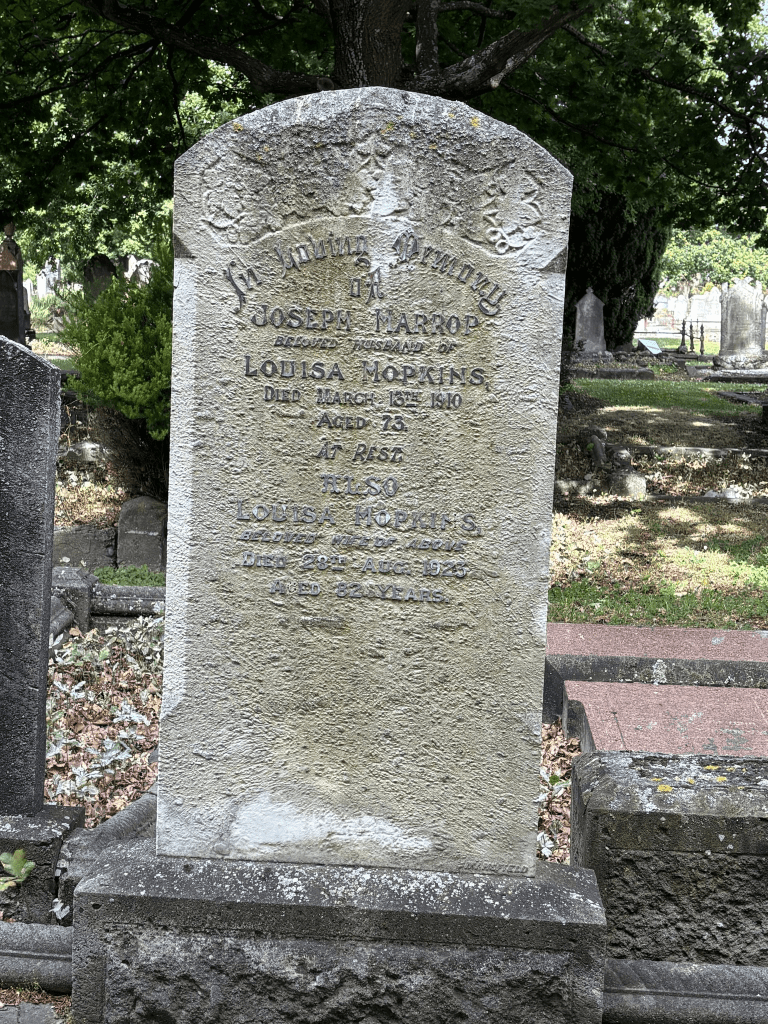
John Harper was born in Norfolk in 1826 and he died on 8th December 1916. His wife Elizabeth died on 7th January 1916 and they are buried in the Woolston Cemetery. There were several brief obituaries but I extended my search to January 1917 and found one with more information. John Harper came to New Zealand on the Randolph with his wife and three sons. Note the passenger list for the ship only has John and his wife Elizabeth with son Elijah. Their son Randolph was born onboard the ship. There is no guarantee that the passenger list that I found online is correct. The obituary said that they lived in a cave in the Heathcote Valley when they first arrived and then in a sod hut near the Heathcote River. He farmed in what is now known as the Woolston district. Said to have been the first to use a horse driven threshing plant in New Zealand. Later he was the driver of the Ferry Road Coach. Lived on Ferry Road at a spot called Harper’s Siding. This is where Harper’s Road later Dampier Street was formed. He left 6 sons, 4 daughters, 60 grandchildren, 72 great grandchildren and 2 great great grandchildren. One of the obituaries was worded in such a way that it sounded like he had 160 children. None of the obituaries mentioned that he was a survivor of the shipwreck Taiaroa in 1886. His wife wrote a letter to the editor to correct the article which said that he was a brickmaker. She said that he was the owner of the Ferry Road Coaches
Dampier Street in the suburb of Woolston, Christchurch
Dampier Street in Woolston- Formerly Harper Street. Named after Henry John Chitty Harper (1804-1893). Re-named Dampier Street. Named after Christopher Edward Dampier (1801-1871). Harper Street first appears in street directories in 1887. Bishop Harper was the first Anglican Bishop of Christchurch 1856-1889. Dampier Street is first mentioned in The Press in 1909 in a report of a meeting of the Woolston Borough Council. Dampier was a lawyer and solicitor to the Canterbury Association. He arrived on the Phoebe Dunbar with the Association’s documents. He had bought Rural Section 33, 50 acres on the “North Bank Avon, near (Barbadoes) Cemetery”.
A small amount of information from the library website and I personally think that most of it is totally wrong.
Plenty of information online about Christopher Edward Dampier and he didn’t live in Christchurch for very long and within 10 years of arriving in New Zealand he moved to North Canterbury. The information that I disagree with is that the street was named after Bishop Harper. The Harper Street that was named after him was in Sydenham and it is now Orbell Street.
I spent ages on Papers Past trying to find a Harper Street in Woolston with no luck at all. The only Harper Street in Christchurch that I could find was the one in Sydenham. By sheer luck I found Harper’s Road in Woolston. There were ads in 1881 for new houses for let and there were new houses in 1882 and 1884. The ads in 1891 mention that the street was near St Peters Church on Ferry Rd. The most interesting information was in 1883 where a couple Mario and Fanny Simatti were charged with arson and attempting to defraud the insurance company. Because the street was known as Harper’s Rd and later as Harper’s Street this always means that it is named after a person. There was a death notice and obituary in 1933 for Elijah Harper who lived on Dampier Street. He came to New Zealand on the Randolph with his parents Mr and Mrs John Harper and he was two years old. He was born in Norfolk but lived most of his life in the Woolston area and went to Woolston School. His father purchased a large section of land in Heathcote and Woolston. His parents lived on Ferry Road and this street runs off Ferry Road.
It would have been renamed because of the confusion between the Harper Street in Sydenham and the one in Woolston.
Not much information on Papers Past about Harper’s Road or Harper’s Street apart from the ads and the arson. Nothing about the name change. The earliest entry that I could find under the Dampier Street name was in 1909 when there was repairs to the asphalt. Lots of ads over the years plus death notices. Recruitment notices during World War One.
In 1919 there was a court notice where John Grant successful applied for a prohibition notice for his wife. Sounds like the scene in the court could have been interesting as his wife claimed that her husband should also have a prohibition order. He appeared in court with a black eye which he possibly received when drinking in a pub. Sadly Bridget Grant drowned in the Heathcote River in 1920 and the inquest said that she probably fell into the river when drunk.
From 1915 onwards there were several mention of the Woolston Brass Band rooms. At one stage the Dampier Street Sunday School were using the band rooms to hold their meetings. In 1932 they had to vacate the band rooms and find their own premises. In 1954 there was discussion about building a new band room as the building had been occupied for 50 years and was in bad repair. In 1961 the new hall was opened. This building didn’t survive the earthquakes and was demolished. It is still an empty section.
Seemed to be an accident prone lot on this street plus there were several small fires over the years.
Most of the houses on this street were built between 1905 and 1930 and many still look like they are in good condition.
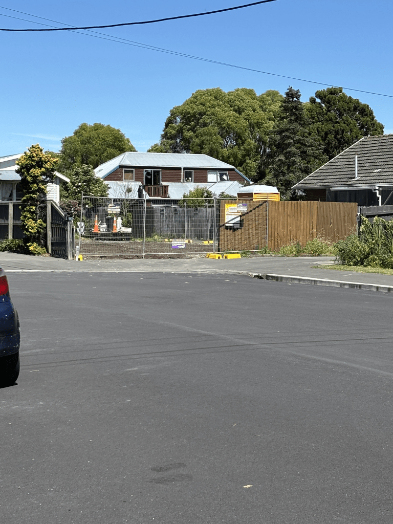
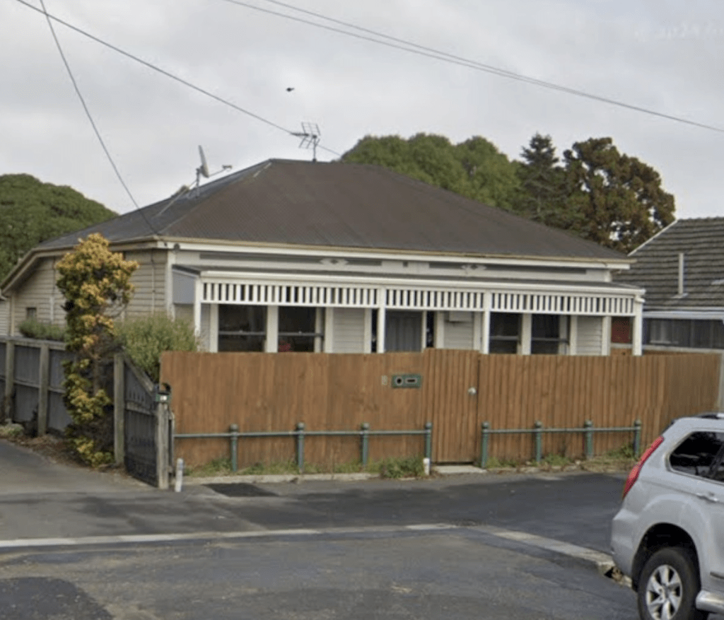
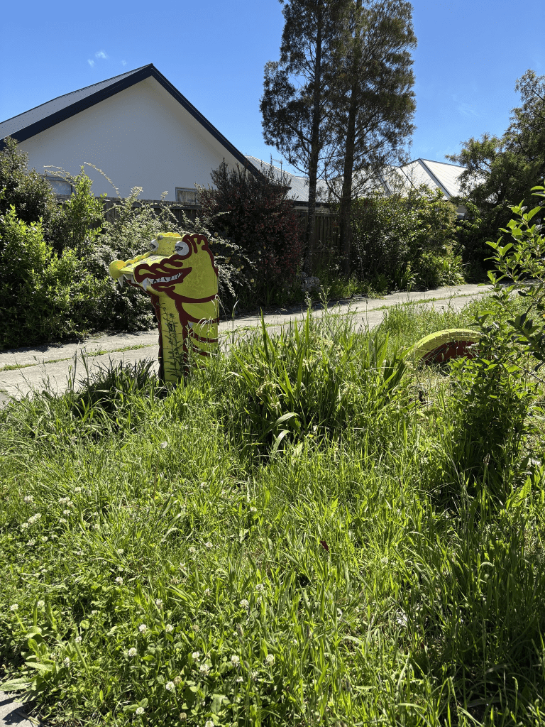
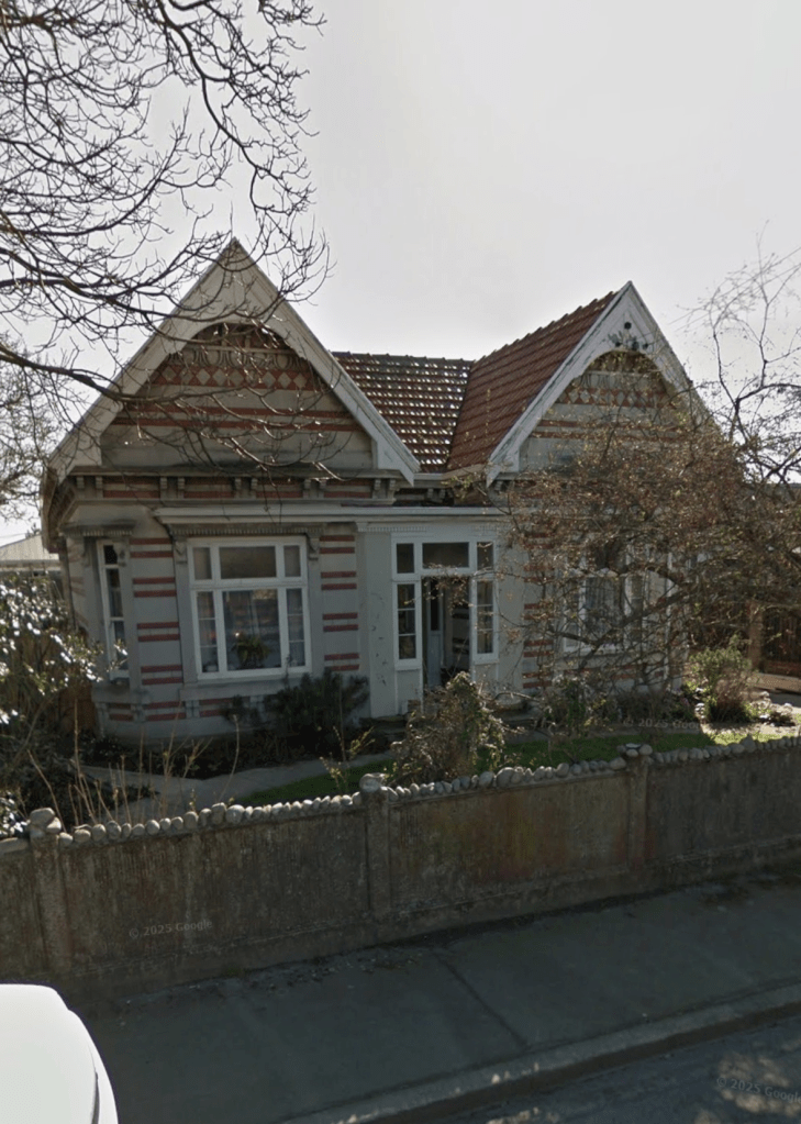
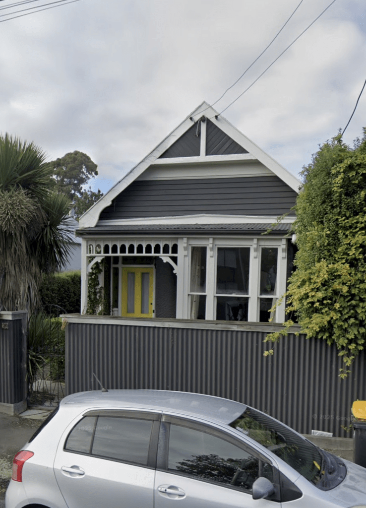
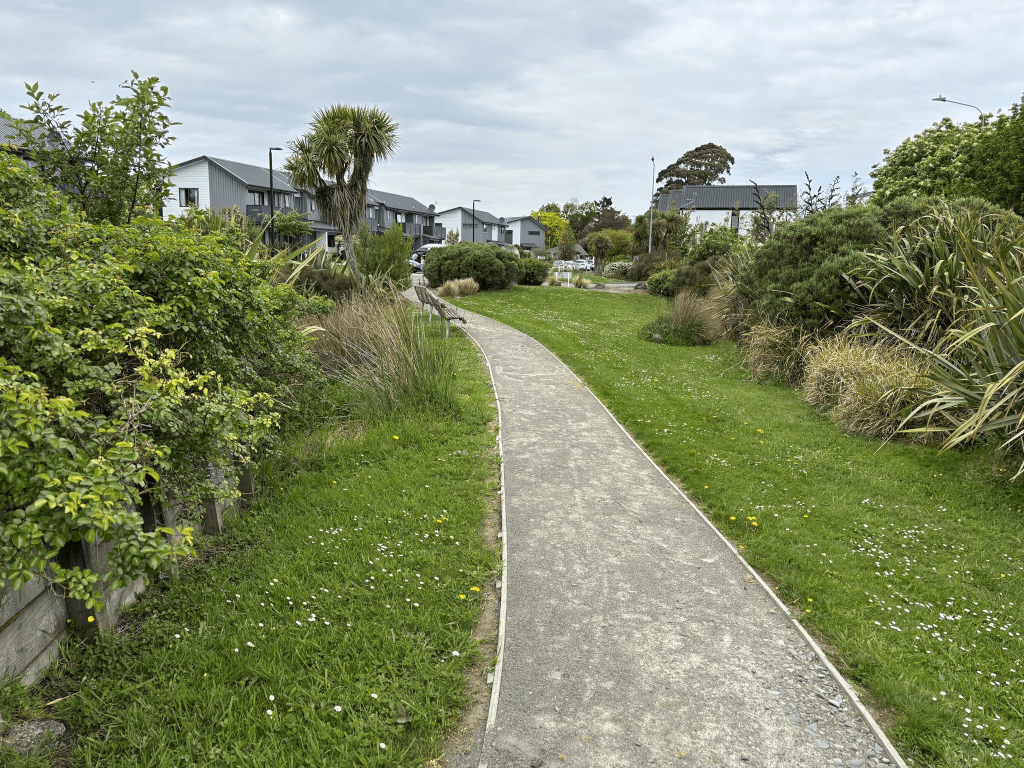
I actually walked this street way back in November and I am so behind in researching streets. The reason that I decided to walk this street was because there was an article about a house that was being demolished. Apparently it was the childhood home of Ray Columbus. This house was built in 1905 and I think that it is sad that it was demolished as I looked on street view and it looked cute. I took a screenshot from street view of this house and of the Woolston Brass Band Rooms. I quite liked this street and it is a strangely shaped street as it looks a bit like the letter Z but the middle part of the Z is almost straight. Edited to say that the street was developed at a site known as Harper’s Siding and for a few years the street was known by this name.


Silvester Street in the suburb of Woolston, Christchurch
Silvester Street in Woolston – First mentioned in The Press in 1909 when building sites are advertised for sale there.
A tiny amount of information from the library website. I searched Papers Past and Ancestry website for anyone with the surname Silvester and there were several families but most lived out Springston way but the others lived in Sydenham. I couldn’t find a place name Silvester. I would have expected if it was named after a person that the street would have an s on the end of it. The earliest entry on Papers Past was in 1907 when a shed belonging to H Stewart was destroyed by fire. In 1909 there were several sections for sale and they were abutting to the New Recreation Grounds.
From 1911 onwards most entries were ads for grazing land being available. In 1916 an electric wire was to be run from Woolston Railway Station to the street to connect residents to electricity. More sections available in 1924. In 1929 a footpath was formed from Ferry Rd to Silvester St through the park. From 1930s onwards it was mostly death notices. In 1940s and 1950s there were a few mentions in connection with the best street competition. There was a factory called Robinson Tile Surrounds Ltd mentioned a few times in 1955. In 1974 a couple of dogs were poisoned in the street and the bowling club was mentioned in 1977.
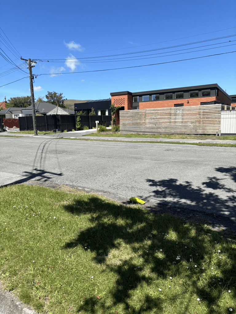
The houses date from 1905 to ones currently being built. Several were built in 1920s. It was hard to the one built in 1905 and most of the other older houses were in good condition except for one rundown looking. The units built in 2024 were interesting but the property that I did like was because of the fun letterbox. The bowling club is next to the walkway to the park. I found a geocache near here. The new units being built had the builders working on them and don’t builders take time off these days. There are new units being built on my street and they have been working seven days as well. An interesting street. It is bugging me as I feel that I should know this street from when I went to Woolston Primary School in 1967. I feel that I had a school friend who lived on this street.


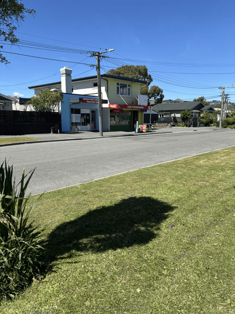
Hobson Street in the suburb of Woolston, Christchurch
Hobson Street in Woolston – Named after Captain William Hobson (1792- 1842). Hobson was a naval officer and the first Lieutenant Governor of New Zealand. First appears in street directories in 1941. New Zealand had celebrated its centenary in 1940.
A small amount of information from the library website and there are at least three websites that have information about William Hobson including Wikipedia. He was born in Waterford in Ireland and died in New Zealand aged 49. He died after having a second stroke. So many streets in New Zealand named after this man.
I didn’t much information on Papers Past but I did have to narrow my search to Hobson Street, Woolston. A few engagement notices and several death notices and I found a death notice for an indirect ancestor. Without checking my family tree notes I think that this woman was Nana Cave’s aunt. I also narrowed my search to between the years of 1935 and 1945 expecting to find information about it being state houses but nothing. In 1956 the street was voted the best State House block in the best street competition.
When I walked this street this morning my gut feeling told me that it was a State House street as the style of the houses were typical of 1940s state houses. At the end of the street there are modern looking units but they also had a State House / Kainga Ora look about them.
I check the valuation website that I use and some of the 1940s state houses are now privately owned. A few houses that were built a bit later. I had a look on street view and where the new units had been built there were neat and tidy state houses. They were still there in 2022 but street view for 2024 shows the new units being built and there is a sign next to them saying Kainga Ora project. Interesting as when state housing was first proposed it was stated that the tenants needed plenty of outdoor space for children to be able to safely play. The new units that they are now building has everyone crammed in like sardines.
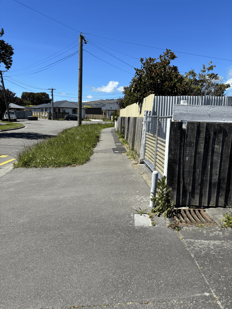
The street actually looked fairly pleasant but no one seems to be mowing the grass verges. I shouldn’t criticise as my lawns and gardens look dreadful at the moment. I will blame the pulled chest muscle as it meant that I couldn’t do much for about three weeks and this weekend my neighbours have borrowed my green bin. Good excuse to not do any gardening.

Ettrick Lane in the suburb of Richmond, Christchurch
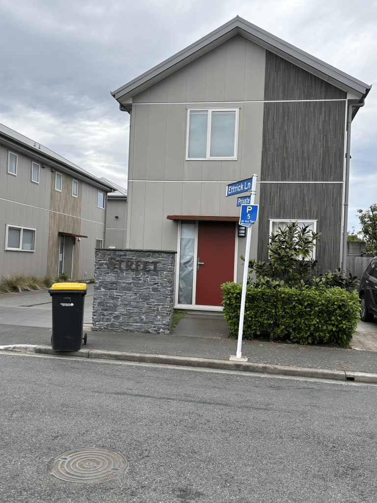
Ettrick Lane in Richmond and nothing on the library website. The only reason that I knew is was a separate street was the sign post. I couldn’t find out how the lane got it’s name. There was a family with that surname who lived on Bealey Ave and London Street which are reasonably close to where this lane was developed or it was a name connected to the developer. The units here were built in 2019 and they are ugly plus don’t seem to have car parking available. I looked at street view from before the earthquakes and the house here was gorgeous. By googling 19 Forth Street I managed to find lots of information about the house. Personally I think that the lane should have been called Muschamp Lane. The original house at 19 Forth Street was built in 1914 by LDCM Muschamp and he used Oamaru stone and brick. The house was being considered for heritage status when the earthquakes happened. The house was sold as no insurance or ECQ being transferred to new owners. The insurance company put it into the too hard basket when it came to repairing it. Sadly I thought that the house had been demolished but it had actually been deconstructed. The new owners only wanted the land and weren’t interested in the house but an architect who missed out on buying the house to restore it made an offer to the new owners. He offered to demolish the house for free and he deconstructed it and one day he wants to rebuild the house. He took the house apart in such a way that it can be rebuilt. Google Muschamp House and you can found the whole story there along with photos.


Warwick Street in the suburb of Richmond, Christchurch
Warwick Street in Richmond – formerly George Street. Named after Warwick, a town in Warwickshire, England. George Street first appears in street directories in 1887. Re-named Warwick Street on 7 March 1904. Among a number of streets re-named in 1904 and given the names of place-names in the United Kingdom
A small amount of information from the library website. I looked to see if I had been to Warwick as I know that I have visited Warwick Castle. I vaguely recall that I did it as a day trip from Stratford upon Avon.
Not as much information on Papers Past as I was expecting. The usual death notices and ads. Under George Street the earliest entries were a couple of ads in 1885. Drainage issues were mentioned in 1897. The street changed names in 1904 and the entries under the George Street name were in 1906. Under Warwick Street it was mostly death notices and ads. There was one ad that was written as if it was an article that was repeated over and for at least 20 years. It was Mrs C Smith of 9 Warwick Street claiming that some pills cured her daughter of kidney problems but sometimes it was liver problems.
In 1950 there were complaints about the state of the road and footpaths. Because of the market at Avebury Park and the other market nearby this street was full of cars today. I would hate to live here. I also couldn’t get a decent photo of the houses dating from 1905 because of all the cars so I cheated and took screenshots from street view. A few of the houses here were built in 1990 and 2000 but a huge number were built after the earthquakes. When I looked at street view from before the earthquakes I realised that I knew the street. I texted my son to doublecheck and yes Robert and his wife were renting here before the earthquakes. The units where they were living didn’t fare well in the earthquakes and I was so pleased that they were living in my house when the earthquakes happened. I was living in the UK at the time. These units were at the end of Warwick Street where there is the stream. I still can’t find a name for this stream. There is an entrance to the Stanmore Road supermarket on this street.


Gowerton Place in the suburb of Richmond, Christchurch
Gowerton Place in Richmond – formerly Part of Vogel Street. Named after Gowerton in Wales. Gowerton was the birthplace of George Manning (1887- 1976), the mayor of Christchurch 1958-1968. Every year at Gowerton School a major prizegiving award is given in Sir George’s memory as he attended the school. Named in 1959.
A small amount of information from the library website and yes I know that I said that I wasn’t going to walk any more streets until I have researched all the ones that I have already walked. I visited Avebury House today and had to park miles away.
I only checked Papers Past for Gowerton Place and the new pensioner cottages were opened in April 1960. There were 30 new units for single women. There was a letter to the editor a few months later from someone complaining that the council didn’t make a profit from such cottages. The rest of the information on Papers Past were death notices and all the death notices were for women. There was an article in 1989 about the Richmond area and it commented about the stream’s grassy gully can be seen winding along beside the flats on Gowerton Place. I found the 1963 maps for drains and streams but this stream wasn’t on it.
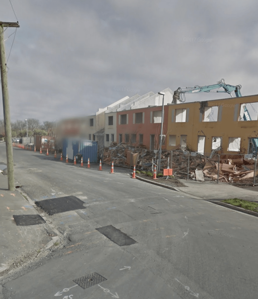
I did walk the street and the grassy area has a wee path to walk on. You can’t see where the stream goes but it would be beside the path. All the units here were built after the earthquakes and the old units were demolished. It is now social housing rather than pensioner cottages and they are crammed in like sardines whereas the old cottages had plenty of grassy spaces. I felt safe walking here which doesn’t usually happen in such streets. I looked at street view from before the earthquakes and it was a very different looking street. I took a screenshot of the street from before the earthquakes. I did doublecheck google maps for Gowerton in Wales and I haven’t been there.


Broad Street in the suburb of Woolston, Christchurch
Broad Street – Broad Street, Woolston first appears in The Lyttelton Times in 1906 when R Davidson is advertising for the owner of a stray bay gelding to collect it from his property.
A small amount of information from the library website. On Papers Past I had to limit my search to Broad Street Woolston as there were thousands of entries. There were so many streets with the same name and for some reason our media in the early days posted a huge number of articles about a Broad Street in London. I don’t know how this street got it’s name. It could have been a wide street. There is a Long Street nearby. It could have been someone’s surname but when a street is named after a person it frequently has an ‘S’ on the end of it.
Because I restricted my search I didn’t get as much information as I would have liked. There were a few people living on the street until the 1960s but it was mostly industries here especially ones that needed water from the Heathcote River. The Armigers Dye Works opened a new works here in 1909. The Heathbank Poultry Farm AKA Heathbank Egg Farm was mentioned frequently over several years. In 1939 there was the Canterbury Co-op Poultry Producers mentioned and they possibly purchased a poultry farm in 1933 from the widow of a poultry farmer. William Hadler had died in 1932 and I found his obituary.
A Wine and Spirit Merchant was mentioned along with a scrap metal business plus K B Turner Ltd.
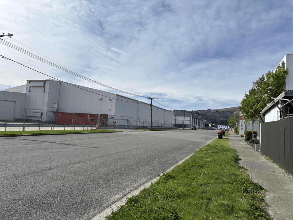
I actually walked this street last month but only now getting time to research it and write it up. The street is purely industrial these days and I walked it on a Sunday as I find that Sunday is best for walking industrial areas and much safer. Independent Fisheries take up all of one side of the street. I would post a photo but the site is no longer letting me do this. Telling me that my photos are too large yet I was able to load photos on Wednesday. Looks like I might have to start paying for this rather than using the free option. Edited as I obviously have now paid a subscription

Langdons Road in the suburbs of Papanui and Northcote, Christchurch
Langdons Road in Papanui and Northcote – Named after Thomas Langdon (1832?-1904). Langdon was at first a farmer and later a butcher. Langdon and “his road” are first mentioned in the Star in 1872 in a report of a meeting of the Avon Road Board. He is a resident of Langdons Road in 1887, the year it first appears in street directories. On 24 May 1926 there was an attempt by the council to re-name the street Lambeth Street. The Papanui Progress League protested against this, saying residents “feel it to be a slight on the family who have resided for many years in the district”. Langdons Road was linked up to Bishops Road (later Greers Road) in 1955 when the first state houses were built there.
A reasonable amount of information from the library website. There were several articles in Papers Past about his death. They all say that Thomas Langdon of Langdon and Steel Butchers dropped dead on the footpath opposite his residence in Papanui. He had been suffering from heart disease. His obituary said that he had started walking along Chapel Street towards Harewood Rd and when opposite the Wesleyan Church he fell down and died. He had arrived in NZ in 1858. As usual the family trees on Ancestry website were full of mistakes. A couple had him still alive in 1911 and they had obviously got confused with all the other men with the same name. The silly thing is that they had noted his death in 1904 on their family trees.
There was a huge amount of information on Papers Past and I eventually stopped looking at ads as there were thousands of them. The earliest entries that I found were in 1871 when a bridge was completed plus a Mr Ladbrook was forbidden to trespass on the street. Apparently he kept cutting ditches into the road to clear water from his property and flooding the street. I forgot to have another search for Frederick and Catherine Cooper as the newspapers wrongly claimed that Frederick’s wife Catherine had died. In 1879 the creek and railway line near the Papanui Station was mentioned. The railway features a lot in news about this street and it was usually in connections with accidents between cars and trains. Lots of death notices over the years plus a few birth notices. So many ads and in the early days they related to the orchards but from the 1920s onwards the ads related to businesses on the road. Charles Sisson had an orchard and Mr F Cone had an orchard called Garden of Eden. Between 1911 and 1920 it was mostly information about the war. From the 1920s onwards the tennis club got several mentions. The bowling club also got several mentions until from moved from the Langdons Road site in 1970. In 1926 a new timber yard was opened called Imperial Timber Ltd and in 1927 a building at this business was destroyed by a fire. The Sanitarium Health Food Factory opened in 1921 and in 1966 there was a fire that gutted the factory. It was obviously rebuilt but was badly damaged in the earthquakes and the business was relocated to Auckland.
In 1930s there were complaints about the state of the road plus they were growing tobacco on a property as an experimental crop. In the 1940s the Firestone Tire and Rubber Company was built where the Papanui Orchard and Gardens used to be. The Papanui RSA new rooms were at the corner of North Road and Langdons Road. The RSA moved in 1984 to a new site. Smith City Market Ltd opened up on the street.
The Education Dept started talking about building a new technical college here as early as 1922 and it was eventually built and opened in 1936. It was known as Papanui Technical College until 1955 when the Education Dept approved of the name change to Papanui High School. Weirdly my old paper map shows it as Papanui Technical College and I didn’t think that my map was that old. In 1952 the railway crossing got warning bells and the staff at the school complained about the bells as they apparently were a distraction to the pupils. This railway crossing needed warning bells as there were many accidents over the years including some fatal ones.
The first mention of State Housing was in 1951 and they were to be built on a block of orchard land. Mentioned again in 1953 as 19 State Houses to be built on Langdons Road on the Robertson Block. In 1954 the six shop sites on the corner of Morrison Ave and Langdons Road were all sold.
In 1958 a Mr James Cave of 188 Langdons Road lost control of his motorbike when the sidecar broke away. I couldn’t find this James Cave on the Ancestry website and I don’t believe that he is related to me.
In 1966 it was declared that the demand for a boys home was insufficient and it would be closed down. It had only been running for two years and only had two boys living there even though they had space for 24 boys. In the 1960s Papanui Shopping Centre and Northlands Shops were mentioned. The library was mentioned in 1969 by someone complaining about the look of it.
From 1950s onwards there seemed to be a huge increase in the numbers of accidents on this road plus the street seemed to feature frequently in the magistrates court.
When I was looking at street view to compare present day with pre earthquakes I discovered a huge block of what looked like paddocks or a park. Managed to found seven pages of information on the council website. The Northlink Shopping Centre was developed on unused industrial land in 2016 after the large block of land was rezoned. The old firestone factory would be demolished for further development on the land. The pedestrian access was adequate for that use. Personally as a pedestrian who walked past the large shopping centre I didn’t feel safe.
I walked this street on Wednesday as I wanted to visit the Cancer Society rooms which are now on this street. I remember them being on Manchester Street.
At the Greers Road end I nearly got hit by a car turning on a red arrow and yes I used the f word at the elderly woman driver. She hadn’t even noticed that there was a red arrow and when I say elderly she probably wasn’t much older than me. The State Houses are all this end of the street and some are looking very neglected. If you look at street view from just a few years ago they were looking very tidy. A couple had lawns that knee high with grass and makes my wildness area for flora and fauna look almost immaculate. Then from about Morrison Ave it is houses on one side of the street and shops and businesses on the other side. There are a couple of houses that date from 1910 but I couldn’t pick them out as they had been altered too much. None of the houses on this street stood out for me. It took me ages to walk past the entrances to the Northlink Shopping Centre because of the cars.
Eventually it is the school on one side and shops on the other side of the street. Cross the railway line and it is Northlands Mall. I did pop into the library. I did chat to a teacher at the school as it was dress up day at the school and it was fun looking at the ones who had bothered to dress up.
I visited the Cancer Society Centre and dropped off my books as I had decided that I didn’t need books about breast cancer any longer. It has been 21 years and I had celebrated with going out for breakfast. As a friend said it was Happy Being Alive Day for me.
I actually didn’t really like this street and didn’t feel overly safe walking it. It was mostly only one side of the street where I didn’t feel safe walking. I didn’t even take many photos which is unusual for what is a fairly long street. Also I object to a shared footpath with bikes when they already have a cycleway.
Kruse’s Drain in Papanui, Christchurch
When researching some streets in the Papanui area I came across Kruse Drain and Kruse’s Drain. Then when I was looking at cemetery records for Thomas Langdon I found Carl Deidrich Kruse in the same cemetery. He lived in the Papanui area and Papers Past frequently mentioned Kruse’s drain. It was a natural water course known as Kruse’s drain. Everyone in the area seemed to want to hook up their drainage to this drain. He was born in Stolzenau and his naturalisation records say that he was Prussian. I have looked at google maps and the city seems to be further south than where I thought Prussia was. It didn’t say when he arrived in New Zealand which is unusual.
Edited as I found information on the museum website and the spelling mistakes are their spelling mistakes. Ancestry records have him as a farmer in Papanui.
Diedrich was a count by birth. The Prussians were at war with Germany and planning to take Saxony. He received word from the rulers in Germany that he must leave, take the 1st boat away as his life was in danger. He took most of his possessions and fled to England. From there he boarded a boat for Australia but on arrival he decided NZ would be a better and safer place to live. He met his future wife on one of the boats and married in Papanui on their arrival in NZ. The ship Isabella Hercus arrived in 1856. He bought a blacksmith shop (as that as his trade) and reared his family in Papanui. Both were respected in Church life and he bought land now the site of St Bedes College boardering Winters Rd. A principal member of the German community, raising money for the German Church his name one of five on the foundation stone laid 1872. Also a member of the Papanui District School committee, a director of the Papanui Saleyards Company and manager of the Harewood Rd Steam Threshing Co. This was a co-operative concern and very successful. After the death of Christina (as she was known) he married again on the 25th July 1892 to Elizabeth Dixon.
Edited again as I found more information about him on Findagrave About Carl D Kruse
Dietrich Kruse was born in Germany in 1829. As a single man he arrived in Lyttelton in January 1856 on the second voyage of the “Isabella Hercus‟. A blacksmith by trade, he set up a business in Papanui. He saw a better future in farming, and by 1862 William Horner had taken over the smithy. Diedrich purchased several blocks of land around the District, but the most notable was the 34 acres (RS 251) that is now the site of St. Bede’s College. Kruse Place, off Grimseys Road, and the drain/waterway that winds its way through Papanui were named after him.