Thorrington Road in the suburb of Cashmere, Christchurch

Thorrington Road in Cashmere – Underhill Road/Street was incorporated into Thorrington Road.Named after Thorrington, a house built on the banks of the Heathcote River, near the Cashmere Hills.Thorrington was the home of an estate agent, Charles Clark (1824-1906), who arrived in Christchurch in 1856. He was living at Thorrington at the time of his marriage in 1865. His son, Leonard Ernest Clark (1871-1932), built nearby Wairoa homestead about 1905 and his grandson Ernle was a celebrated aviator who lived at Thorrington for about 25 years. At one time it was said to have the best private garden in Christchurch and the Clarks hosted large garden parties here. First mentioned in The Press in 1904 when some of the land surrounding Thorrington was subdivided into 62 sections and sold. First appears in street directories in 1917.The section of Thorrington Road running from Cashmere Road to just past Wherstead Street was formerly named Underhill Road/Street. Mentioned in The Press in 1904. Shown on maps 1912-1950.

A reasonable amount of information from the library website. Papers Past didn’t have anything for Underhill Street and for Underhill Road there were a few death notices and sections for sale in 1904 and 1938. A possible reason the the Underhill name is that it was so close to the hill. Underhill is a surname but as this area seems to have part of the Thorrington Estate it is unlikely that it was named after a person.

Couldn’t find a mention of Underhill being changed to Thorrington. Sections were available in 1904 and 1907 and again in 1930s. Sections being available seem to match up with a Clark death. There was a death notice for Walter Scarff in 1944 as he lived on this street and Scarff Place is named after him. There was a dog dosing strip here in 1964 and there is always complaints about barking dogs. Is anyone old enough to remember dog dosing strips. When I was growing up we had one next to us in Lyttelton. I vaguely recall family getting upset one time because of the noise. The noise distressed my mother who was seriously ill.

In1969 the council stated very clearly that they had no intention of altering the purpose of the reserve or transferring it to provide a road. This was in response to the solicitors of RE and EL Morris who were planning on subdividing their land. The Christchurch Bible School was mentioned in 1972 and it gave a full description of their property.

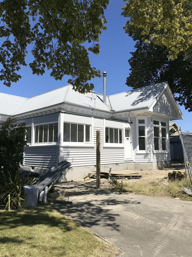
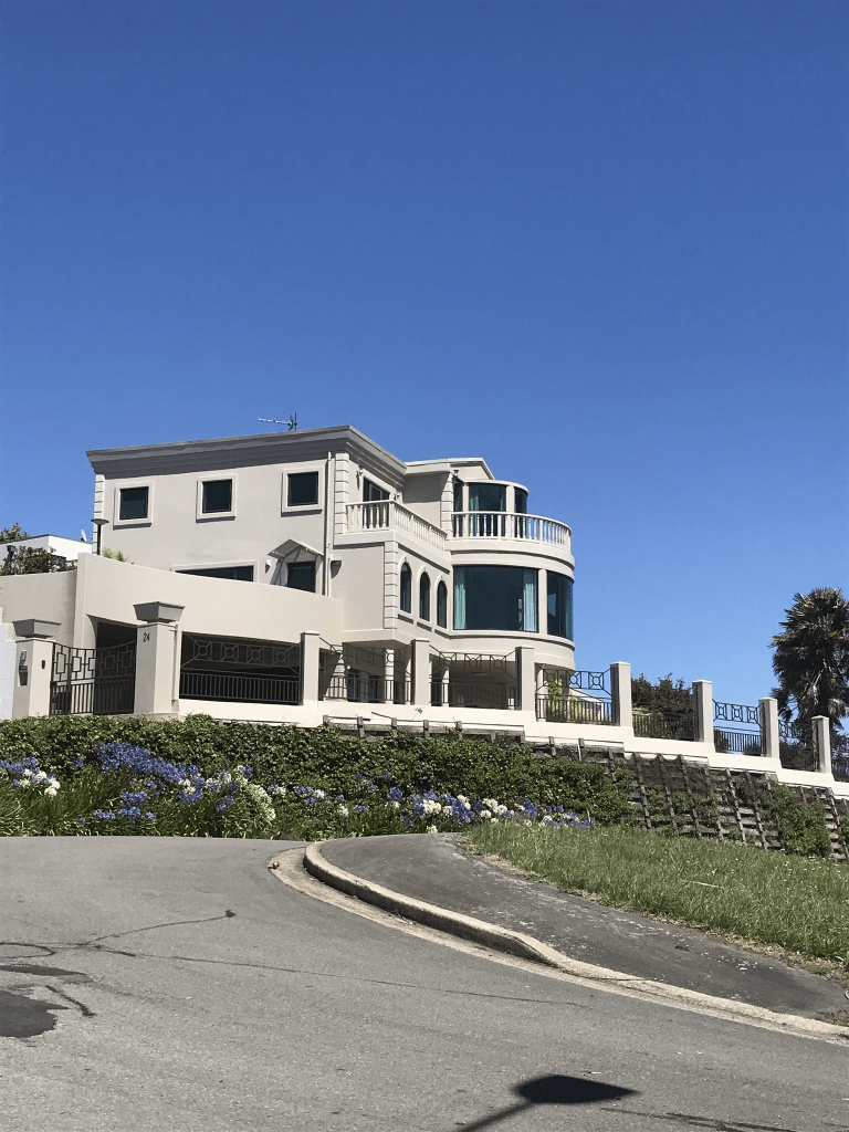
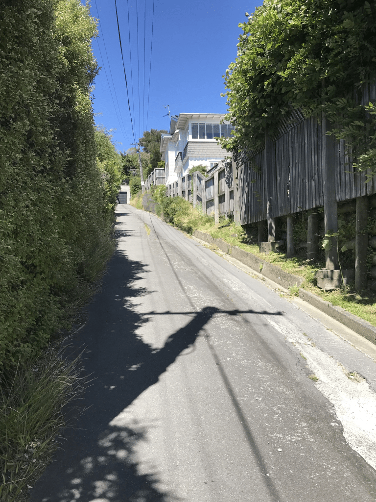
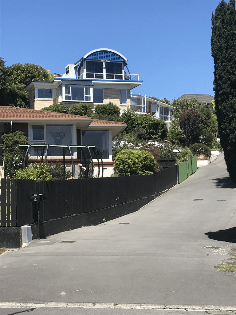
Most houses on this street were built in the 1970s and 1980s but there are still a couple from 1910. There are some lovely older houses here but a couple of the modern ones are really ugly and look out of place. There is a playground next to the entrance to Ernle Clark Reserve. There also seems to be an empty section that is fenced off and there is possibly a dispute over the status of this land. There is a section of land near Ernle Clark Reserve where a developer wants to cut down native trees but there is a caveat on the land but I don’t know if it this fenced off section.

Woodbridge Road in the suburb of Cashmere, Christchurch

Woodbridge Road in Cashmere – First mentioned in The Press in 1904 when Thorrington, “one of the oldest estates in the vicinity of Christchurch” was “disposed of in lots”. First appears in street directories in 1908.

A small amount of information from the library website. Papers Past had several birth and death notices. There were sections for sale in 1904, 1907 and 1909 plus a subdivision approved in 1973. In 1967 the name Thorrington was approved for a new Post Office on the corner of Colombo St and Woodbridge Rd. It officially opened in 1970. There was was horrible incident in this street in 1964 where a woman burnt to death in her kitchen. Going by the details in the report it sounded like a suicide.

There are still several houses here from the 1910s and 1920s plus another group of houses from 1970s. The older houses are lovely and there is one house from 1910 that is being renovated.

Overdale Drive in the suburb of Cashmere, Christchurch

Overdale Drive in Cashmere – Named after Overdale in Yorkshire. The name was suggested by Bruce Carey, a long serving committee member and also chairman of the Rhodes Home board. The Rhodes family had emigrated from southern Yorkshire. Formed on a subdivision of the horse-paddock slope in front of the Rhodes Memorial Convalescent Home in 1991. First appears in street directories in 1993.

A reasonable amount of information from the library website and nothing that I can add to it. Most of the houses here were built in the 1990s and 2000s. The more recent houses are huge and I have finally figured out what I find slightly weird about some of these houses. They look like posh hotels. The buildings that take up most of the street is a retirement home called Rhodes on Cashmere and it is described as a boutique retirement home. That is another word for expensive. I did like the house that was flying a pirate flag. At the end of the street there is a walkway down to Purau Tce.

St Vincent Terrace in the suburb of Cashmere, Christchurch

St Vincent Tce in Cashmere – Named after HMS St Vincent, a naval training school in Gosport, Hampshire.Named during World War II by John Glasgow Taylor, a builder. His son, Sub Lieutenant John Charles Taylor (1920?-1943), had trained at HMS St Vincent, the Royal Navy’s training ship for young sailors at Gosport, Hampshire and was killed in an aircraft accident on 10 April 1943 while serving with the Royal New Zealand Naval Volunteer Reserve in North Africa. First appears in street directories in 1946. John Glasgow Taylor is a resident.[Gordon Ogilvie said in 2008 in an interview with Margaret Harper, that the information about the street name was given to him by local residents when he moved into the area in 1968.]

A lot of information from the library website and I couldn’t anything on Papers Past about the naming of the street. It doesn’t appear on early maps but neither does the nearby Merlewood Ave which was a street from 1914. The earliest information on Papers Past is from 1950 and mostly death notices. John Glasgow Taylor lived in Ruskin St until 1946 and then he moved into 1 St Vincent St. His brother also had Glasgow as a middle name and it was their mother’s maiden name. Half the houses here were built in the 1020s including the one that John Glasgow Taylor moved into. They have no connection with Thomas (Tommy) Edward Taylor who is responsible for the naming of nearby Merlewood Ave. I suspect that this was an unnamed right of way for the 4 or 5 houses that were here.

It is a steep and narrow wee street with no footpath. The houses are lovely especially the 1920s wooden villas. If a friend who lives on Merlewood Ave had looked out of her window she would have seen me waving at her house. The resident that I chatted with thought that I am mad to be doing so much walking but wished me luck.

Sloan Terrace in the suburb of Cashmere, Christchurch

Sloan Tce in Cashmere – Part of Hunter Terace (south)Probably named after Patrick Bernard Sloan (1887?-1965). In 1936 Sloan, a carpenter, is listed in street directories as living at 139 Western (later Waimea) Terrace where this street was later formed. The southern part of Hunter Terrace was named Sloan Terrace in 1961 after Thorrington School was built. First appears in street directories in 1964.

A small amount of information from the library website and there are mistakes in this information. Patrick Sloan did live at 139 Waimea Tce but that house is still there and it is on the other side of the river from Sloan Tce. There isn’t a street formed at 139 Waimea Tce. Patrick Bernard Sloan was born 7th March 1885 and died 1st February 1965 and he grew up on Simeon St. It is interesting that when he died he was living back on Simeon St in what as possibly the same house where he grew up. He lived at the Waimea Tce address from 1941 to 1949 and from 1949 to 1961 he was living at 9 and 15 Centaurus Rd. Sloan Tce was developed at 15 Centaurus Rd and Remeura Tce was developed at 9 Centaurus Rd. In 1951 there was an issue with his subdivision as the council and the Sloans were disagreeing about a towpath along the river. They owned 8 acres of land at the Cashmere end of Colombo St and their plan was to subdivide the land into 40 sections. The road was developed as far as the towpath which I suspect is now what is known as the Donkey Track. I am not sure how it was called Hunter Tce South as it wasn’t ever connected to Hunter Tce. I had a good look at early maps especially the ones from 1950s. The couple owned other blocks of land including one on the Main South Rd.

This street has houses on only one side of the street as the Heathcote River is on the other side. The street is on the high side of the river. None of the houses stood out for me and most were built in 1950s and 1960s. There is an entrance to the Remuera Reserve near the end of the street. At the end of the street there is the Donkey Track and this is a pleasant short walk that takes you to Malcolm Ave.

Remuera Avenue in the suburb of Cashmere, Christchurch

Remuera Ave in Cashmere – Remuera Road first appears in street directories in 1955. Becomes Remuera Avenue in 1964.

A tiny amount of information from the library website. Most entries on Papers Past were ads for selling sections or houses. There were 27 sections available in 1957 and most houses here were built in 1950s and 1960s.

The street runs from Colombo St by a shopping centre and curves around to Centaurus Rd. None of the houses stood out for me but there is a reserve and a playground near the Centaurus Rd end. I actually walked the street twice today as I ended up walking in a figure of eight. I was going to attempt a Wherigo geocache that starts here but I couldn’t figure out what to do. I have now played with the app on my phone and I think that I have figured it out so I will have to go back to this street.

Edited because I found out extra information where researching Sloan Tce. This street was a tiny cul de sac in the 1950s and it expanded to Colombo St when the land was subdivided. Patrick Bernard Sloan and his wife owned 8 acres of land in this area which they started subdividing in the 1950s and after a couple of issues with the council finished subdividing in the early 1960s.

Purau Terrace in the suburb of Cashmere, Christchurch

Purau Tce in Cashmere – Named after Purau, the estate of the Rhodes family on Banks Peninsula. The Rhodes Memorial Convalescent Home was built in 1886 with help from money contributed by the sons of Robert Heaton Rhodes (1815-1885). The street was formed on a subdivision of land belonging to the Home in 1952. First appears in street directories in 1957.

A small amount of information from the library website and nothing I can add about the name. You can borrow from the library a book called Rhodes on Cashmere: a history of the Rhodes Memorial Convalescent Home. It is a good read.

Not many entries on Papers Past apart from a few death notices. In 1953 there were sections for sale on behalf of The Rhodes Memorial Convalescent Home.

I had walked down through the Purau Reserve and was pleased that I could walk back to my car on the flat from this street. This looked like a lovely street and most houses had lovely gardens. Most houses were built in the 1950s but the one that caught my eye looked modern. Not sure if I liked it but it certainly stood out.

Nutfield Lane in the suburb of Cashmere, Christchurch

Nutfield Lane in Cashmere and it isn’t on library website. I suspect that the name for the street is because of all the trees on the property and likely to have included nut trees.

Most houses here were built in 1950s and there were a few death notices. There were sections available in 1967 and they were described having frontage to an artificial lake and each section includes a portion of the woodland. The owner of the land died in 1964 and his obituary said that he died at his home in Kirwee. By 1969 his widow was living at 6 Nutfield Lane. Most of the houses here were fairly ordinary looking but No 6 Nutfield is an interesting looking building and it is now Lotus Day Spa. There was also an older looking house on the corner with Colombo St called Nutfield House yet it seemed to have a Colombo St address. The owner of much of the land in the area was Leonard Ernle Clark and there is a nearby reserve with his name. Lots of entries for him on Papers Past because of his flying history. I was surprised that there isn’t a wikipedia page for him. He owned the Thorrington Estate. His grandfather Charles was the original owner of Thorrington Estate and it was much reduced by the time Ernle Clark took over the estate from his father Leonard Clark. I am confused why the obituary said his home was in Kirwee as the electoral rolls have him living at 6 Nutfield Lane.

Majestic Lane in the suburb of Cashmere, Christchurch

Majestic Lane in Cashmere – Named after the Majestic Theatre, until 2014 at 126 Manchester Street, Christchurch. Named because it was developed on the site of a property used by the New Life Centre, an organisation which also used the Majestic Theatre. The site was part of the old Thorrington estate. The old Wairoa homestead and a block of flats were demolished and eight sections were sold. Developed in 1994.

A small amount of information from the library website. There were a few entries on Papers Past about 16 Thorrington Rd where this lane was developed. The owner of the Thorrington Estate subdivided his land a few times. In 1970 part of the Thorrington Estate comprising of 9 flats and over 2 acres of woodland were sold. That same year there was an application by the New Life Centre for a permit to allow a residential Bible Study School to be set up. The 9 flats would be converted into living quarters for the students. The main house to be admin and lecture rooms. The property was obviously sold again in the 1990s but Papers Past doesn’t cover this period. The buildings were demolished and land divided into 8 sections. All the houses here were built in the 1990s and they are huge. One house right at the end I suspect has been built to resemble the original big house that was on the property. Wish that I could have got a photo of it. There was also a wee footpath to walk on for most of the lane.

Lucknow Place in the suburb of Cashmere, Christchurch

Lucknow Place in Cashmere – Named after Lucknow, the capital of Uttar Pradesh State in northern India. One of the streets in Cashmere given the name of a place in India. First appears in street directories in 1991.

A small amount of information from the library website and the Indian names for Cashmere are because of John Cracroft Wilson. He owned a huge amount of land on the hills here and had a history with India.

Most houses were built in the 1990s but some were built within the last couple of years. I was surprised that I hadn’t walked this street as I have walked the nearby Bengal Drive. When I checked google maps I realised why I hadn’t walked it. Most the street had been blocked off as there were 2 or 3 houses being built. I would love to have got a photo of one of them as it was an amazing looking house.