Daresbury Lane in the suburb of Fendalton, Christchurch

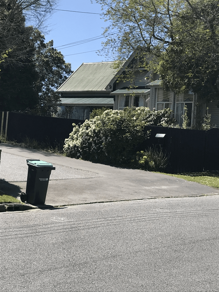
Daresbury Lane in Fendalton -Formerly Korari Street. Named after korari, a native New Zealand flax plant, Phormium tenax. Re-named Daresbury Lane. Named after Daresbury, a house in Fendalton Road with another entrance off Daresbury Lane. Named to commemorate the Deans families’ efforts to conserve the native forest trees in Riccarton. The naming was also designed to showcase the Maori names of trees. Named in 1892 when John Deans (1853-1902) split up 150 acres of the Deans Estate into 105 lots which were auctioned. Korari Street first appears in street directories in 1911. Re-named Daresbury Lane in 1962. Daresbury is a 50- room house, originally on 25 acres, built between 1897 and 1901 for George Humphreys (1848-1934).

A reasonable amount of information on the library website. In Papers Past in 1910 there were sections for sale from the Deans Estate plus drainage was mentioned. In 1954 there were 20 sections from the Daresbury Estate. Many death and engagement notices. The street name change was mentioned in April 1960 and the name change was by special order. Daresbury House in the 1960s held many events for charity. I found an article from 1974 which talked about a Rookery at Daresbury House which existed in 1930s and 1940s.

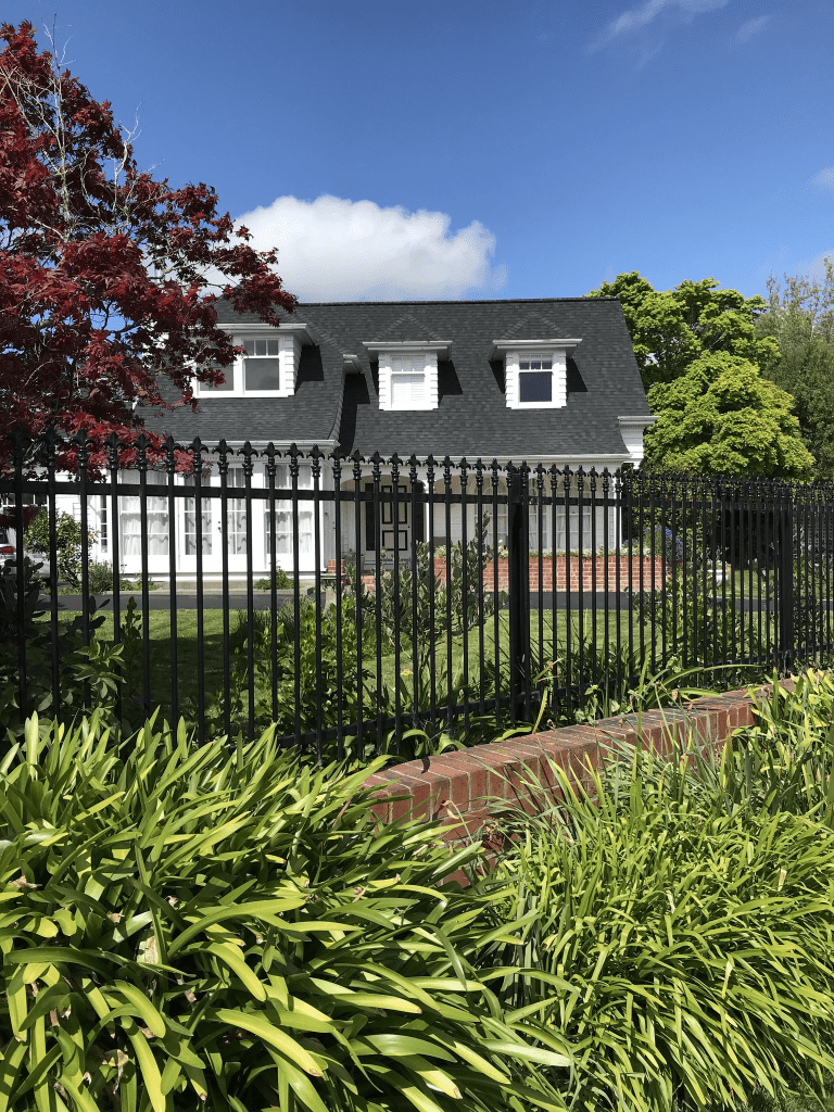
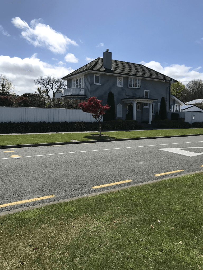
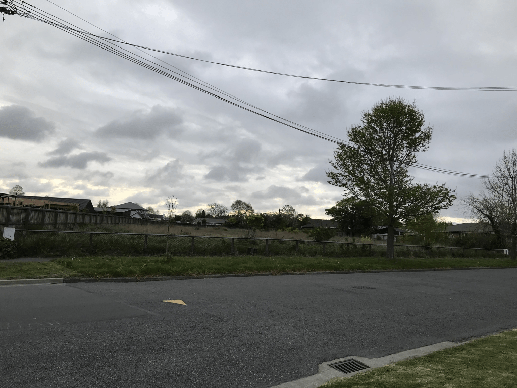
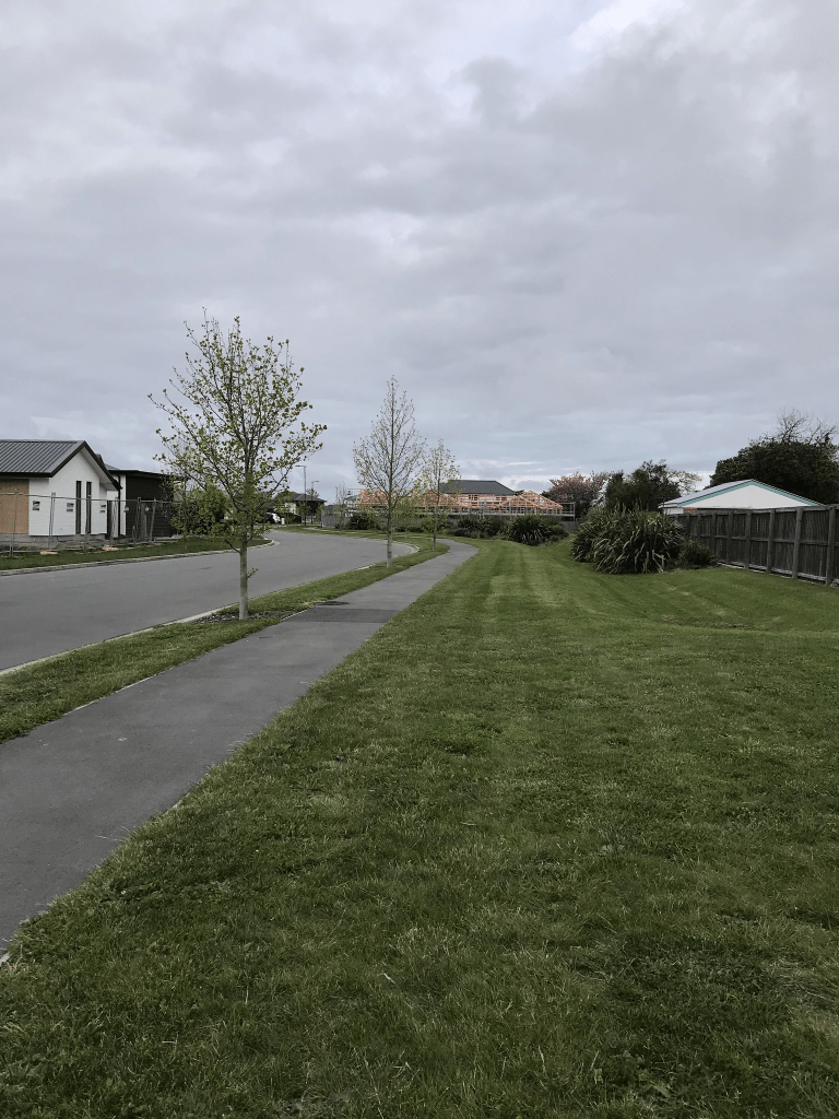
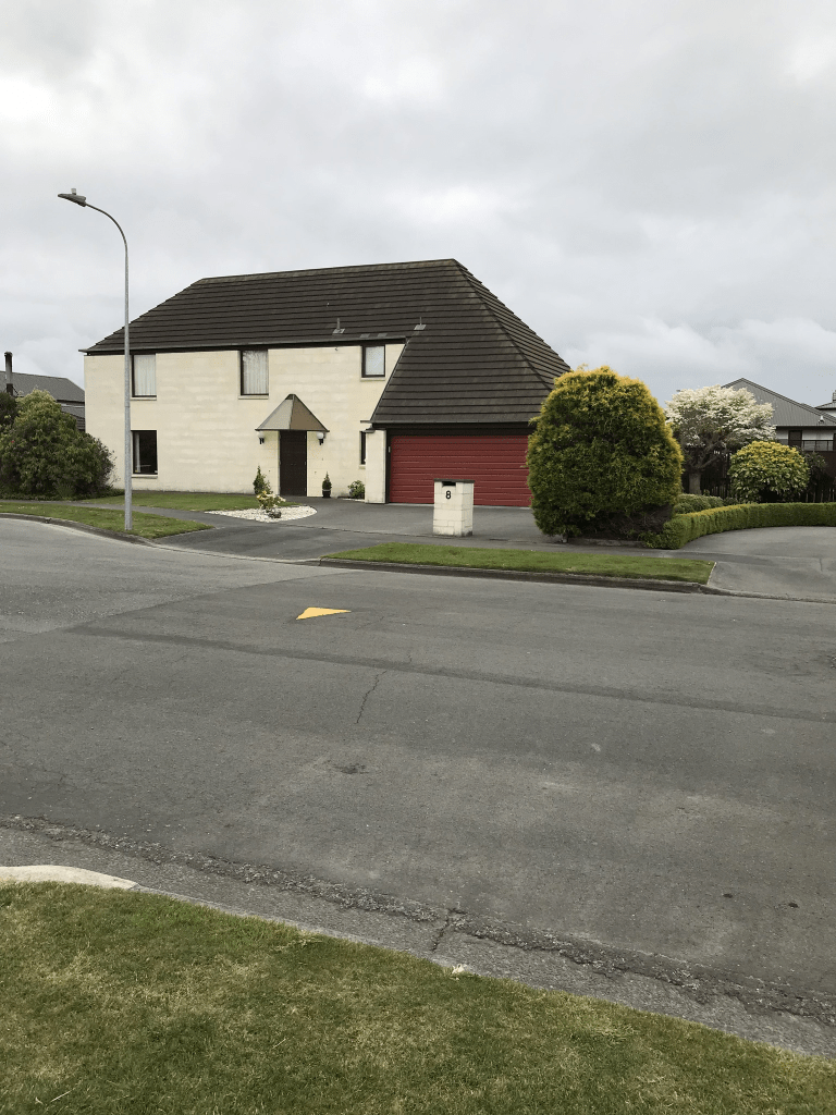
The oldest house on the street is Daresbury House which was built about 1900 and I believe that it’s original address was Fendalton Rd. The rest of the houses date from 1905 to 2015 and some are really lovely. Daresbury House is gorgeous and the property is being subdivided again. The planned houses just look so wrong as the designs are too modern and will look out of place.

Makora Street in the suburb of Fendalton, Christchurch

Makora St in Fendalton – formerly Kaka Street. Kaka Street was formed off 159 Fendalton Road. In the Murray-Aynsley subdivision. Re-named Makora Street at the request of residents in 1942. Kaka Street is first mentioned in The Press in 1929.

A small amount of information from the library website. Not much on Papers Past apart from death notices and then in the 1970s there were engagement notices. In 1941 there was a new subdivision from the Blair Athol estate. There wasn’t a reason given for why the residents wanted the street name changed from Kaka to Makora. There was mention of a soil cement house in 1950 and I got the impression that it was a new concept.

The houses here cover every decade from 1940s to 2020 and the house that I loved is apparently from 1950 but I was positive that it would have been from 1910 or 1920. A huge range of house styles ranging from really lovely to really ugly. Some lovely gardens but why do the ultra modern houses have such sterile and boring looking gardens. I was doing a lab adventure yesterday and decided to walk from waypoint to waypoint rather than drive.

Rochdale Street in the suburb of Fendalton, Christchurch

Rochdale St in Fendalton- Named after Rochdale in Lancashire, England. John Ingledew Royds (1870-1949) bought land there when Annie Townend’s Mona Vale estate was auctioned in 1915. His family came from Rochdale in Lancashire. The street was formed when his land was subdivided. First mentioned in The Press in 1926. First appears in street directories in 1927.

A small amount of information from the library website. I never visited Rochdale but do remember driving past it. An old lady that I looked after when I was in the UK was descended from Rochdale mill owner.

Papers Past had lots of death notices and a few birth notices and once you get into 1970s there are engagement notices. In 1927 the drainage board used a trench digger for the first time to dig trenches for sewage on this street. In 1929 this street was included in a big paving program. In 1951 trees were planted along the street. Many news articles about burglaries on this street. The street runs from Straven Rd to Harakeke St and many of the houses were built in the 1930s. There are still 3 houses from the 1920s but the others have been demolished. the modern ones were so ugly and I know that I am biased but they just don’t fit into the character of the street. There was one modern house that I liked but it is well beyond my budget. There was a 1930s house that stood out and again well beyond my budget.

Colwyn Street in the suburb of Bryndwr, Christchurch

Colwyn Street in Bryndwr – Named after Colwyn Bay, a town, community and seaside resort in Conwy County Borough on the north coast of Wales, overlooking the Irish Sea. Colwyn Bay was a favourite place to holiday for Frederick Charles Williams (1887- 1963) and his family. He owned land in Brookside Terrace where he grew tomatoes commercially. He developed Colwyn Street to give access to the rear of his property. Named in 1955. Information

supplied in 2015 by Mason Williams, great-grandson of Fred Williams. “New streets in Christchurch”, The Press, 28 June 1955, p 6

A reasonable amount of information from the library website and nothing that I can add about the name of the street.

Found the same information on Papers Past about new streets. In 1958 there was an ad for the tender for extension of the street. In 1959 there was at least one objection to the land where the road extension was planned being rezoned as residential as they wanted it to be zoned commercial. Same year there was a special order allowing the road extension. In the 1960s and 1970s the Vintage Car Club had club rooms on this street. Aorangi School was on this street until it closed in 2010 but not a lot of information on Papers Past about the school. This explains the big empty section on the street. The street runs off Aorangi Rd and at the other end there is a walkway through to Wairakei Rd. This end of the street was taken up by Elmswood Retirement Home. Most houses were built in the 1950s and 1960s with a few ugly modern places. None of the houses stood out as they were typical style for the era except for one house. I would loved to have had a better look at it or managed to get photos as it had a lovely garden plus a gazebo. The house itself was ordinary but the garden made it outstanding. The owners had named it Caithness Cottage. I had used the walkway from Maelor Place to get to this street.

Maelor Place in the suburb of Bryndwr, Christchurch

Maelor Place in Bryndwr – Named after a 38km walkway near the village of Penley in Wales.The land where this street was developed was purchased about 1937 by Frederick Charles Williams (1887- 1963), a builder. He grew tomatoes commercially on this site and also used the land as a ready supply of topsoil. This land was compulsorily acquired by the government for Aorangi Primary School in the 1950s. It was offered back to the Williams family after the school was closed in 2010. The street was formed on the final subdivision of Williams’ land. [The Williams family had wanted the street to be named Penley Place because Fred Williams had been born in Penley in east Wales. This name was declined by Christchurch City Council as there were other similar street names and there was potential for confusion.] Named in 2015. Information about Fred Williams supplied in 2015 by his great grandson, Mason Williams.

A reasonable amount of information from the library website and the walkway in Wales is called Maelor Way. When I checked it on the map I realised that I have walked a small portion of the walkway that is near Chirk. This is a very new street and the houses are from 2019 and 2020 with houses still being built. There are some seriously ugly modern houses here and the best thing about the street is the name. I was geocaching in the area last night.

Rhyl Place in the suburb of Bryndwr, Christchurch

Rhyl Place in Bryndwr – Named after Rhyl, a seaside resort town and community in Denbighshire, situated on the north east coast of Wales, at the mouth of the River Clwyd. Rhyl was a favourite place to holiday for Frederick Charles Williams (1887-1963) and his family. He was the developer of the street about 1956. First appears in street directories in 1970. Information supplied in 2015 by Mason Williams, great grandson of Fred Williams.

A small amount of information from the library website and nothing that I can add about the name of the street. Not a lot of information on Papers Past apart from a few death notices. In 1967 the street is mentioned as a proposed street and revocation of the road reserve. Revocation of the road reserve in mentioned again in 1975. I googled Rhyl and I hadn’t been there but it wasn’t far from Conwy where I have stayed.

There are 18 houses here mostly built in 1970s and 1980s but a couple of ugly modern houses. The weirdest looking house is from the 1980s. There were also about four houses that were built in an older style that I liked. Looked like a pleasant street that runs off Colwyn St.

Cunliffe Road in the suburb of Redwood, Christchurch

Cunliffe Rd in Redwood – formerly Part of Farquhars Road. First appears in street directories in 1960. A tiny amount of information from the library website. I couldn’t find any information on Papers Past about the change in the street and the only map I could find was from 1962 and it already had Cunliffe Rd on it. In 1970 there were sections for sale and I suspect that these sections would have been from William Cunliffe’s estate as he died in 1965. Found a brief obituary for William and he was the nephew of Richard John Seddon. He was 85 when he died and had worked for the railways for most of his life. Lived on Cunliffe Rd when he retired. Not quite right but close. In 1949 William and his wife lived at 448 North Road and in 1957 it has them at 448 Cunliffe Rd but by 1963 he was at 7 Cunliffe Rd. What I think that I need to check out is when the overbridge was built. A pleasant street that runs off the Main North Rd and William’s house at No 7 is now called Cunliffe House and is a rest home. It looks like a lovely place to retire to and if you ever see a man sitting on his walking frame near the overbridge he is from the rest home. Only 12 houses here dating from 1950 to 1990.

Tracy Place in the suburb of Redwood, Christchurch

Tracy Place in Redwood and all the library website said was that it was named in 1972. Papers Past just had a few ads for the sale of sections between 1973 and 1978. I couldn’t find out the reason for the street name. Most houses were built in 1970s and 1980s. I quite liked this street and there was one house that I really liked. I was surprised to find out that it was built in 1970 as it looked older.

May be an image of sky and tree

Kaumatua Place in the suburb of Redwood, Christchurch

Kaumatua Place in Redwood and it isn’t on the library website. I didn’t actually walk this street as it was obviously social housing. I don’t feel comfortable or safe to walk such streets. The units are owned by the Christchurch City council and the 10 units were built in 1977. The council website actually gives the address as 15 Barnes Rd.

Canberra Place in the suburb of Redwood, Christchurch

Canberra Place in Redwood and I was very surprised that this street wasn’t on the library website. When I walked the street yesterday my first thought was that the houses had a very 1960ish look about them plus there was a footpath on both sides of the street. I was correct about 1960 as most houses here were built in the 1960s. Papers Past also had several ads for sections being available for sale in the 1960s. The for sale ads had the sections as being in Papanui or occasionally North Papanui. A few death notices and they frequently used Styx as the suburb. Redwood was only used from the late 1970s. In 1962 a sum of £430 was approved for the Canberra Place Reserve for levelling of the ground and providing playground equipment. I couldn’t find out why the name Canberra was used. There didn’t seem to be anything special happening in Canberra at the time and the original owner of the land didn’t have a connection to Canberra.

Looked like a pleasant street and the reserve is still there and yes I was geocaching in the reserve. Nothing stood out for me and I didn’t take any photos.