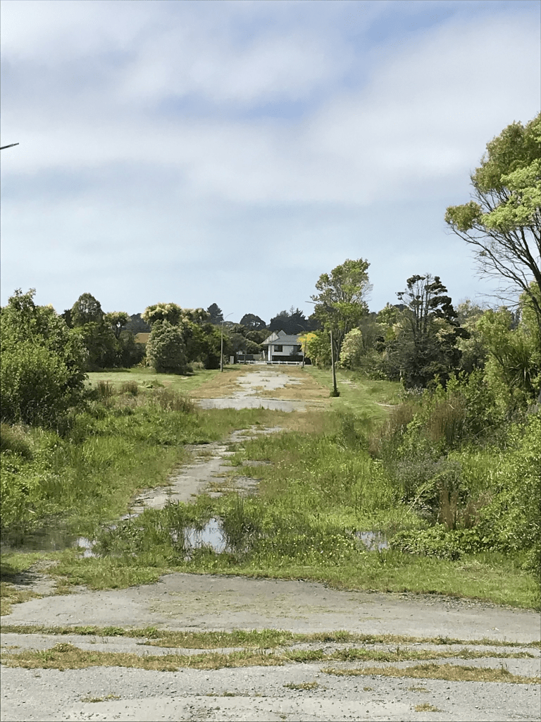
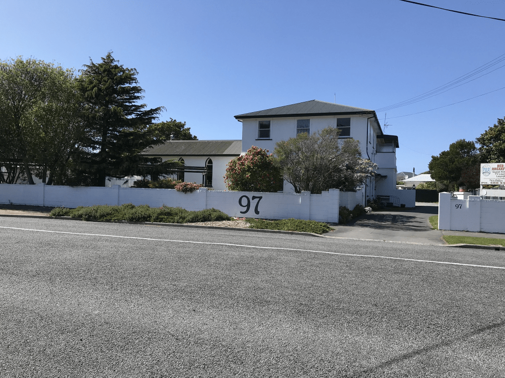
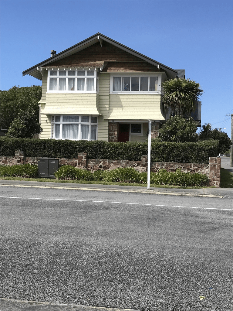
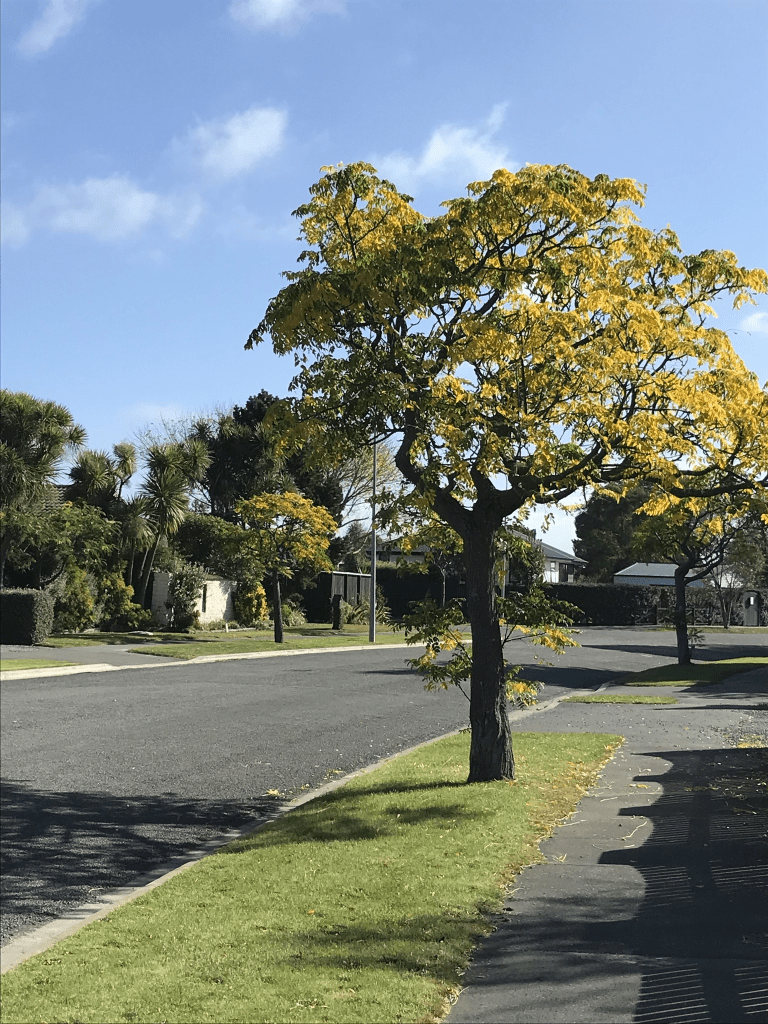
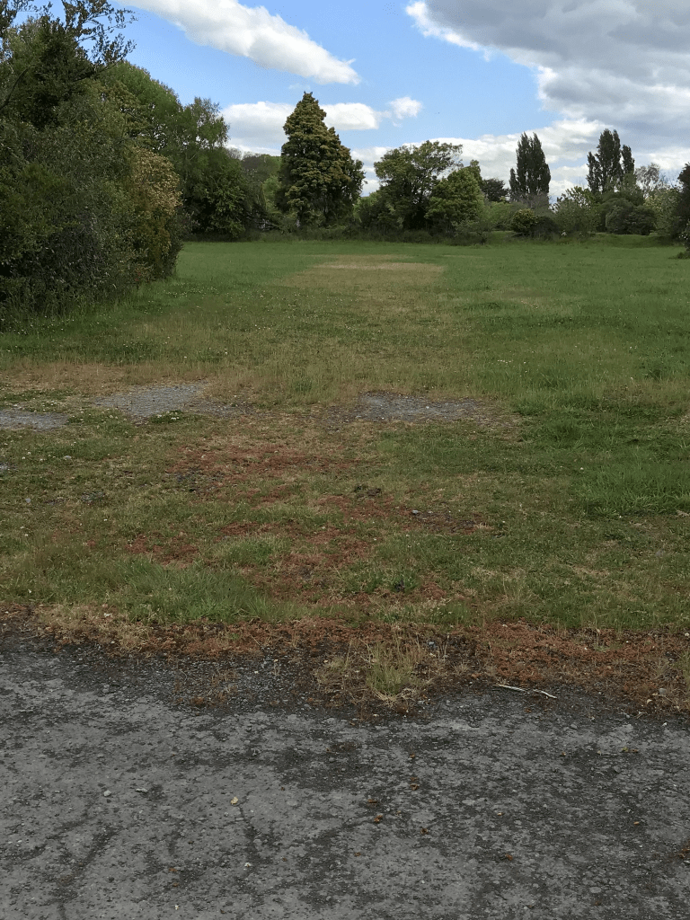
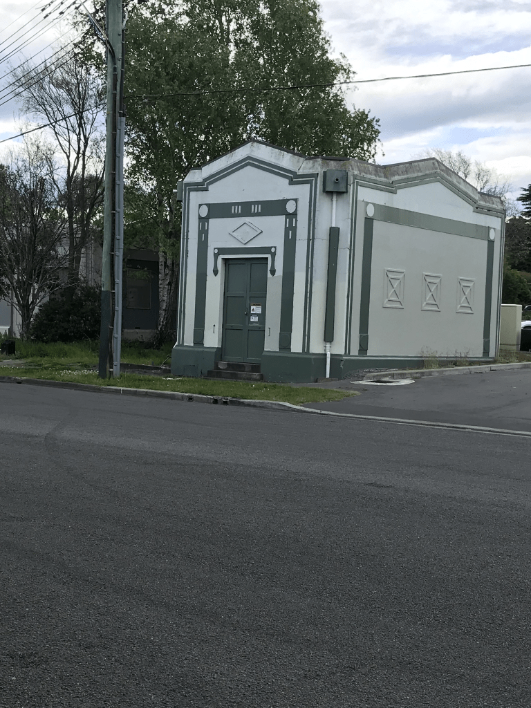
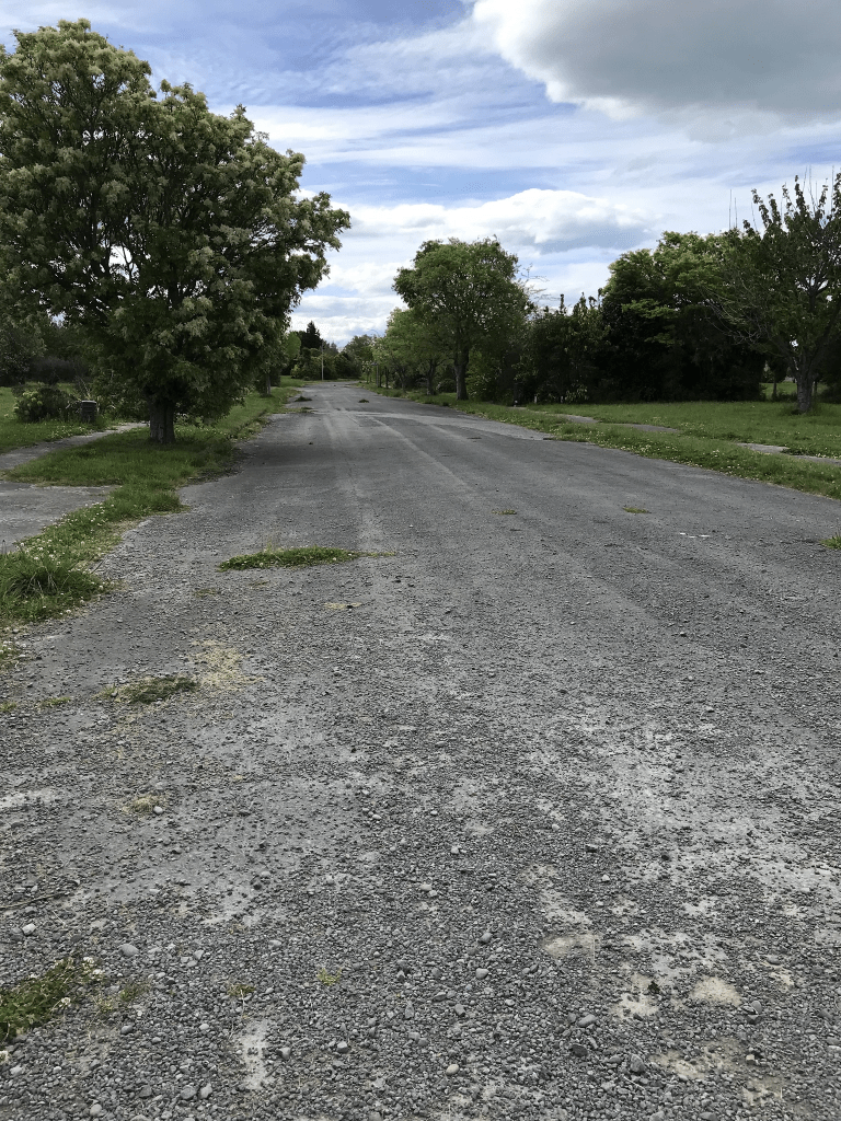
Lonsdale Street in the suburb of New Brighton, Christchurch

Lonsdale St in New Brighton – Probably named after the peerage of Lonsdale. Hugh Lowther, 5th Earl (1857-1944) was the holder of the title at the time the street was named. Formed in 1892. The Star, 8 March 1892, p 3 says “George King & Co. Ltd….has also sold a large number of sections in Lonsdale Street, New Brighton, at prices ranging from £25 to £45. Since a start has been made at the formation of Lonsdale Street quite a rush is going on for these sections…” On 14 May 1892 it is advertised as a “coming street, adjoining the Plantation as it does…” First appears in street directories in 1911 running from Rawson Street to Keppel Street only.

A reasonable of information from the library website. Huge number of entries on Papers Past because of a street with the same name in Melbourne so added New Brighton to the wording. Still a large number of entries. Sections were for sale in 1892 and 1900. Many birth and death notices and found a couple that I research a bit further as they possibly are connected to my family tree. In 1904 an artesian well was sunk for flushing purposes. In 1911 the foundation stone for the new Roman Catholic Church was laid by Bishop Grimes. In 1934 there was a new catholic schoolroom. A small maternity home called Nurse Black’s was mentioned in birth notices from about 1918.

I sidetracked slightly when looking at Papers Past as in 1920 a man shot his wife in what was known as The New Brighton Affair. The woman survived. In 1947 a man was found dead in his home as a result of a fight in Lyttelton.

There wasn’t anything in Papers Past to say how the street got it’s name. I did find a Herbert Lonsdale but he didn’t live or work in New Brighton.

I walked this street a few weeks ago and there is New Brighton Catholic School and St Mary’s Catholic Church. The original church was demolished after the earthquakes and a new one built. Most houses on this street were built in 1970s and 1990s but there was also a large number of houses built between 1890 and 1920. The one built in 1890 is a cute wee cottage. The building that interested me the most was called The Pier Lodge Bed and Breakfast and it used to be called The Pier Lodge and Museum. I couldn’t find the history of the building but it looks like it was a church building at some stage. When walking the street there is a wee kink in it so that it looks like two separate streets

Hood Street in the suburb of New Brighton, Christchurch

Hood St in New Brighton – Formerly Ann Street. May have been named after a member of James George Hawkes’ family. Re-named Hood Street. Named after Viscount Alexander Hood (1724-1814). Ann Street was formed in 1890 but does not appear in street directories. Re-named Hood Street at a special meeting of the New Brighton Council on 12 August 1907. Hood was an admiral in the British navy. Harry Hawker (1868- 1947), a councillor 1905- 1909, had suggested that New Brighton street names be changed to the names of British sea captains who had fought in the 18th and 19th century – a gesture linking Christchurch with the home country, was patriotic and emphasised the fact that New Brighton was a seaside suburb.

A reasonable amount of information from the library website. Couldn’t find any information about Ann St apart from the name change in 1907. I also couldn’t find any information on the ancestry website. In 1914 a new mission hall was mentioned and in 1915 the Presbyterian Hall was mentioned. They were possibly the same building. Lots of birth and death notices but most entries concern sand and sand hills. In 1917 a fence was built at the end of the street for safety reasons but sadly a year later a stranded whale got caught on the fence. In 1960 houses on this street were ordered to be connected to sewage.

I walked this street a few weeks ago and there is an entrance to the Bowling Club on this street and this club was mentioned in Papers Part as early as 1927. Couldn’t see any church hall on the street and I checked street view for 2007 and no hall appeared on this. Houses here cover most decades but many from 1970 and just as many from between 1905 to 1920. A couple stood out for me and one was a cute cottage and the other was a larger wooden villa. I quite liked this street and the many of the houses appealed to me.

Orrick Crescent in the suburb of Avondale, Christchurch

Orrick Cres in Avondale – Named after James Orrick Thompson (1904-1976). Thompson was a seaman, turned builder, of 270 Wainoni Road. He served on the Heathcote County Council 1947-1953. First appears in street directories in 1952. The street was extended through to Hulverstone Drive in the early 1970s. Information supplied in 2008 by Gwendoline Hilda Agassiz in an interview with Richard Greenaway.

A reasonable amount of information from the library website. Not a lot of information on Papers Past. In 1960 it is mentioned that was objections to the land being rezoned from rural to residential. There were sections for sale between 1963 and 1966. More sections for sale in 1970 and 1971 and this would have been when the street was extended as part of the Cedarwood Estate. Several entries between 1973 and 1975 with complaints about heavy trucks using the street. The main issues about the trucks were driving at high speed and dirt falling off the trucks and into properties. James Orrick Thompson was bankrupt in 1963 and discharged from the bankruptcy in 1965. It is amazing how many streets in Christchurch are named after men who went bankrupt. I actually walked this street way back in April and I am a little bit behind in writing up streets. Most houses were built in the 1970s with a few in 1960 and 1980. There is an older house from 1910 but it wasn’t anything startling. When I looked at older street views on google maps there was some sort of church but it is now a community garden for a church group. Just checked my photo and it says Church of Jesus Christ whoever they are. There are no longer any houses at the river end of the street.

Dallington Terrace in the suburb of Dallington, Christchurch

Dallington Tce in Dallington – Continuation of River Road. Named because it runs through the suburb of Dallington which, in turn, was named by Henry Joseph Campbell Jekyll (1844- 1913) after a family estate in Northamptonshire. River Road from Dallington bridge to McBratneys Road was re-named Dallington Terrace by the Waimairi County Council in 1926. First appears in street directories in 1928.

A reasonable amount of information from the library website. In Papers Past there was an entry in 1939 which was a complaint about the state of the road. In 1927 there were several entries about a newborn baby’s body being found on the riverbank. I couldn’t find any entries to show that the baby was identified. Sounds like fish or an animal had nibbled on the body. The residents sounded like an accident prone lot as there were several entries about accidents suffered by residents involving cars and bicycles including at least two deaths. Occasionally cars managed to end up in the river. The houses were only on one side of the street and the river was on the other side. Only 37 houses left on the street with most built between 1940s to 1970s. A couple date from 1915. There are now only houses at the McBratney Rd end of the street and the rest have been demolished and is now part of the red zone. I walked this street on Sunday while doing a geocaching lab adventure.

Bowie Place in the Red Zone of Avonside, Christchurch

Bowie Place in the Avonside red zone and there wasn’t any information on the library website about this street. There was a little bit of information on Papers Past and it was a new street in 1970. It was named after a city councillor C S Bowie. In 1974 it was agreed to build 8 pensioner units on this street and the units would be built by adult apprentices. The apprentices were part of a new scheme and the units were built as part of their 16 week training course. Google maps from 2012 show that the street is blocked off and there are no longer any houses here. It ran off Avonside Drive and I almost missed this tiny street when I walked past it.

Retreat Road in the suburb of Avonside, Christchurch

Retreat Road in Avonside – Named after The Retreat, the property there of Thomas Hichens (1795-1868).Hichens, a gentleman, was living at The Retreat in 1853. He had bought part of Rural Section 90, 50 acres on the “South Bank River Avon, near Slaughterhouse Road” (later Woodham Road and Mile Road), land which had earlier been selected by A. P. Perceval. By 1863, John Gwalter Palairet (1798-1878) had bought the property. He is listed in the Avon electoral roll for 1863 as living at The Retreat, Avonside. Retreat Road first appears in the Star in 1877 in a report of a meeting of the Heathcote Road Board.

A reasonable amount of information from the library website. Papers Past had a huge number of death notices. In 1880 the road board called for tenders for forming the road. In 1894 there was a complaint about the state of the road and the issue was gorse on the road. Three landowners were ordered to clear the gorse on their properties. Thomas and his wife lived at a property called Penavon but don’t know if this house was on Retreat Rd.

There are now only 28 houses on this street and many are wooden villas from the 1920s. The rest of the street is now in the red zone. I had a memory of visiting a scout shop on this street when I was a cub leader back in the 1990s. I checked street view from 2007 and the scout shop was near the river and has now been demolished. Many of the houses that used to be on this street looked like 1920s villas and a couple looked like they would have been lovely. It looks like only about 20% of the houses on this street survived the earthquakes.

Highbury Place in the suburb of Avonside, Christchurch

Highbury Place in Avonside – Formerly Baxter Place. Named after George Lionel Baxter (1872-1955). Re-named Highbury Place. Named after Highbury, a place in the London Borough of Islington. Baxter, an orchardist, was living at 84 Retreat Road in 1943. The street was formed on land in between 80 and 86 Retreat Road. Baxter Place appears in street directories in 1947. Re-named Highbury Place in 1948

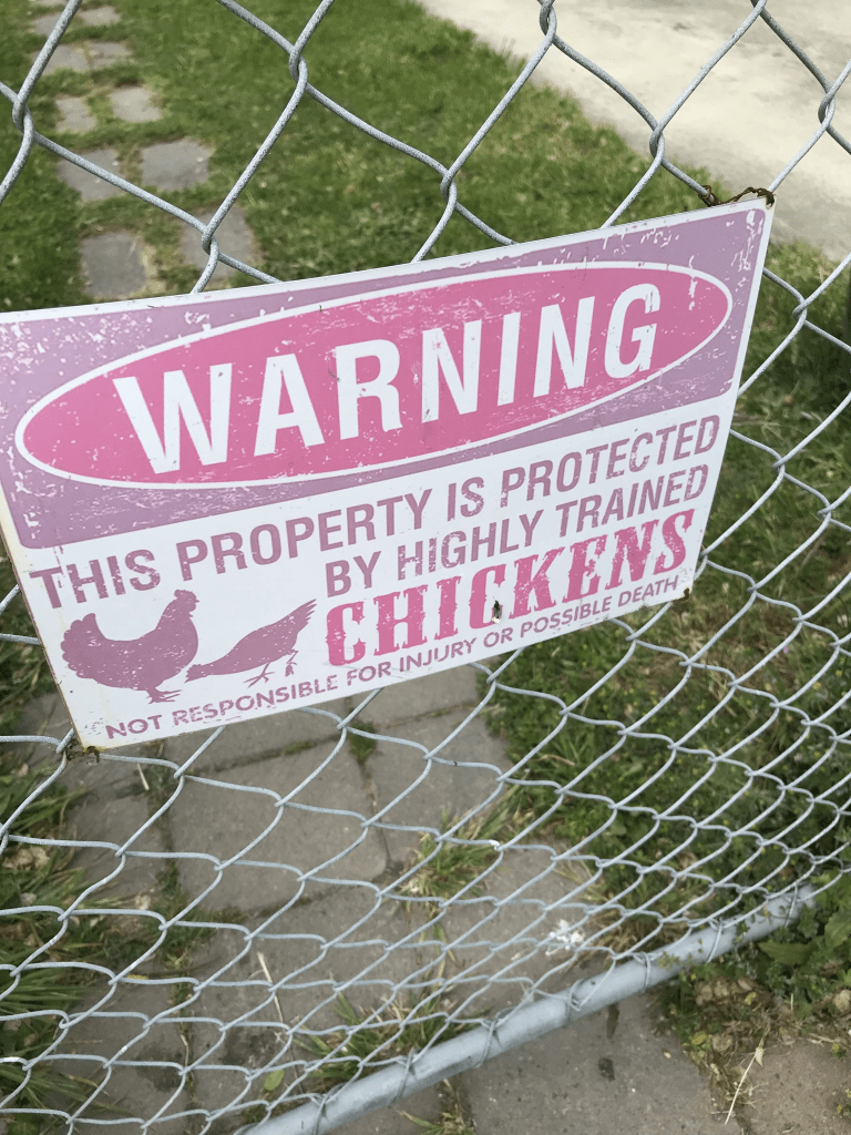
A small amount of information from the library website. Not much information on Papers Past apart from a few death notices. George Baxter was still living at 84 Retreat Rd when he died in 1955. He collapsed while playing billiards and died. He was aged 83. Most of the houses here were built in the 1940s and they had a state house look about them but didn’t find anything on Papers Past to prove this. None of the houses stood out for me but I did like the house which had a notice about guard chickens. The house was ordinary looking but the garden had many quirky things in it. I detoured while walking back to where I had left my car.

Silverdale Place in the Red Zone of Avonside, Christchurch

Silverdale Place in the red zone of Avonside – Named on 19 September 1962. [Earlier, in February 1962, the name of Marcel Place had been approved.] Information on date of naming in a letter sent to the City Librarian from the Town Clerk dated 9 October 1962.

A small amount of information from the library website and I found the same information about the street names on Papers Past but couldn’t find a reason for the change in name. In 1962 sections were available and I was amused by the wording in the ads. The sections were described as lovely high, dry and sunny sections. The other entries were mostly death notices. Street view on google maps was from 2012 and the houses near Retread Rd end didn’t look too bad but the ones nearer the river were munted. Obviously there are no longer any houses here and I made a slight detour when walking back to my car to walk this street.

Halley Place in the Red Zone of Avonside, Christchurch

Halley Place in red zone of Avonside – Named after Kevin Noel Halley (1929- 1996).Halley was a Justice of the Peace and friend and workmate of the Ryan family. Named by Mary Catherine Ryan (1892- 1978), wife of William Nicholas Ryan (1885- 1950), a contractor. First appears in street directories in 1977. Information supplied in 2008 by Jack Ryan, in a letter to Margaret Harper.

A reasonable amount of information from the library website and not a lot that I can add to it. Very little information on Papers Past and in 1972 there were 13 sections available with houses to be built by Fletcher Construction Company. In 1973 the ads were saying that there were a variety of prestige buildings available. The only street view that I could find on google maps was from 2012 and many of the houses had already been demolished. A couple looked like they still had people living in them. Obviously there are no longer any houses here and I walked here yesterday while walking back to my car after doing a geocaching lab adventure.

Glade Avenue in the suburb of Richmond, Christchurch

Glade Ave in Richmond- Avon Glade Road and Avonglade Street. Named after Avon Glade, a house in Stanmore Road. Avon Glade Road is first mentioned in The Press in 1878 when land is advertised for sale there. Re-named Glade Avenue on 24 May 1926 when 21 streets were re-named.

A small amount of information from the library website. Not as much information on Papers Past as I expected. I didn’t find any entries for Avonglade St or even Avon Glade St. The only time Avon Glade Road was used was for the ads in 1878 when sections were available for sale. A few birth and death notices. A house called Richmond Villa is mentioned in 1890s and Mr Crichton’s residence Riversleigh is mentioned a few times. Locals will know Crichton Cobbers and Wilfred Crichton is probably connected to the same family. In 1934 the council dump on the corner of Stanmore Rd and Avon Glade was converted to a residential site. Interesting that it was called Avon Glade as the name of the street was changed Glade Ave in 1926. Under Glade Ave most entries on Papers Past were ads for a company called Waddell Construction.

I couldn’t find any information about a house called Avon Glade but it was possibly the home of Daniel and Fannie Ward. Daniel was an engineer for the Provincial Government but there isn’t any entries for him after 1877 and sections were available in 1878. I couldn’t find much information on the ancestry website but the family eventually were living in Melbourne. One of their sons drowned in 1874.

There are still a few houses near the Stanmore Rd end of the street. There are three or four built in 2019 and a couple built in 1970s. The cottage from 1910 looks very sad but the villa from 1920 looks OK. The house from 1930s looks very rundown and I thought it would have been because of the earthquakes but looking at street view from 2007 it was looking just as rundown then. Most of the street is red zoned and there was one really lovely house in 2007 but it has been demolished.