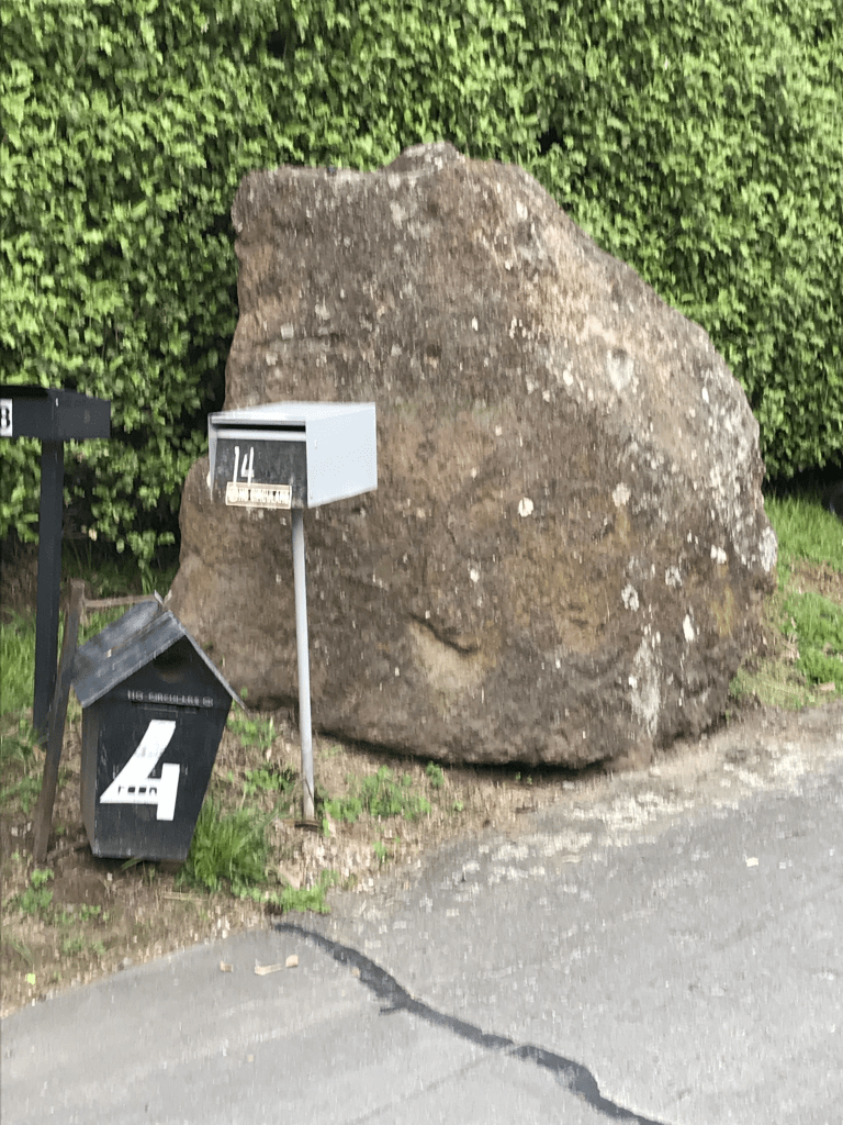
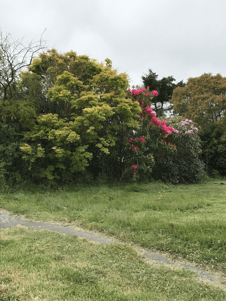
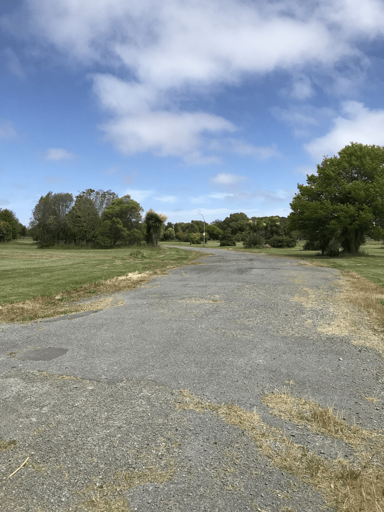
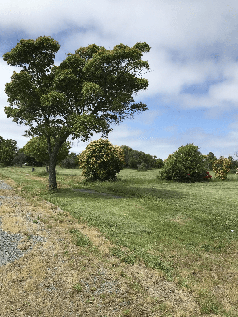
Red Rock Lane in Moncks Bay – Named because the street is on the site of the old quarry from which the red rock, readily seen in Sumner and Redcliffs, was extracted. A right-of-way named in 2003.
A small amount of information from the library website.
There is supposed to be 15 houses here but I couldn’t see that many. I didn’t actually walk this street as it just looked like a driveway to a couple of houses plus there wasn’t a footpath. I should have realised that there were more houses from all the letterboxes at the entrance to the lane. There is a big lump of red rock next to the letterboxes.
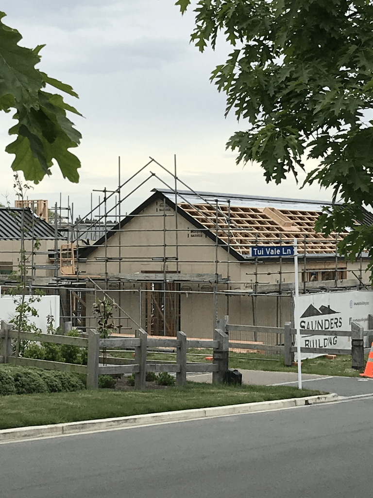
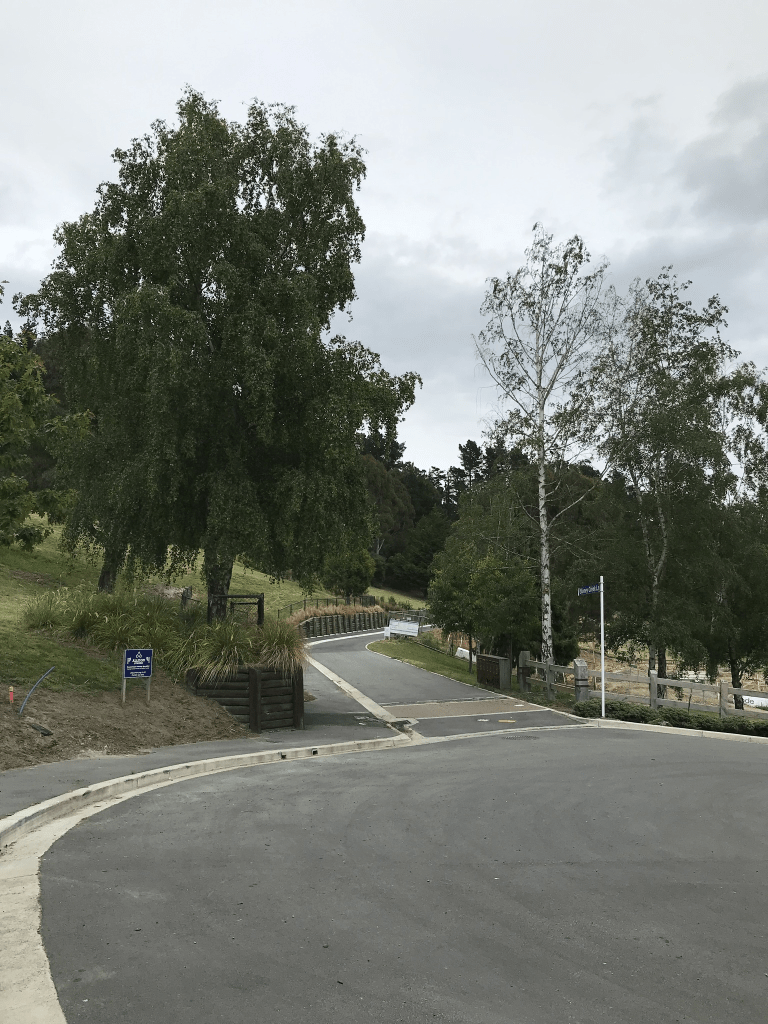
Tui Vale Lane in Halswell and it is too new for the library website. The street is part of the boutique new Stoneridge subdivision at 823 Cashmere Road. There are 7 sections here and just to be confusing google maps have the street as Tui Vale Rise but signpost and the developer’s noticeboard has the street as Tui Vale Lane.
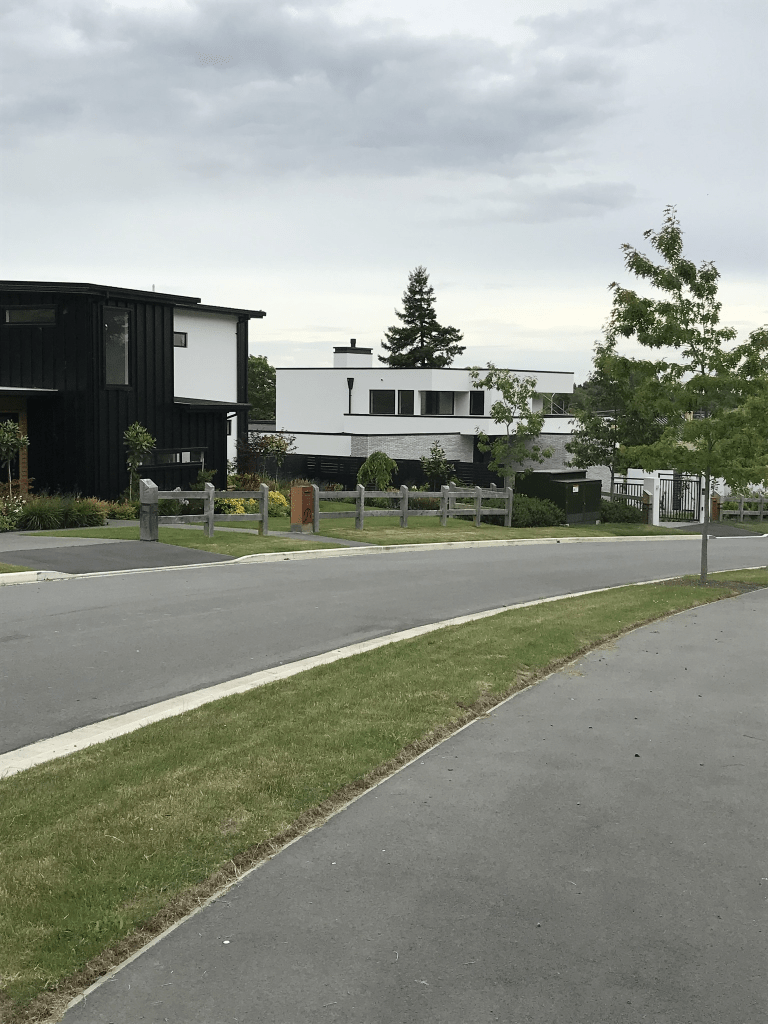
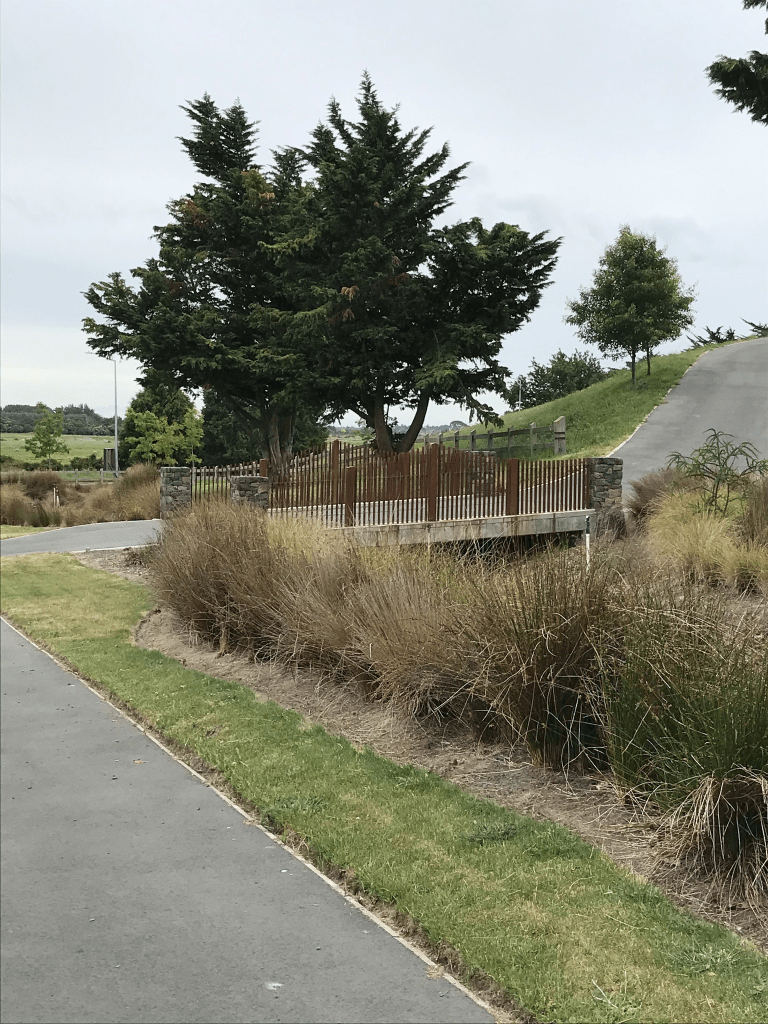
Saddle Vale Rise in Halswell and it is too new to be on the library website, It is part of the new Stoneridge Down boutique subdivision. There are two houses here that look like they are finished being built and they are interesting designs. I couldn’t decide if I liked them or not. Seriously well beyond my budget. At the end of this street is a small reserve with a picnic table and a walkway. I was geocaching in the area. I continued along the walkway and it ended up on a private driveway with several keep out and private property signs. The driveway seemed to lead to a house that possibly is the original house for 823 Cashmere Rd going by google maps.
Kepler Ridge Lane in Halswell and it is too new to be on the library website. It will be named after the Kepler Mountains and Track and the street is in the new Stoneridge Down subdivision at 823 Cashmere Road. I couldn’t find out how sections will be here and at least one house looks like it is nearly finished being built. This subdivision is described as boutique and trophy countryside which always means expensive.
Stoney Creek Lane in Halswell and it is too new to be on the library website. There are 8 sections here and it is part of Stoneridge Down which is a new subdivision at 823 Cashmere Rd. The ads use words like boutique and trophy countryside. In other words expensive.
Sharlick St in the red zone of Avondale – Named after Martin Sharlick (1866-1944). Sharlick was a farmer of Marshland Road. He worked with Reginald Gordon Vivian Muirson (1913-1990), a builder. First appears in street directories in 1960. Information researched during the 1970s by Guy Bliss, a teacher and local historian.
A small amount of information from the library website and I am not sure that all of the information is correct but I could be wrong. Martin Sharlick was a farmer and would have been in his late 60s when Reg Muirson was starting out in business. Martin Sharlick’s grandson was a carpenter and he also lived at 10 Sharlick St. Their real surname was Szaluga and the ancestry website family trees give a couple of place for his birth. Either Prussia or Bavaria and as Prussia was in the north I think that this is more likely. Not a lot of information on Papers Past apart from houses for sale in the 1960s.
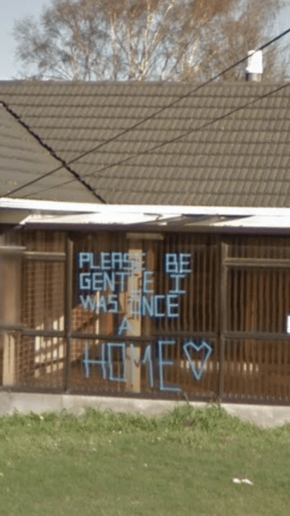
Street view from 2007 shows an ordinary looking street and street view from 2012 show that only a couple of houses were looking as if they were occupied. There was one very sad house which was obviously in line to be demolished and the owner had written on the front of the house Please be gentle as it was once a home. I took a screenshot of this. Obviously there are no longer any houses here.
Edna St in the red zone of Avondale – Named after Edna May Muirson (1913-1986). Edna Muirson was the wife of Reginald Gordon Vivian Muirson (1913-1990), a builder. First appears in street directories in 1962. Information researched during the 1970s by Guy Bliss, a teacher and local historian. The Muirson’s dates supplied in 2008 by Marie Shears, formerly Woolley.
A reasonable amount of information from the library website. The ancestry website family trees all have Edna as private which normally means the person is still alive but she obviously isn’t still alive. Papers Past had several ads for the sale of sections and the street was described as running off Avonside Drive extension. A few death notices ad engagement notices. In 1966 a 13 year old girl getting off the bus at 11pm was attacked by a man who attempted to indecently assault her. The saddest was a 16 month old boy who drowned in the river. He is likely to have been related to the Muirson family. In July 1977 there was a huge storm in Christchurch which was described as the worst since the Wahine storm. This street being close to the river had flooding issues along with every other street near the two rivers in Christchurch. The troops were called in to help. Reginald Muirson had a business called Reg Muirson Homes so he probably built most of the houses in the street. His business partner was a J Woolley.
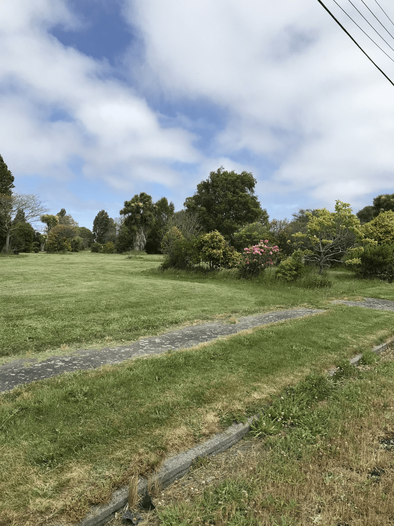
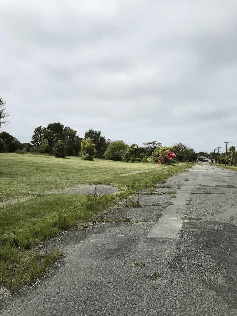
Street view on google maps for 2007 shows an ordinary looking street with nothing outstanding. Many of the houses were still standing in 2012 but it didn’t look like anyone was still living in them. No longer any houses here and it is in the red zone.
Cardrona St in the red zone of Avondale – Probably named after the Cardrona River near Peebles, Scotland. Named in 1955.
A tiny amount of information but the library website and as the rest of the streets nearby are named after places in Scotland this is probably correct. The mention in 1955 about naming the street doesn’t mention why. In 1960s there are a few houses for sale but the majority would have built in the 1970s. In 1971 the company Merritt Beazley was selling 41 sections and they would have built the houses as well. Not much more information on Papers Past. Street view from 2007 showed a pleasant but ordinary looking street. There was also a hotel called Cardrona on Avon on the corner of Cardrona St and Breezes Rd. Street view for 2012 show most houses still standing but they weren’t looking good. There are no longer any houses here but you can still see where there used to be gardens.
Ardrossan St in the red zone of Avondale – Named after Ardrossan, a town on the North Ayrshire coast in western Scotland. Named on 15 December 1969, the same day as neighbouring Alloway Street. First appears in street directories in 1977. Information on date of naming in a letter sent to the City Librarian from the Town Clerk dated 24 March 1970.
A small amount of information from the library website. Not many entries on Papers Past. In 1974 the work on the subdivision was delayed because of bad weather. In 1975 there were 23 sections of the drainage board land sold at auction and by 1978 and 1979 there were ads for the sale of houses. Street view on google maps in 2007 showed a pleasant street with mostly typical 1970s style of houses but a couple I quite liked. Street view for 2012 showed that most houses were still standing but only a few looked like they still had people living in them. The road was a mess and I was surprised that the google car was able to drive down it. There are no longer any houses here and it is in the red zone.
Alloway St in the red zone of Avondale – Named after Alloway, a former Scottish village that is now a suburb of Ayr. Named on 15 December 1969, the same day as neighbouring Ardrossan Street. First appears in street directories in 1976. Information on date of naming in a letter sent to the City Librarian from the Town Clerk dated 24 March 1970.
A small amount of information on the library website and nothing that I can add about the name of the street. Interesting that the street was named in 1969 as I didn’t find that information on Papers Past. I did find in May 1973 mention of 27 sections being sold by public auction. The land was originally drainage board land and the article was a reply by the Chairman of the Drainage Board Mr M R Carter to a complaint by T McGuigan MP for Lyttelton about how much the sections were sold for. In 1974 and 1975 there were houses and ownership flats for sale. Ownership flats were a big thing in the 1970s. On a death notice for the street I recognised a surname from Lyttelton. Google maps in 2007 street view showed a very ordinary looking street and in 2012 most houses were still standing but many were looking damaged. No longer any houses here and the street is in the red zone.