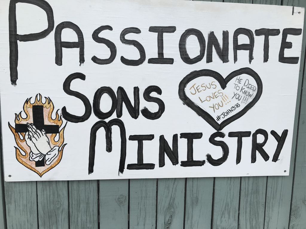
Fenhall Street in Russley and this street isn’t on the library website. It is surprising as most houses were built in the 1960s with a few houses from 1970s and 1990s. Not a lot of information on Papers Past and the builder of the houses on this street was a company called R G Mauger. The name of the street is possibly from a place near Lanchester in the UK. The street runs from Bentley St and ends at the back entrance to the Airport Business Park. The houses were typical 1960s style and none stood out for me. Parking would be terrible here because of the business park yet there were signs saying 60 minute parking only. These signs are obviously ignored as cars were parked bumper to bumper here. One house had a weird religious sign on it and that would also put me off from living on this street.
Glenarm Tce in Dallington – formerly Landsdowne Terrace. Named after the Glenarm Kennels which, in turn, were named after Glenarm Castle, the ancestral home of the Earls of Antrim in Northern Ireland. Landsdowne Terrace is first mentioned in The Press in 1892 when land for sale there is advertised. First appears in street directories in 1903. Re-named Glenarm Terrace in June 1948 when 24 streets in the Waimairi County were re-named. Hiram Hunter (1874-1966), a labourer, teamster, trade unionist and local politician, bred dogs at the Glenarm Kennels. They were on his land on the eastern side of, and towards, the river end of Gayhurst Road.
A reasonable amount of information from the library website. Researching this street was frustrating as information on Papers Past was limited. As Landsdowne Tce there was a subdivision in 1892. There was at least one large property on the corner of Landsdowne Tce and Gayhurst Rd which had an orchard and grew vegetables including asparagus. It is possibly the same property called Groveley which was owned by William Andrews. William Andrews subdivided part of his property in 1912 and after his death in 1927 the property was sold and subdivided. William Andrews was one of the first engineers in New Zealand and he started the company Andrews and Beaven. Between 1920s and 1940s dairy cows and pigs are mentioned occasionally. In 1933 there were charges laid against three Chinese for smoking opium. I couldn’t find any mention of Glenarm Kennels. Edited as I have now found mention of Glenarm Kennels but only after the 1949 and the address for the kennels was 42 Gayhurst Rd which was Hiram Hunter address. There was a huge amount of information about Hiram Hunter on Papers Past. I did find two properties called Glenarm but one was in Sumner and the other was in Upper Riccarton. In the 1950s and 1960s on Glenarm Tce there was a property called Boxer Lodge and that person bred boxers. It wasn’t Hiram Hunter. In 1950 an old house was removed so that work on the riverbank could be done.
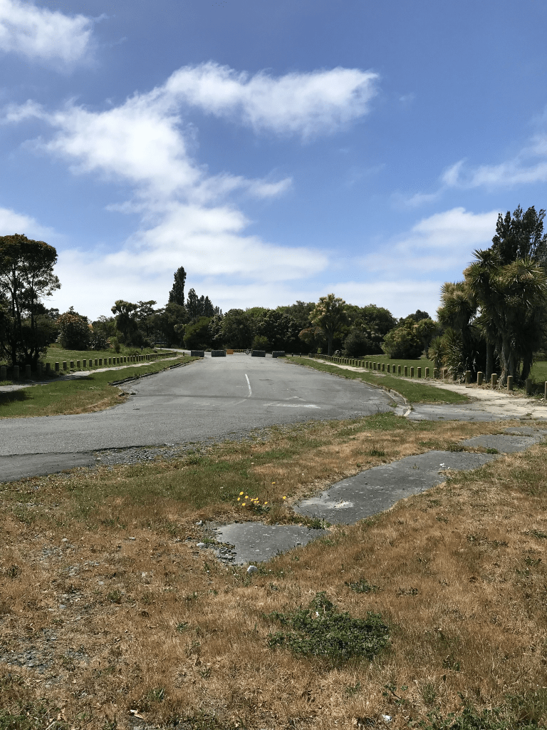
I actually walked this street nearly three weeks ago when I was geocaching in the area. There are no longer any houses here as it is in the red zone. There is a new bridge over the river at the end of the street. There is a sign in front of what used to be someone’s garden saying that 5 generations of the Nankivell and Ozanne families lived on the street. I checked electoral rolls and couldn’t find anyone with the surname Nankivell living on this street but they were on Breezes Rd and Gayhurst Rd. I did find a Florence Ozanne living here. It was probably a pleasant street before the earthquakes.
Cliff St – A short road off Main Road, running into the cliff face at Monck’s Bay. First appears in street directories in 1910. A small amount of information from the library website and nothing that I can add about the name of the street.
A few mentions in Papers Past and in 1905 the council discussed calverts for the street. In 1913 and 1919 there were sections for sale. Also in 1913 there was an artistic bungalow for sale. In 1922 the issue of flooding was discussed yet in 1919 residents objected to underground drains. In 1925 a subdivision was declined by the council but in 1944 another subdivision was eventually approved after objections from some of the locals. Scrub fires were obviously a danger and there were two fires in the 1930s. I was interested to see that the was a house called Clontarf for sale in 1926. The Clontarf was a ship that bought immigrants to New Zealand including some of my ancestors.
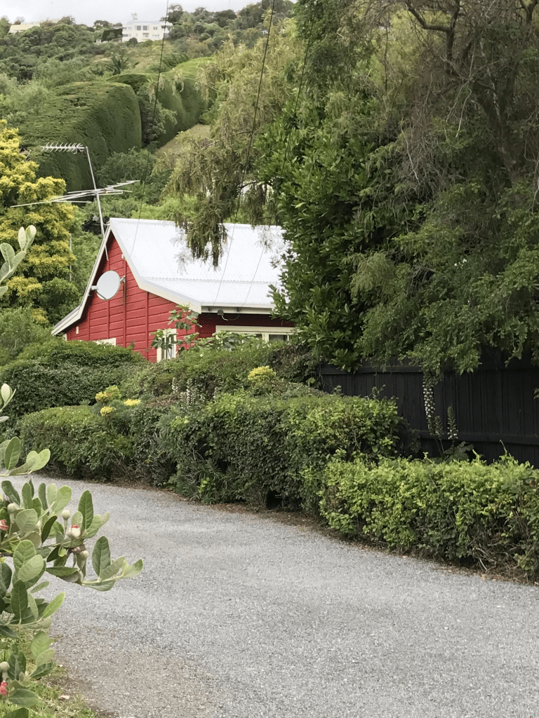
This street runs from the main road to the cliffs and the two houses that would have been closest to the cliffs have been demolished. There is now a brand new street being developed at the end of Cliff St. There are only 10 properties here and most were built in the 1910s and 1920s. There are about three very modern ugly houses. This is an area that would have been affected badly by the earthquakes which is why I was surprised to see the older houses still standing. They are wooden houses which did make a difference in many cases.
Wakatu Ave in Moncks Bay – Formerly Pratt Street. Named after Frederick Pratt (1861-1925). Re-named Wakatu Avenue.Pratt, a lawyer, was elected to the Sumner Borough Council on 24 April 1901 and was mayor of Sumner May 1905-February 1906. His obituary says “he would be remembered as one of the most public-spirited and generous residents who have ever worked for the benefit of the district”. He lived in Nayland Street. Pratt Street is first mentioned in the Star in 1905 when a property is advertised for sale there. First appears in street directories in 1910. Re-named Wakatu Avenue on 1 September 1948 when 120 streets were re-named.
A reasonable amount of information from the library website. Reason for the name change was that there was a Pratt St in North New Brighton. There was at least one letter to the editor complaining about the name change. There was a big amalgamation of councils which is why so many street name changes in 1948.
Because of the number of entries in Papers Past I limited my search to Pratt St Redcliffs so possibly missed some entries. In 1919 there was talk about building a seawall and that was likely the result of the huge high tide flooding in 1918. Flooding continued to be a problem in the following decades. There was at least one case of polio on the street in 1925. The stone tram shelter was nearing completion in 1934 and anyone doing the nearby multi geocache take notice of that date. Lots of death notices plus a few birth notices. In 1950s and 1960s there were lots of complaints about the state of the road plus the traffic. This street and nearby streets had a huge problem when there were sailing regattas on at the nearby yacht club. There had been a rifle range used by the army near both Bay View Rd and Wakatu Ave but this was closed in 1947. In 1951 the army wanted to do tank training on this land but the locals protested. There was an issue with drainage on this land which caused flooding on nearby streets. The locals wanted either a park or a reserve on the land.
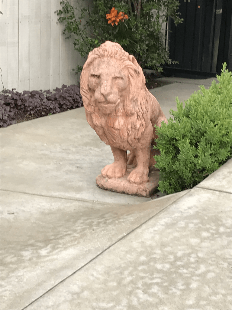
I was surprised that there are 82 houses on this street as when I walked it the other evening I wouldn’t have expected this number of houses. I looked at google maps and there are a lot of houses on back sections. The houses cover every decade from 1910 onwards with a big cluster built in 1970s. A large number were built between 1910 and 1925 and many are still lovely places. There is one 1910 cottage that has been ruined by the way the has been modernised. My friends will be shocked but I actually quite liked a couple of modern houses. I quite liked the street and yes I did say hello to the the large lion statue that was beside a driveway. If anyone actually sees me when I am walking the streets yes I do make comments about the houses that I see. So if you see an older woman stop and say that is gorgeous or god that is so ugly I am actually quite harmless.
Bay View Rd in Moncks Bay – Named because this road gives a view of Moncks Bay. Formed in 1904. Bay View Road is first mentioned in The Press in 1905. First appears in street directories in 1910. Re-named Bayview Road in 1970.
A small amount of information from the library website and the street hasn’t been renamed. It is still Bay View Rd and not Bayview Rd.
The ads for sections in 1905 said it was the third subdivision of the Monck Estate and 64 sections were available. A huge amount of entries in Papers Past and it wasn’t helped by many other towns having streets with the same name including Dunedin, Napier and Nelson plus local places like Cass Bay and Charteris Bay. Lots of death notices. Several complaints about the condition of the road in the 1920s and 1930s plus gas mains issues in the 1930s. Over the years extra high tides caused flooding in the street and the flood in 1918 sounded particularly bad. There were also floods in 1930, 1936, 1941and 1947. The storm in August 1975 caused slips in this street which damaged houses and garages. I remember this storm and I was living and working in Lyttelton. I walked this street on Tuesday evening and I liked the street. There are a few modern houses but there are still a large number of houses from 1910s and 1920s. The years of the1950s and 1990s saw a large number of houses built. There was one modern house that I actually liked. At the end of the street is an entrance to Barnett Park. If it wasn’t for the fact that I prefer living close to the central city I would look at living in this area.
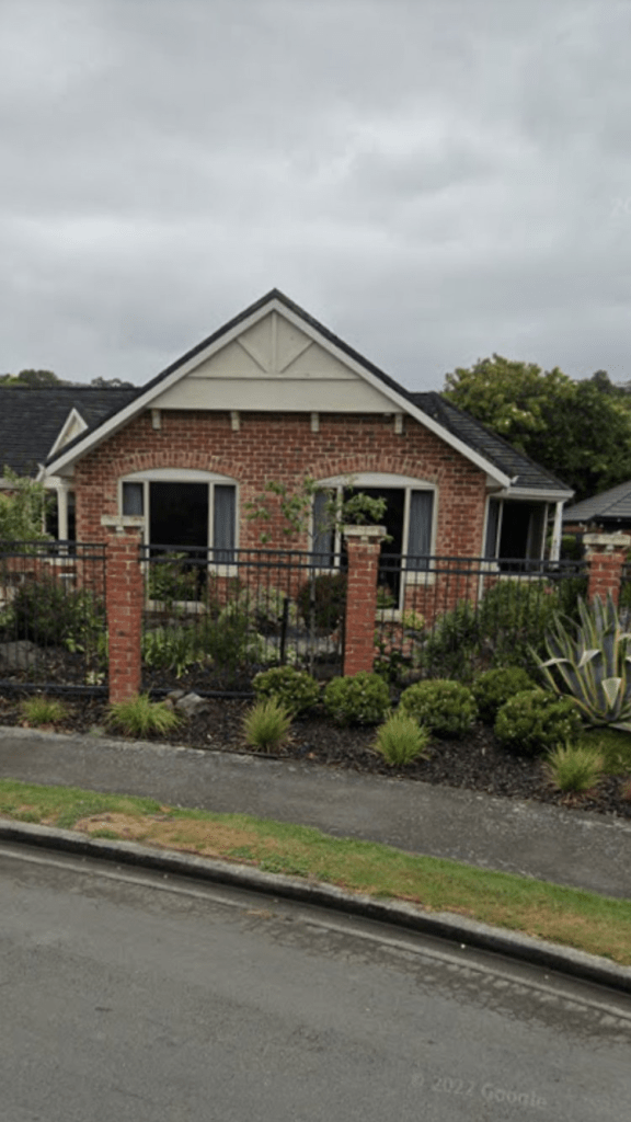
Croftfield Place in Westmorland and nothing on the library website. There are 11 large houses here all built in 1990s and a couple I quite liked especially one of the brick houses. A couple of ugly houses but the rest were fairly ordinary looking. There is an entrance to Willow Dell Reserve from this street. It is possibly part of the Oberg subdivision but couldn’t find out any information. If you go with the pure meaning of croft the street is actually fieldfield.
Oberg Lane in Westmorland – Named after Hector Percival “Percy” Oberg and his wife, Barbara Helen Oberg. The Obergs bought their land on 26 March 1981 and the subdivision plan which created Oberg Lane was deposited on 14 February 1994. Information supplied in 2012 by Bob Pritchard, subdivisions officer, Christchurch City Council.
A small amount of information from the library website. There were a few entries for Percy on Papers Past as he owned a company. He was born in July 1927 and died in July 2018. Only 13 houses here and they were built in the 1990s. There were some nice houses here but I didn’t manage to get any photos. Another private lane but there was a footpath. The nearby Willow Dell which isn’t on the library website will have been part of the same subdivision.
Willow Dell in Westmorland. Nothing on the library website yet the houses all date from 1990s. It is possibly because it is a private lane yet other private lanes are mentioned on the library website. There wasn’t a footpath but there is a walkway next to the street. There is a nice wee reserve called Willow Dell Reserve and yes I was geocaching in the area. A couple of nice houses but nothing stood out for me but I did like the reserve.
Emily Heights in Moncks Bay. Nothing on library website but this street would be too new. It is on google maps but no street view as there was a very clear locked gate preventing access. I didn’t actually walk this street for the same reason. A website called housenode claims there are 11 houses here but QV website doesn’t have this street on their website. It looks like the street has been developed at the back of 14 Cliff St. My best guess for the name is that it is connected to the developer or the owner of 14 Cliff St.
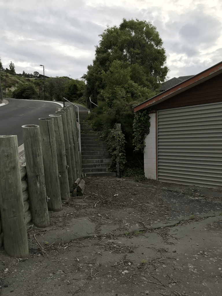
This is a copy and paste of what I wrote in February 2021 and there is no longer a gate blocking the road. At the start of the road there isn’t a footpath but you go up some steps that look like they are on private property. Worked out that the garage next to the steps belong to a demolished house on Cliff St. The road is fairly steep and you get fantastic views from the top. There seem to be only a couple of unfinished houses on this street when I walked up it last night.
Moncks Bay Lane in Moncks Bay – nothing on library website for this street and it is obvious how it got it’s name. There wasn’t anything on Papers Past yet there are houses here dating from 1960s and 1970s plus there is an ugly modern house. I didn’t actually walk this street as is just looked like a driveway to a couple of houses yet there is supposed to be 12 houses here.