Vickerys Road in the suburb of Wigram, Christchurch

Vickerys Road in Wigram – formerly Vickery’s Road. Named after John Vickery (1815?- 1893). Vickery emigrated, under engagement to John Shand, on the Isabella Hercus in 1851. He became a land owner and farmer at Riccarton and Sockburn. He died at his property, Hendley Farm, Upper Riccarton. Tenders were invited by the Spreydon Road Boad for the formation of Vickery’s Road in 1875. Information supplied in 2008 by a descendant, Joan Parke of Sydenham, in an interview with Richard Greenaway.

A reasonable of information from the library website. Considering how old this street is I was surprised at how little information there was on Papers Past. In 1887 there was a complaint about a stagnant water hole in the street. In 1896 a drain was cut in the road. Fast forward to 1961 and this street was flooded along with nearby streets. There was an interesting letter to the editor from J M Smalley who said that he had lived in the area for 74 years. He blamed the flooding on the new bridge and that the engineers had ignored the two old natural water courses in the area when they built the bridge. The street is frequently mentioned in connection with Lady Wigram races as part of the street is closed off during the races. In 1976 a new factory owned by J G Rutherford was opened by Robert Muldoon.

I got slightly sidetracked when researching this street as John Vickery’s will was contested by one of his daughters. It got very messy. John had 10 children but by the time of his death only his wife and the two youngest sons were on speaking terms with him.

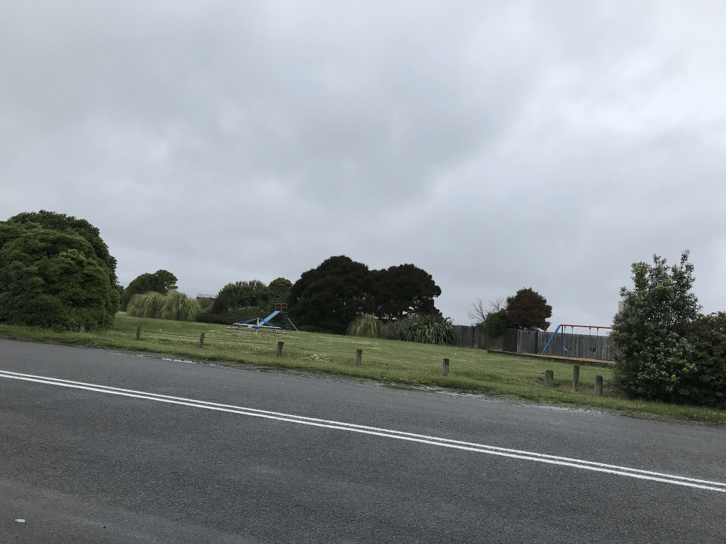
This street is half residential and half industrial plus it borders Wigram Airforce Base. The industrial part includes a crematorium. There isn’t a footpath in the industrial part of the street but I was able to walk on the grass verge. Lots of big trucks parked here. The houses in the residential part range from being built in 1910 through to 2020. There were several houses dating between 1910 and 1930 and a couple looked quite nice but most were looking rundown. Many of the houses were on huge sections. I would just like to state that I would not like to live on this street and it is to do with the occupants of one of the houses. It was one of the houses dating from 1910 and is probably in reasonable condition. It had high fences and security cameras. I was tempted to wave at the security cameras but that probably wouldn’t have been a good idea.

Symes Road in the suburb of Wigram, Christchurch

Symes Road in Wigram – First appears in street directories in 1957. A tiny amount of information from the library website. The street has been around a lot longer than the 1950s. In the 1920s it was known as Syme’s Rd but I couldn’t find out who Syme was and it was a fairly common surname. From 1930s onwards the apostrophe has disappeared. In 1930 there was a property for sale belonging to A E Collins. In 1944 a racehorse owner Bob Franks was selling his property. In 1960 the new overbridge is built and in 1961 there was flooding and this bridge was blamed. The residents said that the earthworks involved in building the bridge meant that water was directed towards their houses. The council and the drainage board blamed each other but in 1962 there was work to fix the problem.

This was a busy road when the Lady Wigram race was held as one of the entrances was on this street. It would have been noisy being so close to the track as I lived in Hoon Hay those days and I could hear the cars at my place. I was geocaching in the area today and it was only light rain at the time so went for a short walk. The street starts at Vickerys Rd and at this end is Vickerys Reserve and playground. On the same side of the street there are several businesses. The houses on the other side side of the street date from 1930 through to 2020. One of the older houses had a garage built right in front of it so that you couldn’t it properly but it looked almost like a 1920s wooden villa. Another house at the Haytons Rd end was a mess and looks like a hoarder lives there. Personally I wouldn’t like to live here but some of the houses looked OK.

Paradyne Place in the suburb of Wigram, Christchurch

Paradyne Place in Wigram and it isn’t on the library website. I did find a mention on Papers Past and I did have a wee laugh. In 1977 there was an article about suggested names for a new street in an industrial subdivision owned by J G Rutherford and Toledo Holdings Ltd. The names of Carlin Place and Harvard Place had already been rejected. The short list of suggested names were Plastics Place, Paradyne Place, Generator Place, Generation Place and Industries Place. Obviously Paradyne Place was successful and paradyne was a liquid fuel additive. I was amused by the councillor who suggested that the street be called Generation Gap.

It is still an industrial area and I ended up having a brief chat with one of the business owners. I did ask him about his car number plate and he is a huge David Bowie fan which was the reason for the personalised number plate.

Like

Comment

Share

McClintock Lane in the suburb of Sockburn, Christchurch

McClintock Lane in Sockburn – Named after Brother James Ignatius McClintock (1910-1985) Brother McClintock was foundation principal of St Thomas of Canterbury College 1961-1966.

Formed on land purchased from the school. Named in 2003.

A small amount of information from the library website for a tiny street. There are apparently 7 houses here all built in 2005 but I didn’t walk this wee street. There wasn’t a footpath and I wouldn’t have been comfortable walking it. To walk it you would have been practically in the houses front gardens and the lane was like a narrow driveway.

Takaro Avenue in the suburb of Sockburn, Christchurch

Takaro Ave in Sockburn and another street that isn’t on the library website. Takaro means either play or sport and I suspect the name is because of it being so close to Sockburn Park. In 1976 there was discussion about building 22 pensioner units and in 1978 and 1979 the units were available for occupation. The units are still there and they are on Takaro Ave but are known as Greenhurst Court. The units are at the Greenhurst St end of Takaro Ave. The rest of the houses in the street were built in 1980s and 1990s. The Sockburn Park Recreation Centre is mentioned as being at the rear of the Sockburn Park swimming pool. The swimming pool which is no longer there was built in an old quarry. A couple of houses that I quite liked. I was amused to see that the Hoon Hay Squash Club is in the Recreation Centre as it is a long way from Hoon Hay. It was a busy street yesterday as someone had a huge Christmas party and the footpath was blocked by cars being parked on the footpath. Luckily there was a footpath on both sides of the street.

Weaver Place in the suburb of Sockburn, Christchurch

Weaver Place in Sockburn and there wasn’t any information on the library website yet the units were built in the 1960s.

Sockburn Park is one side of the street and Weaver’s Court are on the other side. Weaver’s Courts is social housing built in 1965 and owned by the city council. Weaver’s Court is at 10 Weaver Place and the only other building on the street is Springs Community Early Learning Centre. There used to be an office for the Sockburn Pool here but the pool was closed in 2006 and demolished in 2007.

The 35 units were originally built as pensioner cottages by Paparua County Council. The street was named after J H Weaver the chairman of the council who died suddenly in 1964. Mr Weaver was in the middle of making a speech at his niece’s wedding when he collapsed and died. He was 70 years old.

The units actually looked in reasonable condition and when they were still pensioner cottages the street was entered in the best street competitions.

Craven Street in the suburb of Sockburn, Christchurch

Craven Street in Sockburn- formerly part of Middle Park Road (later Middlepark Road).Named after the Craven Plate, a horse race run at Randwick Racecourse in Sydney. Named because of its proximity to the Riccarton Racecourse. First appears in street directories in 1934.

A small amount of information from the library website.

Edited as I found that there was a race at Addington called Craven Handicap Race so it is possible that the street is actually named after the Addington race or the person who the race is named after.

I didn’t find anything on Papers Past about the name change. There seemed to be a lot of accidents in this area and it is probably because of how close it is to the Main South Rd. There was one sad case in 1959 where an elderly man died from accidently drinking detergent. In 1961 a new college called College of St Thomas was opened. The main entrance is now on Middlepark Rd but there is a footpath leading to the school on Craven St.

One family had a bad year in 1957 as their house was damaged by arson and a couple of months later their daughter fall from a racehorse. There was possibly only a couple of families living here until the 1940s but most of the houses were built from 1960s onwards. One of the landowners was George Murray-Aynsley a horse breeder who died in 1949. There was also a racehorse owner and trainer E J Jennings who lived here until at least 1970 when he then moved out to Weedons. The houses didn’t stand out for me apart from the two dating from 1910. The street now has a cycleway which is apparently part of something called South Express cycleway.

Pinehurst Crescent in the suburb of Russley, Christchurch

Pinehurst Crescent in Russley and another street that isn’t on the library website. Most houses were built in the 1960s with a few built in 1990s. Papers Past had several ads in 1960 for the sale of sections in the Paramont subdivision. A few death notices plus a couple of engagement notices. In the 1960s there were a few accidents involving the residents on this street. The Plunket rooms are mentioned from about 1965 onwards. In 1976 there was a plan for a kindergarten on this street but I didn’t see a kindergarten when I was walking here today. The Plunket rooms are still there. I was in this area a few months ago geocaching and there was a reserve here with a path that led to Russley School. It was a pleasant wee reserve with a playground. Today the reserve is blocked off with big fences and looks a mess. Going by the sign the school is extending into the reserve. The houses are typical 1960s houses and nothing stood out for me except for how rundown the street was looking. When I looked at google street view it showed the street in September 2022 and it was looking like a nice and tidy street. Must be another group of water rate protesters on this street. I am not sure how successful their protest is as I just got the feeling that I wouldn’t like to live here and wouldn’t buy in this street.

Oakhurst Place in the suburb of Russley, Christchurch

Oakhurst Place in Russley and another street that isn’t mentioned on the library website. The houses date from 1950 through to 2000. The street is possibly named after a place in the UK but couldn’t actually find this information. Papers Past had a few death notices and they were a rather accident prone street considering it is a tiny street. A couple of car accidents including one death in the 1960s. Sadly a young boy in 1962 died in a fall of earth. Nothing outstanding about the street and houses are typical for the 1950s and 1960s. Mostly fairly tidy but a couple had overgrown grass berms.

Geraldo Place in the suburb of Russley, Christchurch

Geraldo Place in Russley and nothing on the library website for this street. Most houses date from 1980s and Papers Past had ads for 18 sections for sale in 1977 so it is rather surprising that there is no mention on the library website. It was described as an exclusive cul de sac. I suspect that the street is named after a person but couldn’t find any information. It looked like a pleasant street and I quite liked 2 or 3 of the houses. Most of the houses were looking very tidy but many of the grass berms were overgrown. This was slightly weird as google street view from September 2022 has the grass berms looking nice and tidy. When walking the street today I did wonder if the residents are part of the group who are protesting the new water rates as that group are refusing to mow the grass berms.