Bidwell Place in the suburb of Hillmorton, Christchurch

Bidwell Place in Hillmorton – Intended to be named Tripp Place. As the name was being used in the Redwood subdivision that was further advanced than the city one, it was named Bidwell Place in 1959. One of the streets in the area formed on land belonging to Christ’s College. First appears in street directories in 1976.

A small amount of information from the library website. I found information on a Christ College newsletter that said this street was named after an old boy. The trouble was that they didn’t give a name for him. The only person in Christchurch that I could find with that surname was Charles Bidwell who was living in Riccarton in 1954. He was living in Redcliffs in 1957 and the surname was spelt Bidwill. I found a second Christ College newsletter with a Charlie Bidwill mentioned. I also found William Edward Bidwill a sheep farmer in the North Island who went to Christ College, William Edward Bidwill received an OBE in 1918 for patriotic work. We have two choices. One choice is that there is a stray Bidwell out there that I can’t find. I searched Papers Past, ancestry websites and cemetery databases. The second choice is that the street name is spelt wrong and it is named after an old boy with the surname Bidwill.

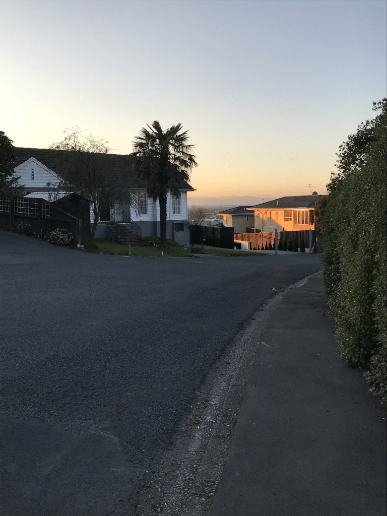
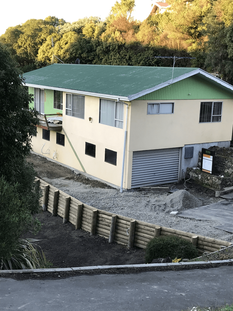
This is a small street of only 26 properties all built in the 1970s and the houses are typical of this era. Being church land the houses would have been built on leasehold land and the freehold has possibly been purchased in recent years. The street didn’t stand out in any way and was an ordinary tidy street. Houses in this suburb are of a fairly standard style with not much variation.

Annex Road in the suburb of Middleton, Christchurch

Annex Rd in Middleton – formerly Lincoln & Riccarton Junction Road and Junction Road. In 1914 it was named Lincoln & Riccarton Junction Road. Junction Road first appears in street directories in 1936. Re-named Annex Road in June 1948 when 24 streets in the Waimairi County were re-named.

A small amount of from the library website. There was a huge amount of information on Papers Past. Many entries were about Sunnyside now known as Hillmorton Hospital. In 1963 a day hospital was opened at Sunnyside. The rest of the articles were mostly about the condition of the road, complaints about cyclists and there were so many accidents on the road. There was about 10 years of talk about road widening and it took so long because that is how long the negotiations with the railways took as it was railway land that was required. In 1951 because of the unsatisfactory condition of the road the Waimairi County Council was seeking to declare it as a main highway. In 1966 Marylands which had a frontage on Annex Rd was sold to the council and in 1974 the Marylands Industrial block was approved. In 1979 an underpass for cyclists was approved. In the last couple of years the part of the road that goes past Hillmorton Hospital is now part of the Nor’ West Cycleway.

Personally I thought that it was more interesting when the road was Lincoln and Riccarton Junction Rd. In 1866 there were sections of land for sale and in 1875 the owners of the various sections were told to stop water from their artesian wells from draining onto the road because of the damage this was causing. In 1871 Mr Dearsley’s gravel pit is mentioned. Mr G P Williams in 1893 was seeking permission for a water race ford on the road. Mr Barnard had a farm near the the lunatic asylum. In 1893 the property of Sir John Hall was for sale.

When looking atPapers Past there was frequent mention of Middle Lincoln Rd which was a bit confusing so I went looking for maps. Middle Lincoln Rd seems to be now Wigram Rd but Wigram Rd isn’t on the library website. I then managed to find Lincoln and Riccarton Junction Rd on a map dated 1879 and this road went all the way to Riccarton Rd at Church Corner. The portion of the road that went from Blenheim Rd to Riccarton Rd is now Hanson’s Lane but this information isn’t on the library website. There is also no mention in Papers Past. I will have to add this information to my Hanson’s Lane write up. I went back to the 1879 map and compared it to modern maps to confirm this.

I actually walked this street in full in February 2020 and it would have been when I was still doing volunteer work at the University. I used to catch a bus to the University and then walk home via a different route each time. Yes it is a very long from the University to Addington. I remember stopping for coffee and cake at a cafe on Lincoln Rd. From Blenheim Rd to Wigram Rd it is all businesses and too many for me to name them all. Then there is the underpass before you get to Hillmorton Hospital. There is now a few houses plus big area of green space before you get to Lincoln Rd. The area between the underpass and Lincoln Rd I have frequently walked as people keep hiding geocaches in the area.

Six Silvers Avenue in the suburb of Halswell, Christchurch

Six Silvers Ave in Halswell – Named because of the six silver birth trees at the entrance to the subdivision. This is the main accessway into the subdivision off Milns Road/Sparks Road. It is flanked by trees and centre islands giving an ‘avenue’ effect. Developed by Brian Gillman Ltd. and named in 2003.

A small amount of information from the library website and I am not going to correct their spelling mistake as it is amusing.

I walked this street today when I was out geocaching and I can’t decide if I like the street or not. Most of the street has a footpath on both sides. There is a nice playground at the Milns Rd end and the trees give it a nice feel. There is also the entrance to a walkway here. The architect with the column fetish was busy on this street. At the other end of the street there is another walkway in Shield Reserve. Most houses were built in 2000 and there was one that I actually quite liked. I was amused by a flag that someone had erected in the middle of the grassy bit in the middle of the road. It had the number 6 on it and pointed towards a driveway.

Shield Place in the suburb of Halswell, Christchurch

Shield Place in Halswell – This name continues the theme of English heritage and “Courts and Castles” used for the street names in the subdivision. Developed off Milns Road/Sparks Road by Brian Gillman Ltd. Named in 2003.

A small amount of information from the library website and nothing that I can add to it. I walked this street today when out geocaching. There was a footpath on only one side of the street which I hate. Also where the footpath ended you felt like you were in someone’s driveway. Not many houses here and most were built in 2000. The only one that stood out for me was one I didn’t really like. Weirdly there is a Shield Reserve but it isn’t anywhere near this street but on a neighbouring street.

Armour Place in the suburb of Halswell, Christchurch

Armour Place in Halswell – This name continues the theme of English heritage and “Courts and Castles” used for the street names in the subdivision. Developed off Milns Road/Sparks Road by Brian Gillman Ltd. Named in 2003.

A small amount of information from the library website and nothing that I can add to this. I walked this street today when geocaching in the area. What surprised me was that there was a footpath on both sides of the street. This is unusual for the age and style of the street. The houses were fairly large and some had nice gardens but many had such immaculate lawns with no colour or flowers that they were boring. The architect with the column fetishes had designed some of the houses but at least the houses weren’t too ugly but none inspired me to take photos.

Kinloch Street in the suburb of St Albans, Christchurch

Kinloch Street in St Albans – Probably named after Kinloch Rannoch, Perthshire in Scotland. First mentioned in the Star in 1908 when a property is advertised for sale there. First appears in street directories in 1909.

A small amount of information from the library website. Not a huge amount of information on Papers Past apart from death notices. There were sections for sale in 1908 and 1920. The was also a Kinloch St in Burwood. I walked this street in in August 2022 and I refreshed my memory by looking at street view I realised that the google car had been on this street in the same month. Rather disappointed that I missed seeing this car. The oldest house in the street was built in 1905 and it is rather lovely. Many houses built in 1910 but most were built in 1960s and 1970s. Looked like a lovely street.

Pitt Place in the suburb of St Albans, Christchurch

Pitt Place in St Albans – formerly Pitt Street. Named after George Pitts (1837?-1915). George Pitts ran the Springfield Brewery. The business is mentioned in the Star in 1879 in an advertisement. In street directories of 1890, George Pitts and also Pitts & Co., Springfield Brewery of Springfield Road, are listed. Pitt Street first appears in street directories in 1904. Before this the street is listed as a right-of-way. The street is sited on the land once used for the Springfield Brewery.Re-named Pitt Place on 1 September 1948 when 120 streets were re-named.

A reasonable amount of information from the library website. Very little information on Papers Past apart from a few death notices. Most houses here were built in the 1970s but I quite liked the one older house from 1940s. I walked this street back in August 2022.

Just checked various old maps and there seems to be a stream that runs at the end of the street.

Kidson Terrace in the suburb of Cashmere, Christchurch

Kidson Tce in Cashmere – Named after Charles Kidson (1867-1908). Kidson was an art teacher, artist, craftsman and sculptor and lived in the Dyers Pass Road locality. First mentioned in The Press in 1911 when sections are advertised for sale there. First appears in street directories in 1912.

A small amount of information from the library website. Not as much information on Papers Past as I was expecting. There were sections for sale between 1911 and 1919 and then again in 1961. In 1959 Mrs W Patchett applied for permission to subdivide another block of land on Kidson Tce. In 1929 residents wanted something done about the road. A few articles about the corner of Kidson Tce and Dyers Pass Rd being dangerous. I actually walked this street in August 2020 and there are some great views here. The oldest house is from 1905 plus a few from 1910s and 1920s but most houses were built between 1960s to 1990s. There were some lovely and some interesting houses here.

Sulby Road in the suburb of Cashmere, Christchurch

Sulby Road in Cashmere – First appears in street directories in 1923.

A small amount of information from the library website and the street is probably named after Sulby in the Isle of Man.

Another street that I walked in August 2020 and there are some lovely houses here. The oldest house was built in 1905 and there are three from 1920s. Gradually the various large properties were subdivided with several houses built in 1990s. The Bates family that lived at 1 Sulby Rd were frequently mentioned in Papers Past.

Iles Lane in the suburb of Cashmere, Christchurch

Iles Lane in Cashmere and there was nothing on library website about this street. The houses here were built between 1990 and 2018 but when I walked it in August 2020 there were still houses being built. One of the main reasons that I am finding streets from two years that I haven’t written up is that any photos I took were on my old laptop. Recently transferred all photos to my slightly newer laptop as battery failing on the old one. This lane runs off Kidson Tce where 87 to 91 Kidson Tce would have been. I suspect the this lane is named after a person but couldn’t find anyone with that surname living here. It was a fairly common surname. Edited to say that I really hope that it has been named after Marie Iles who received an OBE in 1971 for her Girl Guide work but it is more likely named after some random person connected to the developer.