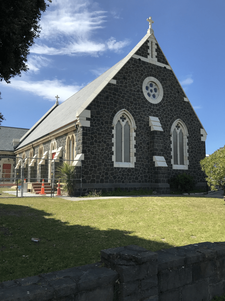
Clonbracken Lane in Heathcote Valley – First appears in street directories in 1987.
A small amount of information from the library website. I actually did this street in October 2020 and realised that I hadn’t written it up. It is a tiny lane that runs off Laing Crescent and looks like a private driveway. There isn’t a footpath and I only walked a small part of it before feeling too uncomfortable to continue. The houses were all built in the 1990s. I couldn’t find out the meaning of the street name.
Cognac Drive in Yaldhurst – Named after Cognac, a spirit produced by the Delamain family. In the Delamain subdivision. Named in 2007.
A small amount of information from the library website and nothing that I can add to it. I walked this street in August when I was geocaching in the area. The houses were all built between 2007 and 2013 and they must have been designed by a column obsessed architect. There is a reserve on the street and there is also a footpath on both sides of the street.
Jacques Way in Yaldhurst – Named after Jacques Delamain. Delamain was the son of James Delamain who carried on the family cognac business. In the Delamain subdivision. Named in 2007.
A small amount of information from the library website and nothing that I can add to it.
I walked this street in August and I was so sure that when I was in the area over a year ago that I wasn’t able to walk it as it was blocked. All the houses were built between 2007 and 2013 so I am not sure why I thought that it was blocked. I didn’t like this street as there wasn’t a footpath, The street is split in half by another street and in one half the houses were one style and in the other half they were another style. Would be easy to get confused about which house you lived in as they are so alike.
Roullet Lane in Yaldhurst – Named after Paul Roullet and his family Paul Roullet had married into the Delamain family forming a partnership, Roullet & Delamain. This later became Delamain & Co. In the Delamain subdivision. Named in 2007.
A small amount of information from the library website and nothing that I can add to it. Only 4 houses here which were built in 2007 and they are on only one side of the street. Surprising for such a new street there was a footpath on both sides of the street. I walked this street a couple of months ago when I was geocaching in the area.
Bernice Crescent in Yaldhurst – Named after Aimee Bernice Delamain.Aimee Delamain is a granddaughter of Frederick William Delamain (1835-1910). In the Delamain subdivision. Named in 2007
A small amount of information from the library website and nothing that I can add to it. I walked this a couple of months ago and I normally rely on my photos to remind me but I didn’t take any photos here. Looked at street view and I realised why no photos. There are only 19 houses here built between 2007 and 2016 and none of them stood out for me. Even the gardens were boring as it was immaculate lawns and practically no flowers
Tosland Street – Named after Gordon Harry Saywell Tosland (1924-1996). Wing Commander Tosland was Wigram base commander February 1966- January 1967. Named to continue the theme of naming streets in Wigram Skies after people involved in the air force in New Zealand. There are a number of streets named after former RNZAF Wigram Base commanders. Named in 2013.
A reasonable amount of information from the library website. Found a little bit of information from ancestry website. He was born 3rd December 1924 at Opunake, Taranaki. He was married in October 1951 to Dorothy Jimson at Wisbech, Cambridgeshire UK. He died 18th September 1996 aged 71 in New Plymouth and I really had to search for this information but that is because he was cremated. I had trouble finding out where his wife was buried but that is because she moved back to the UK after Gordon’s death and died in April 1999 and is buried at Fulham. I feel that I should have more information especially from Papers Past and I might need to search under his job title as his name didn’t bring up much.
This street has 17 properties mostly built in 2015. They are fairly large houses and many are 4 bedroomed. Most are brick houses with columns at the front entrances. None stood out for me and no photos for this street.
Shaw Ave in New Brighton – formerly James Street, Nelson Street and Norton Street. From Seaview Road to the Rawhiti Domain was formerly James Street. Named after James George Hawkes (b. 1832). This was renamed Nelson Street. Named after Horatio Nelson, 1st Viscount Nelson, (1758-1805). From Leaver Terrace to Bowhill Road was formerly Norton Street. Named after the auctioneering firm of Tonks Norton. Nelson Street and Norton Street were re-named Shaw Avenue. Named after John Andrew Hunter Shaw (1884- 1975). James Street was formed in 1890. Hawkes was an auctioneer and ironmonger. He went bankrupt in 1886. Re-named Nelson Street at a special meeting of the New Brighton Council on 12 August 1907. Harry Hawker (1868-1947), a New Brighton Borough councillor 1905-1909, had suggested that New Brighton street names be changed to the names of 18th and 19th century British sea captains. Nelson was a British admiral and naval commander. Norton Street is first mentioned in The Press in 1911 and first appears in street directories in 1924. The firm of Tonks Norton subdivided land in New Brighton in the 1880s and 1890s. The road “running through the Municipal Golf Links at New Brighton, from Norton Street to Nelson Street, was named Shaw’s Avenue” in 1932 by the New Brighton Borough Council, in honour of John Shaw, a butcher, and the mayor of New Brighton 1929-1931. The mayor at the time, E. A. M. Leaver, said Shaw “had taken a great interest in the golf links with which the road was closely connected”. His brother was the well-known professional golfer, Andrew J. “Andy” Shaw. Shaw Avenue first appears in street directories in 1934, running from Nelson Street through Rawhiti Domain. Nelson Street and Norton Street became part of Shaw Avenue in 1948.
That is a huge amount of information from the library website. There was a lot of information on Papers Past as many towns as well as other suburbs had the same street names. James St in 1904 had a shallow well sunk. Nelson St seemed to be mostly birth and death notices. In 1924 the foundation stone for a new church was laid. In 1930s and most entries seem to include Rawhiti Domain.
I walked this street in October this year and I was geocaching. I started at the Rawhiti Domain and there is also a Community Garden here. Many of the houses between the Domain and Hawke St are older houses dating from 1905 to the 1920s. Some looked like they would have been baches previously. There were a lot of baches in the New Brighton area as it was a popular seaside resort area before car travel was so easily available. The rest of the houses were mostly built in the 1970s and 1980s. Between Hawke St and Seaview Rd it is mostly shops. There is also a toilet block here with some street art. I did use the toilets here but felt rather uncomfortable because of the rather rough looking men sitting nearby.
Molesworth Place in Somerfield – Formerly Tarndale Place. The pastoral runs of Molesworth, Tarndale, Dillon and St. James were formed into Molesworth Station. Re-named Molesworth Place. Named after the Molesworth Station. Tarndale Place first appears in street directories in 1972. Re-named Molesworth Street in 1976. In a subdivision where the streets are named after rivers or properties in North Canterbury.
A reasonable of information from the library website. Very little information in Papers Past and there were sections for sale in 1972 in the Tarndale subdivision. A couple of ads in 1976 say Lower Cashmere. Note I get the suburb details from four different official websites. Another street that I walked in August this year and yes I was geocaching in the area. Most houses here were built in the 1970s but none stood out for me. It is really ugly modern houses or lovely older houses that I tend to notice. Part of Ashgrove Reserve is on this street. It looked like a pleasant street. As a side note I would love to do the Molesworth Station trip one day but doubt that my little car would manage it.
Woodbank Street in Somerfield – Information on date of naming in a letter sent to the City Librarian from the Town Clerk dated 13 December 1966.
A small amount of information from the library website. I suspect that this street was named after a high country station as this was the theme for the rest of the streets in the area.
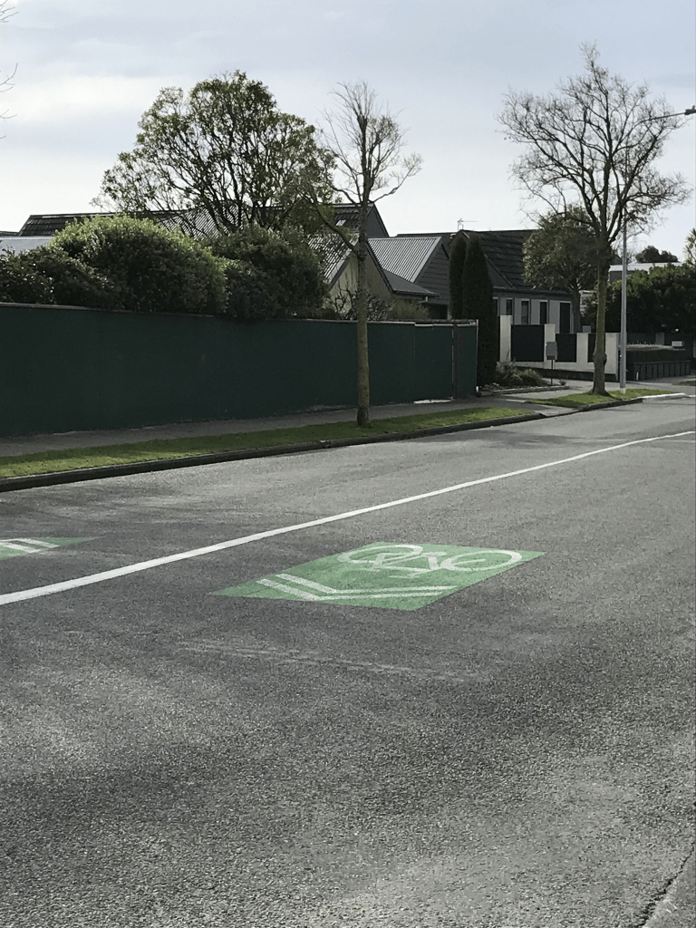
Papers Past had very little information and it was mostly ads for selling sections in 1967. I walked this street back in August this year and none of the houses stood out for me. Most were built in 1960s and 1970s. The Nor’ West Arc Cycleway is on part of this street.
Palmside Street in Somerfield – Named after the Palmside Station. One of a number of streets named after rivers and sheep stations in North Canterbury. First appears in street directories in 1962.
A small amount of information from the library website and I walked this street in August this year.
Not much information on Papers Past. It was named as a new street in 1959 and in 1961 there were sections available. In 1964 when there was a grass fire on the street one of the firemen managed to fall off the fire engine. The saddest story was in 1969 when a young girl died after falling off her horse.
Most houses here were built in 1960s and none of them stood out for me. The street runs from Rose St and then on a slight bend it becomes another street. It is confusing when streets do this. There is a fairly new cycleway here. Edited to say that I have just found out that the cycleway is called Nor’West Arc Cycleway.