Amherst Place in Cashmere – Named after Bryan Amherst Barrer (1908-1980) Barrer was a lawyer and foundation member of the Canterbury Mountaineering Club. First appears in street directories in 1978.
A small amount of information from the library website. There were a few entries on Papers Past and they were about the subdivision in 1974. There were 7 sections being sold by B A Barrer and Company. A street with great views but none of the houses stood out for me.
Harry Ell Drive in Cashmere – Named after Henry George “Harry” Ell (1862-1934). Ell was a prohibitionist, parliamentarian 1899- 1919, conservationist and an advocate of the establishment of a string of reserves along the Port Hills. First appears in street directories in 1990.
A small amount of information from the library website and nothing that I can add about the name.
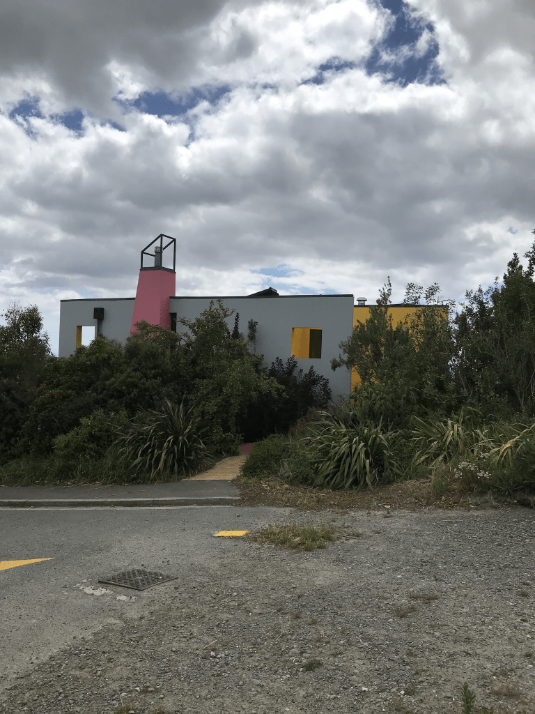
The views from this street are fantastic and every house is built to take advantage of the views. Most of the houses were apparently built in the 1970s so I would have expected it to have been in street directories much earlier than 1990. So many different styles of houses and some I liked and some where toilet block style. They are all well beyond my budget unless someone would like to give me a million or two. There was one house at the top that I loved but I couldn’t get a decent view because of the trees surrounding. I did find a photo online on an official website that was taken in 2007 before the trees grew but because of copyright I couldn’t copy it. I was hoping that street view would show it but it didn’t.
There is someone who is poisoning trees that belong to an elderly woman. The trees are on her private land and it is mostly native bush much of which was planted by her late father. It is possible that the person doing this lives on this street.
Derrynane Lane in Cashmere – nothing on library website. Derrynane is a village in Ireland and it was also the name of the ship. Couldn’t find out anything about this tiny street. There are only about 4 houses here built in 1990s.
Another one that I have managed to do twice and I have a feeling that in 2019 that I came up through Longhurst Reserve as I remember that I was geocaching in the reserve in 2019.
Fox Lane in Cashmere – First appears in street directories in 1991.
A tiny amount of information from the library website. It is highly likely that this name is connected to the Allom family and the lane is opposite Allom Lane. Thomas Allom’s second wife was Eliza Fox.
Another street that I had forgotten that I had already walked in 2019 when I walked Longhurst Terrace. I only partly walked it as you end up feeling like you are on private property. Only 5 houses here dating from 1980 and 1990. Another tiny street with great views over Christchurch.
Allom Lane in Cashmere – Named after Thomas Allom (1804-1872). Allom, an English artist, topographical illustrator and architect, was one of the founder members of what eventually became the Royal Institute of British Architects. He was a friend of Edward Gibbon Wakefield and spent some time in Canterbury where he lithographed some works of Heaphy. Two of his sons, Alfred and Charles, later emigrated to New Zealand. First appears in street directories in 1990. Information supplied in 2007 by Barry Allom in an interview with Margaret Harper.
A reasonable amount of information from the library website. There were a few entries on Papers Past and I thought that perhaps there was a mistake with the name Alfred but there wasn’t. There was also a brother Albert who came out to New Zealand and lots more entries about him on Papers Past. I wasn’t expecting this street to get interesting but I had a wee sidetrack. There were several entries on Papers Paper giving credit to Thomas Allom’s wife for the first bees in New Zealand. An article in 1895 said that bees were first introduced to New Zealand in 1845 by Mrs Thomas Allom who gave the bees to Miss Wakefield to bring to New Zealand. The author of the article then wanted to know who was responsible for introducing fleas and sweetbriars. I went googling as I expected there would be more information about this and there was more information as a Mary Bumby is credited with introducing bees to New Zealand in 1839. Mary Bumby is recognised by the Bee Keepers Association for this act.
I have actually walked this street twice as I also walked it in July 2019 when I walked Longhurst Terrace but forgot to write it up. If I don’t take photos I sometimes forget I have walked a street so this time I took a photo. Only 12 houses here and they were mostly built in the 1980s and 1990s. Great views but beyond my budget.
Whaka Tce in Huntsbury – formerly Whakakake or Whakakaka Road. Hancock’s Road was an early informal name. Named by Hannah Hancock (1854?- 1950) who said “whakekake” means superior”. Whakekake Road was named in 1923 at a meeting of the Heathcote County Council. Whakakake or Whakakaka Road appears in street directories 1938-1955. Hannah Hancock is the only resident in 1938. From 1957 it is Whaka Terrace.
A small amount of information from the library website. In Papers Past the only Hancock’s Rd I found was a street running off Normans Rd and nothing under that name for this street. There wasn’t anything under the Whakakake Rd. Under the name Whakakaka Rd in 1952 and 1953 there were several ads for the sale of fruit from the Plum Orchard. It was described as being between the sanatorium and the brickworks. Hannah died in 1950 and before her death was living in Canon St in St Albans so I don’t know who was running the orchard. In 1952 a contractor was required to lift and repile two rooms in the old house and apply to the new bungalow on Whakakaka Rd.
Between 1907 and 1922 Hannah Hancock was frequently fined for allowing horses to graze on a public road or for cattle to wander. In 1929 there was a fire in the shed behind the house and the neighbours were concerned for the safety of Mrs Hancock an elderly widow who lived by herself.
In 1975 there was an article by Gordon Ogilvie and the street is described as a narrow strip of housing between Murphy Bros and the old sanatorium. The subdivision dates from 1950s and is on the site of the Hancock’s Estate. The original homestead was burnt down. In 1969 residents objected to the use of coal at Coronation Hospital and in 1977 residents complained about the dog dosing strip. Main objection was the yapping dogs. In 1977 there was another subdivision of 45 sections with possible drainage issues.
I have spent all afternoon trying to figure out Hannah Hancock and her husband. The ancestry website wasn’t any help. In the electoral rolls between 1896 and 1841 she is at the property which is now Whaka Tce but by herself and no husband. She is described as married. In 1946 and 1949 she is living at 133 Canon St which was her address when she died. She is buried by herself. The only time her husband is mentioned is in 1903 when they allowed the Canterbury Highland Rifles camp on their property. Her death notice in 1950 says that she was 96 and the widow of Arthur Hancock. The various family trees on Ancestry say that Arthur Hancock died in Wellington in 1944 yet Hannah was described as a widow in 1929 by her neighbours.
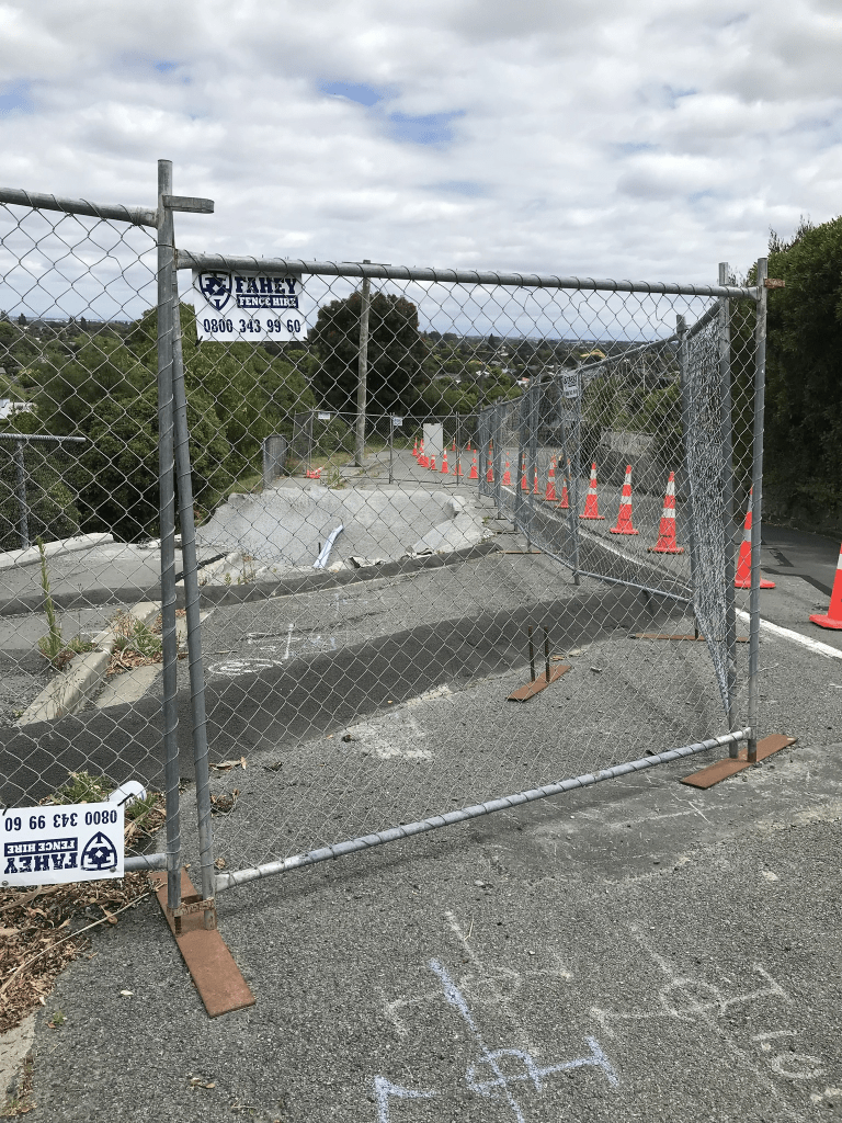
This was another steep street that I walked today and it has a mixture of house styles and still a few empty sections where houses have been demolished. A few houses left from the 1950s subdivision but many houses were built in the 1980s and 1990s. A large number of houses were built after the earthquakes and they are mostly likely rebuilds. None really stood for me. The Whaka walkway goes from the top of the street but I believe that it is just a short one that leads to another street. A big section of the road is one way controlled by lights. The reason for this is a big slip and I believe that it has been like this for several months. The traffic lights amused me as they obviously turn green when they sense a car coming towards them. Walking back down the hill the motion of me walking made the lights turn green.
Mamaku Lane in Huntsbury. It is too new to be on the library website or google maps but weirdly it showed up on apple maps. I didn’t walk the street as it honestly just looked like a driveway to one house. There are apparently 6 houses here all built in 2020. It runs off Woodlau Rise. Mamaku means tree fern.
Woodlau Rise in Huntsbury – First appears in street directories in 1987.
A tiny amount of information from the library website. Nothing about the name of the street on the library website. In Papers Past there was several mentions of a property called Woodlau in Prebbleton. Most entries were from early 1900s and I did wonder if the developer of this street had a connection to the Prebbleton property.
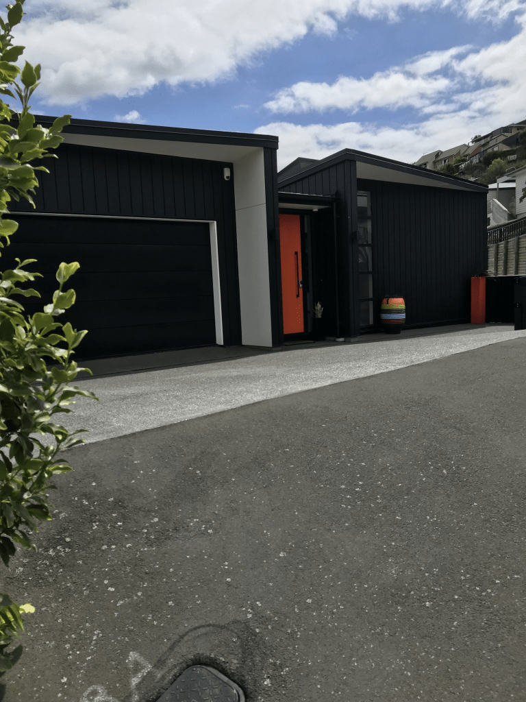
This street runs from Centaurus Rd and once you get to the top there are fantastic views. Most houses were built in the 1980s and 1990s with another burst of building houses between 2015 and 2018. I don’t normally say this when I walk a street which has modern houses on it but I liked this street. There were a few houses that appealed to me and one had a fantastic garden with interesting garden ornaments. I suspect that most houses would be beyond my budget. I would get plenty of exercise walking up and down this street everyday.
Sunhaven Place in Huntsbury and nothing on the library website. I assume that the name is because it is a sunny spot. A tiny street with no footpaths. Only 10 houses here and most were built in 1990s and 2000s. Not really a lot that I can say about it.
Lookaway Lane and Lookaway Place in Huntsbury – First appears in street directories in 1991.
A tiny amount of information from the library website and it only refers to Lookaway Lane as Lookaway Place wasn’t on the library website.
I am assuming that the name comes from the views across Christchurch towards the mountains. Most houses were built in the 1990s and many are huge. I almost missed Lookaway Lane as it looks like a driveway but there are 5 houses there. It wasn’t easy to walk on Lookaway Place and I was frequently forced to walk on the road. Between cars parked on the footpath and low hanging branches it made walking difficult. Still I did have a lovely chat with one of the residents. She had fantastic views from her place. I introduced myself and explained my hobby and that I had walked up from Centaurus Rd. She said that I had a lot more energy than her and she was then shocked to realise that I was older than her.