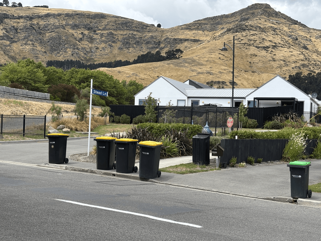
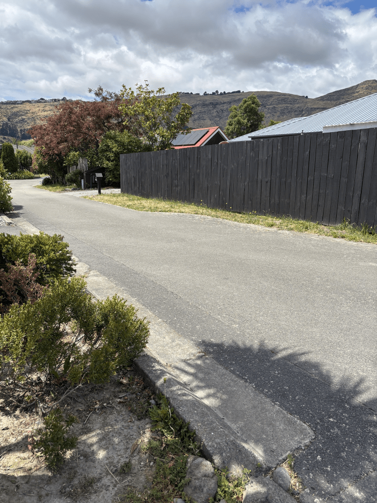
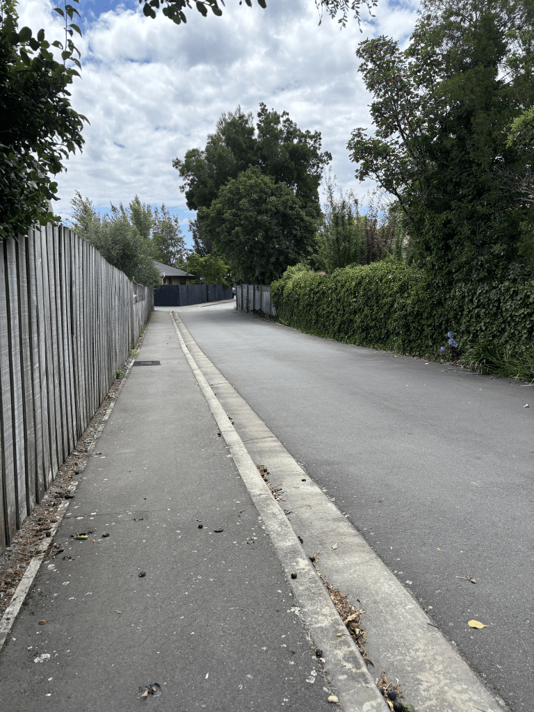
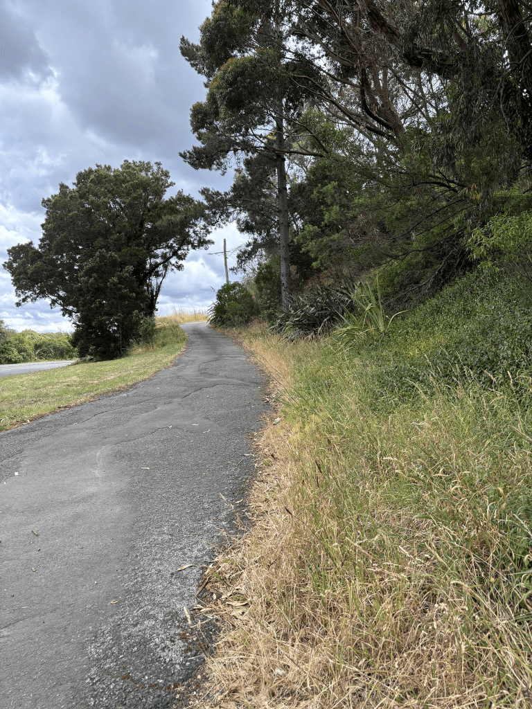
Stead Lane in Heathcote – Named after George Gatonby Stead, owner of G G Stead & Co. George Gatonby Stead (1841 – 1908) founded the company G G Stead and Co in 1871, and purchased the Maltworks in 1875. George was a notable grain merchant, racehorse owner and breeder and businessman. Additional information: Date Named: 17 February 2021 Subdivision: 68 Port Hills Road. The road names are themed for the historic use of the site.
A reasonable amount of information from the new library website. This is a new street and houses were built in 2021. George G Stead was a very busy man and between his business interests and racehorses I am surprised that he managed to find time to be the treasurer of the Jockey Club and governor of Canterbury College. He also seemed to be in court a lot usually chasing up people who owed him money plus he charged a newspaper with libel.
Cordelia Lane in Heathcote – Named after the ketch, Cordelia. The Cordelia was a ketch sailed by Captain James Hines (1836?-1920). The Shipping News in The Lyttelton Times in 1868-1869 refers to voyages made by the Cordelia, with Hines at the wheel, bringing firewood from Pigeon Bay to Lyttelton. Developed at 132 Port Hills Road. Named in 2009.
A reasonable amount of information from the library website. I didn’t manage a photo here and I didn’t walk it as there wasn’t a footpath and you would feel as if you are in someone’s house.
I was hoping to get a photo of ketch online but no luck. James Hines lived near the Heathcote River and sadly he had a young son drown in the river. James Hines was bankrupt in 1870.
Highlight Lane in Heathcote – Named after Highlight, a pony. Highlight is the name of the Heathcote Valley Riding School’s first pony. Named in 2003
A tiny amount of information from the library website and nothing that I can add about the name. Looks like the riding school has been operating since 1983.
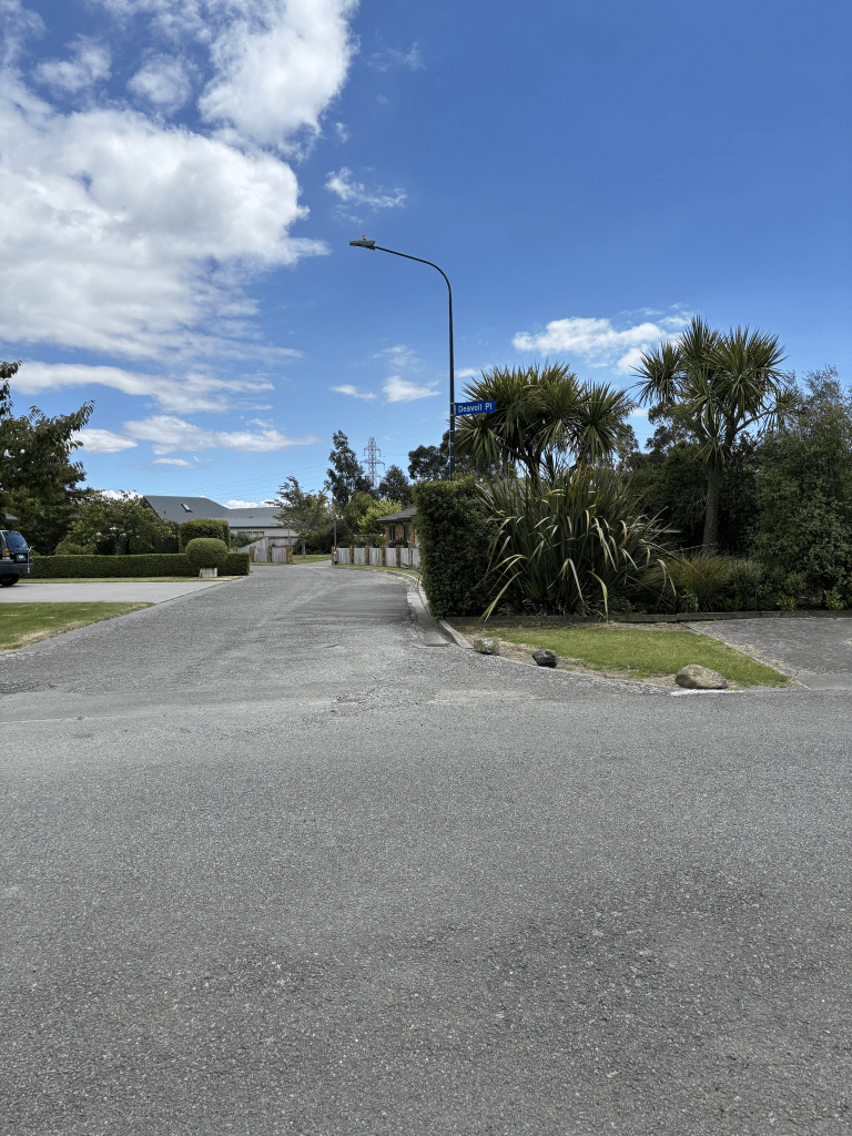
Most the houses here were built in 2005 and I didn’t walk this street as it looked like a driveway. The fence beside it also had Deavoll Place on it.
Malthouse Lane in Heathcote – Named because the street is adjacent to the Malting Company site. Named in 1997.
A tiny amount of information from the library website and nothing that I can add about the name of the street. The houses here were built in 1990 and I didn’t walk the street as there wasn’t a footpath and it looked like a private driveway.
I spent a bit of time googling images to remind myself of what it like before the maltworks were demolished. Used to easily see them from the school train and I am sure that the buildings were still there when my niece lived nearby. I found a fantastic article written by Barrie Woods about the maltworks and I am going to have to find out what else he has written as I have enjoyed reading the articles.
Fredrica Lane in Heathcote – Named after the daughter of the landowner where the street was developed. Developed at 140-144 Port Hills Road by Landform NZ. Named in 2008.
A small amount of information from the library website. I have worked out who the street was named after but because she is probably still a teenager I won’t be naming her but she does prefer to be known as Freddie. Another street that I am surprised that I hadn’t already researched as I had walked this part of Port Hills Road in 2020. That was the year when I had taken a bus to Heathcote and then walked home to Addington. The houses here were built from 2000 onwards and I only partially walked it.
Carinya Lane in Heathcote – Named after the historic orchard from which the subdivision was developed. The name is aboriginal for “habitat”- Named in 1997. Named after the historic orchard from which the subdivision was developed. The name is
aboriginal for “habitat” or from an Australian source “a happy, peaceful home” Not known which Aboriginal language the word came from.
A small amount of information from the library website and the new library website included the happy, peaceful home.
Not much information on Papers Past and there were lots of ads for the orchard that was at 154 Port Hills Road. I couldn’t find out the owner of the orchard.
I didn’t actually walk this street as it looked more like a private driveway and didn’t have a footpath. It runs off Mauger Drive which I walked in October 2020 so it is another street that I am surprised that I hadn’t already researched.
Edited as I managed to find out that William Thomas Thompson owned the orchard. Papers Past had an article where he was claiming money from the Heathcote County Council in 1958 as they had cut down his hedge which was a windbreak for his fruit trees. The council were widening the road and he was also claiming compensation for his land that was taken for the road widening. In 1925 he was upset because his war disability pension was stopped. He died in 1976 aged 95 and is buried in Lincoln Cemetery. He was born in New Zealand to Irish parents. His death notice doesn’t mention his wife and it looks like she left him sometime between 1948 and 1952.
Ardtrea Lane in Heathcote – Named in 1997 – A right-of-way at 136 Port Hills Road.
A tiny amount of information from the library website and the old library website only had that it was named in 1997 but the new website had added in the information about the right of way. It is actually unusual for the new website to have extra information.
I found extra information in a page called Heathcote Lovely Lanes written by Barrie Woods and his information is – On Wednesday 2 July 1997 a meeting of the Hagley Ferrymead Community Board agreed “that the right-of way at 136 Port Hills Road be named Ardtrea Lane”.Ardtrea is a parish in County Tyrone in Northern Ireland from which the lane takes its name.
I am very grateful to Barrie and it saves me from looking up the notes from that meeting. OK I couldn’t help myself and I did look at the minutes from that meeting. I looked at Google Maps and I hadn’t visited Ardtrea in Northern Island.
I still can’t figure out why I didn’t do this street in January 2020 when I walked several streets in the area. I would have walked past it in 2020. I only partially walked the street as it feels more like a private driveway. Most of the houses were built in 1990 but one was built in 1960 and is probably the original house at 136 Port Hills Road.
Ferrymead Terrace in Ferrymead and nothing on the library website. I would have expected this street to have been in Mt Pleasant or Heathcote. The street was obviously named after the area Ferrymead and Ferrymead means meadow by ferry.
Strange that there wasn’t anything on the library website as the street is mentioned in Papers Past in 1948 when houses in the area were damaged by a fire outbreak in St Andrews hills. A house at 11 Ferrymead Terrace was damaged and the house was owned by Mr S C Wing. This house was built in 1920. Not a lot of information on Papers Past and just a couple of death notices. Between the 1960s and 1980s there were lots of ads for the selling of fruit especially plums at 7 Ferrymead Terrace. I checked out Mr Wing on ancestry as I knew his name. I don’t recall ever meeting him but I own a spinning wheel that he made. He was well known in spinning groups for making spinning wheels and my mother-in-law knew him.
I checked old maps and Ferrymead Terrace isn’t on these maps and I checked up to 1960. Sydney Wing was also a furniture maker and his ads gave an address of Heathcote Bridge. Mrs Cannon also gave Heathcote Bridge as an address.
Census records and War Records for Sydney Wing before 1948 had his address as Bridle Path Road. I couldn’t find any information for a street name change but I suspect that Ferrymead Terrace used to be part of Bridle Part Road.
The valuation website that I use had only 5 houses on the street dated between 1920 and 1950 but when you walk the street it looks like more houses than that are on the street. This website isn’t always the most reliable. It was an interesting street to walk as there isn’t a footpath and it is fairly narrow with a steep bank on one side. I remembered an article about a car having gone over the bank from the street. Took me a while to find the article and it had happened in 2020. I believe that some of the houses have garages on Cannon Hill Crescent.
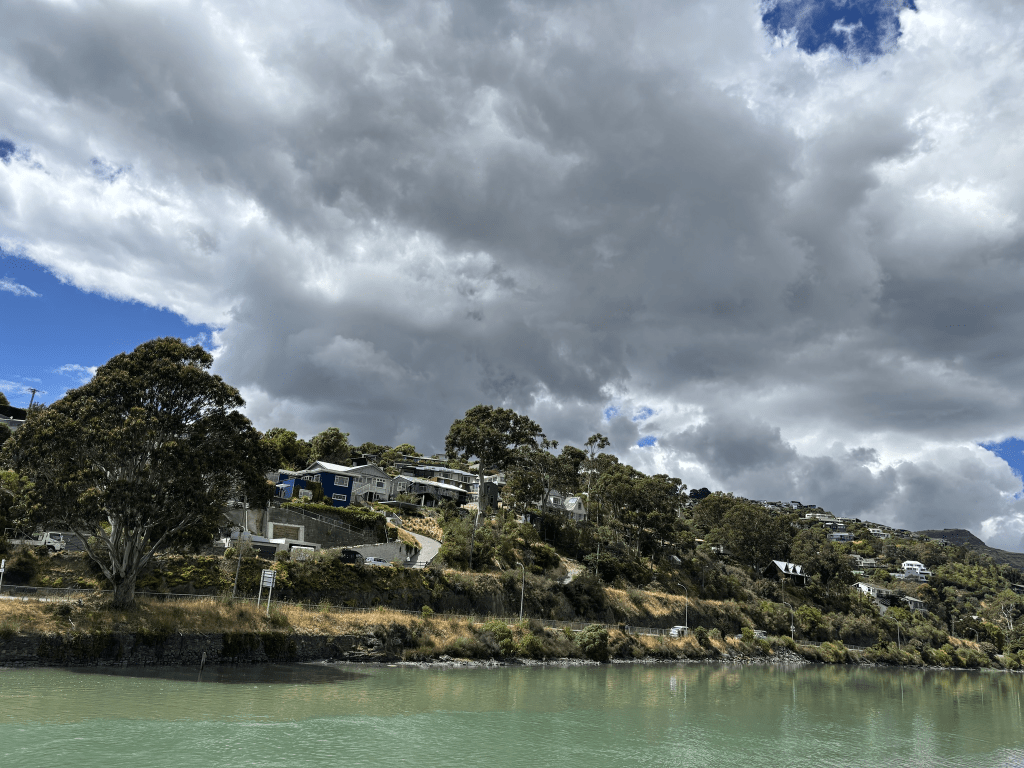
For a small street I took lots of photos and my best photos of the houses I took from across the river as you can’t see the houses properly from the actual street. You would have to be fit to live on this street going by the steps that led to the houses. These same houses probably had garages on Cannon Hill Crescent. The houses here would have great views but I wouldn’t feel safe as personally I think that you would be at risk of landslides. Parking would also be a problem plus when I got back to my car I saw that someone had parked so that they were blocking the entrance to the street.
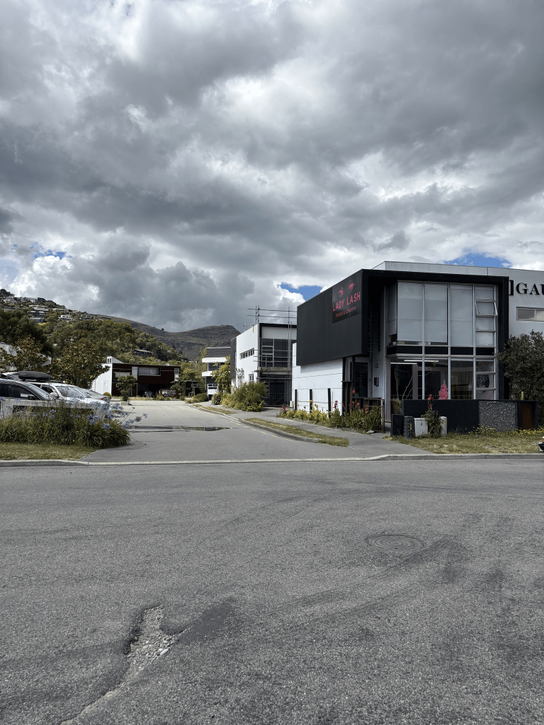
Tussock Lane in Woolston- Named because of the tussocks on the Port Hills. In a subdivision developed by Roc Mac Ltd. Named in 2005.
A small amount of information from the library website and nothing that I can add about the name of the street. I was surprised that I hadn’t already walked this street as I had already walked and researched Settlers Crescent. It is a short street with businesses on it but I suspect that people live above some of the businesses. I checked back on street view and there has been a sign with the street name since 2012 and I had walked Settlers Crescent in 2019. I know that I said that I wouldn’t walk anymore streets until I had caught up with my research but I felt like a walk today. I am obviously feeling better after the head cold that I was given as a Christmas present.
Moorpark Place in Ilam – First appears in street directories in 1968
A tiny amount of information from the library website and I couldn’t find out how the street got it’s name. It is possible that the property on Ilam Road where this street was developed had an orchard with Moorpark apricot trees or they called the property Moorpark. There were ads in 1950 for the sale of the large 5 acre property which included a large house and a tennis court and that it was suitable for subdividing. Mr A D Harris was selling because he had purchased another property so it would have been whoever purchased the Ilam Road property who would have subdivided it. Papers Past had lots of ads in 1964 and 1965 for sections in the Moorpark subdivision. The last section sold in 1969. A few death notices and street garden competition mentions.
All the houses here were built in the 1960s and none of them stood out for me. It looked like a pleasant street with nice gardens but I suspect that parking could be an issue during weekdays.
I didn’t intend to walk a street yesterday but I had arrived too early to meet geocaching friends for breakfast and this street was nearby. I did take notice of one house as it is having renovations done but it looked like the garage is being turned into living spaces. I checked street view and I was correct.