I have now finished walking Heathcote Valley apart from the Summit Road. The library has the Summit Road as part of Heathcote Valley. The area was named after Sir William Heathcote who was a member of the Canterbury Association. There was an article in Papers Past for 1848 with a list of the members and it certainly explains street and place names in Canterbury. I will complain that they spelt Lord Lyttelton’s name wrong. The secretary of the Association was a H M Lefroy and I wish that I had known that when I was looking after Charlotte. I could have had great fun winding her up as she was so scathing and nasty about the colonies. Sir William Heathcote was born in 1801 and died in 1881. I don’t believe that he ever came out to New Zealand but a Alfred S Heathcote came out to New Zealand in 1851. He was possibly a nephew of Sir William Heathcote but I haven’t double checked on the Ancestry website. Edited to say that it is unlikely that Alfred Spencer Heathcote was related to Sir William Heathcote.
There were sections being sold in Heathcote as early as 1851. By 1855 the parish of Heathcote was being mentioned in Papers Past. Heathcote was a busy place between goods and people coming over the Bridle Path and goods coming by sea from Lyttelton to the Heathcote Wharf. The Heathcote Ferry gets a lots of mentions on Papers Past. Once the railway tunnel was built between Lyttelton and Heathcote there was no longer a need for transporting goods by sea from Lyttelton. One of my Cornish ancestors worked on the railway tunnel and he was recruited by the Melbourne company that was building it.
Bridle Path Rd – formerly Heathcote Valley Road. Heathcote Valley Road is mentioned in The Lyttelton Times 1860- 1904. Bridle Path Road first appears in street directories in 1903, running from Sumner Road to Port Hills.
A small amount of information from the library website. In Papers Past under the name Heathcote Valley Road the earliest entry I found was in 1865 when the mailman was delayed because of a collision between his cart and some cattle. A few ads for the selling of property in 1874 and 1880. There was a complaint about the state of the road in 1875. Last entry under this name was in 1904.
It also seemed to be called Bridle Path or Bridle Path Road from 1858 when there was discussion about the cost of forming the road. In 1864 there were repairs to the road. Most entries between 1870 and 1900 were about the condition of the road and the cost of repairs. From about 1910 onwards there were birth and death notices plus social notices. Fruit trees were mentioned.
In 1917 the hillside church of St Marys was mentioned and in 1924 it was the 58th anniversary of the church which was a wee church nestled on the hillside on Bridle Path Road. In 1925 there was discussion about moving the church and by 1926 it was on a new site on Truscotts Rd.
In 1920 there was talk about building a road tunnel and this obviously didn’t happen until a few decades later. The school is mentioned in 1929 plus a building called The Tea House. The road was widened in 1956. In 1961 to 1963 there were lots of complaints about trucks and heavy machines speeding on the road. From 1970s onwards the Ferrymead Trust is mentioned. Lots of ads over the years because of fruit trees, vegetables and the Riding School. The Riding School was mostly mentioned in connection with a nearby street. There was a dog dosing strip established in 1977 and the Heathcote Rifle Club was mentioned in 1972.
Who remembers dog dosing strips? I remember that we had one near our house in Lyttelton and this was possibly why I was scared of dogs for most of my life. I only got over this fear after living in the UK for 5 years.
Because both names of Heathcote Valley Road and Bridle Path Road seemed to be used at the same time for several years I looked at old maps. The maps were equally confusing. In 1879 it was just called Bridle Path and looked like an extension of the track over the hill. No name on some of the earlier maps but a map for 1930 has it as Heathcote Valley Road. The map for 1941 has it as both Bridle Path and Heathcote Valley Road. From about 1958 it is only Bridle Path Road.
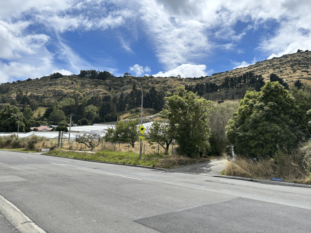
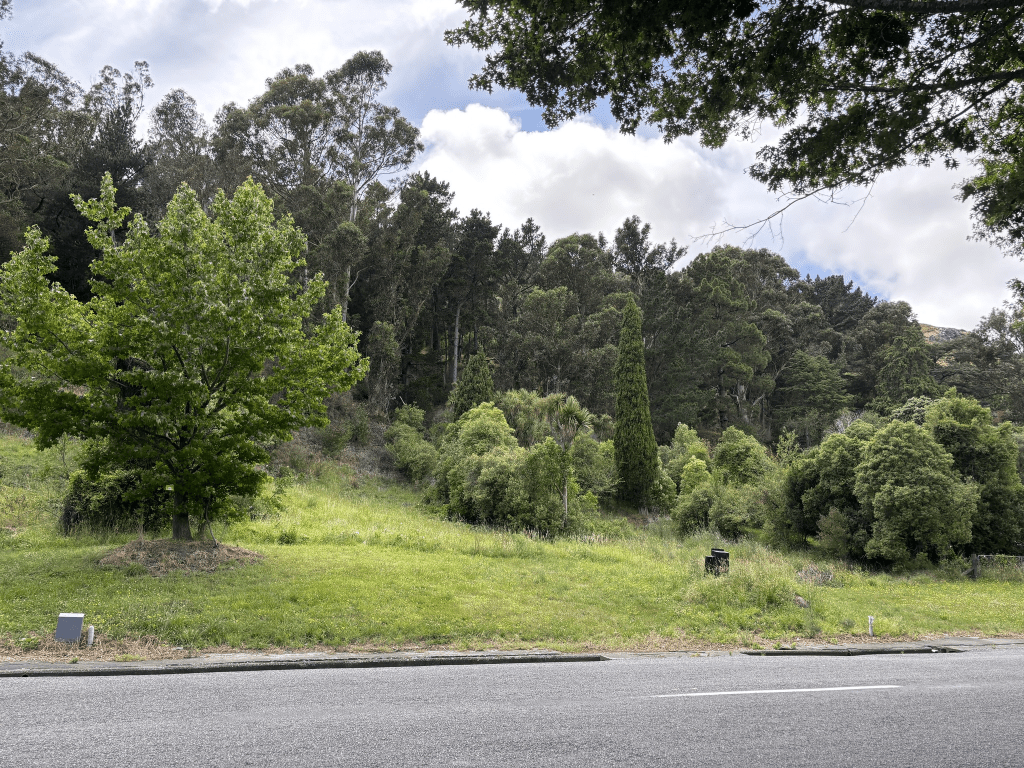
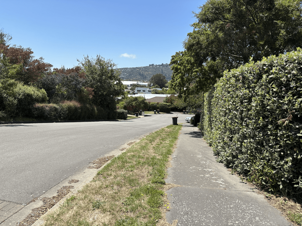
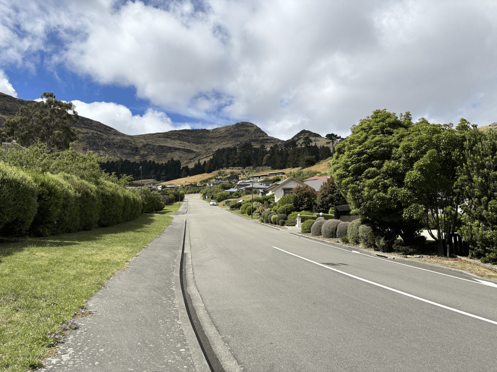
The houses here are from most decades dating from 1905. At least half the houses are from 1920 and earlier but it was almost impossible to see them because of all the trees in this area. Starting from the end where there is the entrance to the Gondola there are a few houses here. Most houses are on only one side of the road with trees and bush reserve on the hillside of the road. Then there is the Domain plus the school. On the other side there is the rifle club near the entrance to Morgans Valley. Houses then a cafe and the paddocks for the riding school. There are glasshouses on the other side of the road and then more trees are bush. There are a few houses on the hill side of the road but they are well hidden by the trees. Then there is Five Acre Farm just before you reach the football club grounds. Walk past Ferrymead Reserve and follow the river and you are soon at the bridge. I am sure that when I was younger that there were a lot more glasshouses along this road.
Broadleaf Lane and nothing on the library website. I imagine that it is named after a tree. Google maps and the valuation website that I use say that this road is in Heathcote Valley. The road actually goes up from the Summit Road to the top of Mt Pleasant. The QV website puts this street in Mt Pleasant and I personally think that Mt Pleasant is correct.
Nothing much on Papers Past with mostly just ads in the 1970s. There were a couple of entries in 1975 about changing the status of the dwellings from baches to permanent homes. One article was about the Summit Road housing issues where the owners wanted to extend their cottages but they were in the protected zone of the Summit Road.
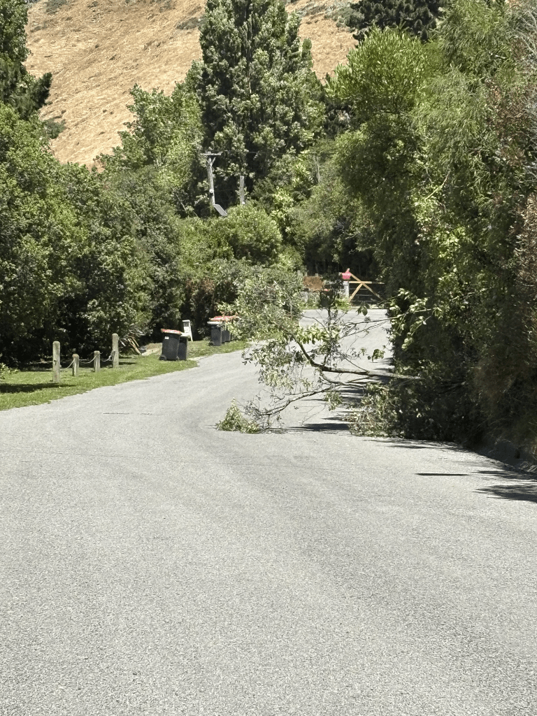
There are only three houses here and they were built in 1910, 1960 and 2016. I suspect that the one that was supposed to have been built in 2016 is actually much older than this. It was impossible to actually see the houses as they are surrounded by trees. I walked this road this morning and when I reached the top where you can overlook Lyttelton it was almost impossible to stand up because of the wind. At the top it is known as Mt Pleasant Reserve but I have always just known it as the Trig Station. Knew tis area well when going up as the hills here were our playground. I looked at where I grew up and it was a huge walk from our house and most of it up a very steep hill. One strong memory that I have from childhood is of us disturbing a ‘courting’ couple in a car. Today I ended up talking to a ham radio operator who belongs to a group who transmit from mountain summits. Thinking about the trig station I remember that at least 20 years ago there was a website that I belonged to where you had to visit trig stations. I can’t remember what you did to prove that you had visited them.
Bass Street in Woolston – First appears in street directories in 1896 but was in existence earlier. Alexander Dixon Neave (1852?-1949), a labourer, is listed in church registers in 1892 as living at “Bass Street, Ashbourne, Christchurch”. Bass Street is first mentioned in the Press newspaper in 1897 when a house burnt down due to a kerosene lamp accident.
A small amount of information from the library website and the new website had added the information about the house fire.
Papers Past had several death notices and lots of ads. As well as the house fire in 1897 there were houses destroyed by fire in 1910,1919 and 1965. The houses were connected to sewers in 1927. In 1930 the Drainage Board said that they were unable to cover Bell’s Creek at the end of the street as it was on private land. In 1963 there was a letter of complaint from the owner of 40 Bass St to the Drainage Board about the damage to his property when the contractors laid the sewers through his property. The Drainage Board replied to say that the owner’s garage was already in poor repair and the damage wasn’t the contractors fault. This same property which included glasshouses was for sale in 1967.
In 1951 there was talk about Linwood Post Primary getting land on the street for a playground but this land was considered unsuitable.
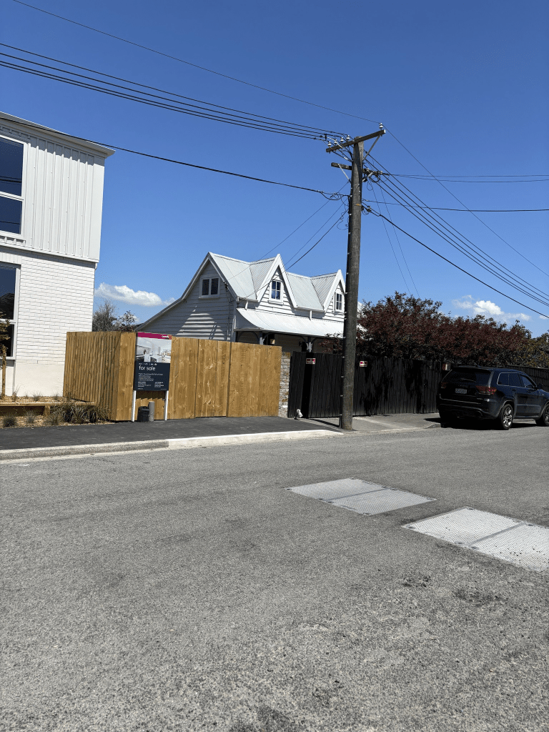
The valuation website that I use said that the houses here are dated from 1910 to 2016. There are still several houses dating from between 1910 and 1920 but one house that is supposed to be from 1910 is actually from 1850. Several articles about this house from 1980 onwards and it has category 2 listing. At least one article mentions that it was one of 5 cottages that was originally on Moorhouse Ave. Two were moved to Bass St but only this one remains. There are high fences around the cottage but in a council article there is a lovely photo of the house with just a low fence around it. There were some lovely houses here plus a council building. I ended up chatting with a local who said that it is an area that isn’t always safe and depends on who is living in the area.
Avoca Valley Rd in Heathcote – Named after The Vale of Avoca, a poem by Thomas Moore (1780-1852). Formed from land owned by William Robinson and named by him. His farm was subdivided from 1918 and the road formed. First mentioned in The Press in 1921. First appears in street directories in 1921.
A small amount of information from the library website. I searched Ancestry, cemetery database and Papers Past and the only entry for this William Robinson that I could find was census / land records for 1875. There were so many men with this same name.
A few entries in Papers Past and when the road was being formed in 1920 the only name mentioned was Mr Scott. The Avoca Valley Run / farm was looked after by a farm manager J S Weir. In 1933 a turning place was to be provided at the top of the road and sections were available in 1934 and in the 1950s. In the 1940s and 1950s there were ads for fruit pickers wanted. In 1969 the sewer was extended. In 1983 and 1985 there were fires in the Port Hills that threatened houses here. There was a very accident prone man A C Ascott lived on this road and he got several mentions. In 1967 he is described as a 30 year old watersider who suffered head injuries and shock by being hit by a length of dunnage. In 1968 he fell off his motorbike on Evans Pass Road. In 1971 he fell from his motorbike in Opawa Rd. I can’t remember which year his car caught fire. He died in 1994 aged 57.
There are only about 36 houses here dating from 1930 to 2018 and most were on fairly large sections. Some lovely gardens and there is a cattery near the end of the road. Right at the end there was a gate saying private property and a sign saying Tussock Hill Farm. I googled and found an article from 2018 which says that the Summit Road Society purchased this farm for 1.6 million dollars. The society was hoping to get permission to use red zoned land on this road for a car park and public access. I looked at street view from before the earthquakes and there were a lot more houses on this road. Almost all the houses on one side of the road were demolished. There were lots of horses on this side of the road. The road was flatter than I was expecting and it was an easy walk. I certainly can’t count it as one of my monthly hill walks as I was intending to do. I quite liked this road but a bit too far from the central city for my liking. I like being able to walk to the city from where I live in Addington.
Gilders Grove in Heathcote – Named after Digby Te’Ohia Leslie Gilders (1896-1980). Gilders was a private surveyor practising in Christchurch 1930s-1970s. He surveyed the subdivision which created the allotment subdivided to create the street. A subdivision at 19 Avoca Valley Road by W. J. Mauger. Named in 1999.
A small amount of information from the library website.
The following information is from the council website – HEA/98/143 W J Mauger 19 Avoca Valley Road Heathcote Ward This subdivision creates eleven new allotments served by a new cul de sac, running north east off Avoca valley Road. The applicant has submitted the following names for approval for the cul de sac: Maddethan Place the name is related to family names of the applicant Peppertree Close from a protected tree on the site Cron Way also related to a family name Maddethan may be remotely confused with Maddisons Road, however this is unlikely, particularly with Maddisons Road being near Templeton, and being in a different Postal Zone. There is a new cul de sac called Pepperwood Place in Burwood, which may be confused with Peppertree, and there are currently sixty-five existing streets in the City ending with ‘wood’ and a further sixteen beginning with ‘wood’. ‘Cron’ does not conflict with any existing names, and being a short name is suitable for this short cul de sac. Recommendation: That the name CRON WAY be approved for use for the above new cul de sac. HEA/98/143 W J Mauger 19 Avoca Valley Road This subdivision creates eleven allotments served off a new cul de sac . Three proposed names were submitted to the June Board meeting, and were declined as being unsuitable. The following names are submitted for the Board’s consideration : GILDERS GROVE Digby Gilders was a private surveyor practicing in Christchurch from the 1930’s to the early 1970’s. He was the surveyor who carried out the subdivision forty years ago which created the allotment that is presently being subdivided. CARTMAN CLOSE C F Cartman was a landowner in Avoca Valley Road fifty years ago.
The property at 19 Avoca Valley Rd was sold in 1995 so I am not sure how a surveyor who died in 1980 could have surveyed the subdivision. Part of the property was sold in the 1950s so he could have surveyed it then. There was a lovely character house on the property and I couldn’t work out if it is still there or not but suspect it was demolished.
Because the name of the street had an s on the end of it I thought that it might have been named after someone with the surname Gilder. Very disappointing that this wasn’t the case. Most entries on Papers Past relate to his work as a surveyor apart from a couple of episodes involving being drunk. Nothing much on ancestry website as he never married.
I walked the street today and nothing stood out for me. I did stand there for a while watching Westpac helicopter circling around the Heathcote Valley.
Morgans Valley in Heathcote and nothing on the library website. The following information is from Barrie Wood’s Heathcote Lovely Lanes Information – Morgans Valley was named after Captain William Morgan. Morgan was one of the pioneer settlers. His
home was still there in 1920 at the head of the valley. The house was built of Baltic pine and large slabs of Welsh slate brought from England. Morgans Valley has also previously been known as Scott’s Valley as it backed onto the JS Scott homestead in Bridle Path Road. Today Scotts Valley Reserve is to the south of Morgans Valley, above Birdsey Reserve.
Not much information on Papers Past and in the 1920s most entries were about rabbiting. In 1974 hang gliders were hoping to get permission to land on farmland in Morgans Valley. Flying hang gliders was banned in the Heathcote Valley.
Captain William Morgan didn’t stay in Heathcote for very many years and he moved to Kaiapoi where he died in 1875.
I was surprised that I hadn’t already walked this street for my project as I have geocached here. I found a geocache near the top of the street in 2017 and found another geocache in 2023. Most houses here date from 2000 with several built more recently. Some I liked and others I didn’t really like. There is one house that has a very interesting garden including a large sculpture of a horse. At the top of the street there is a gate blocking what I thought was a walkway. A sign about rockfall danger is on the gate. When I looked at street view from before the earthquakes there was a road leading to houses. These houses have all been demolished. There is another road that leads off the main road and I was half expecting it to have another name but it is still part of Morgans Valley. This one has also had the houses on the higher ground demolished. I actually quite liked the street. Great views from the top of the street.
Cooks Lane in Heathcote – formerly Cook Street. Named after William Cook. Cook, a timber merchant, built the homes on Cooks Lane. He is listed living there in 1907, the year Cook Street first appears in street directories. Becomes Cooks Lane in 1936.
A small amount of information from the library website and I couldn’t find anything on Papers Past for Cooks Street in Heathcote. There was a very interesting boarding house on a Cooks Street that ran off Colombo Street.
The first entry that I could find for Cooks Lane was in 1939 under military service call up and it was for Francis Andrew Stechmann a farm labourer of 3 Cooks Lane. Francis was my Dad’s cousin and my memory of him is when he lived on Canterbury Street in Lyttelton.
In the 1940s there were a couple of ads plus a new name was proposed for the street but the name was undecided. It obviously didn’t happen. Nothing in the 1950s and just a few ads in the 1960s. In 1972 there was a discussion about the disposal of night soil. From 1983 onwards only the Heathcote Riding School is mentioned.
I seriously sidetracked with William Cook because of his will. William Cook was a busy man and had been a butcher with his brother. Owned property in Lyttelton, Governors Bay, Teddington as well as the property in Heathcote. William Cook died in 1917 aged 61 and there was a big court case regarding his will as he only left a weekly allowance of £2 and 5 shillings to his wife Annie. This not only was to support his wife but also seven children. Two of the children were working and paid board plus Annie had to work as a part time nurse. William and Annie separated in 1903 and she lived in a house on the corner of Exeter St and Oxford St in Lyttelton. Reason for the separation was William’s relationship another woman. This woman was the wife of Annie’s brother and William was living with Annie’s brother Richard and Richard’s wife. William left most of his money to Richard’s wife and her children plus money to another woman and her children. The courts agreed to increase the weekly allowance to Annie. I didn’t read all of the will online as there were over 100 pages to it but I read enough to see that he had left most of his money to the two other women and their children. There could be two or three Lyttelton families who could get a surprise if they get their DNA done. Edited to say that Alice the wife of Richard Wakelin was living at William Cook’s property on Cooks Lane while Richard was living in Governors Bay. The widow of William’s brother Colin said that the business partnership between William and Colin was dissolved because of William’s relationship with Alice Wakelin. There was a child born in 1904 who was adopted by Alice Wakelin and William left this child a fairly large sum of money.
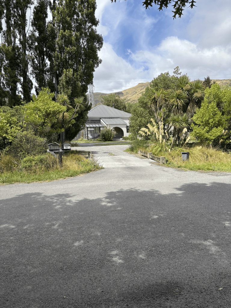
Most of the houses in this street were built in 2005 and later but there are two houses from 1910 and I managed to get a photo of one of them. The other one was hidden by lots of trees. There is a walkway here that leads to Ferrymead Reserve. There was a large green space that looked like it could have been a community garden but there wasn’t any signs. I checked google maps and it is possibly a private section.
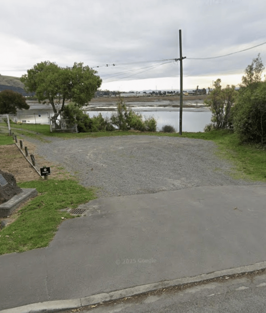
Cross Street in Heathcote/ Ferrymead and this street no longer exists. It is named on a map from 1930 but maps previous to that showed it but with no name. It was mentioned in Papers Past in 1933 as keeping the name Cross Street. I have checked old maps to compare with modern maps and it was possibly where the old Ferrymead House / Ferrymead Hotel stood. There used to be another house next to it but it was demolished several decades ago because of borer in the timber that the house was built from. Apart from ads for the Ferrymead Hotel there wasn’t much information on Papers Past. In the 1860s a Stephen Curtis ran the hotel and his nickname was Yankee Doodle Curtis. There have been a few owners over the years and one had a massive dispute with the Tramway Historical Society. I thought that I had taken a photo when I was walking in the area a few days ago but obviously hadn’t so it is a screenshot from street view. I think that there might have been someone working on the property and I try to avoid taking photos of people. There is a lot of information online about Ferrymead House / Ferrymead Hotel which has a Bridle Path Road address. If anyone has better maps for this area to show if I am correct or incorrect about Cross Street I would love to see the maps.
Wheatsheaf Lane in Heathcote – Named after wheat, one of the grains used in the making of malt extract (barley is the predominant grain). The sheaf of wheat is a common agricultural symbol. Additional information: Date Named: 17 February 2021 Subdivision: 68 Port Hills Road. The road names are themed for the historic use of the site.
A small amount of information from the new library website and nothing that I can add about the name.
The houses here were all built in 2021 and there isn’t a footpath to walk on .
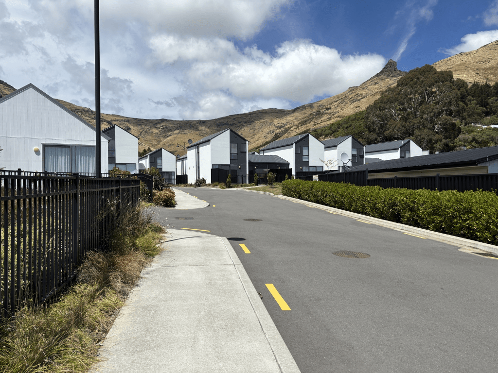
On Friday when driving back from walking the Bridle Path I noticed the sign saying Wheatsheaf Lane but it just seemed to point to the car park for the cafe and shops on Port Hills Rd. Yesterday when walking in the area I checked my maps and it looked like I could through Stead Lane to Wheatsheaf Lane so this is what I did. I was going to have an iced coffee at the cafe as I had walked about 8km but it was so busy that I just continued back to my car. All the houses here look exactly the same and I took a photo from Stead Lane looking towards Wheatsheaf Lane. It shows the back view of the houses on Wheatsheaf Lane and there is a wee path that takes you to the car park. I ignored the wee path and actually walked Wheatsheaf Lane which is why I know that there isn’t a footpath.