Seabreeze Close in the suburb of Bexley Red Zone, Christchurch

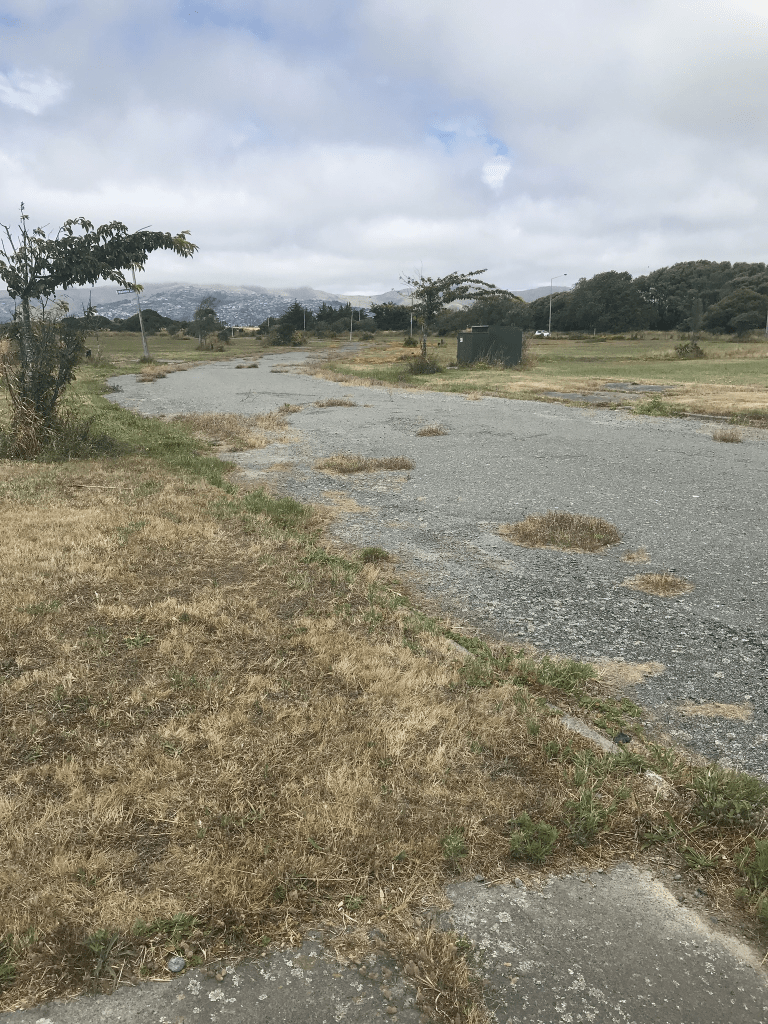
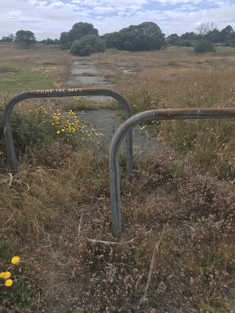
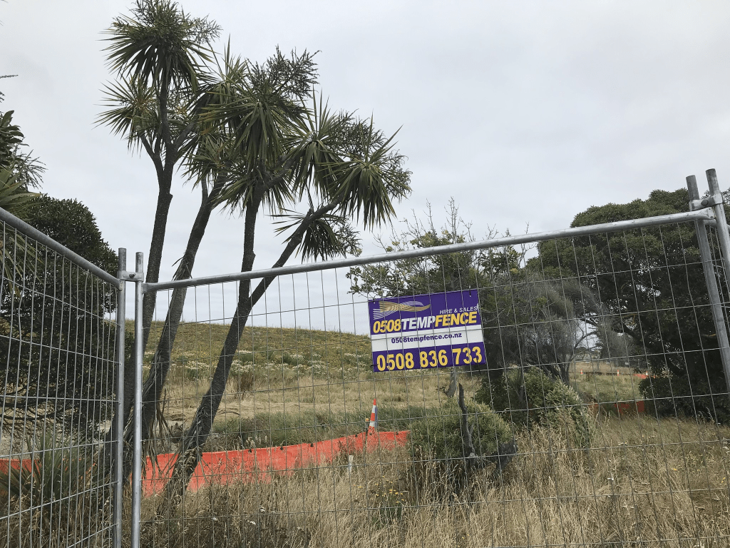
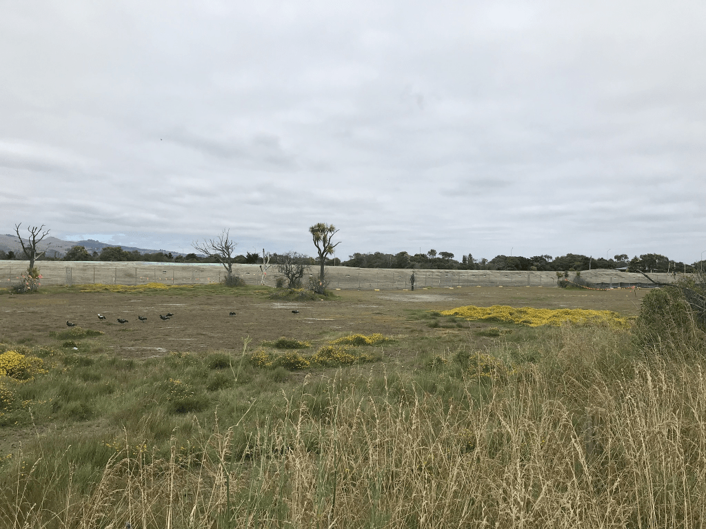
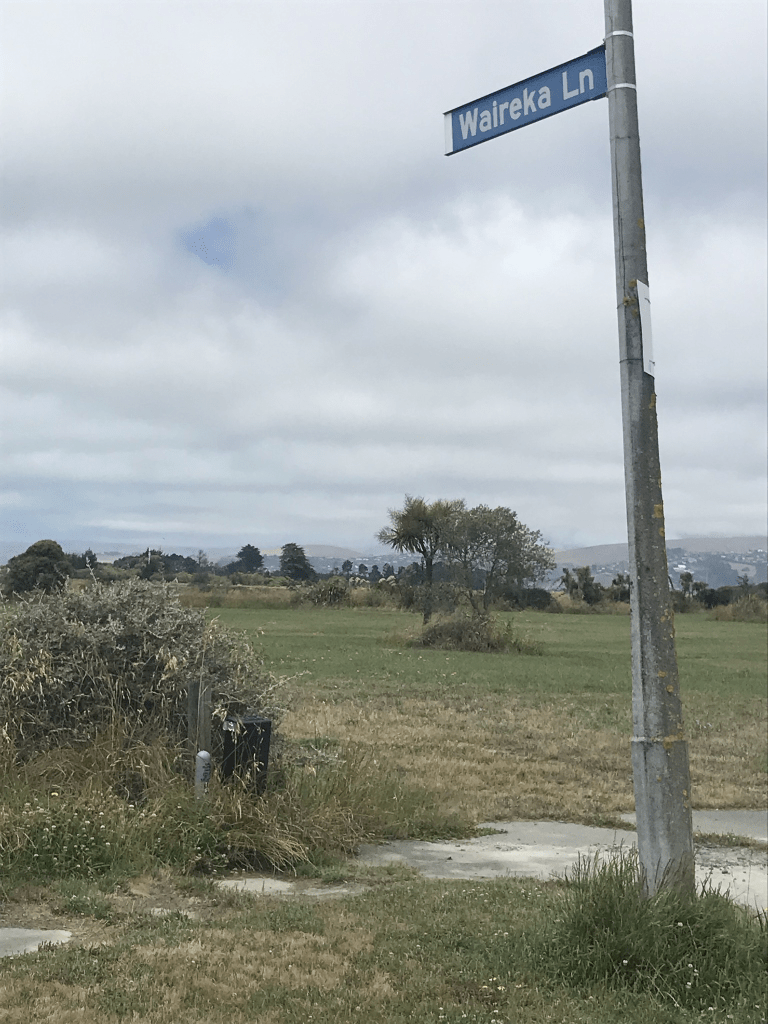
Seabreeze Close in Bexley Red Zone – First appears in street directories in 1995. A tiny amount of information from the library website. Street view from 2007 shows brick houses that were typical 1990s style. I did find two articles from 2010 describing what it was like for the residents are the September earthquake. The article from February 2012 was about interviews with the last four households still living on the street.

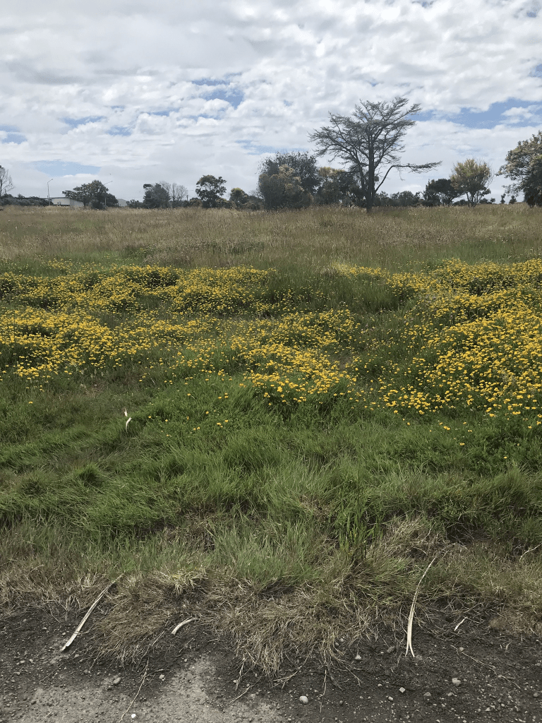
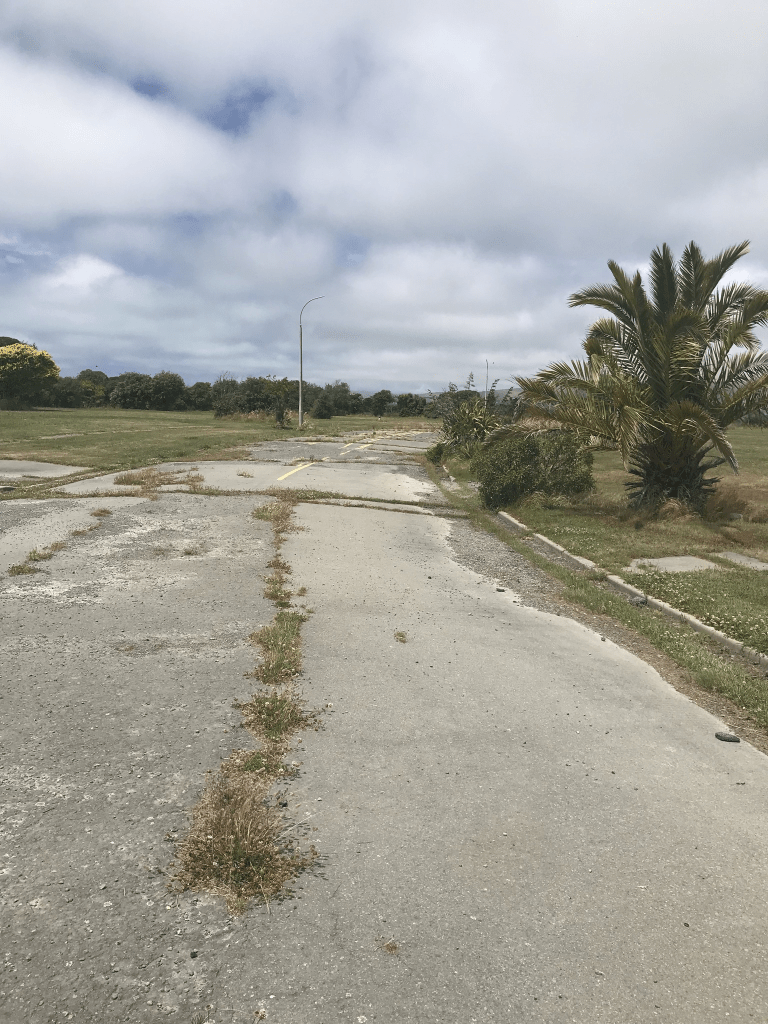
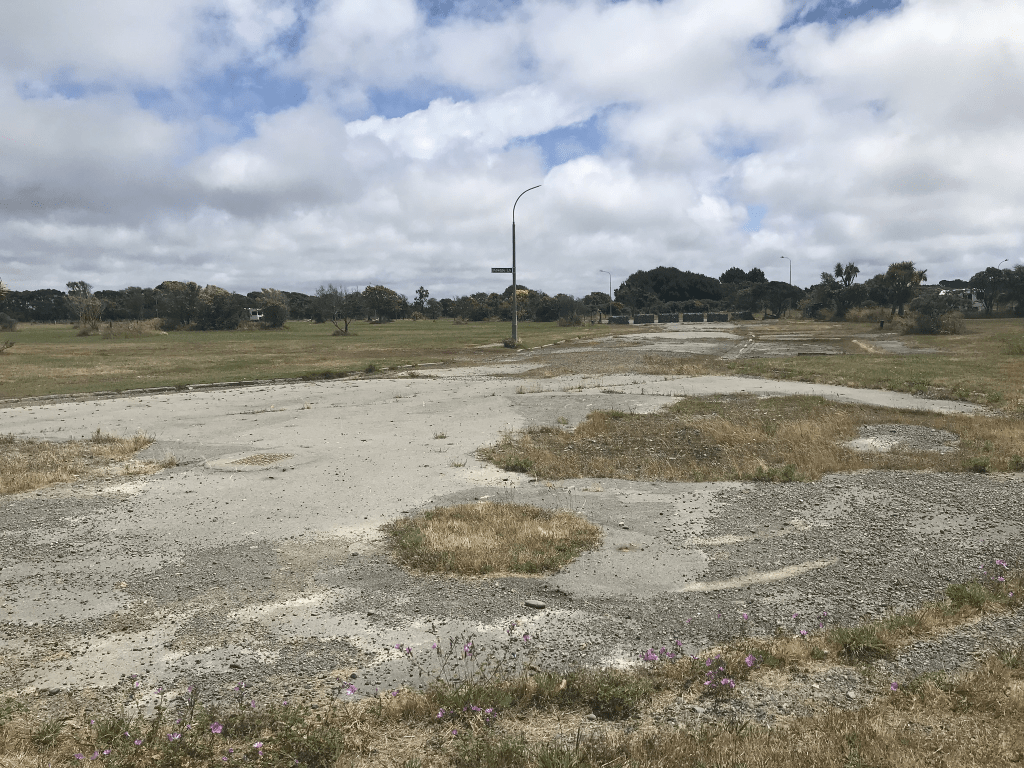
I walked this street on Boxing Day and there are no longer any houses here.

Parenga Place in the suburb of Bexley Red Zone, Christchurch

Parenga Place in Bexley Red Zone and nothing on library website. Papers Past had a few entries and it was a new subdivision in 1978. Found several ads for sections and houses for sale with many promoting river frontages. A couple of death notices.

Looking at street view for 2007 and there were some really nice houses here. There was a walkway that took you through to the walkway that followed the river. No longer any houses here and I walked this street on Boxing Day when I was geocaching in the area.

Ibsley Lane in the suburb of Bexley Red Zone, Christchurch

Ibsley Lane in Bexley Red Zone – Probably named after Ibsley in Hampshire. First appears in street directories in 1977. A tiny amount of information from the library website and it is definitely named after Ibsley in Hampshire. I found an article from 1978 where some councillors were objecting to street names. Councillor W J A Brittenden who had put forward several of the names being objected to said that they were all names from delightful villages in the New Forest area. I also found one death notice and a few ads on Papers Past. The ads said that the street ran off Mitcham Place which is why I went looking for the street. The street isn’t on any maps but I eventually found it on an old map from the 1980s. It is only because I was looking at Papers Past for Mitcham Place that I found this street. The area where the street used to be is well and truly fenced off.

Mitcham Place in the suburb of Bexley Red Zone, Christchurch

Mitcham Place in Bexley Red Zone and nothing on library website. The street was either named after a place in the UK or was someone’s surname. I managed to find several ads on Papers Past for this street and most of the houses were built in the 1980s. At the end of the street there was a walkway through to Mitchem Reserve. After the earthquakes there was a story about a family having their possessions stolen by looters.

Another street that I couldn’t see on Christmas Day and went back there today to check it out. This area is fenced off with warning signs about asbestos and there is no evidence that there were ever any streets or houses here.

Sopley Lane in the suburb of Bexley Red Zone, Christchurch

Sopley Lane in Bexley Red Zone – Probably named after Sopley in Hampshire. First appears in street directories in 1981.

A tiny amount of information from the library website and I was surprised that the library had information as the larger street that it runs off isn’t mentioned on the library website. As Sopley is on the edge of the New Forest I have probably been here as I did work in the New Forest area a couple of times.

This is another street that I managed to miss on Christmas Day and I went back today to doublecheck. There is no evidence that this street ever existed and the area has been fenced off with asbestos warning signs on the fence. I did manage to find it on maps and and on street view from 2007 it looked like someone’s driveway and there wasn’t a footpath. My photo is the same as what I used for Fordingbridge Lane.

Fordingbridge Lane in the suburb of Bexley Red Zone, Christchurch

Fordingbridge Lane in Bexley Red Zone and nothing on library website. It was probably named after Fordingbridge in England and I was so sure that I had found a cache here but couldn’t find it when I checked my app. I couldn’t find this street on either google maps or Apple maps but did find street view from 2007. Edited to say that I eventually found it on maps. It was a tiny lane that looked like someone’s driveway. Street was possibly developed in the 1990s but couldn’t find much information.

I managed to miss this street when I walked here on Christmas Day so I went back today to have a look. No wonder I missed it as there is no evidence of any streets here plus most of the area is fenced off with big warning signs about asbestos. I just took a photo of the general area and the photo shows the area where three streets used to be.

Marigold Lane in the suburb of Bexley Red Zone, Christchurch

Marigold Lane in Bexley Red Zone – First appears in street directories in 1993. A tiny amount of information from the library website and I was surprised that they had some information. The library doesn’t mention many of the nearby streets.

I couldn’t find out any more information and the street doesn’t show up on google maps but it is on Apple maps which is the only reason that I knew that there had been a street here. I managed to find street view for it from 2007 but it just looked like someone’s driveway. When walking here on Boxing Day I wouldn’t have known that there had been a street as there isn’t a signpost or any other evidence of a street.

Otakaro Place in the suburb of Bexley Red Zone, Christchurch

Otakaro Place in Bexley Red Zone and nothing on library website. I couldn’t find out any information about this street. Not even an earthquake story. The street runs off Velsheda St and at the end of the street there was a walkway that led to the walkway that follows the river. I found street view from 2007 and there were some nice houses here. Between the style of houses and the fact there was a footpath on only one side of the street it was possibly developed in the 1990s. I had been geocaching in the area. Obviously there are no longer any houses here.

Wetlands Grove in the suburb of Bexley Red Zone, Christchurch

Wetlands Grove in Bexley Red Zone and nothing on library website. I couldn’t find out much information about this street and the houses that were here possibly had been built in the 1990s. There were a couple of articles online about the earthquakes. The street runs off Anzac Drive and it isn’t blocked off so I was able to drive along it and park up. I parked near the entrance to Harold Henry Park. At the end of the street there was a walkway that led to the walkway that follows the river. All the houses have been demolished here but I couldn’t get over how many campervans were parked up on the street. They were everywhere. I think that the name of the street is a big clue as to why the land was so badly damaged in the earthquakes.

Waireka Lane in the suburb Bexley Red Zone, Christchurch

Waireka Lane in Bexley Red Zone and nothing on library website. If I hadn’t taken a photo of the sign post with the street name I wouldn’t have known that this street existed. It doesn’t show up on current maps but I eventually managed to find street view from 2007. It was a tiny lane and the houses looked like 1990s style. The lane ran off Seabreeze Close but I couldn’t find out any information about it.