Cooke Street in the suburb of Somerfield, Christchurch

Cooke St in Somerfield – Named after Frederick Riley Cooke (1867- 1930). Cooke was a tailor, socialist, trade unionist and Christchurch City councillor 1920-1930. Developed in a state housing area in what was Spreydon in 1937. Named in 1937. First appears in street directories in 1940.

A small amount of information from the library website and I found the same article the library website mentioned. Papers Past had an ad in 1938 about the State Houses being available for rent. Lots of death notices on Papers Past and a couple of birth notices. The best street competition had a few mentions.

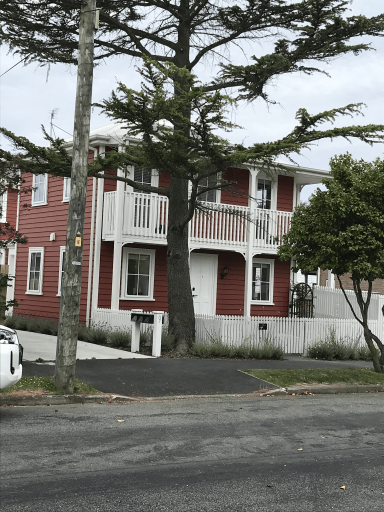
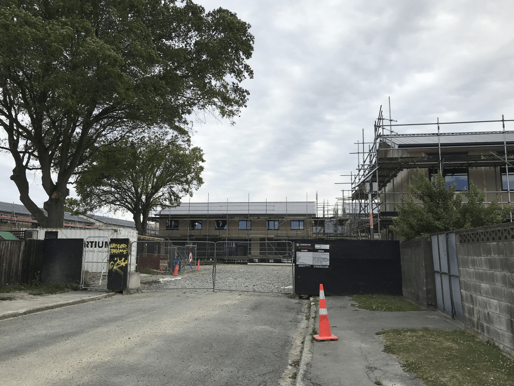
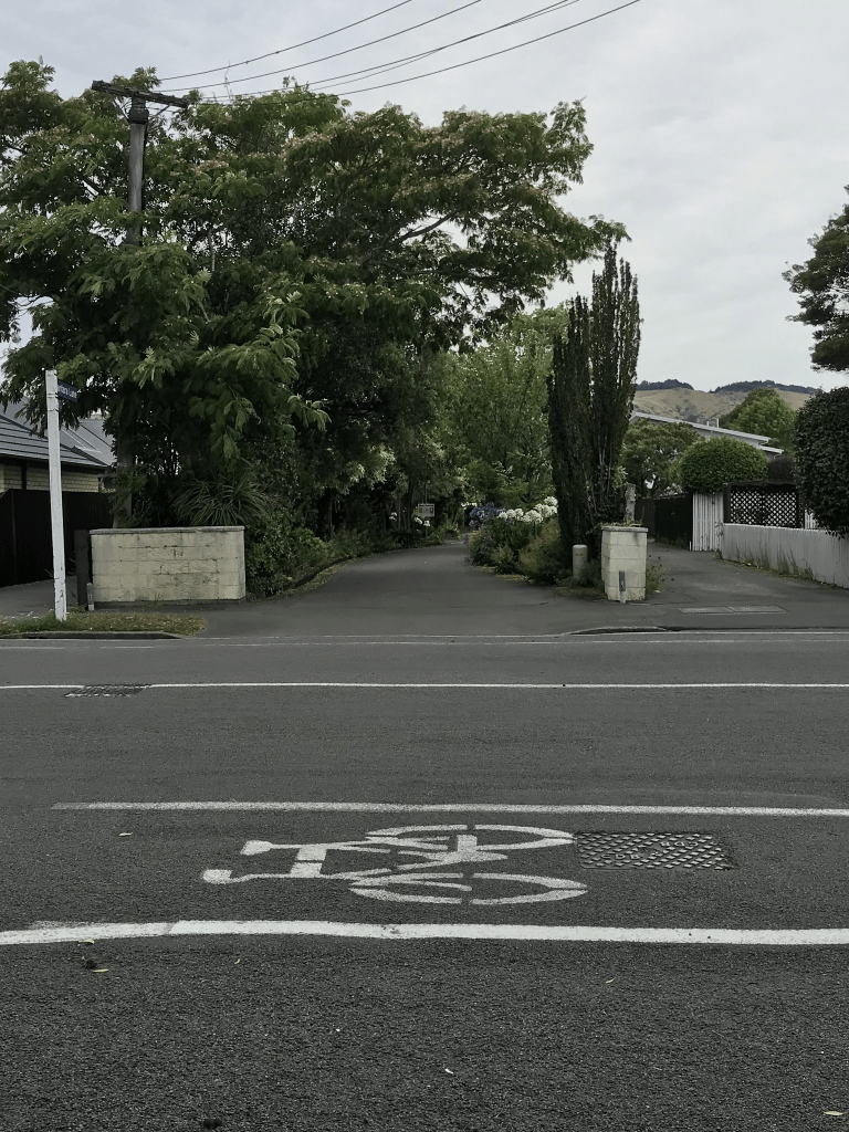
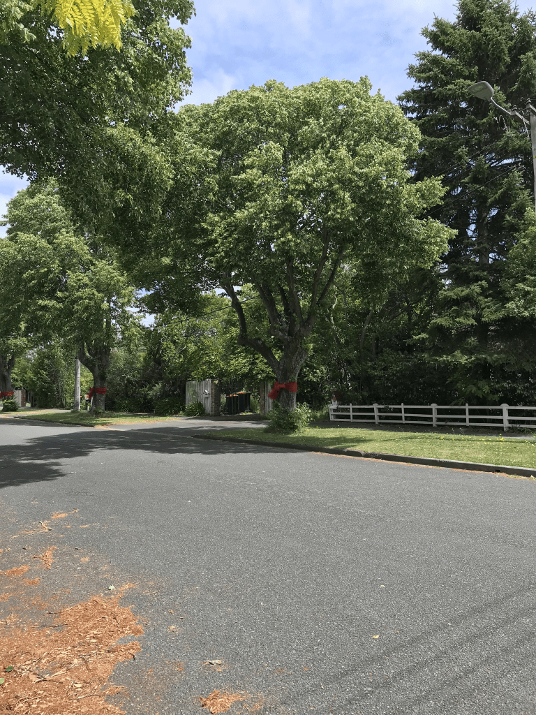
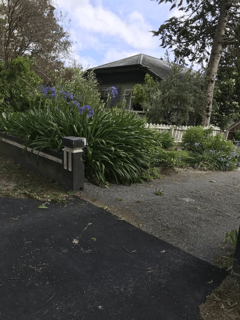
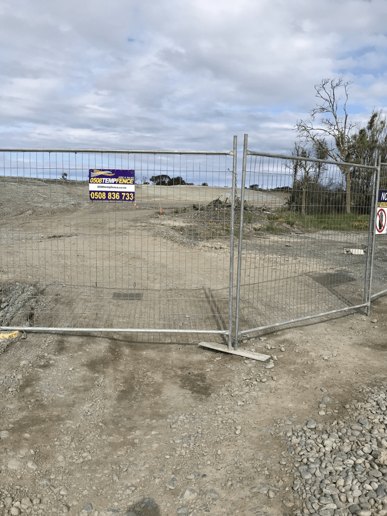
Most houses on this street were built in the 1930s and they do have an obvious 1930s State House look about them. There is also a block of houses built between 2020 and 2023 and looking at street view the houses that were demolished to make way for these developments also looked like they were 1930s State Houses. Most of the houses on this street are now privately owned but none of the houses from the 1930s stood out for me. The one that did stand out was built in 2023 and I don’t usually like modern houses but this one was built by the developers whose style I quite like.

Carey Street in the suburb of Somerfield, Christchurch

Carey St in Somerfield – Named in 1941, when the tender of Mr J. L. Gant for the building of eight blocks of cottage homes for aged persons, comprising 32 units, was accepted by the Christchurch City Council. The cottages were to be on property in Dunn Street where a new street was to be constructed named Carey Street. First appears in street directories in 1943. No residents are listed.

A reasonable amount of information from the library website. The street was probably named after a government official but I couldn’t find out who it was named after.

Papers Past had a large number of death notices for this street but considering it was for pensioners this isn’t surprising. There was a brief article about an elderly woman who was found dead in one of the units. In 1984 there was several articles about the units being revamped. Then in 1985 the articles were about them no longer getting revamped because of Government funding being cut. More recent articles were about the units being uneconomic to repair and that the Carey St Social Housing was closed. As late as 2023 there was talk about affordable housing being built on the street but no one seemed to be able to work out the best way of doing this.

When I walked this street today the old units have obviously been demolished and there are new units being built. When I looked at street view the old units were on big sections. There were originally 32 units on this land and I imagine that they will probably build double that number.

When looking at Papers Past I kept finding articles about a horse called Carey Street. I also found out that in the UK / England the term on Carey Street was frequently used for someone who was bankrupt. This was because the bankruptcy court was on Carey Street in London.

Selsey Lane in the suburb of Somerfield, Christchurch

Selsey Lane in Somerfield – Probably named after Selsey, a town and civil parish in the Chichester district of West Sussex. First appears in street directories in 1976. A tiny amount of information on the library website and I couldn’t find any information on the naming of the street. The street is where 130 and 132 Studholme St used to be but I couldn’t find any information for those addresses. Not much information on Papers Past. Several ads for houses especially in the late 1970s and early 1980s. A few death notices. Most houses here were built in the 1970s and made from summerhill stone. There were a few houses from 2016 as well. I only walked a small part of the street as the footpath only goes part of the way along the street.

Saskia Lane in the suburb of Somerfield, Christchurch

Saskia Lane in Somerfield and nothing on library website. The street runs off Selwyn where 101 and 103 Selwyn St used to be and all the houses were built in the 1990s. I suspect that the street is named after a person but without a surname it is harder to find. In the 1920s the property at one of those addresses was a poultry farm but from 1940s onwards it seemed to have been a market garden. In 1984 there was a big garage sale of household items at one of the addresses.

I only walked part of the street as the footpath only goes part way along the street. The houses are mostly made from brick which was a common building material for the 1990s. It looked like it would be a pleasant street to live on.

Kantara Lane in the suburb of Somerfield, Christchurch

Kantara Lane in Somerfield and nothing on library website. This tiny private lane runs off Somerfield St and it doesn’t have a footpath. All the houses were built in the 1980s and all but two of the entries on Papers Past were real estate ads. There was one death notice and the other entry was about someone winning a house on this street. In 1984 a woman from Addington won a townhouse worth $95,000 in a lottery. The lottery was a fundraiser for the Society for Intellectual Handicapped. Just to be confusing Google maps also have this lane running off Ashgrove Tce but that is incorrect as what they have labelled as Kantara Lane is actually the driveway for houses at 297 Ashgrove Tce. My Apple maps have it correct which is amusing after the fun we had with Apple maps a couple of years ago.

Moana Street in the suburb of Somerfield, Christchurch

Moana St in Somerfield – formerly part of Tainui Street. First mentioned in The Press in 1936. First appears in street directories in 1938.

A tiny amount of information from the library website. Not much information on Papers Past and I only looked at Moana St and not from when it was Tainui St. It was too confusing to try and separate what entries related to this street and what entries related to the part of the street that kept the Tainui St name. The street became Moana St in the 1930s. There was mostly ads on Papers Past with a few death notices. A young girl was attacked and indecently assaulted in 1976 when she was walking home from Girl Guides.

This is a lovely tree lined street and today when I walked it every tree had a big red ribbon around it. It looked lovely. At least five of the houses date from 1910 and they are gorgeous. The rest seem to be 1930s or 1990s.

Darley Street in the suburb of Somerfield, Christchurch

Darley St in Somerfield – Named in 1931 at the suggestion of the trustees in the estate of J. L. Scott. First appears in street directories in 1936.

A tiny amount of information from the library website. J L Scott was John Lee Scott and he had an iron foundry Scott Bros with his brother George. J L Scott died in 1913 but his widow didn’t die until 1925. It would have been after her death that the road was formed. Darley was a bit confusing at first as the only Darley that I could find was in Yorkshire and J L Scott was from Derbyshire. Darley in Derbyshire is now known as Darley Dale. I only briefly looked at J L Scott as he sounded like a nice respectable man with no scandals in his life which was unusual for many of our early settlers who have streets named after them.

I was geocaching in the area today and this is a pleasant tree lined street with some lovely houses. More than half the houses here date from the 1930s. Papers Past had many entries relating to beautiful street awards. Several death notices. Many of the ads for houses say that the suburb is Lower Cashmere which is fairly common for this area. In 1931 there was an entry to say that the new proposed street between Barrington St and Tainui St to be named Darley St. People obviously got confused as there was an entry in 1936 that mentioned the confusion and that Darley St and Tainui St were not clearly defined. The article stated that Tainui St runs off Somerfield St. Darley St runs off Barrington St to the new portion of Tainui St. The part of Tainui St that used to run off Barrington St to be renamed Moana St. I need to look at old maps just to satisfy my curiosity plus I like old maps. Edited to say that I did look at old maps and one from 1930 had the street as Scott St which would have been very confusing as there was already a Scott St only a few blocks away. That Scott St was named after the J L Scott and his brother.

Waitaki Street in the suburb of Bexley Red Zone, Christchurch

Waitaki Street in Bexley Red Zone – High Street was incorporated into Wai-iti Street and both were incorporated into Waitaki Street. High Street first appears in street directories in 1916. Wai-iti Street first appears in street directories in 1921. High Street was incorporated into Wai-iti Street in February 1933 by the Public Utilities Committee of the Heathcote County Council. It was re-named Waitaki Street the next month as there was an existing Wai-iti Terrace in Fendalton. Waitaki Street first appears in street directories in 1934.

A reasonable amount of information from the library website. A wee bit of information on Papers Past but mostly death notices. I found the same information about the name change for the street. At least one drowning but this was something that this area was a bit prone to being so close to the river. Flooding was another frequently problem. For some reason minor fires was a problem on this street. The corner of Waitaki St and Pages Road had a lot of accidents. There was a big write up in 1974 about a development called Kirklands Estate where 310 houses would be built including on this street. This never happened because of a change in government. The playground in Harold Henry Park gets a few mentions. I also found a more recent article online about the playground equipment in the park. Various organisations for children wanted to take the playground equipment and utilise it elsewhere but the council wouldn’t allow this. After about four years the organisations were told that the equipment wasn’t safe because of the lack of maintenance and it was destroyed. The organisations were a bit vocal about this.

I started my walk at the Wetlands Grove end of Harold Henry Park and the path takes you to Waitaki Street. I finish my walk at Pages Road as I can’t walk the rest of the road. Waitaki Street between Pages Road and Bexley Road it blocked off by high fences. Looking at street view from 2007 the houses here covered most decades especially between 1950s and 1970s. There were about three art deco houses and a couple of 1920s wooden villas. It looked like it had been a pleasant street with some nice gardens.

Wairoa Street in the suburb of Bexley Red Zone, Christchurch

Wairoa Street in Bexley Red Zone – formerly Wainui Street. Wainui Street appears in the Methodist marriage church register in 1914 when Elsie Mary Hall of Wainui Street, New Brighton married George Ellis. At the time Bexley would have been popularly considered part of New Brighton although it was outside the borough. Wainui Street first appears in street directories in 1948. Re-named Wairoa Street in 1950. Information about Bexley/New Brighton supplied by Richard Greenaway in 2010.

A reasonable amount of information from the library website and I am not going to disagree with Richard Greenaway as he is an excellent researcher.

Papers Past had a reasonable amount of information and under the name Wainui St there were death notices plus information about returning soldiers in 1918. In 1921 the estate of Edward Elliott was for sale and this included heifers, cows, farm machinery, a wagon and a dog cart. The sale also included buildings and land. There was and still is a Wainui St in Riccarton which is the reason for the name change in 1948.

The library website mentioned Elsie Mary Hall who married George Ellis in 1914. Her parents celebrated their Diamond Wedding Anniversary in 1951 and they had lived in the street for over 40 years. They were married in Melbourne. Mr Hall died a couple of years later in 1953.

Flooding was a problem in this street and it is close to the river. In 1973 it was decided that land was needed to create flood protection for the area. Land was acquired from local land owners to create what they called esplanade reserve.

This street starts at Pages Road and looking at street view for 2007 at this end the houses were only on one side of the street and the reserve with a walkway was on the river side of the street. Then I came to the only building on the street and it is probably a pumping station. I vaguely recall that there was a geocache here a few years ago. The road then meets up with Morganwood St and there is the entrance to Bexley Wetlands Reserve. Looking at street view for 2007 the houses here were mostly from the 1950s and 1960s but there were at least three art deco houses. A few houses looked like they were possibly from 1920s or 1930s. There are obviously no houses here any longer as this area was hit badly in the earthquakes.

Orari Street in the suburb of Bexley Red Zone, Christchurch

Orari Street in Bexley Red Zone – Regent Street and Raleigh Street. Regent Street first appears in street directories in 1928 with the alternate name of Raleigh Street. Re-named Orari Street in 1951.

A tiny amount of information from the library website. There wasn’t much information on Papers Past. The usual death notices. Under the Regent Street name there was one death notice and a couple of ads. Under the Raleigh Street name there was one death notice and one ad. In the 1960s there was erosion of the riverbank caused by speedboats going at excessive speeds. Over the years there were various businesses on this street. Tapper Printing Company, Frank and Bryce Ltd and Bradford Dye Works. Trade Aid (NZ) Inc was also here and occasionally the road was closed so that they could have a fair.

I only walked art of this street as there is a section that is impassable unless you have gumboots. It is by the Kia Ora Street intersection and Kia Ora Street is impossible to walk because of the water. You also don’t know what potholes or open drains are hidden under the water.

Street view from 2007 show a pleasant looking street and the houses seem to have covered most decades especially the 1950s and 1960s. A couple looked like they might have been from the 1920s. There was also a pumping station on the corner of Orari St and Waitaki St. Further along the street towards Bexley Road there had been a large building that most likely housed the various businesses that had been on the street. There is obviously no longer any buildings on this street because of the earthquakes.