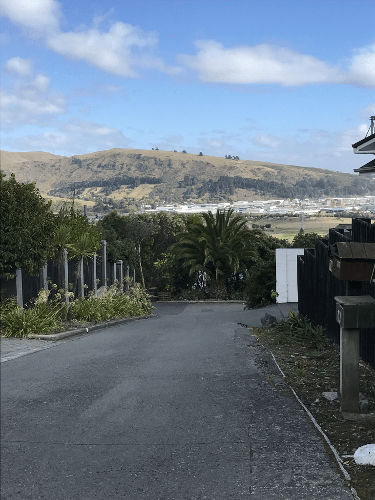
Repton Street in the suburb of Merivale, Christchurch

Repton Street in Merivale – Named after Repton School in Derbyshire. One of a number of streets in the area named after English public schools. First appears in the Star in 1905 when “cheap building sections” in Repton Street are advertised for sale. First appears in street directories in 1910.

A small amount of information from the library website. A reasonable amount of information on Papers Past. There were lots of birth and death notices plus ads for sections and houses. One death notice in 1920 was for W A M Musgrove a builder and contractor. He was only 46. The social notices were fairly busy. In 1955 the McLean Institute purchased a house on this street as temporary housing for their residents from the Manchester St property.

Most houses on this street were built in the 1960s and 1970s. There was an interesting one from the 1990s. There are a couple of houses from 1905 that are in good condition but the other one from 1905 I suspect has now been demolished. There is a new house being built there. A mixture of styles with a few ugly ones. There is one from 1920 which is in a neglected condition which is a pity as I think it would be gorgeous if it was repaired. I could only find street view from 2015 which is unusual.

Naseby Street in the suburb of Merivale, Christchurch

Naseby Street in Merivale – Named after Naseby Church of England School, Northamptonshire. One of a number of streets in the area named after English public schools. “Cheap” building sections

in “Naseby Street in the Merivale Estate” are advertised for sale in the Star in 1905. First appears in street directories in 1906. [37 Naseby Street was the home of William Sefton Moorhouse (1825?-1881), a lawyer and politician, who became the provincial superintendent.]

A small amount of information from the library website and I don’t know why they have a question mark by his year of birth. Lots of information online for William Sefton Moorhouse.

A reasonable of information on Papers Past especially in the social pages. There were lots of ads in 1905 for sections on this street. Between 1910 and 1912 Santa Cruz Private Maternity Hospital also known as Nurse Cowper’s Home was on this street. It had moved to Carlton Rd by 1914. The Todhunter family was frequently mentioned and Mrs Todhunter often held garden fetes in her garden. She also seemed to have open house for visitors from the countryside. In 1909 Eva Veronica von Haast the only daughter of Sir Julius von Haast died at Mrs Todhunter’s house. Another family that was mentioned was the Ballins family. Bernard Ballins set up a cordial manufacturing business in Christchurch and it was called Ballins Brothers but was eventually called Ballins Brewery. Selwyn House School set up a boarding house on this street in 1935 but it quickly became too small and moved to Papanui Rd.

The houses here date from 1880 to 2023 and I couldn’t get a decent of the house from 1880 but it looked lovely. The house from 1905 is gorgeous. Many houses here were built between the 1950s and 1970s. There was a mixture of house styles with some lovely older houses and ugly modern houses. Not all of the modern houses were ugly. It looked like a pleasant street but another one that would be beyond my budget.

Hewitts Road in the suburb of Merivale, Christchurch

Hewitts Road in Merivale – Named after James Hewitt (1838-1919). Hewitt bought six acres in Papanui Road in 1872, part of Rural Section 52, from John Toft Wingfield. Hewitt’s Road was developed through this land in 1875. First mentioned in the Star in 1884 when a house is advertised for sale there. First appears in street directories in 1887.

A small amount of information from the library website and I found an entry as early as 1874 in Papers Past. It was a request from the residents to the Road Board asking for the road to be formed. In 1875 the Road Board had ads regarding tenders for forming the road. Note whenever the Road Board mentions forming a road it frequently meant metalling an existing dirt road. There were sections for sale in 1878 but most ads for sections were in1880. There had been complaints about the pigs on the property of Samuel Dennis and in 1878 it was reported that he no longer had any pigs. I was therefore amused to find complaints about him in 1900 for keeping poultry on his property. Many of the ads for sections and houses on this street said that it was the driest and healthiest suburb in Christchurch. Christchurch had a huge problems with illnesses and deaths from diseases caused by stagnant water. From 1879 onwards there were several ads for The Mrs Barnett’s Preparatory School at her residence Clissold. I will now have to go back and walk Clissold St. This property was for sale in 1916 and 1918 and it sounded like a huge property. It was described as a grand old home known as Clissold and had extensive gardens with fruit trees. More complaints in 1906 and this time it was about the smell from the sewers plus the state of the footpaths and street from the cows that were driven along the street. Rangi Ruru School moved to this street in 1923 and this school had been established in 1889. There had been a reserve on this street and in 1946 this land was sold to Rangi Ruru School. Not everyone was happy about this.

I couldn’t see any evidence that James Hewitt actually lived on this street as she lived on Park Terrace. I was surprised that I couldn’t find an obituary for him.

I walked this street today after visiting the school. The school takes up a big part of the street and it has a mixture of new and old buildings. The houses here range from 1890s to 2022s. The 1990s and 2015 to 2017 saw most of the houses being built on this street. I couldn’t find street view from before 2012 which is unusual. There are still some lovely older houses here but the one from 1900 is in a very sad state. There was another house in a fairly bad state but I couldn’t get a good look at it. It is still occupied which was a surprise. I wouldn’t be surprised if the house from 1890 is eventually demolished which would be sad as it looked OKish. The modern houses ranged from OK to ugly. It was a pleasant street but probably beyond my budget plus parking would be terrible during the week.

Te Awakura Terrace in the suburb of Mt Pleasant, Christchurch

Te Awakura Tce in Mt Pleasant – Named after the Te Awakura creek at Moncks Bay. Named by Walter de Thier (1883-1973) who owned the land at Moncks Bay where the creek flowed. First appears in street directories in 1939.

A small amount of information from the library website. I found two spellings for this street. Some maps had Te Awakura Tce and others had Te Awa Kura Tce. The street wasn’t on the 1922 map but it was on the map for the 1930s. Papers Past also had both spellings. Several birth and death notices in Papers Past. Sections were for sale as early as 1943. In 1945 Geoffrey de Thier was living on this street and in 1948 houses on this street were damaged by a grass fire on the hill. The two most interesting articles involved cars falling onto houses. In 1958 a car landed in the backyard of a house after rolling down a driveway. In 1964 a delivery van delivering a parcel to an address on this street managed to land on the roof of a house on the Main Rd. A crane was required for both situations to remove the cars.

This street twisted and turned and was intersected by St Andrews Hill Rd and is very narrow with no footpath. The houses here cover every decade from the 1930s and there was at least one art deco style of house. One house that I liked was built in the 1990s. An interesting street but parking would be a nightmare.

The Brae in the suburb of Mt Pleasant, Christchurch

The Brae in Mt Pleasant – Named after The Brae, the Scottish home of Robert Taylor Smith (1891?-1956). Smith was for many years a motorman on the Sumner tram route. First appears in street directories in 1940. Smith is a resident

A small amount of information from the library website. A quick check on the Ancestry website and Robert Taylor Smith lived at 18 St Andrews Hill until 1941 and after that his address was 23 The Brae. He was possibly living in the same house but the address changed. Papers Past had several ads and death notices. In 1962 there were several articles regarding the status of the road. The situation had started in the 1950s where the council requested that they take over the road. In early 1962 the government had refused to allow the council take over the road as a public road. It was still a private road at this stage. It was still being discussed in November 1962.

This is a narrow street with no footpaths and very little parking available. There are only 22 houses here and two are from 1920 including No 23 which was Robert Smith’s address. I couldn’t see these older houses as they were off the road up a high bank. Houses cover most decades and several are recent rebuilds.

I did wave to a man sitting in the lounge of one of the houses and he either didn’t see me or ignored me as he didn’t realise who I was. Great views from this street but the lack of parking puts me off.

Rangatira Terrace in the suburb of Mt Pleasant, Christchurch

Rangatira Tce in Mt Pleasant – formerly part of Part of Major Hornbrook Road. First appears in street directories in 1947.

A tiny amount of information from the library website. Not much information on Papers Past apart from ads for sections and houses. The earliest entry was in 1951 was about a house that had been built and consent rules weren’t followed. I didn’t look at entries for Major Hornbrook Road as I couldn’t work out which ones would have been for this part of the street. On old maps the street was Major Hornbrook Rd on the map for 1950 but Rangatira Tce on the map for 1958.

I actually walked most of this street in February and there are houses on only one side of the street. There is a park on the other side of the street. There are only 5 houses here and one dates from 1920. When I went to write this street up in February I realised that I had missed part of the street. It looks like it ends by the park but when checking maps I realised that it goes all the way to the Main Rd. Today I walked from the Main Rd and that part it is now a walkway until you get to near the tennis club.

Hilltop Lane in the suburb of Mt Pleasant, Christchurch

Hilltop Lane in Mt Pleasant – Named because it runs to the top of Cannon Hill. Named by the developer, Cannon Estate Ltd. First appears in street directories in 1964.

A small amount of information from the library website. The developer gave the same information in an article on Papers Past.

There were a few ads for houses in Papers Past. The rest of the articles on Papers Past were confusing. In 1968 an application for tearooms at the intersection of Summit Rd and Hilltop Rd, Mt Pleasant was declined. In 1988 Hilltop Lane Reserve was to be taken over by the Mt Pleasant Community Centre. Another article mentioned Hilltop Lane off Summit Rd.

This lane is a tiny lane that doesn’t go to the top of Cannon Hill and I checked old maps but they didn’t help. I couldn’t find any street called Hilltop Lane going to the Summit Rd. I couldn’t find a reserve near Hilltop Lane. I checked details of nearby streets and couldn’t find any evidence that they were called Hilltop Lane. I think that a visit to archives is required to solve this mystery.

There is only 18 houses here and only about 6 of them date from the 1960s. The rest were rebuilt after the earthquakes. There are still a couple of empty sections. The rebuilt houses seem to be mostly made of glass and they do have great views. I ended up chatting to a local and she said that it is a lovely and friendly street to live on. She also said that it was a mess after the earthquakes.

Janice Place in the suburb of Mt Pleasant, Christchurch

Janice Place in Mt Pleasant – Named after Janice Macleod, née Moore. Janice Macleod is the daughter of Samuel James Moore (1898- 1978) of B. Moore & Sons Ltd. He was a member of Cannon Estate Ltd, the company which subdivided Cannon Hill. First appears in street directories in 1970.

A small amount of information from the library website and nothing that I can add about the name. There was an article in Papers Past about the naming of streets written by one of the developers. Papers Past mostly had ads for the sale of sections and houses plus a few death notices.

Most houses here were built in the 1970s and 1980s but there were a few built more recently. There were a couple of houses that I quite liked. It looked like a nice street with nice gardens and there was a footpath on both sides of the street. Trouble was that the footpath was frequently blocked by cars parked on it. There was a walkway at the end of the street that led to Clementine Lane.

Hobday Lane in the suburb of Mt Pleasant, Christchurch

Hobday Lane in Mt Pleasant – nothing on library website for this street.

I suspect that this tiny lane was named after a person but I couldn’t find anyone with that name who lived here. Papers Past mostly had ads for houses and sections. The houses here were built in the 1980s and I didn’t actually walk this tiny lane as it just looked like a private driveway.

Clementine Lane in the suburb of Mt Pleasant, Christchurch

Clementine Lane in Mt Pleasant – Named after Clementine Way, a street in the Wellington suburb of Chartwell. Cannon Estate Ltd., developers of the subdivision where this street was formed, also developed Chartwell in Wellington. Chartwell in Kent, England was the family home of Sir Winston Churchill (1864- 1975) and his wife, Clementine. Named in 1967 and first appears in street directories in 1972.

A small amount of information from the library website and nothing that I can add about the name of the street.

Not much information on Papers Past and there was mostly ads for houses and sections plus a few death notices. Most houses here were built in 1970s but most looked more modern. There wasn’t a footpath on this street but it was a narrow one.