Gallantry Lane in Halswell and nothing on library website. The council website just had the name and nothing about the reason for the name. Gallantry means courageous behaviour especially in battle. This street is near Valour Lane and there has to be a connection.
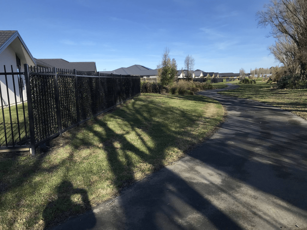
Edited as I have found out the reason for the name of the street. The streets in the subdivision at 340 Halswell Junction Road have been named after the young men who are on the Halswell War Memorial. They all died in World War One.
There are 8 houses here built between 2019 and 2022 and they all seemed to look exactly the same. There wasn’t a footpath
Stubberfield Street in Halswell and nothing on library website. The council website only gives the name of the street and not the reason for the name. The council website also called it Stubberfield Lane but maps and signpost says street. On Papers Past I found John Harvey Stubberfield of 366 Halswell Junction Road where this subdivision was developed. He died in 1982 aged 57 and the property was then sold. He grew vegetables plus had fruit trees. He had been a blacksmith in Leeston at one stage. He never married and is buried with his parents at Bromley cemetery. There are 7 properties here with houses built between 2021 and 2023 with at least two empty sections. There was one house with a few interesting garden decorations but didn’t manage a photo of them.
Valour Lane in Halswell and nothing on the library website. The council website didn’t give a reason for the name of the street. Valour means great bravery. I did look for the surname Valour on ancestry website but couldn’t find anyone in New Zealand with that name.
Edited as I have found out the reason for the name of the street. The streets in the subdivision at 340 Halswell Junction Road have been named after the young men who are on the Halswell War Memorial. They all died in World War One.
There are 8 houses here and they all looked exactly the same. They were built mostly built in 2019 but a couple were built in 2021. It is a narrow lane with no footpath. At the back of the houses there is a walkway and a reserve called Bill Harvey Park.
I didn’t manage to get a decent photo but one of the houses was using the back fence as a clothesline.
Liquidambar Street in Halswell and nothing on library website. The council just gives the name of the street but not the reason for the name. Liquidambar is a flowering cherry tree. I was surprised that the valuation website only showed one house as there are several houses here. I found an article dated May 2023 which explained everything. The article was about a petition that nearby residents had presented to the council with their objections to social housing being built here. The petition was declined and there are 17 social housing units here. This does explain a slightly weird incident that I saw when I walked this street. One of the residents in one of the social housing units obviously didn’t want to speak to the man knocking on their door. The man peered through the windows before getting back into his car and speeding off.
Olearia Lane in Halswell and nothing on library website including the new and unimproved website.
The council website didn’t give a reason for the name but Olearia is a variety of a daisy. Only 8 houses here built in 2022 and 2023 and it is too new for street view. No footpath and I only walked a tiny faction of the street. It felt too much like a driveway. Nothing stood out for me here.
Akiraho Lane in Halswell and nothing on library website. This includes the new library website for street names. Note when I spoke with staff at the library a couple of years ago I was told that all new streets would be included when they revamped the website.
The council website just said that this will be the name for the street but not why. Akiraho is a plant. There are ten houses here built in 2022 and 2023. I didn’t walk it as it just looked like a driveway and the only way I figured out that it was a street was because it had a sign post.
Korokio Lane in Haswell and nothing on library website. This includes the new and so-called improved website. The council website just said that the name had been approved but not why. Korokio is a plant.
Only 7 houses here built in 2022 but street view for 2021 shows at least one house almost finished. I didn’t actually walk it as it just looks like a private driveway. There is a walkway next to it which goes from Halswell Junction Rd to Bill Harvey Drive. No photos as the houses didn’t stand out for me. Boring was the word that popped into my head.
Cannon Hill Cres in Mt Pleasant – Named because it runs through Cannon Hill which, in turn, is named after the Cannon family. The Cannon Hill estate was owned by 3 generations of the Cannon family. Philip Henry Cannon (1846?-1927) was a runholder of the Heathcote Valley in 1914. First appears in street directories in 1964.
A small amount of information from the library website. There was very little information on Papers Past about this family. The family trees on the Ancestry website had very little information with lots of mistakes. The electoral rolls gave a bit of information and Philip Henry Cannon lived in Riccarton until 1907 and he was described as a gentleman. He was described as a sheep farmer when he lived in Heathcote. Philip Cannon purchased land originally owned by Frederick Sandford and this information was in Gordon Ogilvie’s book Place Names of Bank Peninsula and the Port Hills.
Not as much information on Papers Past for this street as I had expected. Lots of ads for sections for the 1950s, 1960s and 1970s. A few entries in April 1968 when a big storm destroyed new houses being built. Obviously this was the same storm that was responsible for the sinking of the Wahine.
The house where the Cannon family lived was called Tiro Moana and it is mentioned in Philip Cannon’s death notice in 1927. His wife Lousia died in 1930. After this date at least one of their sons lived at the property. Several ads in the 1930s for the property as it was a guest house by this time. In 1961 there was an application to convert Cannon Estate Homestead to a convalescent home. There were ads in the 1970s for St Andrews Residential Rest Home. I couldn’t find out when this rest home closed. There is an empty section where the building used to be and was probably demolished after the earthquakes.
There are 189 houses on this street and most houses were built between the 1960s and the 1990s. Several houses on this street were rebuilt after the earthquakes. It is impossible to describe the houses here as there were so many different styles and surprisingly not really any toilet block style here. Some were interesting houses and I quite liked them. Most had great views over the city. There is an entrance to the Mt Pleasant School on this street and a bit further on there is an entrance to the Old School Reserve. I will have to come back to explore the reserve. The road ends at the Bridle Path Road. This was a long street to walk and there were several wee streets and lanes that run off this street so I had fun exploring them on Sunday. I also met and chatted to several locals. In many places the footpath was only on one side of the street and for some reason when the footpath stopped on one side of the street and you had to cross the street to where the footpath continued it always seemed to be on a blind bend. Made crossing the street very tricky.
Valley View in Mt Pleasant and nothing on either the old or new library website. You would think that the new revamped streets information on the library website would added new streets but this hasn’t happened. Most houses on this street were built in the 1990s so it is hardly a new street. The name is obvious as there is a great view of Heathcote Valley from this street. No footpath but it is a private lane. Some interesting houses here and pity that I couldn’t get photos today. I had a great chat with one of the locals and it was a friendly street. One house obviously had problems with people parking on top of their garage.
Freeman Street in Mt Pleasant – Named after Frederick Willie Freeman (1881- 1969). Freeman, an engineer, was a long-time Heathcote County Council member and also chairman for five years. Named by the developer, Cannon Estate Ltd. First appears in street directories in 1964
A small amount of information from the library website. Papers Past had a few ads for the sale of sections plus 3 or 4 death notices. I found Frederick Willie Freeman’s obituary and he was a member of the Lyttelton Harbour Board. The obituary also said that building a road tunnel through the hill had been a 50 year dream for him. When I went googling for more information I found the official opening booklet for the road tunnel.
This street only has 6 houses on it mostly built in 1960s and 1970s plus one built in 2018. Seemed like more houses when I walked the street today but a couple of them had addresses on the nearby streets. Considering it is an older street it was surprising that the footpath was on only side of the street. Looked like a pleasant street.