Flavell St – Formerly Lee Street. Named after Alfred Lee Smith (1838- 1917). Re-named Flavell Street. Named after Charles Flavell (1871?- 1955) In 1873 Smith developed three streets in the Heathcote Valley, naming them Lee Street, Smith Street and Vogel Street. He operated a malthouse on the site. Lee Street was re-named Flavell Street in 1933 by the Public Utilities Committee of the Heathcote County Council at the request of the Post and Telegraph Department. Flavell was an original member of the Heathcote County Council which was formed in 1911.
A reasonable amount of information from the library website. Information from Papers Past has the council changing the name of the street to avoid duplication of street names. Alfred Smith’s malthouse was called Wincolmlee Malt Kilns. Flavell St forms a triangle with Marsden St and the Valley Inn sits in this triangle.
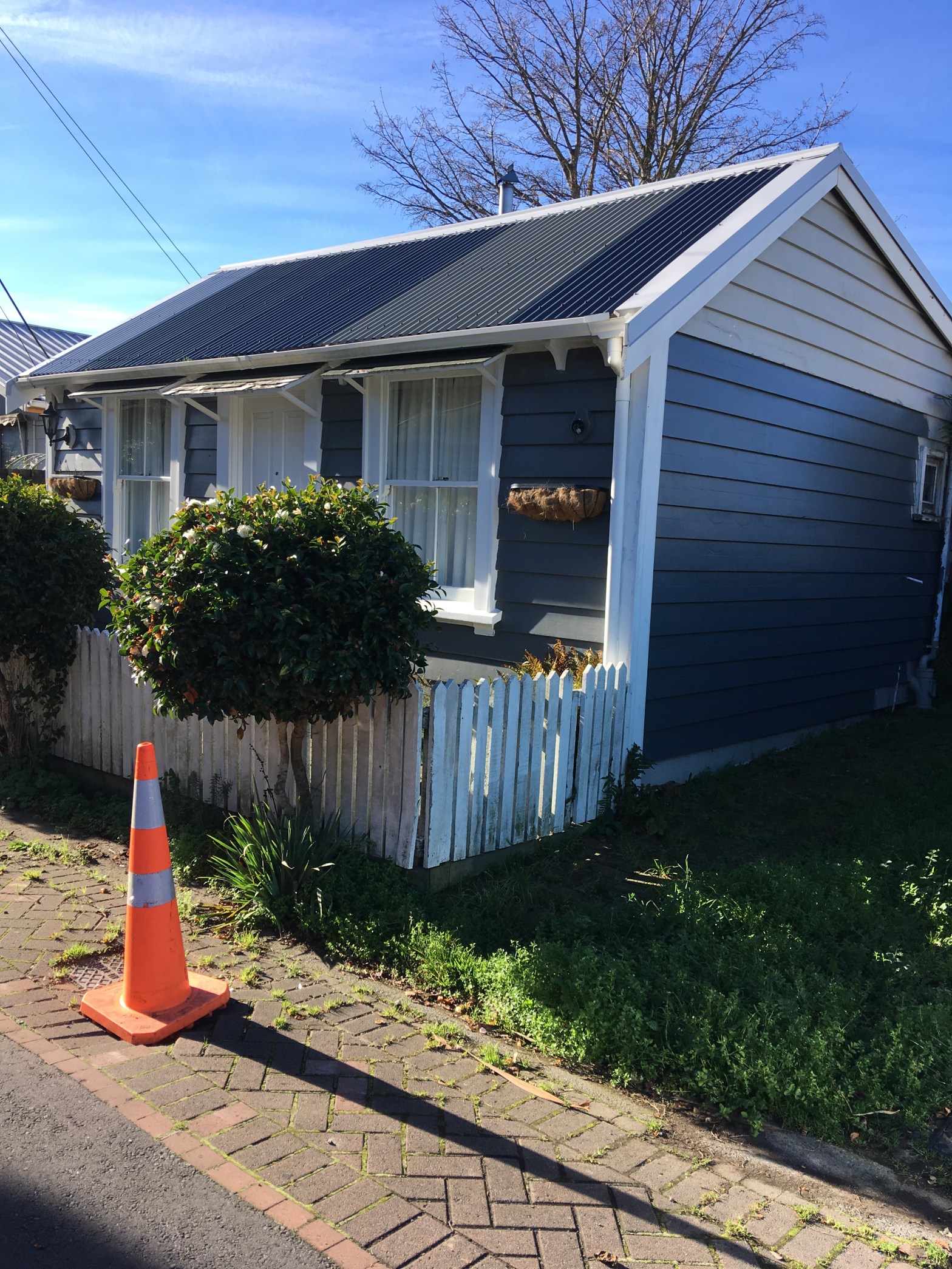
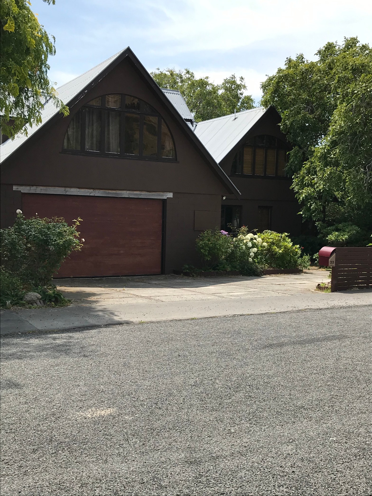
Another street with a mixture of new and old houses and the new houses will be rebuilds. The older house was in very poor condition with holes in the walls but it looked like it was being lived in. A couple of other houses were in a bit of a rough condition but not nearly as bad.I only managed one photo here and it doesn’t do justice to the house. I couldn’t decided it it was a new house or an older house done up. Either way it looked a bit odd.