Merrilees Place – Named after an historic name of one of the directors of the development company with origins in the Czech Republic. Developed by Keung Investments. Named in 2008.
A wee bit of information from the library website. This information makes no sense as it looks like all the original directors were from Asia. The current director has only been director since 2010. I can’t see where the Czech Republic fits in as Merrilees is a Scottish name. Checked an Ancestry website with no luck.Modern houses here and the street is a funny T-shaped and leads to a wee reserve.As usual with a modern cul de sac there was a footpath on only one side of the street.
Cypress Street in the suburb of Linwood, Christchurch
Cypress Street – formerly Part of Kearneys Road Probably named because it is near the cypress trees in the Memorial Park Cemetery. The section of Kearneys Road running from Ruru Road to Rudds Road was renamed Cypress Street on 24 April 1963. First appears in street directories in 1966.
A wee bit of information from the library website and I won’t be looking for any more information as this seems like a reasonable explanation for the name. Mostly brick houses in good condition. Houses on one side and cemetery on the other side. I am not used to walking through such a modern cemetery.
Richmond Hill Road in the suburb of Richmond Hill, Christchurch

Richmond Hill Rd – Named by George Humphreys (1848-1934) after he purchased the land where this road was formed from the estate of Mary Ann Rule (1875- 1909) in 1909. In 1960 the council decided that “Richmond Avenue, Richmond Hill, Richmond Hill Road and Richmond Hill Avenue should become Richmond Hill Road, the official name of the Sumner Road”.
A reasonable amount of information from the library website but it doesn’t say why he named it Richmond Hill. A very steep hill and it starts on the flat down in Sumner where the bowling club is. The road splits here and there are houses in a valley. The houses looked nice but I would hate to live here as you get very little sun, The footpath was narrow and in very poor condition and I frequently had to go onto the road as the lamp posts took up most of the footpath. Wasn’t helped by cars parked on the footpath. There was one section that had no footpath which was dangerous as when walking back down I met lots of school children walking up the road. Mostly new houses on this road and they will be rebuilds as the originals would have been destroyed in the earthquakes. As you got near the top of the hill it was all new houses as the road had obviously been extended and new subdivisions created. Many ugly wooden houses especially the higher you got. I don’t know the name of the building material for the others but the houses are white. There was one Spanish looking house with orange tiled roof. Lots of windows because of the views. There was one huge house that I would loved to have got photos of as it was so grand but the owners were outside. Several security gates here. At least one house had a swimming pool and others possibly did as well. Some interesting letterboxes on the lower part of the road where the houses weren’t so grand. It was hard work walking here as the hill was steep and not having a decent footpath didn’t help.
I have now looked up Richmond Hill in my Gordon Ogilvie book and he has that it was named after a song called Sweet Lass of Richmond Hill by Irish Poet Leonard MacNally and the song is about Leonard’s wife.
There was also a schooner called Richmond that sailed in NZ waters.
Whiterock Lane in the suburb of Richmond Hill, Christchurch
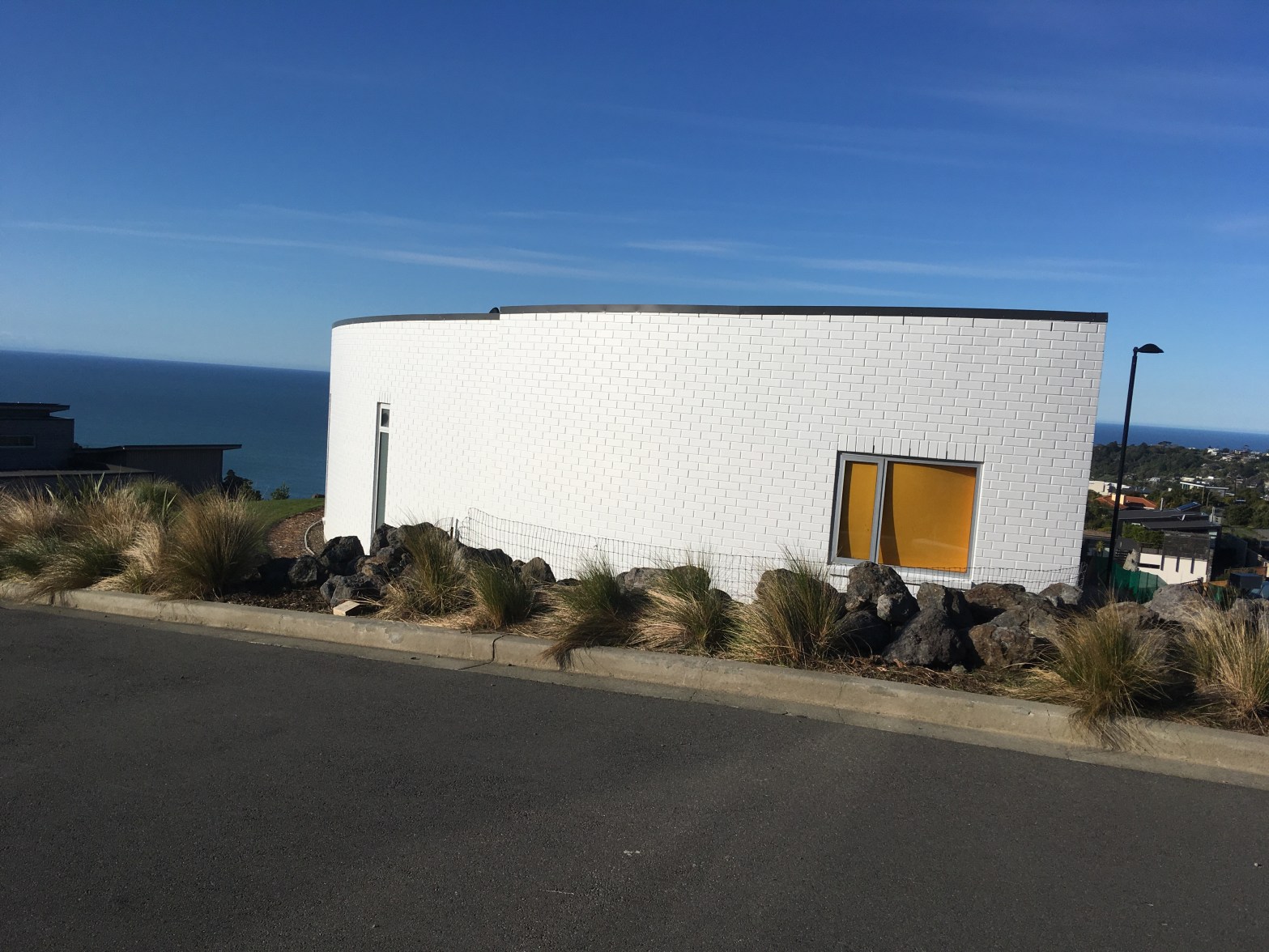
Whiterock Lane – Named after Whiterock, a racehorse. The Greenwood family has been involved in training racehorses for nearly a century, and proposed naming the roads in the subdivision after racehorses owned and trained by the family. Named in 2010.
I wasn’t expecting that information from the library website. I was expecting the street to have been named after rocks in the area. New houses here and most are for sale. My map showed that I could join a walkway here but the developer has blocked the access. Again wooden houses that look like toilet blocks or campground cabins, Get the feeling that I don’t like the houses in this area. I love the wood but the designs are so ugly. Lots of flat roofs on this street and surrounding streets. Took of a house that was on the corner of Whiterock Lane and Richmond Hill Rd as it was such a strange design. Again great views from up here.
De Thier Lane in the suburb of Richmond Hill, Christchurch
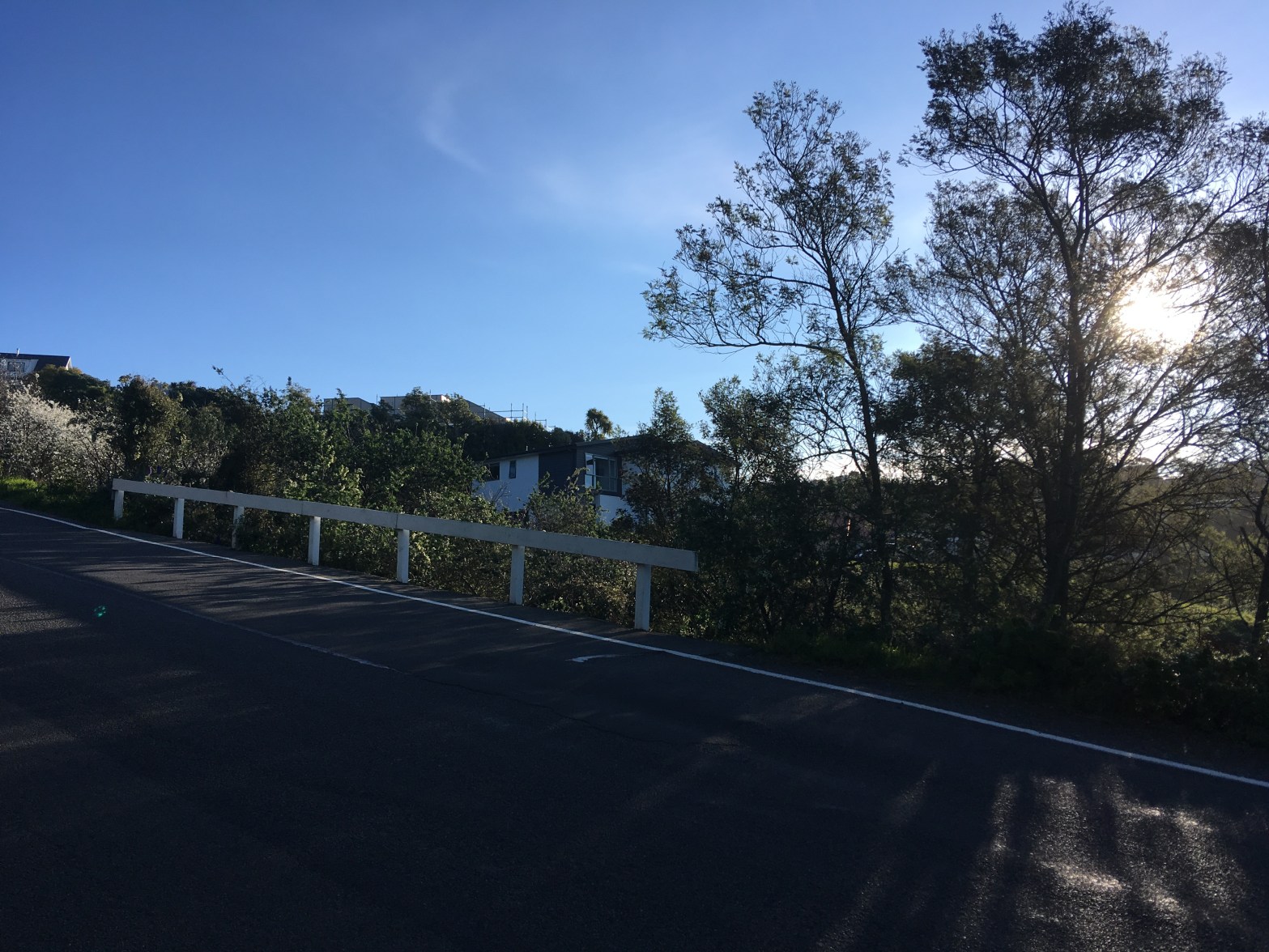
De Thier Lane – Named after Bret de Thier (1945-). De Thier was one of New Zealand’s most successful Finn-class yachtsmen. Walter de Thier (1883-1973) was his grandfather. First appears in street directories in 1996.
A bit of information on the library website and I have heard of Bret de Thier. My photo is taken from Richmond Hill Rd. Large modern houses on this street and it looks more like a driveway than a street so I didn’t fully walk it. Great views.
Elworthy Way in the suburb of Richmond Hill, Christchurch
Elworthy Way – Named after Commander John Churchill Elworthy (1907- 1986). Elworthy was a naval officer (retired) and farmer who lived at 35 Richmond Hill Road and later 116 Beachville Road. First appears in street directories in 1981.
Reasonable amount of information from library website. A short street with mostly new houses. A dog barked non-stop at me when walking here.
Sowerby Place in the suburb of Richmond Hill, Christchurch
Sowerby Place – nothing on library website about this street. It sounds like someone’s surname. Only a couple of houses at this stage but others were being built.
With further research found this information – Sowerby Place – It is a village in Yorkshire where the Greenwood family have lived for hundreds of years. Additionally, Austin Mitchell, the MP for Great Grimsby and who is well known to New Zealanders, has a summer home in Sowerby. Interestingly, the village also appears in the Doomsday book of 1086. Found this on-line from the minutes of the Hagley Ferrymead Community Board meeting dated 16/03/16
The Greenwood family are more likely to have lived at Sowerby Bridge and not Sowerby but haven’t had time to check Ancestry website.
Oxenhope Road in the suburb of Richmond Hill, Christchurch
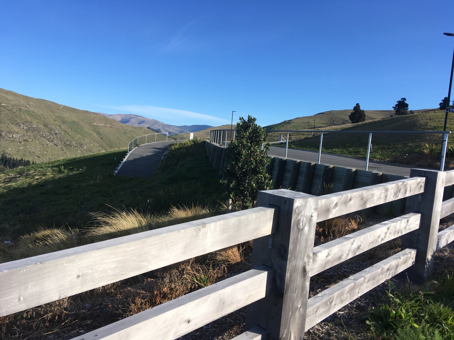
Oxenhope Rd – nothing on library website about this road. No houses on this road yet. Great views. Note I walked this in August 2019.
I found more information on-line from the minutes of the Hagley Ferrymead Community Board dated 16/03/2016 – Oxenhope Road – The Greenwoods lived at Moorehouse Manor in Oxenhope, Yorkshire.
Oxenhope is near Haworth and UK websites have the spelling of Moorhouse for the Manor. Note this Moorhouse is not connected to Moorhouse Ave. The Oxenhope Greenwood family have a Bronte connection.
Sanscrit Place in the suburb of Richmond Hill, Christchurch
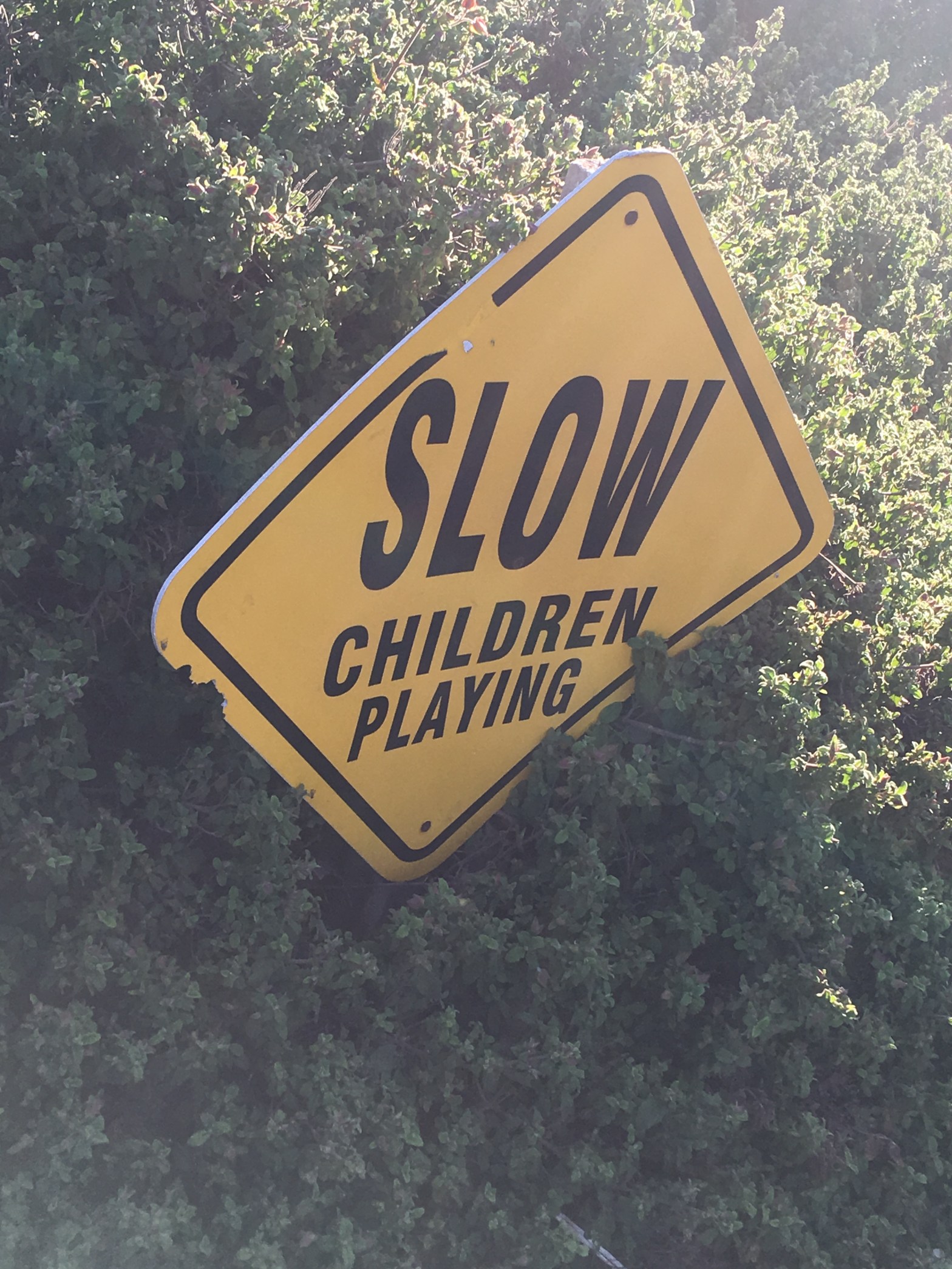
Sanscrit Place – nothing on library website about this tiny street. I was only to get photos by the wee reserve as this was a busy street. Lots of children playing or returning home from school.
Teviotdale Way in the suburb of Richmond Hill, Christchurch
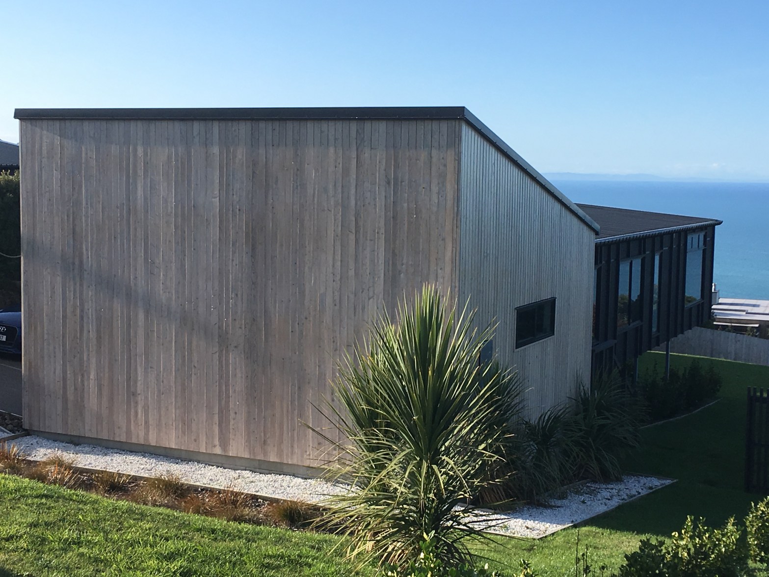
Teviotdale Way – Named after Teviotdale, the 25,000 acre sheep station in North Canterbury owned by the Greenwood family, notably George Dean Greenwood (1855-1932). Formed in stage one of the Greenwood Estate subdivision on Richmond Hill. Named in 2006.
A bit of information on the library website. This had brand new houses that were mostly wooden and looked like toilet blocks or holiday camp cabins.Lots of windows as the views are great. Considering the hill I climbed most of these houses managed to be on fairly flat sections. You could see the trig station from here.

