Revelation Drive in the suburb of Clifton, Christchurch

Revelation Drive – An extension of Clifton Drive. Named by the developers, Ken Loader and his wife, at the suggestion of Kit Iversen, city surveyor. When he first visited the site and saw the view he exclaimed “What a revelation!” Information supplied in 2007 by Peter Champion, then of White Fox & Jones in an interview with Margaret Harper.

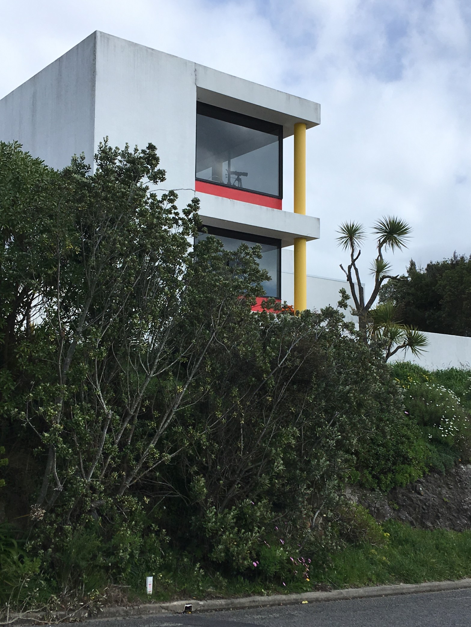
A reasonable amount of information from the library website. I am not sure that is correct as I would have thought that it was more likely to have been named after the Book of Revelation. This street had great views and most of the houses were modern with some unusual designs. Gethsemane Gardens are on this street but I believe that they are no longer open to the public. At the end of the street there was a huge empty section which I believe is owned by the owners of Gethsemane Gardens. There was a house at the top of the street opposite the empty section where I took many photos as it was so interesting.

Panorama Road in the suburb of Clifton, Christchurch

Panorama Road – Formerly Hillview Road. Hillview Road was re-named Panorama Road in 1929 at the request of several Clifton residents. First appears in street directories in 1940.

Small amount of information from the library website. Name is fairly obvious as the views from here are fantastic. Most of the houses are modern and I am assuming that most of the original houses would have been badly damaged in the earthquakes.There was one older house that looked wonderful and it was next to a park. The newer houses had lots of windows and it would be like living in goldfish bowls. One house had a cute wee tree house but my photo of it isn’t very good. There is also a reservoir on this street.

The Spur in the suburb of Clifton, Christchurch

The Spur – Named after The Spur, the property of Samuel Hurst Seager (1855- 1933). Hurst Seager subdivided and sold his property at auction in 1914. It was on the corner of Nayland Street and the Christchurch-Sumner Road. First appears in street directories in 1957.

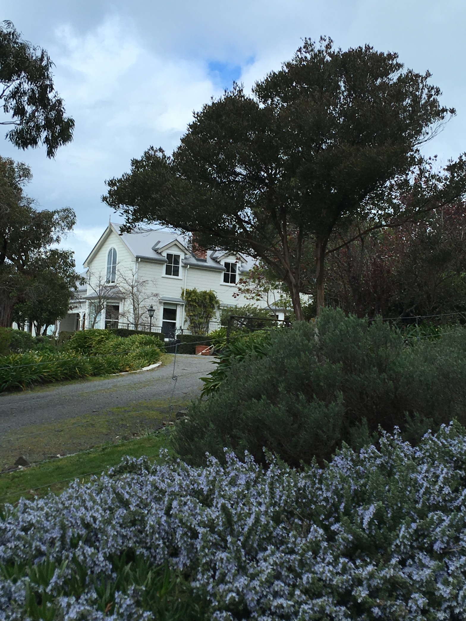
Reasonable amount of information from the library website and I couldn’t actually walk this one. Maps show it as a track rather than a street but couldn’t find an entrance to the track. Possibly blocked because of earthquake damage. I am wondering if my photo is of Seager’s house.

Spinnaker Lane in the suburb of Clifton, Christchurch

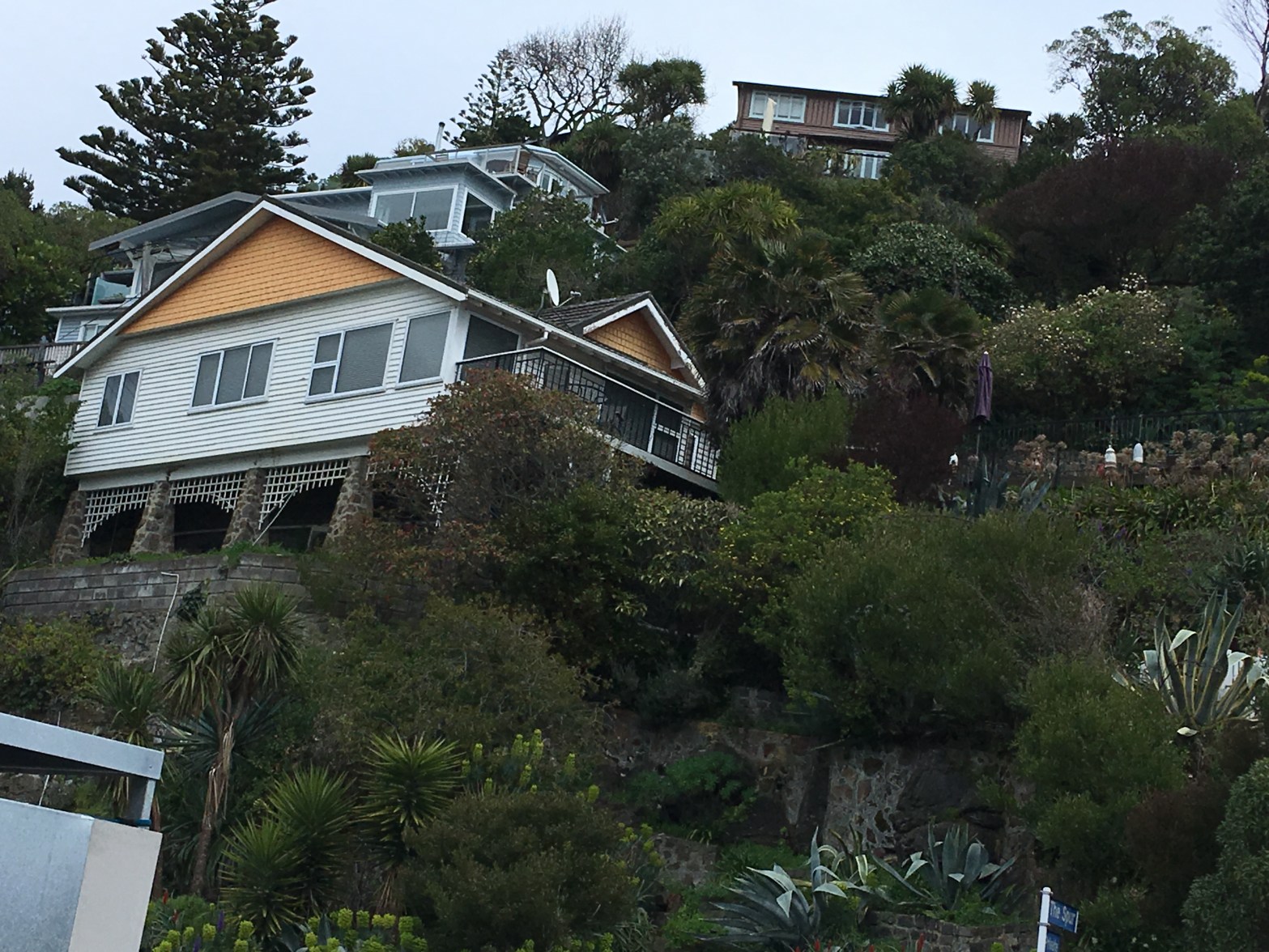
Spinnaker Lane – nothing on library website for this tiny lane. As spinnaker is a nautical term it is a suitable name for this suburb. Managed a photo of an interesting house. I quite liked this house and it is unusual as I don’t tend to like modern houses. I walked down the Zig Zag that leads from Clifton Tce to Nayland St and Spinnaker Lane is next to the Zig Zag. Great views of Sumner from here.

Kakariki Lane in the suburb of Clifton, Christchurch

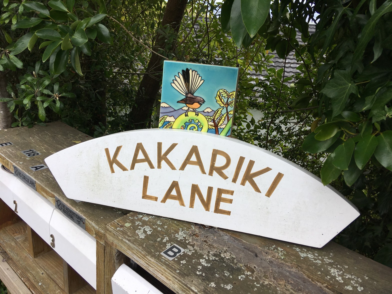
Kakariki Lane – nothing on library website for this street. This is a tiny street with modern houses. Kakariki is a parrot and I got a photo of a sign at the start of the lane. The sign has a fantail on it.

After a query from a friend I googled the word again and it kept coming up with the bird so I googled colour and the entry that I found said that the word for green is named after the bird because of the colour of its plumage.

Galilee Lane in the suburb of Moncks Bay, Christchurch

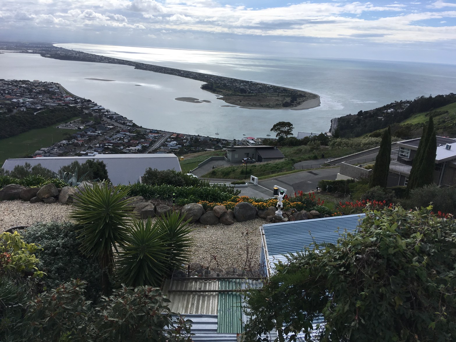
Galilee Lane – nothing on library website for this street. Looks like the street is still being developed and my photo is from the street overlooking Galilee Lane. My best guess for the naming of this street is that the previous owner of the nearby Gethsemane Gardens named the street. Another street with great views.

Starwood Lane in the suburb of Clifton, Christchurch

Starwood Lane – Named by one of the landowners, apparently in reference to the night sky, and the surrounding trees. Named Starwood Lane on 20 August 1979. Intended to be named Baughan Lane after Blanche Edith Baughan (1869?-1958), a resident of Panorama Road. She was a writer and secretary of the New Zealand branch of the Howard League. First appears in street directories in 1980.

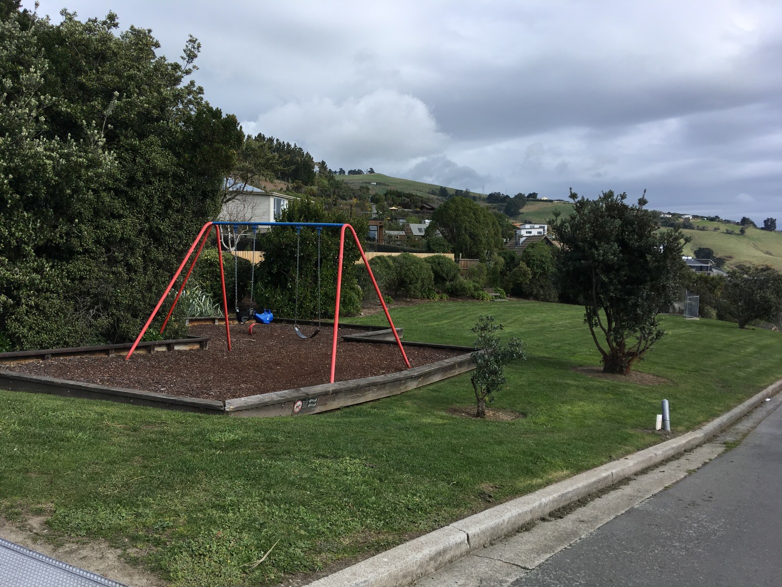
That was interesting information from the library website. Fairly modern houses with great views from them. A nice wee reserve here with a couple of seats and a small playground.

Clifton Bay in the suburb of Clifton, Christchurch

Clifton Bay – The stretch of the main road between Clifton Terrace and Nayland Street. Named in 1961.
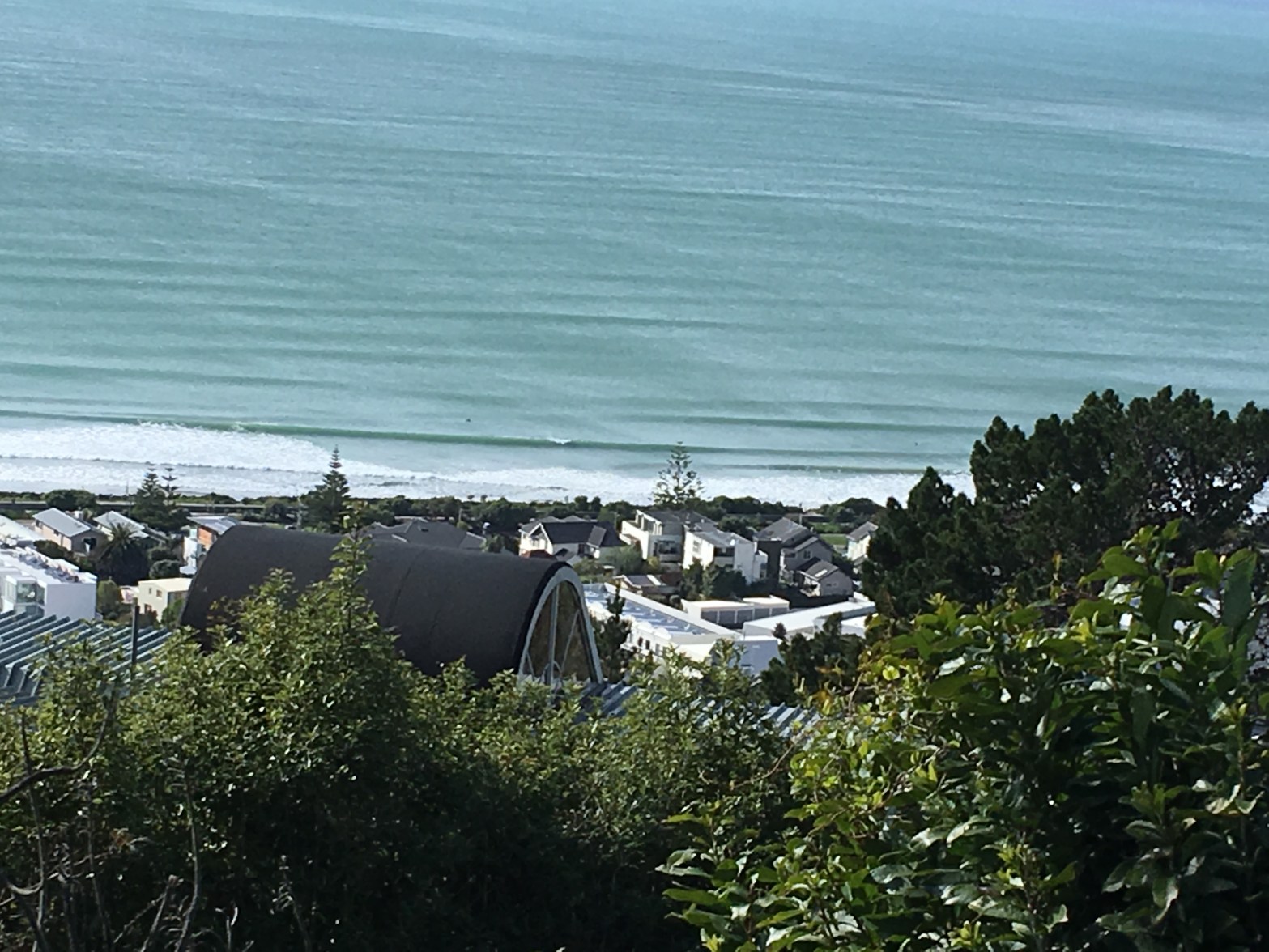
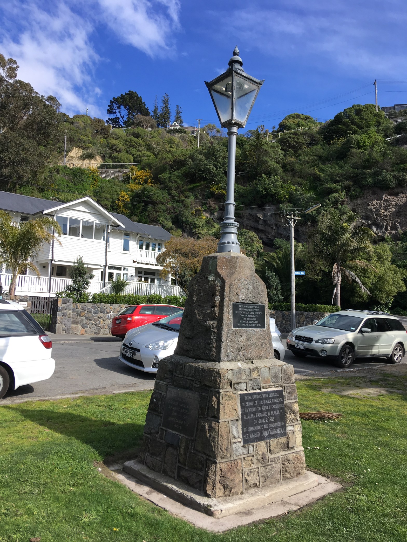
A small amount of information from the library website. Between the Main Rd and Clifton Bay is a wee garden called Sumner Coronation Garden. A few older wooden houses here. Google maps was a bit weird here as google map app on my phone has Peacock Gallop here but google maps on my computer has it correctly further along the Main Rd. A couple of my photos are from Clifton Tce looking down on Clifton Bay.

Consulting Gordon Ogilvie’s book and it has Clifton Bay as an important place for early pioneer settlers as a landing place for ships or lighters loading or discharging goods. Note this is a direct quote from his book.

Lucienne Place in the suburb of Hillsborough, Christchurch

Lucienne Place was another wee street that wasn’t mentioned on the library website. This street ran off Port Hills Rd and it had a mixture of housing styles. A couple of houses even had a look of Housing Corp style of houses. I am talking about older ones from the State Advances days. I did like the Beware of the Dog sign.

I can’t find any reason for the name Lucienne and as it is a female name my best guess is that the name is linked to the developer of this street.

Hilldale Place in the suburb of Hillsborough, Christchurch

Hilldale Place was a cul de sac off Brabourne St and again nothing on the library website about this street. The street was a T- shaped street with brick or summerhill stone houses mostly from the 1960s? It wasn’t even a hill so the name is a bit of a puzzle. The photo that I managed to get was of a couple of houses that looked a bit like pensioner cottages.

The best that I can find is that there is a village in West Lancashire with the same name.