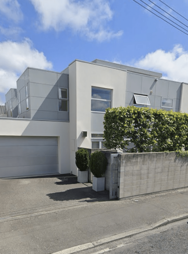
Takapu Place in Bromley and nothing on the library website. I checked both the old and new street information on the library website.
Luckily I found an article from 1972 where six streets are mentioned as being named after the Maori names for birds that live in the Estuary. It was a new subdivision in 1972 and I managed to walk all six streets today. Takapu means gannet.
Nothing much on Papers Past. A few ads and one death notice. A building firm that went broke in 1975 was building some of the houses on this street. In November 1980 on the 14th there was an article about an elderly man being missing. Sadly on the 21st November he was found by a Harbour Board worker off Gladstone Pier in Lyttelton. Can this 71 year old object to the word elderly being used for the 72 year old man.
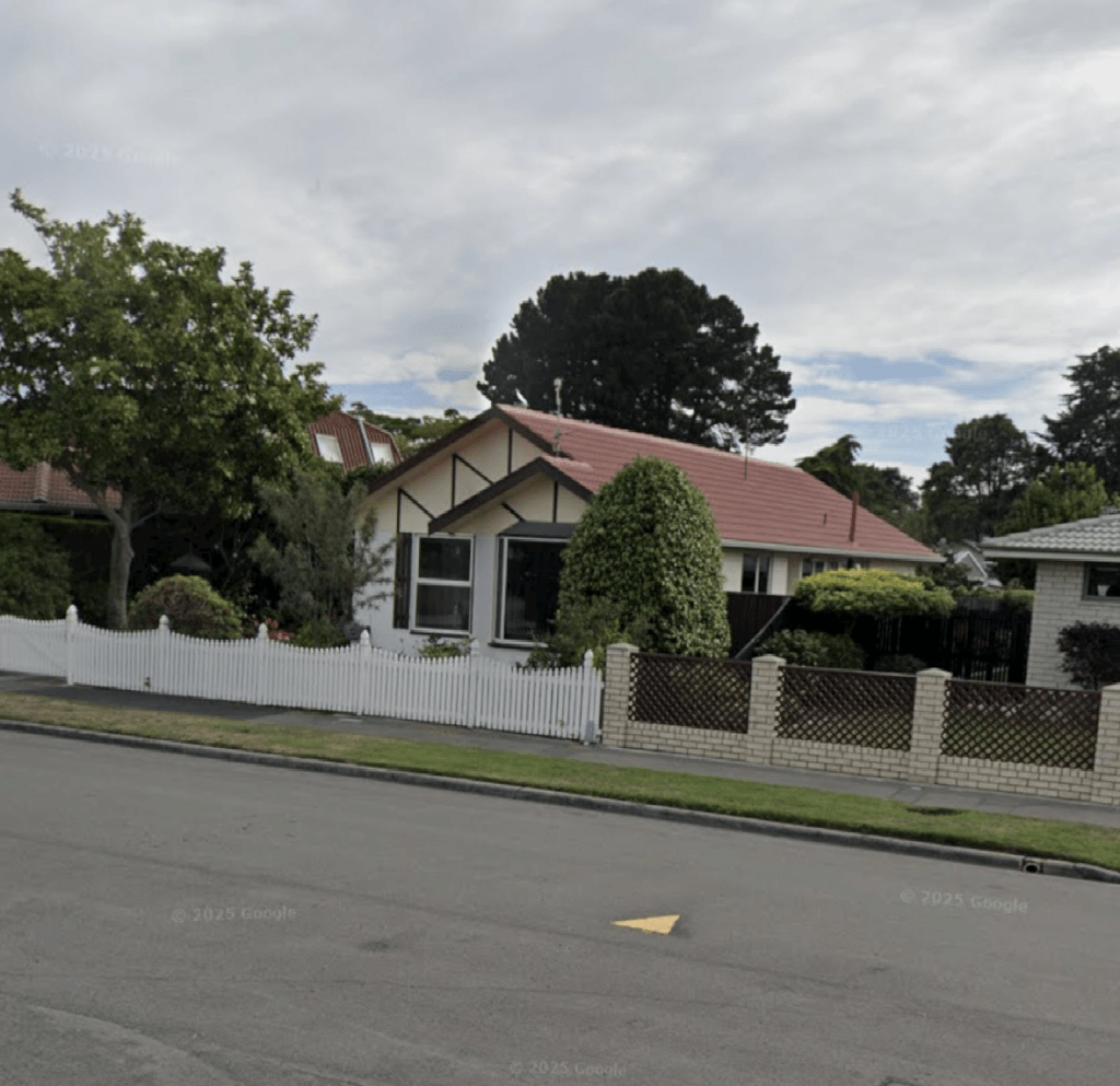
The houses here were built in the 1970s and 1980s and it was a fairly well kept street with the houses being typical for the era. One was possibly altered to give a bit of a fake tudor look.
Taranui Place in Bromley and nothing on the library website. I checked both the old and new street information on the library website.
Luckily I found an article from 1972 where six streets are mentioned as being named after the Maori names for birds that live in the Estuary. It was a new subdivision in 1972 and I managed to walk all six streets today. Taranui means Caspian Tern.
Not much information on Papers Past and there were a few ads and a couple of death notices. In 1989 a man was murdered in a house here. He was stabbed by a woman living at the same address.
A very ordinary looking street with houses mostly built in the 1970s and 1980s. One house looks like it is about to be either demolished or rebuilt.
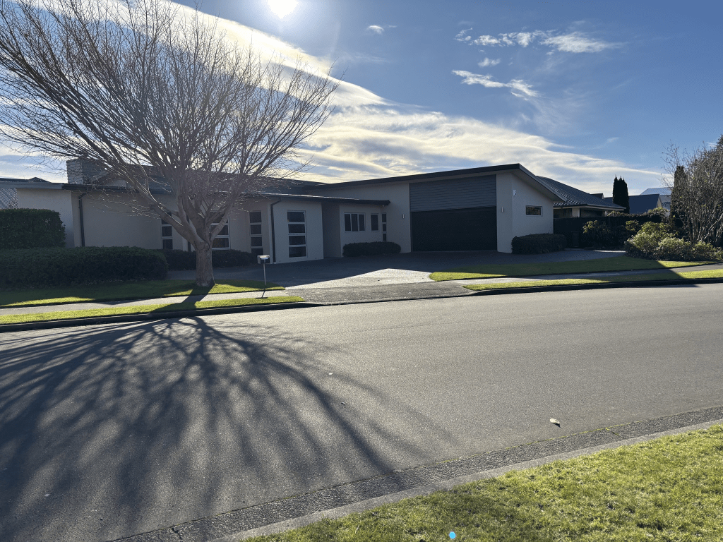
Kuaka Crescent in Bromley and nothing on the library website. I checked both the old and new street information on the library website.
Luckily I found an article from 1972 where six streets are mentioned as being named after the Maori names for birds that live in the Estuary. It was a new subdivision in 1972 and I managed to walk all six streets today. Kuaka means bartailed godwit.
Not much information on Papers Past with mostly ads for houses. A few death notices. In 1976 there was a house and the family managed to get out just before there was an explosion. There were rumours that a molotov cocktail was used but the fire investigators discounted this.
Most houses were built in the 1970s with a few built in the 1980s and at least one rebuilt after the earthquakes. I didn’t take any photos as nothing stood out for me. The houses were typical for their era and most were fairly tidy with a couple that looked a bit rundown. I had been geocaching nearby and it was such a lovely day that I went walking.
Cox Street in Merivale – Named after Alfred Cox (1825- 1911). Cox was a gentleman of Merivale and a resident of the street in 1894. First appears in street directories in 1892
A small amount of information from the the library website and no Alfred Cox was not living in this street in 1894. Took me a while to track down information about Alfred Cox as there were several men with the same name and the family trees on Ancestry website were no help. Alfred actually lived on Office Road from 1890 until 1900 and then his address was Constance Street. He would have owned the land where Cox Street was formed. He owned lots of land in Canterbury and Cox Street in Ashburton and Temuka were probably named after him. He was born in Australia and his father was naval captain who had settled in NSW. He lived in South Canterbury for many years before settling in Christchurch.
Trying to research on Papers Past was almost impossible as most entries were about Ashburton. The street had concrete channeling done in 1889 and there was a death notice in 1898. The sewer extensions were completed in 1915. Apart from ads and death notices there was practically nothing on Papers Past.
The houses on the street range from 1915 to 2024 with a biggish block of houses built in the 1970s. The modern houses are seriously ugly and the house that I did like was from 1930. Again google maps don’t show street view earlier than 2012 which is annoying. I must contact Quake Studies as I thought that there was an arrangement for street view to show pre earthquake Christchurch.
Stirling Street in Merivale – formerly Constance Street. Constance Street is first mentioned in The Press in 1903 in a report of a meeting of the St Albans Borough Council. First appears in street directories in 1906. Re-named Stirling Street on 1 September 1948 when 120 streets were re-named.
A small amount of information from the library website. I searched Ancestry websites and Papers Past but I couldn’t find out how the street got it’s names. Albert Cox did have a daughter Eva Constance Cox and they lived on Constance Street. Colin Campbell Aikman was from Scotland so it is possible this is why it was changed to Stirling Street. The Ancestry website family trees didn’t give me enough information.
Under Constance Street it was mostly ads and death notices. The Cox family were mentioned occasionally. After 1948 it was again mostly death notices and death notices. Several Stirling Streets throughout the country.
Most houses here were built in 2000 and 2005 with one built in 1970 and a couple built in 1980. The only house that I took a photo of was built in 1910 and it is being renovated. I took a screenshot of it from street view as well. The other houses on the street were modern and boring but not quite toilet block style.
Akela Street in Merivale – Formerly Milsom Street. Named after Joseph Milsom (1820-1902). Re-named Akela Street. Named after Nellie Christensen (1927-1947), an Akela (cub leader). Milsom was a St Albans borough councillor elected 1885. Milsom Street first appears in street directories in 1896. Re-named Akela Street on 1 September 1948 when 120 streets were re-named. Nellie Christensen, an office worker of 27 Chapel Street, Christchurch, belonged to the Merivale Scout Group, which had its Scout Den in this street. She died in the Ballantyne’s fire of 1947.
A small amount of information from the library website. I attempted to research Joseph Milsom but it got rather confusing as there were several men with the same name. I expected to find an obituary on Papers Past but nothing. He owned a business that was called J Milsom and Co and was a soda water manufacturer. In 1871 it was renamed Xrated Water Company and that he would be running the business on his own account and no longer had any connection with Henry Joseph Milsom. I thoroughly checked the Ancestry website and couldn’t work out their relationship but both were born in Devizes. Going by the various family trees they had different parents. Joseph lived on Aikmans Rd and I suspect that this street was developed on his land after he died in 1902 but couldn’t find the information to back up my theory. All the entries on Papers Past for Nellie Christensen only mention the Ballantyne’s fire. I was actually at the Ballantynes Memorial in the weekend getting answers for a multi geocache. I realised afterwards that I didn’t need to visit the memorial as I had photos of it thanks to my love of plaques and memorials.
Under Milsom Street there were very few entries apart from a couple of death notices and lots of ads. There was possibly a Milsom Street in Sydenham. There were two entries about the street name change as in July 1948 the street name was going to be Baden-Powell Street but in August 1948 it was to be Akela Street. No explanation for either name change.
Considering the name change was connected to the scouts it was surprising that there wasn’t more entries about the scout hall on Papers Past. In 1954 the play centre was broken into and vandalised and the toys destroyed. Looks like the play centre shared the scout hall with the scouts. In 1959 the scouts started raising funds to build a new hall as the old hall was in an old house that had been condemned. The new hall opened in 1962. The Merivale Scout group merged with the Fendalton scout group in 1998 and the hall on Akela Street was sold.
Most of the entries on Papers Past from the 1980s onwards were complaints about traffic and parking because of the Merivale Mall. I couldn’t find the exact date that the Mall was opened but there were lots of protests in 1978 about the proposal to build the Mall. One side of the street is next to the Merivale Mall car park and I couldn’t find out the date of when the car park was extended but it was probably around the year 2000 as that is just after the scout hall was sold.
The street now has parking limited to 120 minutes. I was surprised that the valuation websites only had one house on this street as when you walk the street it looks like there are several buildings here. I checked google maps and these buildings all had addresses on the surrounding streets but had entrances and garages on Akela Street. Google maps also didn’t show street view earlier than 2012 which was annoying as I thought that there was an agreement to keep street view from before the earthquakes. I had an appointment at Breastcare at St Georges Hospital today so decided to walk a few streets after my appointment. Don’t panic there is nothing wrong with me and because I am in the At Risk Screening I have to go to Breastcare at St Georges Hospital.
I thought that I had taken a photo of a building on this street but the address of it was on another street so I took a screenshot from street view of the only building with an address on this street.
Broken Run in Halswell or Wigram – Named because, before development, the land was a grazing farm with a natural valley and waterway splitting the farm into two halves, thus being a broken farm or run. The first spine road into the Broken Run subdivision. Named by the developers, Brian Gillman Ltd. Named in 2005.
A small amount of information from the library website and another street where the library says that it is in Halswell and the valuation website and google maps say that it is in Wigram.
Most houses here were built in 2000 and it is a pleasant tree lined street. There is a playground and tennis court on a piece of ground called Broken Run Reserve. This is near the entrance to Highpeak Place. Broken Run from Highpeak Place to Wigram Road has a creek running alongside of it. There is also an entrance to a walkway. The houses are on fairly big sections here which is nice to see as I live in a suburb where they are demolishing older houses and cramming several units on the sections. There was a variety of house styles but one stood out for me and I didn’t really like it. It looked like a commercial building rather than a house and I have seen country fire stations that look just like this building.
Longspur Avenue in Halswell or Wigram – Named after Longspur, a high country station near the Rakaia Gorge. The streets in the Broken Run subdivision are all named after high country stations. Named by the developers, Brian Gillman Ltd. Named in 2005.
A small amount of information from the library website. It is another street where the library puts it into Halswell and the valuation website and google maps put it into Wigram.
The 54 houses here were mostly all built in 2000 with a few built a bit later. A nice variety of house styles but I didn’t take any photos. Some nice gardens and I did like this tree lined street. Lots of campervans parked up and luckily most places had plenty of room on the driveways for them. I will have to be honest and the house with a sign of a witch on a broomstick would have to be my favourite. Yes the Community Patrol car did want to know why I was so interested in the house. We ended up having a great chat and I now know where I can go and my own witch on a broomstick. One of my friends on the quiz team is going to get a lot of amusement when I tell him tonight as he belongs to the Community Patrol group.
Cromdale Place in Halswell or Wigram – Named after Cromdale, a high country station located in the Lees Valley near the Ashley River. The streets in the Broken Run subdivision are all named after high country stations. Named by the developers, Brian Gillman Ltd. Named in 2005.
A small amount of information from the library website and yet another confused street. The library website says that it is in Halswell and the valuation website and google maps say Wigram. Sounds like the Cromdale High country station at this stage is the only one in the Lees Valley area that hasn’t been purchased by Americans. I checked maps to see if I had been to Cromdale in Scotland and it doesn’t look like I have been there.
The houses in this street were built in 2000 and my word for this street is boring. Practically no flowers in the gardens and just immaculate lawns or shrubs trimmed within an inch of their lives. The entrance to the street was pleasant. Not everyone has a wildness area like what I have and yes I should garden occasionally and it is small enough to keep under control.
Grassington Lane in Halswell or Wigram – Named after Grassington Station, situated behind Rotherham on the banks of the Waiau River. The streets in the Broken Run subdivision are all named after high country stations. Named by the developers, Brian Gillman Ltd. Named in 2005.
A small amount of information from the library website and another confused street. The library website said that it was in Halswell and the valuation website and google maps say Wigram. I couldn’t find any information about this sheep station when I googled and it kept saying that there were no railway stations with this name in New Zealand. I am sure that google searches have got worse since AI. Grassington in North Yorkshire looks like a lovely place and it has a railway station. Yes I am being sarcastic.
There are only 9 houses here built in 2000 and they look pleasant enough. There wasn’t a footpath and I thought that the properties would have been aimed at older people but going by the number of basketball hoops there are probably several teenagers living on the street.
At the start of the street where it leads off Broken Run there is an entrance to a walkway.