Appleby Crescent in the suburb of Burnside, Christchurch

Appleby Crescent in Burnside – Named because of the apple trees that once grew on the verges outside the houses. First appears in street directories in 1962 Information supplied in 2007 by Mrs Daisy Greenaway in an interview with Margaret Harper.

A small amount of information from the library website. The rest of the streets in the area are named after places in the UK and I suspect that this street was named after Appleby in the UK. Not much information on Papers Past and there were houses for sale in the 1960s and most of the houses were built in the 1960s. They are mostly brick houses and many have been extended with a second story. Some nice gardens on this street and it is a pleasant tree lined street

Cranbrook Avenue in the suburb of Burnside, Christchurch

Cranbrook Avenue in Burnside – Probably named after Cranbrook in Kent, England. First mentioned in street directories in 1960. First appears as a listing in 1964.

A small amount of information from the library website. Most houses were built in 1960s and typical 1960s style and mostly built of brick. Not a lot of information on Papers Past and there were houses for sale in 1964. The street runs from Grahams Rd to Kendal Ave and seems like a pleasant tree lined street. Some nice gardens. There is a church building on the corner of Cranbrook Ave and Grahams Rd

Dalton Place in the suburb of Burnside, Christchurch

Dalton Place in Burnside – nothing on library website. I was surprised that there wasn’t any information on the library website as the street dates from 1960s. There were only 9 houses here and typical 1960s style and mostly built of brick. Footpath on both sides of the street which I like as modern streets of this style frequently have no footpaths. Nothing stood out for me. I suspect that the street was named after Dalton in the UK as many of the streets nearby are named after places in the UK.

Halswell Commons in the suburb of Halswell / Hoon Hay, Christchurch

Halswell Commons and I decided to do all the streets and lanes under one heading. The streets are too new to be on the library website. The streets are bordered by Hendersons Road and Halswell Rd and could fall into either Halswell or Hoon Hay suburbs. The houses are very new and many are still being built. There is a community garden and a playground. The playground doesn’t have the normal swings and slides but has interactive play equipment whatever that means. If there weren’t people around I might have been tempted to play on the mini trampolines. There is also a Montessori School in the subdivision.

The subdivision is on the site of the original Spreydon Lodge Stables and in the 1980s Wayne Francis set up Franco Harness Racing Stables and Franco Breeding here. The Racing Stables are now in West Melton and the family of W J Francis is developing the subdivision. Franco Road is obviously named after Wayne Francis and the Franco Racing Stables. The rest of the names are connected to racing and mostly the names of racehorses. There is Holmes Hanover Lane, Nostradamus Lane, Nevermore Place, Wimbledon Lane, Enforce Lane, El Patron Lane, Preferred Lane, Seelstar Lane, Brancion St, Manarola Rd and Monsaraz Blvd. There is one tiny street that I am not sure what the name is as different maps have different names. One map had Bellagio Place and street view showed a signpost with that name. Another map showed it as Evora Place. Council minutes about the names for the new subdivision gives both names. I just can’t remember and I only walked it yesterday. What I do remember is how confusing the layout was for the streets and especially the lanes. Not helped by houses all looking exactly the same.

Longview Place in the red zone part of the suburb of Burwood, Christchurch

Longview Place in the red zone in Burwood – Named because of the long views from the street. Named in 2007.

Small amount of information from the library. This street no longer exists as it is in the the red zone. There seems to be a track for bikes and skateboards here. Google street view only shows 2012 and there were still a few houses standing at that stage.

Medway Street in the suburb of Richmond, Christchurch

Medway St in Richmond – Formerly Minchin’s Road. Named after Edward Corker Minchin (1821- 1899). Re-named Medway Street. Probably named after Medway in Kent, England. Minchins Road is first mentioned in the Star in 1879. First appears in street directories in 1914. Minchin was one of the first owners of property at what later became Caledonian Road. Re-named Medway Street in 1916.

A reasonable amount of information from the library website and I actually walked this street a month ago. I also did the research at least three weeks ago and I really should write it up when it is fresh in my head. Papers Pas had many birth and death notices. This street also seemed to have a lot accidents especially at the corner of North Parade. In 1921 there were drainage issues and this was a common problem in certain areas of Christchurch. In 1956 a couple celebrated their Golden Wedding and it was mentioned that they built their house 48 years ago at 52 Medway St. They said that it was built in the middle of dairy farming land. This house is still standing but has been altered in such a way that you can’t tell that it would have been a lovely wooden villa once.

The triangle shaped piece of land at the corner of Medway St and North Parade seems to have been a reserve since the beginning of the street. Council notices for both 1916 and 1924 say that the street name is to be changed from Minchin Rd to Medway St and both names were used for many years.

Edward Corker Minchin sounds like a very restless man and he was born in Ireland and died in Wales but in the meantime he lived in New Zealand and England. He owned several properties in New Zealand. He would settle for a while and then sell up and return to the UK. After a while he would come back to New Zealand and then sell up yet again to return to the UK. He did this in 1863, 1871, 1875 and finally in 1889. In 1889 he sold his newly erected house known as Woodchester to return to England. I checked ancestry websites but couldn’t find him ever living at Woodchester but I then realised that Woodchester is very close to Minchinhampton. No wonder the name of Woodchester was familiar as I know Minchinhampton really well. I have also stayed in the Medway YHA.

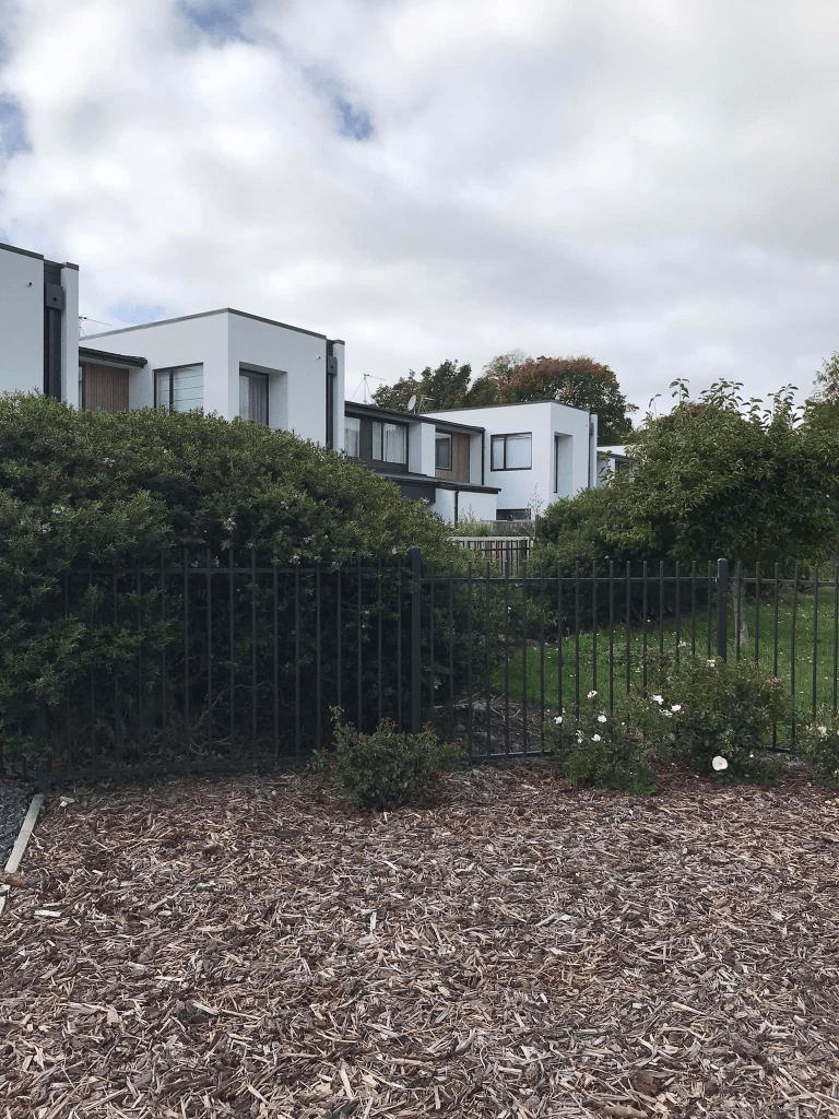
Still many older houses on this street and the oldest dates from 1905 and is the one mentioned in Papers Past. Many houses were built in 1970s and 1990s plus 2017. This street runs from North Parade to River Rd and at least half of the street is now in the red zone. Obviously it is the half nearest the river. They are in the middle of building the new Medway Bridge across the river and there is an information board about the old bridge.

Upland Road in the suburb of Hoon Hay, Christchurch

Upland Rd in Hoon Hay- First appears in street directories in 1953. A tiny amount of information from the library website. I searched several websites and couldn’t find a reason for the name of this street. There are several streets throughout New Zealand with this name. I would understand if it was on a hill but the land is flat. I couldn’t find anyone with that name in the whole of Canterbury and I couldn’t find a matching place name.

The street is on a map from 1950 but not on a map from 1941. There is one house here from 1940 but most are dated in 1950. In 1950 there were sections available with preference given to former servicemen. In 1951 the property at 3 Upland Rd was for sale as the owner was giving up market gardening due to ill health. In the 1950s there were lots of ads for the sale of tomatoes at 4 Upland Rd and at 5 Upland Rd they had grazing available for horses plus sold hay. Not really a lot of information on Papers Past apart from those ads. Hillmorton High School which has an entrance at the end of this street opened in February 1961. There was a brief sentence that I found when googling that said that the school was called Hoon Hay Post Primary School when it opened but nothing on Papers Past about this name. As this name was attached to a photo of a building at Sunnyside it is highly likely to be wrong.

The houses were typical of the houses built in the 1950s and nothing outstanding about them apart from the one that obviously belongs to a hoarder. It has obviously been like this for a while as google street view from 2019 shows all the same junk. I did meet Spider -Man and Ironman on this street and they said that they are the real Spider-Man and Ironman.

Butchers Lane in the Central City, Christchurch

Butchers Lane in the Central City. This lane is a walkway behind Smash Palace on High St and is very new. Found two news articles about it from November 2019 and July 2020 but the owner of the land was in negotiation with the council from 2014. The reason for the name was from the historic Knight’s Butcher Shop that operated here from late 1890s to 1985. Not a lot of information on Papers Past but they were fined in 1903 under the Slaughtering Act. I didn’t research James Knight as there is very good information online if you go to Canterbury Stories NZ and look up James Knight butcher. This area is still being worked on and there is some great street art along this lane. There is also new street art in the High St area and well worth having a walk in the area. There is one downside to the lane and that is men using the nearby bushes as a toilet. No I didn’t need to see that man waving his private parts at the bushes when I was trying to get a photo of street art. Gross.

Dave Jamieson Lane in the suburb of Hillmorton, Christchurch

Dave Jamieson Lane in Hillmorton- Named after Dave Jamieson. Jamieson was one of the most influential horticulturalists involved in the establishment of the gardens at Sunnyside. At his request the name David was changed to Dave, as this is the name he uses. A right-of-way in the second stage of a Ngai Tahu subdivision developed on the site of the former Sunnyside Hospital. Named in 2007.

A reasonable amount of information from the library website. The library website has this street in Middleton but all the surrounding streets are in Hillmorton. I couldn’t find anything online about Dave Jamieson. I didn’t actually walk this street as it was a private lane and I didn’t realise that the buildings were houses as they looked like businesses. Most were built in 2019 with a couple built in 2010. The lane runs off Mokihi Gardens.

Mokihi Gardens in the suburb of Hillmorton, Christchurch

Mokihi Gardens in Hillmorton- Named because Wai Mohiki is the Maori name for the upper reaches of the Heathcote River. In the second stage of a Ngāi Tahu Property Group subdivision developed on the site of the former Sunnyside Hospital. Named in 2007

A small amount of information from the library website and my spelling of Mokihi Gardens is the correct spelling. The library website spelling of Mohiki is incorrect. Wai Mokihi is the Maori name for the upper reaches of the Heathcote River and I believe that mokihi means raft made from bundles of flax.

There are 71 houses here and most were built in 2010. There is a couple of entrances to the reserves including the wetlands area from this street. The street is a circle and comes back onto itself when walking it. Considering the name of the street there are very few gardens and just house after house with immaculate lawns. Boring. The houses are built in lots of different styles that are ‘ interesting’ and are probably award winning designs. In other words ugly with one that looked like a fire station plus the usual toilet block style. A couple of nice gardens and one garden had shrubs that looked like they were topiary at one stage. A bit neglected but in google maps they are very clearly shaped birds and animals. There is some nice walking in the area and obviously dog walkers like the area as I managed to stand in some dog shit that was in the middle of the footpath. I couldn’t decide if I liked the street or not.