Besant Place in the suburb of Avondale, Christchurch

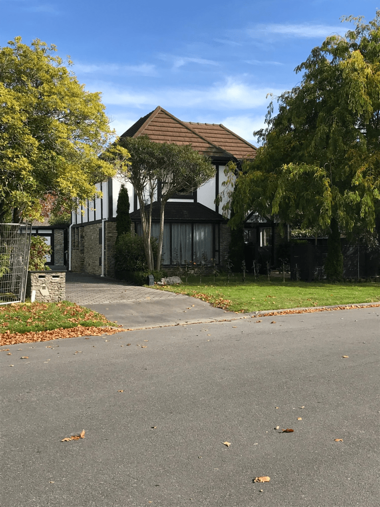
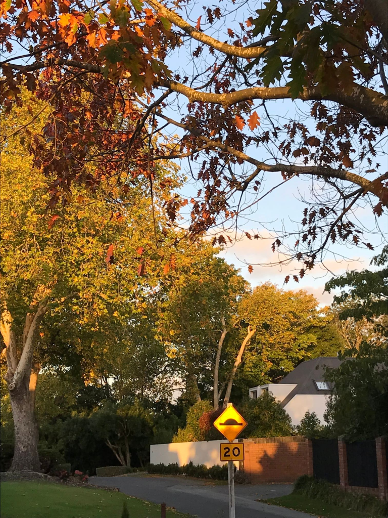
Besant Place in Avondale and there wasn’t any information on the library website. This street runs off Orrick Crescent and the houses were built in 1970s so I was surprised that there wasn’t anything on the library website. I searched Papers Past and Ancestry website with no luck. It sounds like a surname but couldn’t find anyone with that name living in the area. Couldn’t find a place name to match either. The houses were typical for 1970s and nothing stood out for me.

Library information for a nearby street said that streets in the area were named after places or people connected to Isle of Wight. I found three brothers with the surname Besant. William was a mathematician, Walter was a novelist and Frank’s wife Annie was better known than Frank.

Sheraton Place in the suburb of Redwood, Christchurch

Sheraton Place in Redwood- nothing on library website. I was surprised that there wasn’t any information on the library website as at least half the houses were built in 1980 and the rest in 2000. None of the houses stood out for me but there was one two story place that was OK. The street runs off Grimseys Rd and is near the new cycleway that runs along the side of the new motorway. I was geocaching in the area. The street is possibly named after a place in Northern England but couldn’t find out much information about the street. My usual complaint of there being a footpath on only one side of the street

Grahams Road in the suburbs of Burnside, Ilam, Bishopdale and possibly Avonhead, Christchurch

Grahams Road in Burnside and Bishopdale and Ilam – Named after Douglas Graham (1818-1872). Graham arrived in Canterbury in 1852 and was the manager of John Deans’ cattle from 1854 until his death. Grahams Road was cut through his holding of 141 acres which he leased to William Boag. His home was near the corner of Grahams Road where Flay Park is now located. The Star in 1892 refers to a sale of land at Graham’s Estate and describes it as the largest and most important sale of suburban properties held in Canterbury for many years. First appears in street directories in 1912, running from Greers Road to Wairarapa Road (later Wairakei Road). Two residents are listed – both farmers.

A reasonable amount of information from the library website. I did find out that his widow when she died was living at a property called Springbank which explains one of the street names in the area. This street covers at least three suburbs and possibly four suburbs if you included Avonhead.

I found Grahams Rd mentioned in Papers Past as early as 1884 when the road board had to consult the trustees of Douglas Graham’s estate. In 1885 the contactor building the road asked for extension for completing the road. I found Grahams Rd on a map dated 1879. In 1906 there is talk of acquiring land for a cemetery. In 1932 Waimairi Council requested that the name of Grahams Rd be retained. There was a Grahams St in Woolston. In 1938 property owned by Mr Royds with frontages on Grahams Rd was sold and it had been a Suburban Stud Farm. Most entries in Papers Past is in the 1950s and 1960s as the government acquired large section of land for housing especially for state housing. There were at least three estates they took over. In 1969 Crown land from the Flay estate was intended to be Flay Park but 10 acres went to Burnside High School and the rest used for housing. Flay Park is still there but much smaller than the original plan.

In 1956 the Burnside Rd property belonging to the University of Canterbury was taken over as Crown Land. This was 56 acres bounded by Greers Rd, Burnside Rd ( Memorial Ave) and Grahams Rd. The college council agreed to surrender the land to offset the new Riccarton site. Also in 1956 it was recorded that 400 houses to be built on land taken over by the state and this was the Gregan Housing Block. Most of the housing was state houses and it was said that the population of the area would increase by 13,000.

Most of the houses on the street were built in the 1960s but there are a few houses built in other later decades. Walking the street none of the houses stood out for me. Many still have a state look about them and a big block of state houses from 1950s have been demolished. They will be rebuilding more state houses and I can’t remember the current name of this government dept. I am showing my age by calling them state houses. There is a cemetery on this street plus a modern church. Flay Park is at the Memorial Ave end of the street. I then had to cross Memorial Ave and even with lights it isn’t my favourite street to cross. I eventually end up at the roundabout where Grahams Rd becomes Merrin St. Returning to where I had left my car I stopped briefly at Bullock Reserve which has an entrance on Grahams Rd. There is a medical centre in an interesting looking building that almost looked Art Deco. I crossed Memorial Ave again having another good look at the houses but again none really stood out for me. I am amused that my friend’s house is built on land that originally belonged to the University of Canterbury. Fed the cat who was hiding from me and then went home.

Kendal Avenue in the suburb of Burnside, Christchurch

Kendal Ave in Burnside – formerly Kendal Street Named after Kendal, a town in the Lake District. Blogg Brothers Ltd. built “half of the streets in the Wairarapa riding including Kendal Avenue and Springbank Street”. Kendal Avenue was one of the first streets in the South Island to have underground reticulation of power and telephone cables. Kendal Street first appears in street directories in 1960. Becomes Kendal Avenue in 1962.

A small amount of information from the library website. I have searched Companies Office and Papers Past and can’t find out much information about Blogg Brothers. None of the entries on Papers Past about the subdivisions in this area mention them.

This street runs from Wairakei Rd to Memorial Ave. The houses at Wairakei Rd end were built in 1950s but the majority of the houses were built in 1960s. Three subdivisions were mentioned in relationship to this street and Springridge Ltd development was Memorial Ave end of the street including the shops at that end. The 1950s houses were in the Gregan Housing block. Lands and Survey dept also had a subdivision here including another block of shops. Maurice Carter possibly built houses in the Land and Survey block as I am starting to recognise his style of houses. The sections on the Land and Survey block were offered in ballots. Lots of entries in Papers Past between 1959 and 1961 with sections being sold. Tenders required for building a school and a kindergarten plus the council purchased land in the Gregan Housing block to create a reserve and a playground.

Starting from Wairakei Rd end there are the 1950s houses from the Gregan Housing block. Then it is Kendal Reserve and playground, the school, the kindergarten and Plunket Rooms. Opposite school is St Timothy’s Anglican Church. The bigger group of shops that was built on Crown Land is where Cranbrook Ave ends at Kendal Ave. Several shops including a medical Centre. There wasn’t any mention on Papers Past but the housing on this part of the street has a social housing look about it plus what used to be called State Houses. Continue walking and there is an entry to Ashcroft Reserve. Then a small group of shops which were part of the Springridge development and I then reached Memorial Ave.

None of the houses stood out for me and most of the street was tree lined except for the section which had flats and houses that looked like social housing.

Surprisingly for such a long street I only took one photo which was of the church. Nothing appealed to me. No street art type of artwork at the school which was disappointing as so many schools these days have fantastic street art type of paintings. The trees looked lovely with autumn colours starting to show but as I write this I realise that I found the street boring.

Edited to say that when I visited Kendal in the UK I wanted to buy Kendal Mint Cake for an elderly woman that I frequently looked after. Charlotte loved Kendal Mint Cake but I couldn’t find anyone who had it for sale.

Rembrandt Place in the suburb of Burnside, Christchurch

Rembrandt Place in Burnside – Named after Rembrandt Harmenszoon van Rijn (1606- 1669). Rembrandt was a Dutch artist. First appears in street directories in 1983.

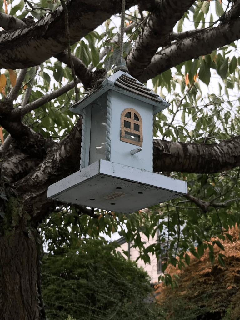
A tiny amount of information from the library website. This street is too new for me to get information from Papers Past. The street runs off Grahams Rd and splits Flay Park in half. Houses were all built in 1980s and more than half were built with brick. A variety of styles and some I liked more than others. There was a mock Tudor house which I actually liked. A pleasant tree lined street and as usual the footpath was only on one side of the street but I did like the street. There was a walkway that lead to a second walkway. The second walkway leads to the grounds of Burnside High School

Rubens Place in the suburb of Burnside, Christchurch

Rubens Place in Burnside – Named after Pieter Pauwel Rubens (1577- 1640) Rubens was a Flemish painter. First appears in street directories in 1987.

A tiny amount of information from the library website. Street too new for me to find any information on Papers Past. The street runs off Grahams Rd and is a pleasant tree lined street. There is a walkway that leads to another walkway. The second walkway lead to what looked like a large park but sign said Burnside High School. Most houses here built in the 1980s and most were built from brick. I will always remember this street as the one where a local woman had been playing badminton and had lost her shuttlecock in a tree. Her neighbours were very helpful and she eventually retrieved the shuttlecock with the help of a neighbour’s ute. They were all very friendly and didn’t mind me standing there laughing. Told them that it had made my day.

Parkham Drive in the suburb of Burnside, Christchurch

Parkham Drive in Burnside – Named after Douglas McIntyre Park (1888?-1968)Park was in business with Mabel Winifred Witbrock (1893-1991). They ran a vegetable market in Bedford Row. First appears in street directories in 1980. Information supplied in 2010 by Ngaire Anne Kelly, granddaughter of Annie Witbrock and niece of Mabel Witbrock, in an interview with Margaret Harper.

A small amount of information from the library website and my personal view is that it is totally wrong.

Parkham is a place name in the UK and in the same area as Arlington and Ilfracombe which are also nearby street names. Douglas McIntyre Park was born in Palmerston North and moved to Christchurch in 1917 which was the same year of his marriage. He went to work as an auctioneer for a company called A E Brown and Co who were on Lichfield St. The company dealt in fruit and vegetables as an auction company. By 1927 Douglas had his own auction company known as Park, Davis and Company and this was based on the corner of Lichfield St and Bedford Row. In 1930 Douglas M Park was a close neighbour of Annie Witbrock in Stratford St. Mabel Witbrock possibly grew fruit and vegetables to sell at auction but I could only find her selling sheep at auction and is described in the electoral rolls as a farmer.

I was very busy on Papers Past and the ancestry website. This street runs off Witbrock Crescent and most houses were built in the 1990s. There is one house on the corner of Parkham Drive and Witbrock Crescent built in 1970. The street has a walkway and reserve that takes you to Grahams Rd. As usual there is a footpath on only one side of the street but it did look like a lovely street with the houses being a variety of designs. I suspect the they would all be well above my budget.

San Rafael Place in the suburb of Burnside, Christchurch

San Rafael Place in Burnside – Named after San Rafael, a cul-desac in Los Angeles.Formed on land previously owned by Annette Flay, a daughter of Professor Flay. Peter Foster visited a magnificent cul-de-sac in Los Angeles named San Rafael and named the street

after this. He felt it also seemed to go with other nearby street names, Rubens Place and Rembrandt Place. First appears in street directories in 1993. Information supplied in 2009 by Peter Foster.

A reasonable amount of information from the library website. I can’t find any record of Annette Flay being registered on the electoral roll in New Zealand. There are a few entries in Papers Past which set me looking up the CGHS magazines that I have. Annette started at CGHS the year after my sister started there but she would have left before I started there. I suspect that she left NZ for the UK and never returned. She possibly married in the UK in 1977.

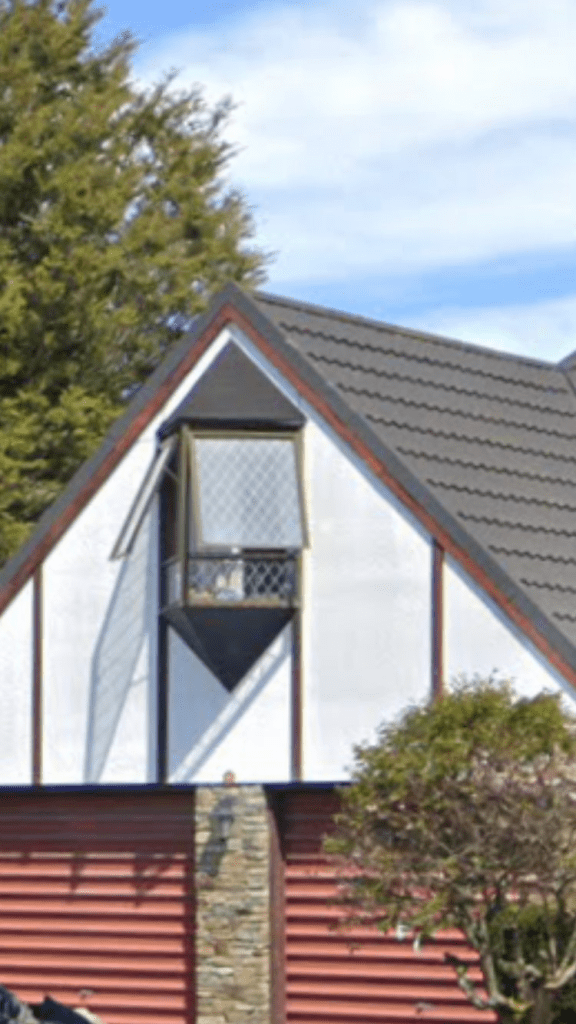
This street runs off Ambleside Drive and is another tree lined pleasant street. My usual complaint about the lack of of proper footpath. All houses here were built in the 1980s and one house really intrigued me. The house itself didn’t really stand out but it had a strange 3D triangle shaped window. One house I liked was also built in 1980 but in an older style.

Thurlestone Place in the suburb of Burnside, Christchurch

Thurlestone Place in Burnside and nothing on library website. The houses here were built in the 1980s so I am surprised that there is no mention on the library website. There is one house built in 1950s and my best guess is that the land attached to this house was developed. I couldn’t see the older house as it was down a long curved driveway. The street was developed between 107 and 117 Grahams Rd. There is a tiny reserve at the end of the street next to the driveway for the older house. My usual complaint about only half the street having a footpath. Some nice houses here but beyond my budget. I am always amused when I see mock Tudor houses. Thurlestone is a place in Devon in the UK.

Witbrock Crescent in the suburb of Burnside, Christchurch

Witbrock Crescent in Burnside – Named after Annie Elizabeth Witbrock, née Ell, (1868-1947).Annie Witbrock is listed in street directories from 1939 living at 184 Burnside Road (later

Memorial Avenue). This was near Grahams Road. [Her daughter, Mabel Winifred Witbrock (1893-1991), sold the 22 hectare property for $1.2 million to City Realties Ltd in 1989. It was one of the last original family properties left in the area and was particularly noteworthy because a raised section running across the land was an old bank of the Waimakariri River.] Witbrock Crescent first appears in street directories in 1977. Information supplied in 2010 by Ngaire Anne Kelly, granddaughter of Annie Witbrock and niece of Mabel Winifred Witbrock, in an interview with Margaret Harper

A reasonable amount of information from the library website and I personally don’t think that this street was included in the block of land sold in 1889 as most houses were built in the 1970s. My gut feeling is that Grangewood Lane and the area around that street is where the land that was sold in 1989 was situated as the houses there were built in the 1990s.

Only 29 properties here and they all have a different design. A couple really stood out for me but not sure that I actually liked them. Nothing on Papers Past for this street. It is a pleasant tree lined street but I suggest that you watch very carefully where you walk as the tree roots have badly damaged the footpath in places. When walking along Arlington St becomes Witbrock Crescent and the road is very narrow at this part. There is a wee reserve here and I went back today to check it out as I totally missed it yesterday. It is a tiny reserve and not obvious and I noticed it when checking google maps.