Chapmans Road in the suburbs of Woolston and Hillsborough, Christchurch

Chapmans Road in Woolston and Hillsborough – Named after William Chapman (1853-1924). Chapman, a farmer of Opawa, built an accommodation house there. He lived at 55 Opawa Road. He married Sarah Elizabeth, the only daughter of Joseph Garland (1812-1862), a farmer of Heathcote Farm. First appears in street directories in 1901.

A small amount of information from the library website. There were several men with the name William Chapman and two of them had wives called Sarah and two died in 1924. William Chapman also had a son called William but as the son had the middle name of Garland it was easy to figure him out. The family trees on the Ancestry website weren’t helpful but I was able to work it out with death and marriage records. William died in 1924 aged 71 and sadly his wife Sarah died in 1880 in childbirth. This child died in 1882 and she is buried with her mother.

Information from Papers Past has the council planning on a footpath in 1902 and they were still talking about creating this footpath in 1920. In 1902 land owned by J E Garland was for sale and it was described as being suitable for subdivision. J E Garland also had land for sale in 1914. In 1917 the council couldn’t find any record that the council was responsible for maintaining the street. There were a few death notices and there only seemed to be about 6 families who lived here. From 1940s onwards the street was getting more and more industries on it. Brightlings Transport had their business on this street. There was probably only one family still living here in the 1960s. In 1959 some of the land was zoned industrial with the option of more land being rezoned industrial. This was dependent on what happened when the new road tunnel was eventually opened.

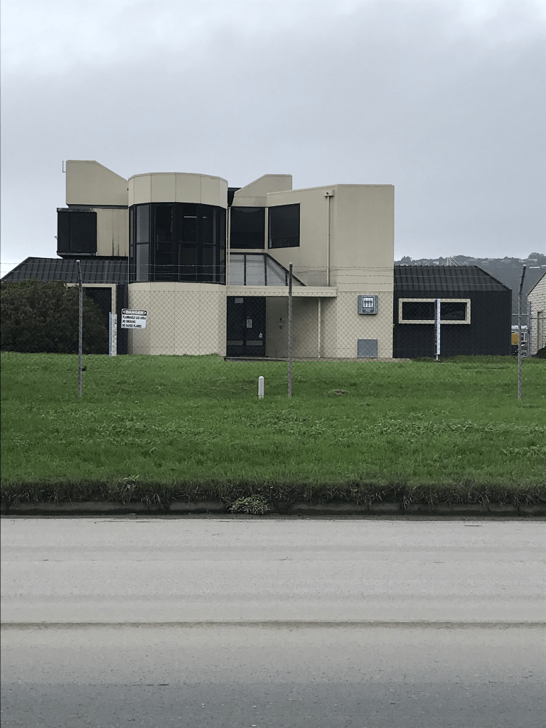
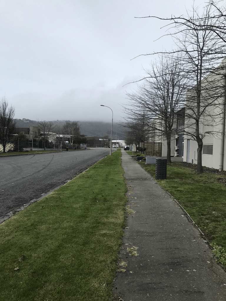
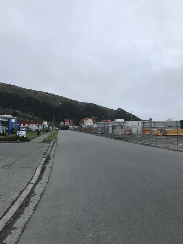
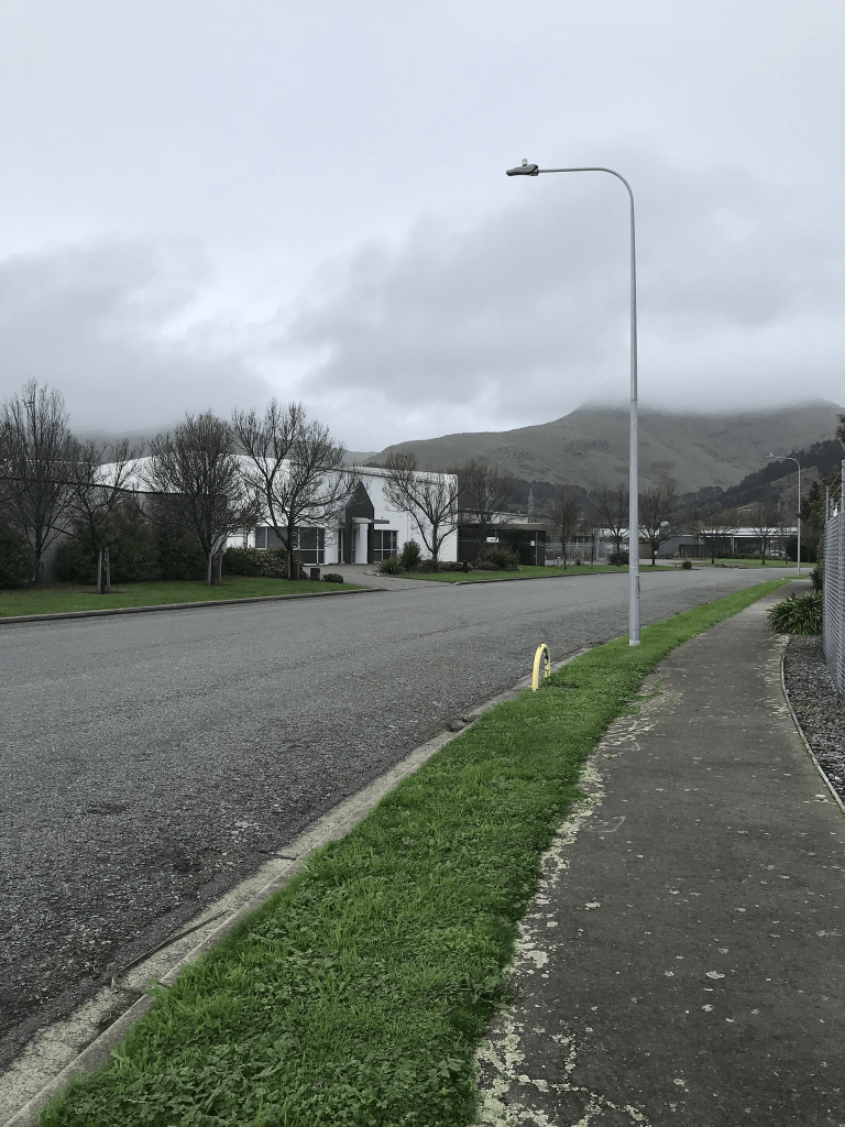
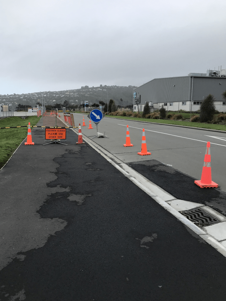
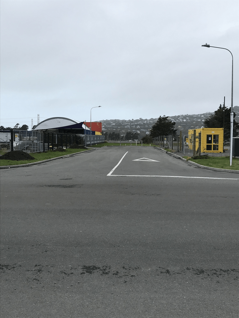
This street is now fully industrial and there was a footpath on only part of the street. I wouldn’t attempt to walk this street on a weekday because of the trucks that use the street. The street is partially blocked at the Cumnor Tce end of the street and there is also an entrance to a walkway / cycleway.

Dalziel Place in the suburb of Woolston, Christchurch

Dalziel Place in Woolston – Named after Jean Dalziel Mauger (1908-1996). Jean Mauger was the mother of developer, Warner Mauger. Named in 1997.Information supplied in 2006 by Bob Pritchard, subdivisions officer, Christchurch City Council.

A small amount of information from the library website and nothing that I can add about the name of the street.

This street is probably in Portlink Business Park and one business was an Army Surplus Store. I figured out when looking at a map that streets in this area that are on one side of the railway line are in Woolston and on the other side they are in Hillsborough.

Mary Muller Drive in the suburb of Hillsborough, Christchurch

Mary Muller Drive in Hillsborough – Named after Mary Jeanette Muller (1912-1995). Mary Muller was for many years the principal of Muller’s Transport in Port Hills Road. The road passes over the land where her business and her home were situated. Named in 2000.

A small amount of information from the library website. Mary Muller and her husband Arthur lived at 220 Port Hills Rd from 1966 and previous address was 214 Port Hills Rd in 1960 and 1963. It is quite likely that they lived at the same place but street numbers were changed. The business address was also 220 Port Hills Rd. Previous addresses were Aotea Tce in Huntsbury.and Norwich Quay in Lyttelton. Arthur Cable Muller died in 1974 aged 65.

Limited information on Papers Past but there was a death notice in 1953 when Mary’s mother died. Her parents were Bertha and Frank Bradburn. Bertha’s maiden name was Muller and I searched Ancestry website but couldn’t find a connection between Arthur and Bertha but the information on the Ancestry website was limited. I couldn’t find marriage details for Mary and Arthur.

At least two businesses here used the name Castle Rock. You can normally see Castle Rock from this street but couldn’t see it today as there was low cloud covering the hills. One business was Castle Rock Cafe and I was surprised that it was open on a Sunday.

Lock Crescent in the suburb of Hillsborough, Christchurch

Lock Crescent in Hillsborough – formerly Lock Place. Named because the name “Lock” is a family name that has been prominent in the area “in past years”. Named Lock Place in 2 April 2002. It was later extended to continue out to Chapmans Road, creating a “Crescent”. The name change was requested in 2006 by the developer, Rookwood Holdings, and three existing businesses in the street to reflect the physical change to the road.

A reasonable amount of information from the library website. I thoroughly searched the Ancestry website and couldn’t find anyone with the Lock name or even Locke name living in the area. The closest that I came to was a William Lock who lived on Wilsons Rd in the early 1900s. He was a shunter so he did have a railway connection.

This street is in a business area off Port Hills Rd and the French Bakery is on the corner of this street and Chapmans Rd. I managed to resist the temptation to buy anything at this business.

Brightlings Road in the suburb of Hillsborough, Christchurch

Brightlings Rd in Hillsborough – Named after John Brightling (1842- 1928). Brightling established a brick works there in 1893. First appears in street directories in 1980.

A small amount of information from the library website. Papers Past had an obituary for John Brightling in 1928. He arrived in Lyttelton on the John Templar in June 1866. He was a butcher by trade but after his arrival in NZ he took up a night soil removal contract. He also acquired a paddle steamer known as Avon Steam Packet. He built tramlines and he built the first tramline in Christchurch. He owned two brickworks and the Port Hills one closed in 1928. His other brickworks in St Martins closed in 1963. See Brickworks Lane about the St Martins one.

There was an article in 1974 about the proposed road and for it to be called Brightlings Rd. In 1985 Coca Cola plant requested that they get their water from Christchurch as the water from the Heathcote County wasn’t good enough. Coca Cola is still on this street. There seemed to be a lot of shipping containers on land on this street.

Caerphilly Place in the suburb of Hillsborough, Christchurch

Caerphilly Place in Hillsborough- Named after Caerphilly, a town in the county borough of Caerphilly in South Wales. Developed post-1997.

A tiny amount of information from the library website and nothing that I can add about the name.

This street is in the business area that runs off Port Hills area and there was a footpath for me to walk on. It was businesses here and they all seem to deal with hazardous products.

Vaila Place in the suburb of Woolston, Christchurch

Vaila Place in Woolston – Named after Vaila, one of the Shetland Islands of Scotland. The Thomson family emigrated to Stewart Island in the 1860s from Vaila. A descendant is a director of

the company that carried out the subdivision. Named in 2013.

A small amount of information from the library website. The name Vaila either means foreign isle or valley.

This street is in the Port Link Business Park and the area is still being developed. I was geocaching in the area and decided to walk a couple of streets. There is a new cycleway being built in the area.

Foula Place in the suburb of Woolston, Christchurch

Foula Place in Woolston – Named after Foula, one of the Shetland Islands of Scotland. Continues the theme of using names from the Shetland Islands for cul-de-sacs developed off Kennaway Road. Named in 2014.

A small amount of information from the library website. Foula means bird island and I had recently looked it up in my Dictionary of British Place Names because of a book that I had been reading.

I had been geocaching in the area so decided to walk a couple of streets. This street is part of the Port Link Business Park and the area is still being developed. There is also a new cycleway being developed in the area.

Sullivan Avenue in the suburb of Woolston, Christchurch

Sullivan Ave in Woolston -Formerly Richardson Street. Named after John Richardson (1847?-1927). Re-named Sullivan Avenue. Named after Daniel Giles Sullivan (1882- 1947). Richardson was the first mayor of Woolston when the borough was created in 1893. Richardson Street is first mentioned in the Star in 1884 and first appears in street directories in 1906. Re-named Sullivan Street in 1929 because of confusion with Richardson Terrace. Sullivan was a French polisher, trade unionist, journalist and politician. He was a city councillor 1915-1923 and 1925-1931, and the mayor of Christchurch 1931-1936. He was also Minister of Industries and Commerce, also Railways, in the first Labour Government 1935- 1949. He had opposed having the street named after him.

A reasonable amount of information from the library website.

Papers Past had a large number of death notices. There were also birth notices and in the 1920s many were born at Nurse Belcher’s nursing home. Miss I Belcher in 1928 joined the staff at New Plymouth Girls High.

In 1911 there was a letter of complaint to the editor about people saying that the street is in Opawa whereas it is in Woolston. I actually found more entries under Opawa rather than Woolston. In 1910 there were ads for new houses and sections. When the street was renamed Sullivan Ave there was a discussion about changing Richardson Terrace to Sullivan Terrace but this was rejected and Richardson Street was changed to Sullivan Ave. In 1929 there was a petition from residents complaining about the new name.

The houses here cover every decade from 1910 to 2020 with a huge number having been built between 1910 and 1920. At Ensors Rd end there is Ara Institure of Canterbury Woolston Campus. I really enjoyed walking this street because of the lovely older wooden villas and the quirky gardens. There was also a plaque to Daniel G Sullivan. I took a huge number of photos.