Rimu Street in the suburb of Riccarton, Christchurch

Rimu St in Riccarton – formerly Rimu Road. Named after the rimu, a New Zealand native tree.Named to commemorate the Deans families’ efforts to conserve the native forest trees in Riccarton. The naming was also designed to showcase the Maori names of trees. Rimu Road appears on a 1912 map. Rimu Street first appears in street directories in 1917. One resident is listed.

A reasonable amount of information from the library website and nothing that I can add about the name of the street. There was also a reasonable amount of information on Papers Past. Under Rimu Road there were sections for sale in 1916, 1917 and 1938. The rest of the entries were under Rimu Street. In 1920 a Mr Hillier lived on the street. There were several birth and death notices over the years. There were complaints in 1928 about the sewers not being connected. In 1929 it was proposed that a picture theatre to be built at the corner of Riccarton Rd and Rimu Street. Many of the entries were about the Post Office and in 1923 a building on the corner of Riccarton Rd and Rimu St was to be converted to a Post Office. In 1924 the new Post Office was opened. In 1954 there was an article about a new Post Office to be built on the same site as the old Post Office. The article went on to say that a former furniture store served as a Post Office for more than 30 years. In 1989 the old Post Office building was for sale as a new one had opened on Rotherham St in 1986.

In 1957 National Bank was granted permission to shift it’s building on Rimu St to it’s parking area so that a new building can be built on the original site. I couldn’t find any other mention of the National Bank in Riccarton so I don’t know when it moved to the corner of Clarence St and Riccarton Rd.

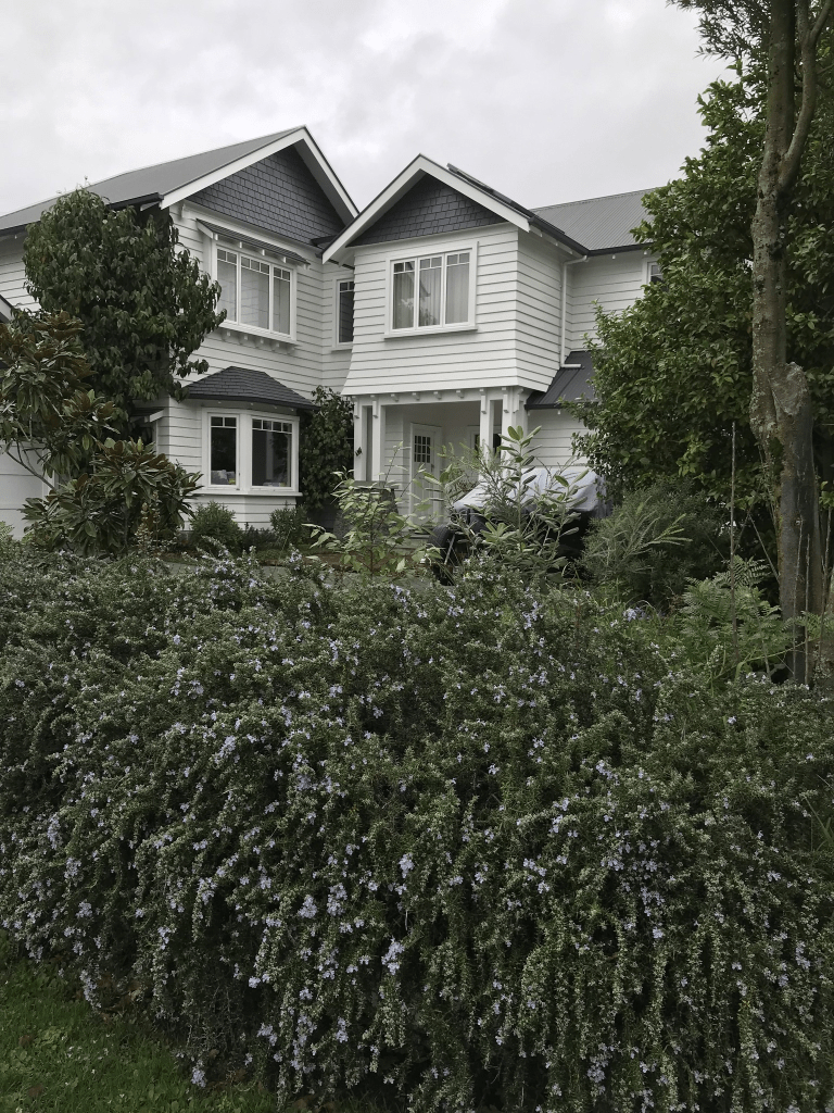
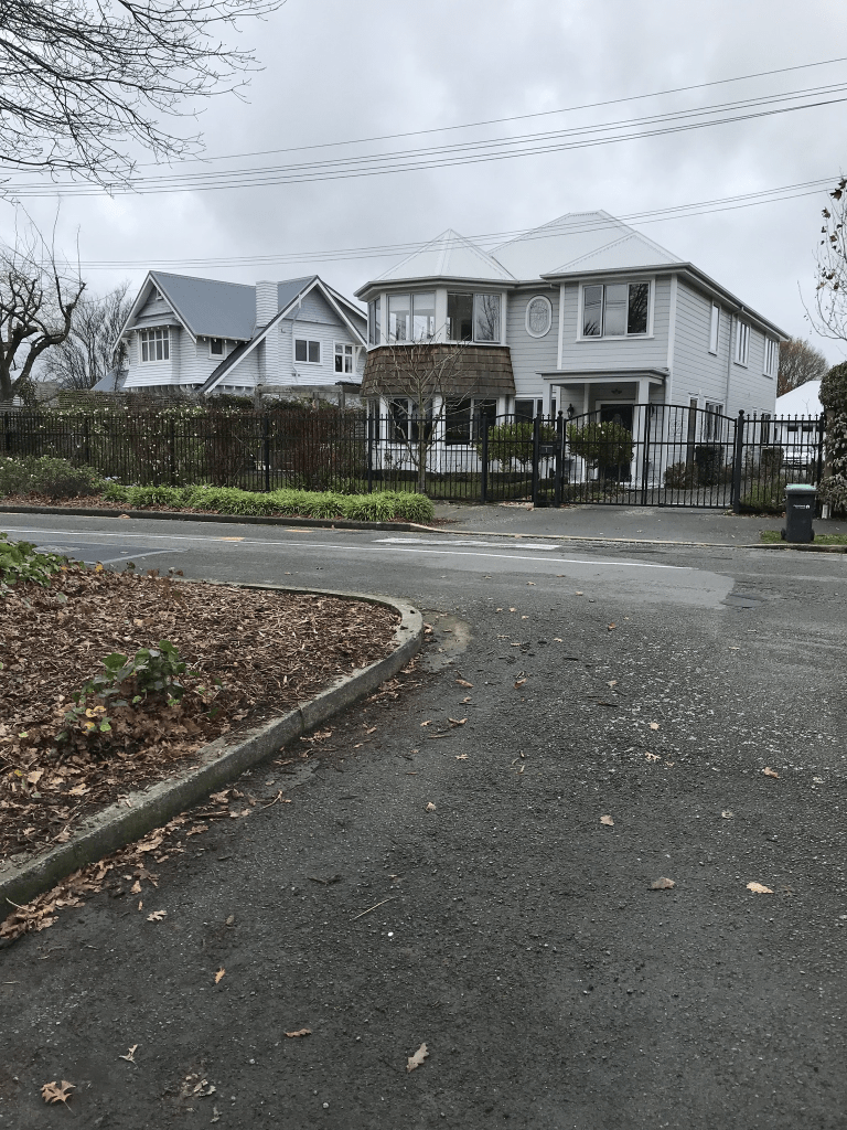
There are still businesses on the corner of Riccarton Rd and Rimu St including a bank. The building that the bank is on looks very similar to the Post Office building that used to be on this corner. The rest of the street has houses with three of them from the 1920s. The house that I liked was built in the 1940s. Another house that I thought was still being built was actually built in 2007. Some nice houses here but beyond my budget.

Titoki Street in the suburb of Riccarton, Christchurch

Titoki St in Riccarton – Named after the titoki tree, native to New Zealand. The name continues the theme of street names in Riccarton which commemorate the Deans families’ efforts to conserve the native forest trees in Riccarton. The naming was also designed to perpetuate the Maori names of plants. Described in 1938 as being in a new subdivision of the Riccarton Estate. First appears in street directories in 1940.

A reasonable amount of information from the library website and nothing that I can add about the name of the street. Not much information on Papers Past and found the same article about the subdivision in 1938. Letter to the editor in 1949 was complaining about the horses in Deans Reserve. In 1957 approval was granted to build a scout den in Riccarton Bush on a site near Titoki St. There was one engagement notice and a couple of death notices.

Only four houses here and two were built in the 1940s. The houses are gorgeous and seriously above my budget. The houses are only on one side of the street and there is parking for Riccarton House and Bush is on the other side.

Kennaway Road in the suburb of Woolston, Christchurch

Kennaway Road in Woolston – Named after the Kennaway family. William Kennaway (1796-1868) bought Rural Section 122, 100 acres on the “South bank Heathcote River near Steam-wharf”. His sons,

William Kennaway (1832-1918) and Laurence James Kennaway (1834-1904) emigrated on the Canterbury, arriving on 31 October 1851. Their younger brother, Walter Kennaway (1835-1920),

arrived in 1853. The road was named by the developer, Warner Mauger. The Tunnel Road now bisects what was their property. Formed post-1997. Naming information supplied in 2006 by

Bob Pritchard, subdivisions officer, Christchurch City Council.Star, 26 June 1909, p 4 [This article says Walter Kennaway was the son of J. H. Kennaway which a descendant, Di Pritchard, said in 2016, is incorrect.]

A reasonable amount of information from the library website. There was also a reasonable amount of information on Papers Past including an article written by Gordon Ogilvie in 1977. As well as the property in Heathcote the brothers had property in South Canterbury. William Kennaway senior of The Shrubbery in Exeter who had been mayor of Exeter three times purchased the Heathcote property for his sons. William junior and his brother Laurence Kennaway arrived in 1851 on board the Canterbury. They were aged 18 and 17. Walter arrived in 1853 on the Tasmania. Charles with his sisters Sarah and Kathrine arrived in 1964. They called their property The Barton. The brothers eventually returned to England and Walter was knighted in 1909. Charles Kennaway in 1872 was washed overboard from the Zealandia on his way to England. The sisters Sarah and Kathrine were on the ship Matoaka in 1869 to return to England but this ship was lost at sea. There were so many conflicting reports about this ship that it took over 6 months before it was confirmed as a missing ship and all lives lost. Laurence Kennaway wrote a book Crusts which was reprinted and there is a copy at the library.

At the Chapmans Rd end of the street there is a small reserve and when I looked at google maps Street view showed empty sections. When I walked the street today there are now buildings on these empty sections. There is also a new cycleway being developed in the area. There were diggers in the reserve and part of the reserve seems to be getting dug up.

Chapmans Road in the suburbs of Woolston and Hillsborough, Christchurch

Chapmans Road in Woolston and Hillsborough – Named after William Chapman (1853-1924). Chapman, a farmer of Opawa, built an accommodation house there. He lived at 55 Opawa Road. He married Sarah Elizabeth, the only daughter of Joseph Garland (1812-1862), a farmer of Heathcote Farm. First appears in street directories in 1901.

A small amount of information from the library website. There were several men with the name William Chapman and two of them had wives called Sarah and two died in 1924. William Chapman also had a son called William but as the son had the middle name of Garland it was easy to figure him out. The family trees on the Ancestry website weren’t helpful but I was able to work it out with death and marriage records. William died in 1924 aged 71 and sadly his wife Sarah died in 1880 in childbirth. This child died in 1882 and she is buried with her mother.

Information from Papers Past has the council planning on a footpath in 1902 and they were still talking about creating this footpath in 1920. In 1902 land owned by J E Garland was for sale and it was described as being suitable for subdivision. J E Garland also had land for sale in 1914. In 1917 the council couldn’t find any record that the council was responsible for maintaining the street. There were a few death notices and there only seemed to be about 6 families who lived here. From 1940s onwards the street was getting more and more industries on it. Brightlings Transport had their business on this street. There was probably only one family still living here in the 1960s. In 1959 some of the land was zoned industrial with the option of more land being rezoned industrial. This was dependent on what happened when the new road tunnel was eventually opened.

This street is now fully industrial and there was a footpath on only part of the street. I wouldn’t attempt to walk this street on a weekday because of the trucks that use the street. The street is partially blocked at the Cumnor Tce end of the street and there is also an entrance to a walkway / cycleway.

Dalziel Place in the suburb of Woolston, Christchurch

Dalziel Place in Woolston – Named after Jean Dalziel Mauger (1908-1996). Jean Mauger was the mother of developer, Warner Mauger. Named in 1997.Information supplied in 2006 by Bob Pritchard, subdivisions officer, Christchurch City Council.

A small amount of information from the library website and nothing that I can add about the name of the street.

This street is probably in Portlink Business Park and one business was an Army Surplus Store. I figured out when looking at a map that streets in this area that are on one side of the railway line are in Woolston and on the other side they are in Hillsborough.

Mary Muller Drive in the suburb of Hillsborough, Christchurch

Mary Muller Drive in Hillsborough – Named after Mary Jeanette Muller (1912-1995). Mary Muller was for many years the principal of Muller’s Transport in Port Hills Road. The road passes over the land where her business and her home were situated. Named in 2000.

A small amount of information from the library website. Mary Muller and her husband Arthur lived at 220 Port Hills Rd from 1966 and previous address was 214 Port Hills Rd in 1960 and 1963. It is quite likely that they lived at the same place but street numbers were changed. The business address was also 220 Port Hills Rd. Previous addresses were Aotea Tce in Huntsbury.and Norwich Quay in Lyttelton. Arthur Cable Muller died in 1974 aged 65.

Limited information on Papers Past but there was a death notice in 1953 when Mary’s mother died. Her parents were Bertha and Frank Bradburn. Bertha’s maiden name was Muller and I searched Ancestry website but couldn’t find a connection between Arthur and Bertha but the information on the Ancestry website was limited. I couldn’t find marriage details for Mary and Arthur.

At least two businesses here used the name Castle Rock. You can normally see Castle Rock from this street but couldn’t see it today as there was low cloud covering the hills. One business was Castle Rock Cafe and I was surprised that it was open on a Sunday.

Lock Crescent in the suburb of Hillsborough, Christchurch

Lock Crescent in Hillsborough – formerly Lock Place. Named because the name “Lock” is a family name that has been prominent in the area “in past years”. Named Lock Place in 2 April 2002. It was later extended to continue out to Chapmans Road, creating a “Crescent”. The name change was requested in 2006 by the developer, Rookwood Holdings, and three existing businesses in the street to reflect the physical change to the road.

A reasonable amount of information from the library website. I thoroughly searched the Ancestry website and couldn’t find anyone with the Lock name or even Locke name living in the area. The closest that I came to was a William Lock who lived on Wilsons Rd in the early 1900s. He was a shunter so he did have a railway connection.

This street is in a business area off Port Hills Rd and the French Bakery is on the corner of this street and Chapmans Rd. I managed to resist the temptation to buy anything at this business.

Brightlings Road in the suburb of Hillsborough, Christchurch

Brightlings Rd in Hillsborough – Named after John Brightling (1842- 1928). Brightling established a brick works there in 1893. First appears in street directories in 1980.

A small amount of information from the library website. Papers Past had an obituary for John Brightling in 1928. He arrived in Lyttelton on the John Templar in June 1866. He was a butcher by trade but after his arrival in NZ he took up a night soil removal contract. He also acquired a paddle steamer known as Avon Steam Packet. He built tramlines and he built the first tramline in Christchurch. He owned two brickworks and the Port Hills one closed in 1928. His other brickworks in St Martins closed in 1963. See Brickworks Lane about the St Martins one.

There was an article in 1974 about the proposed road and for it to be called Brightlings Rd. In 1985 Coca Cola plant requested that they get their water from Christchurch as the water from the Heathcote County wasn’t good enough. Coca Cola is still on this street. There seemed to be a lot of shipping containers on land on this street.

Caerphilly Place in the suburb of Hillsborough, Christchurch

Caerphilly Place in Hillsborough- Named after Caerphilly, a town in the county borough of Caerphilly in South Wales. Developed post-1997.

A tiny amount of information from the library website and nothing that I can add about the name.

This street is in the business area that runs off Port Hills area and there was a footpath for me to walk on. It was businesses here and they all seem to deal with hazardous products.

Vaila Place in the suburb of Woolston, Christchurch

Vaila Place in Woolston – Named after Vaila, one of the Shetland Islands of Scotland. The Thomson family emigrated to Stewart Island in the 1860s from Vaila. A descendant is a director of

the company that carried out the subdivision. Named in 2013.

A small amount of information from the library website. The name Vaila either means foreign isle or valley.

This street is in the Port Link Business Park and the area is still being developed. I was geocaching in the area and decided to walk a couple of streets. There is a new cycleway being built in the area.