Mafeking Street in New Brighton – Named after Mafeking, a South African town. The siege of Mafeking was the most important British action in the Second Boer War, 11 October 1899-31 May 1902. In 1907 the Tramway Board was prepared “to dedicate whatever land was necessary to form Mafeking Street”. First appears in street directories in 1911.
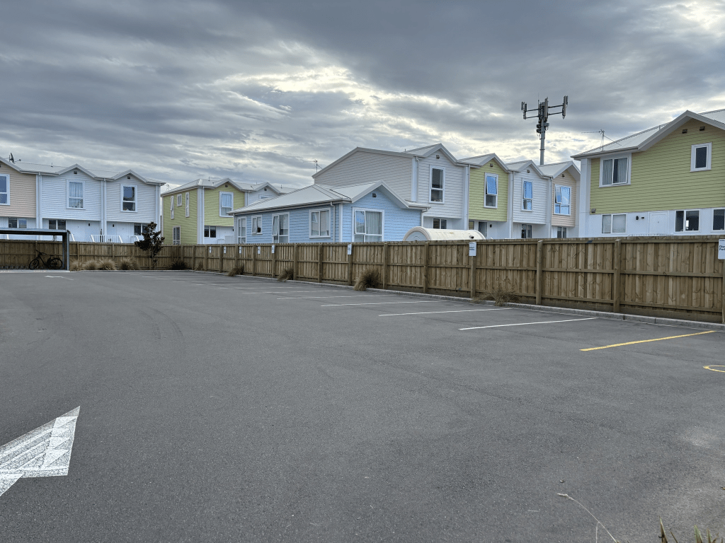
A small amount of information from the library website. Not much information on Papers Past. Most entries between 1903 and 1910 were about the road being formed. In 1903 it sounds like there were only three owners and two of them agreed to pay the costs of forming the kerbs and channelling but the other one refused to pay costs. It was still a private street at this stage. One of the property owners agreed to pay his share of forming the street but not for the kerbs and channelling as the street was likely to need rewidening at some stage. The tramway board also owned land here and they refused to give land for widening the street. In 1914 the New Brighton Bowling Club proposed that they purchase a section at the end of the street. Most entries after this date mention the bowling club. There were a few death notices. In March 1925 there was an ad asking for kind parents to adopt a baby girl. In 1934 the residents protested about a proposal to change the name of the street and obviously the street’s name didn’t get changed. Until 2024 there were three car parks at the corner of this street and Beresford Street. Now there are several units that were built in 2025 under a progressive ownership scheme called Kainga Maha.
I walked this street a couple of weeks ago as I was early for a geocaching event being held nearby. There are about 4 houses built between 1915 and 1922 but it wasn’t possible to get photos of them. The bowling club is still there. I wouldn’t like to live here as the parking was terrible. Cars were parked over fire hydrants and on the footpath.
Sheehan Street in Halswell – Named after John Sheehan (1867?-1925). Additional information: Streets named for significant figures in the area. John Sheehan was a member of the Canterbury Agricultural and Pastoral Association and was well known as a breeder and prize-taker at the shows in connection with carriage, blood and draught horses.
A small amount of information from the new library website. I wanted to look at the council minutes from 2018 but it came up with page not found. I actually not sure that they got the correct John Sheehan. John Sheehan who died in 1925 was a horsebreaker and lived on Lincoln Road and then Lyttelton Street. He was moving furniture from Lyttelton Street to his new place in Milne Street, Spreydon when he collapsed in Strickland Street. He died in hospital aged 58. I am amused that findagrave have his occuption as horsebraker.
The other John Sheehan lived in Tai Tapu and Halswell and died in 1904 aged 54. He was a farmer and horse breeder.
I searched and couldn’t find any John Sheehan in connection with the Canterbury Agricultural and Pastoral Association. I also couldn’t find an obituary for either of them which would have given the details that I wanted.
The Ancestry website didn’t help to sort out which John Sheehan the street would have been named after. I also checked old maps but they didn’t help.
The houses on this street were built between 2018 and 2023 and none of them appealed to me. I walked this street a couple of weeks ago and at least there is a footpath on both sides of the street.
Peak Lane in Halswell – Named after Peak Hill. Peak Hill is a prominent hill on the shores of Lake Coleridge, Canterbury. It is 1240 metres in height. Date Named: 15 March 2022.
Subdivision: 42 Gammack Drive. The road names are themed for the mountains in the Southern Alps that are visible from the site.
A small amount of information from the new library website. Peak Hill possibly was given that name because of the steep terrain. It probably isn’t technically a tautology place name but I am going to count it as such a place name.
I managed to find a map that showed the subdivision which explained why they said that the subdivision was at 42 Gammack Drive. A huge property with an address on Halswell Junction Road was sold for a huge amount of money and I am now going to have to walk Gammack Drive fairly soon. The driveway for the Halswell Junction Road property became Gammack Drive. There was a large part of the section which became 42 Gammack Drive but there was never a house there. This section was eventually subdivided after the original section that it had been part of was subdivided. Confused as I was at first but managed to find maps which showed the subdivision.
There are only 6 houses here built between 2023 and 2025. I didn’t walk this street as there isn’t a footpath and it just looks like someone’s driveway plus several cars parked along the side of the tiny lane. You wouldn’t want a large vehicle trying to squeeze past the parked vehicles.
Arrowsmith Drive in Halswell – Named after Mount Arrowsmith. Mount Arrowsmith is the tallest peak in the Arrowsmith Range, which runs south-west to north-east, parallel to the Southern Alps, in the Ashburton District. It is 2781 metres in height. Date Named: 15 March 2022. Subdivision: 42 Gammack Drive. The road names are themed for the mountains in the Southern Alps that are visible from the site.
A reasonable about of information from the new library website and nothing that I can add about the name of the street. I am not sure about it being developed at 42 Gammack Drive as there is a totally different street where 42 Gammack Drive would have been. Edited as I found the council minutes from March 2022 and it is stated that there are three new street names for the development at 42 Gammack Drive. I had planned on walking that street but a geocacher from Kaiapoi cycled past me and stopped for a chat and I ran out of time.
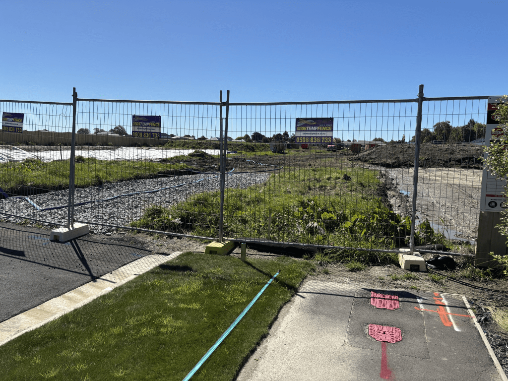
Arrowsmith Drive actually runs off Skibbereen Drive and is still being developed. At this stage there are only a few houses and I suspect that the street will eventually join up with Halswell Junction Road. I had a good look at google maps to try and work it out. One good thing is that there is a footpath on both sides of the street. I will have to come back once the street has been fully developed.
Edited as I went looking for why Mt Arrowsmith was given that name. It is thought that it was named after John Arrowsmith (1790 – 1873) a cartographer. His uncle was also a cartographer.
Saxby Lane in Halswell- Named after Miss Saxby who married Halswell dairy farmer Charles Candy. Named in 2018
A small amount of information from the new library website and nothing on the old library website.
Candys Road was named after Charles Candy and I have already walked that street and practically nothing on Papers Past for either Charles or his wife Emily nee Saxby. She died in 1916 aged 89 and they are both buried in the Halswell cemetery.
Only 12 houses on this street and they were built between 2018 and 2022.
I only walked a few metres here as the footpath only went partially along the street. Nothing stood out for me but the houses seemed to be a reasonable size compared to houses on the surrounding streets.
Charlesworth Street in Woolston – formerly Charlesworth’s Road or Charlsworth Road. Named after Captain William Charlesworth (1814-1875). Charlesworth lived at Saxon Villa on Ferry Road. [There is a variation on the spelling of his surname. Sometimes it has no “e”.] In 1873 he offered to dedicate to the Heathcote Road Board, land through his property for a road. Charlesworth’s Road is first mentioned in the Star in 1877 in a report of a meeting of the Heathcote Road Board. Becomes Charlesworth Street in street directories in 1892.
A reasonable amount of information from the library website. A lot of entries on Papers Past. Under Charlesworth’s Road there were a few ads and in 1893 there was a dairy farm for sale and it was a large block of land of 90 acres. In 1885 the annual Freethought Picnic was held on a property on the street.
Under Charlsworth Road there was only one entry and it was about a culvert and floodgate at the Linwood Ave end of the street. Under Charlsworth Street there were just a few ads.
Under Charlesworth Road there were repairs to the road in 1867. In the 1870s the road was shingled plus there was a complaint in 1876 of the culvert across the road being too short. In 1890 there was a subdivision of land here. Between 1901 and 1910 only Mrs Dixon is mentioned in Papers Past. Complaints about drainage in 1916 and 1917 and they were the last entries that I found under that name of the street.
Charlesworth Street was first mentioned in 1885. In 1901 there was a discussion about forming a footpath. A dairy farm was for sale in 1906. In 1903 a body was found in Mr Joseph Dixon’s paddock. In 1908 the Woolston Methodist Cricket Club had grounds in the street. From 1915 onwards lots of death notices and ads with a few birth notices. Drainage issues gets mentioned several times. In 1922 a City Council Ranger Walter Eugene Theilman was assaulted by Lawrence Taylor over an impounded horse. Lawrence Taylor attacked Walter Theilman with a shovel plus called him racist names. Obviously there were obscenities used as well but the newspaper used asterisks instead of the words. In the 1920s through to 1944 most entries were for the dairy farm belonging to T C Fordham. He died not long after leasing the farm out in 1944.
In 1945 there was talk about building a road tunnel and how it was likely to affect this street. The 1950s was mostly discussion about sewage works. In 1960s the discussion was about a new fire station and that it would be on Ferry Road with a side entrance on Charlesworth Street. There was a new street formed off Charlesworth Street especially for the fire station. Grazing land was available on this street and in 1972 sheep were attacked by dogs and killed. There was a lot of discussion about purchasing land for a new school on this street. Lots of arguments for and against this idea and in 1979 it was decided against it being a suitable site for a school as there was a battle over the purchase price. At one stage there were plans for two schools and houses. Power pylons were mentioned in connection with the same block of land. A reserve was then planned for between Charlesworth Street and Humphreys Drive. In 1981 one span of the old South Brighton Bridge was used to build a new bridge across the drain at the Linwood Ave end of the street. In 1991 and 1992 school children planted native trees in the reserve. They also had a rabbit plague in the reserve.
The Cats Protection League set themselves up in the street and they are still here. It is a very interesting building these days but going from street view from before the earthquakes it was housed in someone’s home. Trees for Canterbury are also on this street and does anyone else remember them collecting milk cartons for the trees.
I actually walked this street in September last year and I was possibly geocaching in the reserve. The houses here range in date from 1905 to 2025. There is also a house from 1910 and another from 1915 but I couldn’t see any of the older houses as they were surrounded by trees.
I ended up looking at old maps as there were many entries on Papers Past about Linwood Ave. All the maps from 1930 to 1983 have Charlesworth Street going in a straight line from Ferry Road to Linwood Ave. I couldn’t find the exact date for the street no longer going as far as Linwood Ave but it was probably in the 1990s. I am basing this on Shearwater Drive which runs off Charlesworth Street and this street was developed in the 1990s. Shearwater Drive curves off Charlesworth Street at an angle and the part of Charlesworth Street that used to go all the way to Linwood Ave is now a walking track.
Bell’s Creek was first mentioned in Papers Past in 1864 but most entries started from 1870 when there were complaints about it. The creek frequently flooded because it was choked up with weeds. In 1884 a bridge over the creek was mentioned. In 1900 a William Griffin was charged with discharging sewage into the creek which was described as a natural watercourse. There was possibly more than one bridge across the creek with one at Randolph Street and another at Aldwins Road. In the 1890s the state of the culverts were described as dangerous. They were wooden culverts until they were replaced with concrete ones in 1910. In many places there was talk of covering the creek and in 1925 the cost of covering it in Monica Park was discussed. In 1924 it was proposed that a weir be built and they were still talking about a weir in the 1930s. The bridge over it at Richardson Tce was widened in 1913. The Gas Company on Moorhouse Ave was fined for discharging in the creek in the 1970s and this pollution was carried by the Heathcote River as far as the Estuary. The creek was mentioned on Papers Past in connection with Bass Street and Edmonds Street so I went looking at maps. The best map was from 1912 and it shows the creek starting near Fitzgerald Ave and wiggling it’s way to the Heathcote River by Richardson Tce. A 1963 map that was a replica of an older map shows the creek as starting near some ponds and sandhills near Fitzgerald Ave. I did find an entry on Papers Past that mentioned it starting at a lagoon. Trying to compare this map with a modern map the creek possibly started near Beverley Park. I couldn’t find any maps that showed it crossing Moorhouse Ave. I think that the creek was named after John Terras Bell who owned several blocks of land in Christchurch and he was a land agent. Over the years the creek has been diverted and straightened and flows through concrete culverts now.
Edmond Street in Woolston – information from old library website – formerly Edmonds Street. Named because it is near the site of the former Edmonds Sure to Rise Baking Powder Factory. Edmonds Street is first mentioned in the Star in an advertisement in 1886. By 1893 it is Edmond Street.
Information from new library website – formerly Edmonds Street. Named because it is near the site of the former Edmonds Sure to Rise Baking Powder Factory. Edmond Street is first mentioned in the Star in 1893 when a three roomed house is advertised for sale or to be let. Edmond Street and Edmonds Street names appear to be used concurrently. Returned to its original name after the Edmonds family January 2018 at the request of an Edmonds’ descendant.
I haven’t done much research on the Edmonds family or Thomas Edmonds as there are several entries online for them. Thomas Edmonds was described as a grocery and later on as a manufacturer with his address in Ashbourne and then in Randolph St and Ferry Road.
Note the signposts in the sign have Edmonds Street on them. I am going to disagree with the library website about the reason for the name of the street. Yes there is the obvious connection to the Edmonds Factory but the library haven’t mentioned that Thomas Edmonds had a grocery shop on Edmonds Street. It is highly likely that this shop was on the corner of Randolph Street and Edmonds Street. His original shop that was on Edmonds Street was mentioned in Papers Past as being moved to Ferrymead in 1979.
I searched Papers Past under both Edmond Street and Edmonds Street as I quickly realised that both names were used. Most entries over the years were ads and death notices. Sewers were connected in 1927 and in 1929 there was a fire at a Wheelwright shop. The street was tar sealed in 1946. In 1981 a man was beaten up in his home on this seat. Sounded like an ex-girlfriend got her friends to beat him up.
Drainage issues were mentioned and it looked like a drain at the dead end part of the street. After checking old maps I eventually found Bell’s Creek on a map from 1912.
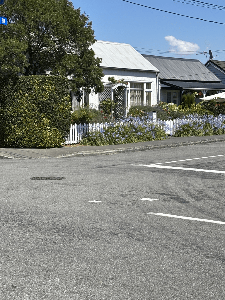
I walked this street last week and there are still some lovely cottages on the street dating from 1905. I managed to get a photo of the 1905 cottage and one from 1910. At the end of the street some lovely houses have been demolished and replaced with ugly apartments. The demolished houses would have been near Bell’s Creek so possibly had earthquake damage but going by what a local told me there wasn’t anything wrong with the houses and it is just a greedy developer. I was surprised that this street was in Woolston as I was expecting it to be in Linwood but I think that Aldwins Road is the boundary between the suburbs.
I have now finished walking Heathcote Valley apart from the Summit Road. The library has the Summit Road as part of Heathcote Valley. The area was named after Sir William Heathcote who was a member of the Canterbury Association. There was an article in Papers Past for 1848 with a list of the members and it certainly explains street and place names in Canterbury. I will complain that they spelt Lord Lyttelton’s name wrong. The secretary of the Association was a H M Lefroy and I wish that I had known that when I was looking after Charlotte. I could have had great fun winding her up as she was so scathing and nasty about the colonies. Sir William Heathcote was born in 1801 and died in 1881. I don’t believe that he ever came out to New Zealand but a Alfred S Heathcote came out to New Zealand in 1851. He was possibly a nephew of Sir William Heathcote but I haven’t double checked on the Ancestry website. Edited to say that it is unlikely that Alfred Spencer Heathcote was related to Sir William Heathcote.
There were sections being sold in Heathcote as early as 1851. By 1855 the parish of Heathcote was being mentioned in Papers Past. Heathcote was a busy place between goods and people coming over the Bridle Path and goods coming by sea from Lyttelton to the Heathcote Wharf. The Heathcote Ferry gets a lots of mentions on Papers Past. Once the railway tunnel was built between Lyttelton and Heathcote there was no longer a need for transporting goods by sea from Lyttelton. One of my Cornish ancestors worked on the railway tunnel and he was recruited by the Melbourne company that was building it.
Bridle Path Rd – formerly Heathcote Valley Road. Heathcote Valley Road is mentioned in The Lyttelton Times 1860- 1904. Bridle Path Road first appears in street directories in 1903, running from Sumner Road to Port Hills.
A small amount of information from the library website. In Papers Past under the name Heathcote Valley Road the earliest entry I found was in 1865 when the mailman was delayed because of a collision between his cart and some cattle. A few ads for the selling of property in 1874 and 1880. There was a complaint about the state of the road in 1875. Last entry under this name was in 1904.
It also seemed to be called Bridle Path or Bridle Path Road from 1858 when there was discussion about the cost of forming the road. In 1864 there were repairs to the road. Most entries between 1870 and 1900 were about the condition of the road and the cost of repairs. From about 1910 onwards there were birth and death notices plus social notices. Fruit trees were mentioned.
In 1917 the hillside church of St Marys was mentioned and in 1924 it was the 58th anniversary of the church which was a wee church nestled on the hillside on Bridle Path Road. In 1925 there was discussion about moving the church and by 1926 it was on a new site on Truscotts Rd.
In 1920 there was talk about building a road tunnel and this obviously didn’t happen until a few decades later. The school is mentioned in 1929 plus a building called The Tea House. The road was widened in 1956. In 1961 to 1963 there were lots of complaints about trucks and heavy machines speeding on the road. From 1970s onwards the Ferrymead Trust is mentioned. Lots of ads over the years because of fruit trees, vegetables and the Riding School. The Riding School was mostly mentioned in connection with a nearby street. There was a dog dosing strip established in 1977 and the Heathcote Rifle Club was mentioned in 1972.
Who remembers dog dosing strips? I remember that we had one near our house in Lyttelton and this was possibly why I was scared of dogs for most of my life. I only got over this fear after living in the UK for 5 years.
Because both names of Heathcote Valley Road and Bridle Path Road seemed to be used at the same time for several years I looked at old maps. The maps were equally confusing. In 1879 it was just called Bridle Path and looked like an extension of the track over the hill. No name on some of the earlier maps but a map for 1930 has it as Heathcote Valley Road. The map for 1941 has it as both Bridle Path and Heathcote Valley Road. From about 1958 it is only Bridle Path Road.
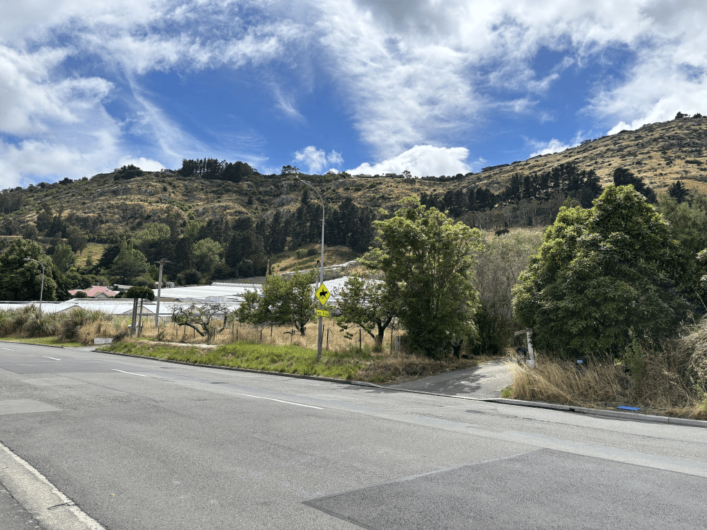
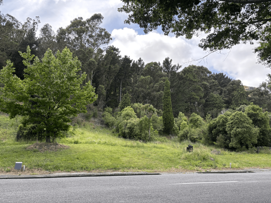
The houses here are from most decades dating from 1905. At least half the houses are from 1920 and earlier but it was almost impossible to see them because of all the trees in this area. Starting from the end where there is the entrance to the Gondola there are a few houses here. Most houses are on only one side of the road with trees and bush reserve on the hillside of the road. Then there is the Domain plus the school. On the other side there is the rifle club near the entrance to Morgans Valley. Houses then a cafe and the paddocks for the riding school. There are glasshouses on the other side of the road and then more trees are bush. There are a few houses on the hill side of the road but they are well hidden by the trees. Then there is Five Acre Farm just before you reach the football club grounds. Walk past Ferrymead Reserve and follow the river and you are soon at the bridge. I am sure that when I was younger that there were a lot more glasshouses along this road.

 Lytteltonwitch's Walking the streets of Christchurch Project