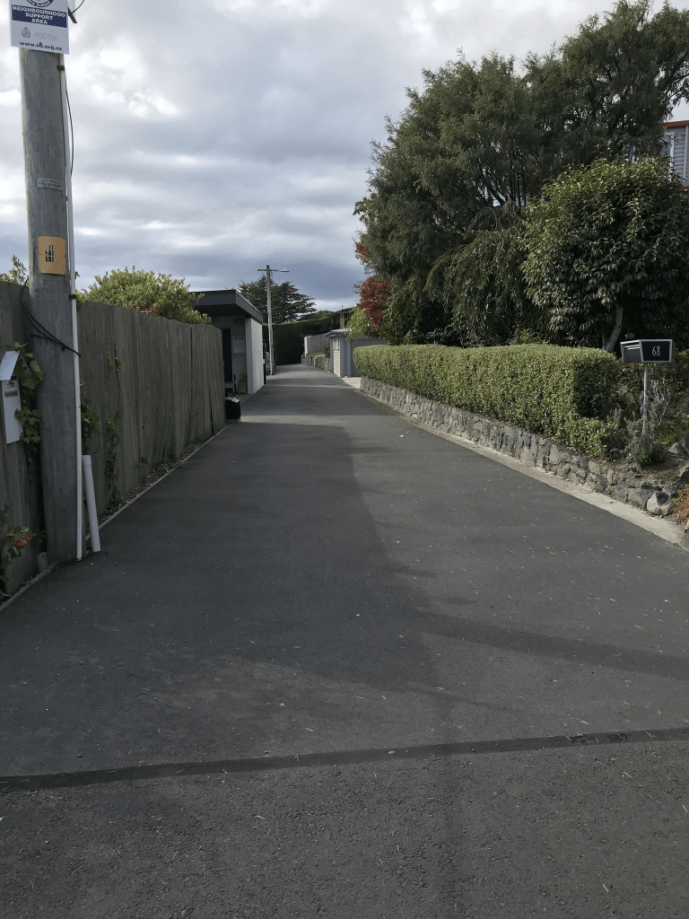
The Brae in the suburb of Mt Pleasant, Christchurch

The Brae in Mt Pleasant – Named after The Brae, the Scottish home of Robert Taylor Smith (1891?-1956). Smith was for many years a motorman on the Sumner tram route. First appears in street directories in 1940. Smith is a resident

A small amount of information from the library website. A quick check on the Ancestry website and Robert Taylor Smith lived at 18 St Andrews Hill until 1941 and after that his address was 23 The Brae. He was possibly living in the same house but the address changed. Papers Past had several ads and death notices. In 1962 there were several articles regarding the status of the road. The situation had started in the 1950s where the council requested that they take over the road. In early 1962 the government had refused to allow the council take over the road as a public road. It was still a private road at this stage. It was still being discussed in November 1962.

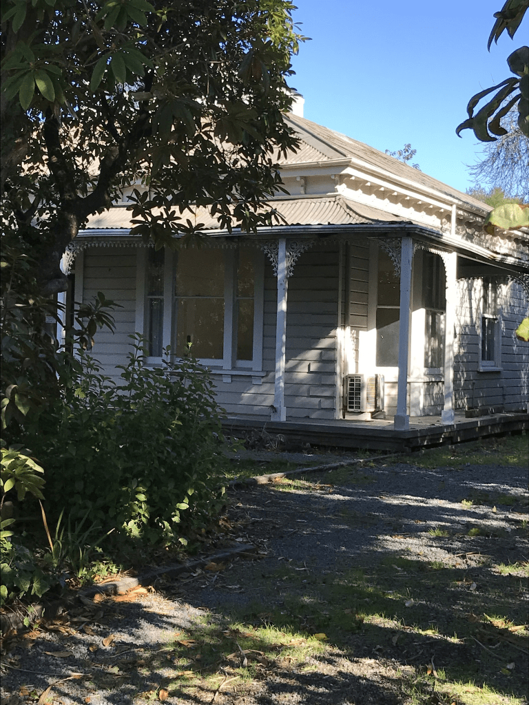
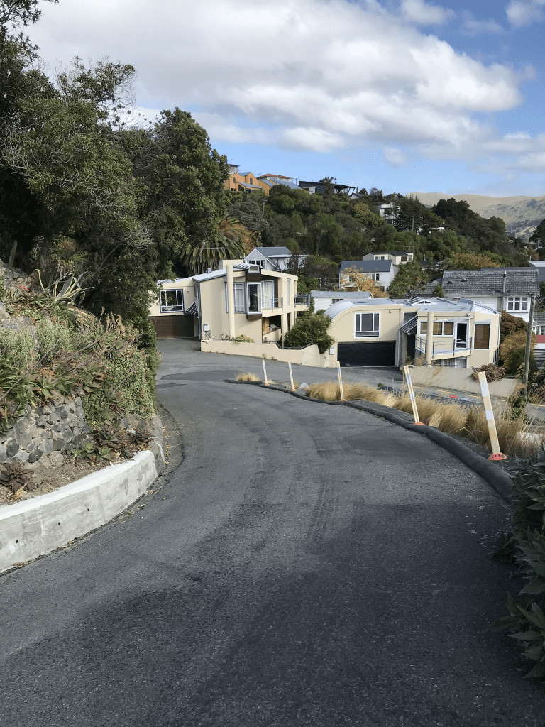
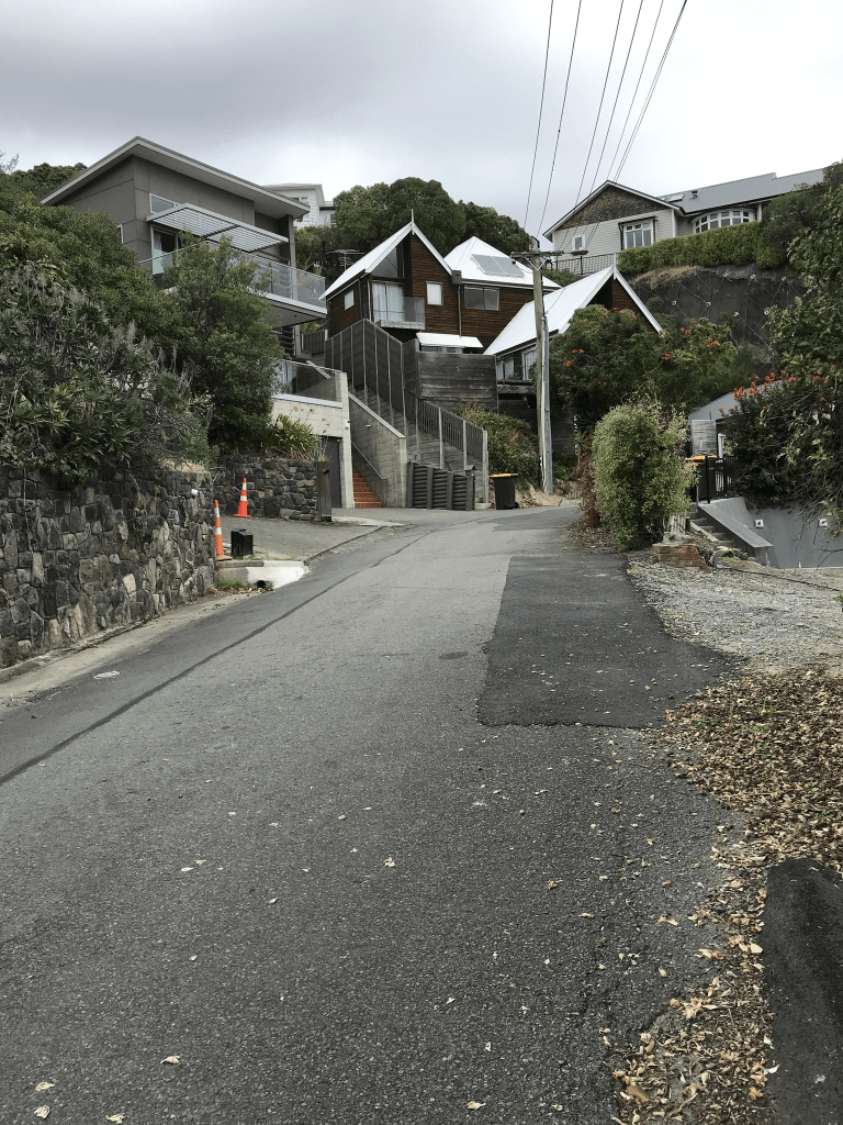
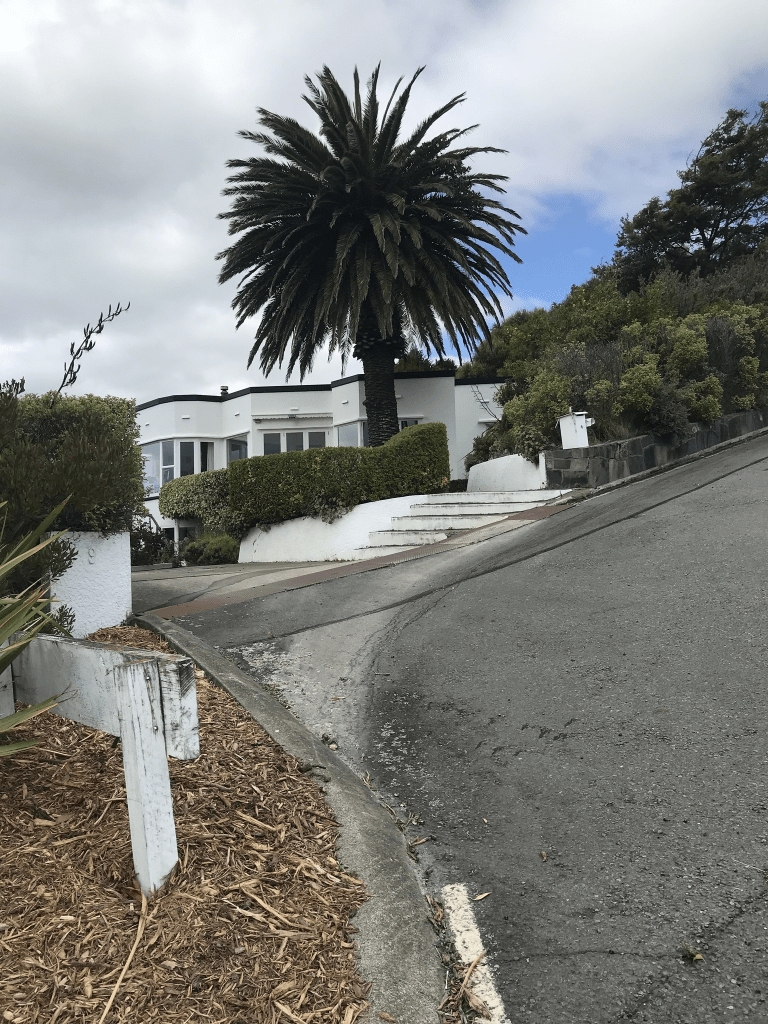
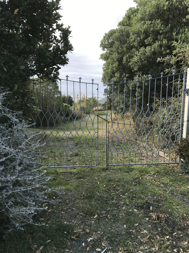
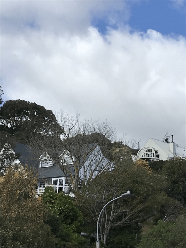
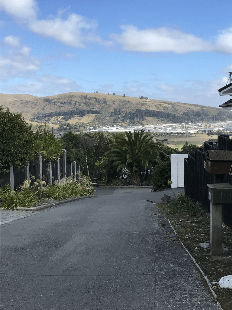
This is a narrow street with no footpaths and very little parking available. There are only 22 houses here and two are from 1920 including No 23 which was Robert Smith’s address. I couldn’t see these older houses as they were off the road up a high bank. Houses cover most decades and several are recent rebuilds.

I did wave to a man sitting in the lounge of one of the houses and he either didn’t see me or ignored me as he didn’t realise who I was. Great views from this street but the lack of parking puts me off.

Rangatira Terrace in the suburb of Mt Pleasant, Christchurch

Rangatira Tce in Mt Pleasant – formerly part of Part of Major Hornbrook Road. First appears in street directories in 1947.

A tiny amount of information from the library website. Not much information on Papers Past apart from ads for sections and houses. The earliest entry was in 1951 was about a house that had been built and consent rules weren’t followed. I didn’t look at entries for Major Hornbrook Road as I couldn’t work out which ones would have been for this part of the street. On old maps the street was Major Hornbrook Rd on the map for 1950 but Rangatira Tce on the map for 1958.

I actually walked most of this street in February and there are houses on only one side of the street. There is a park on the other side of the street. There are only 5 houses here and one dates from 1920. When I went to write this street up in February I realised that I had missed part of the street. It looks like it ends by the park but when checking maps I realised that it goes all the way to the Main Rd. Today I walked from the Main Rd and that part it is now a walkway until you get to near the tennis club.

Hilltop Lane in the suburb of Mt Pleasant, Christchurch

Hilltop Lane in Mt Pleasant – Named because it runs to the top of Cannon Hill. Named by the developer, Cannon Estate Ltd. First appears in street directories in 1964.

A small amount of information from the library website. The developer gave the same information in an article on Papers Past.

There were a few ads for houses in Papers Past. The rest of the articles on Papers Past were confusing. In 1968 an application for tearooms at the intersection of Summit Rd and Hilltop Rd, Mt Pleasant was declined. In 1988 Hilltop Lane Reserve was to be taken over by the Mt Pleasant Community Centre. Another article mentioned Hilltop Lane off Summit Rd.

This lane is a tiny lane that doesn’t go to the top of Cannon Hill and I checked old maps but they didn’t help. I couldn’t find any street called Hilltop Lane going to the Summit Rd. I couldn’t find a reserve near Hilltop Lane. I checked details of nearby streets and couldn’t find any evidence that they were called Hilltop Lane. I think that a visit to archives is required to solve this mystery.

There is only 18 houses here and only about 6 of them date from the 1960s. The rest were rebuilt after the earthquakes. There are still a couple of empty sections. The rebuilt houses seem to be mostly made of glass and they do have great views. I ended up chatting to a local and she said that it is a lovely and friendly street to live on. She also said that it was a mess after the earthquakes.

Janice Place in the suburb of Mt Pleasant, Christchurch

Janice Place in Mt Pleasant – Named after Janice Macleod, née Moore. Janice Macleod is the daughter of Samuel James Moore (1898- 1978) of B. Moore & Sons Ltd. He was a member of Cannon Estate Ltd, the company which subdivided Cannon Hill. First appears in street directories in 1970.

A small amount of information from the library website and nothing that I can add about the name. There was an article in Papers Past about the naming of streets written by one of the developers. Papers Past mostly had ads for the sale of sections and houses plus a few death notices.

Most houses here were built in the 1970s and 1980s but there were a few built more recently. There were a couple of houses that I quite liked. It looked like a nice street with nice gardens and there was a footpath on both sides of the street. Trouble was that the footpath was frequently blocked by cars parked on it. There was a walkway at the end of the street that led to Clementine Lane.

Hobday Lane in the suburb of Mt Pleasant, Christchurch

Hobday Lane in Mt Pleasant – nothing on library website for this street.

I suspect that this tiny lane was named after a person but I couldn’t find anyone with that name who lived here. Papers Past mostly had ads for houses and sections. The houses here were built in the 1980s and I didn’t actually walk this tiny lane as it just looked like a private driveway.

Clementine Lane in the suburb of Mt Pleasant, Christchurch

Clementine Lane in Mt Pleasant – Named after Clementine Way, a street in the Wellington suburb of Chartwell. Cannon Estate Ltd., developers of the subdivision where this street was formed, also developed Chartwell in Wellington. Chartwell in Kent, England was the family home of Sir Winston Churchill (1864- 1975) and his wife, Clementine. Named in 1967 and first appears in street directories in 1972.

A small amount of information from the library website and nothing that I can add about the name of the street.

Not much information on Papers Past and there was mostly ads for houses and sections plus a few death notices. Most houses here were built in 1970s but most looked more modern. There wasn’t a footpath on this street but it was a narrow one.

Michael Avenue in the suburb of Mt Pleasant, Christchurch

Michael Ave in Mt Pleasant- Named after Michael John Wood Davis (1926-).Davis, a surveyor, was chairman of Cannon Estate Ltd., developers of the subdivision where this street is formed. First appears in street directories in 1966.

A small amount of information from the library website and nothing that I can add about the name of the street.

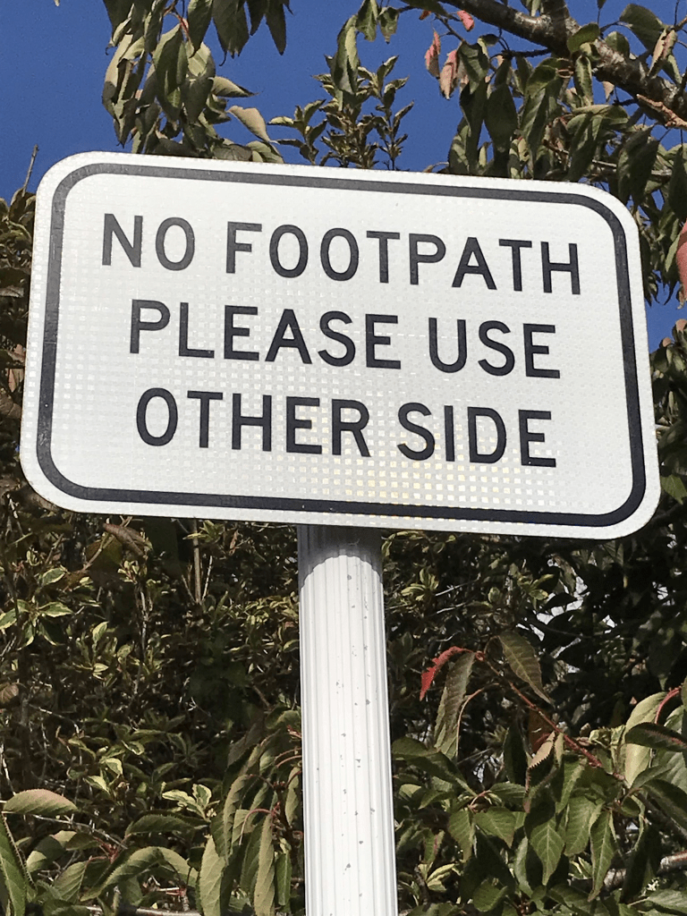
Papers Past had mostly ads for section and houses for this street. There were a few modern houses here including a really ugly one that looked like a shed. Wish that I could have got a photo it. Most houses here were built in the 1960s. There was a footpath on only one side of the street and I was amused that there was a sign saying this. There were some nice gardens on this street.

Menlo Terrace in the suburb of Mt Pleasant, Christchurch

Menlo Tce in Mt Pleasant – formerly part of St Andrews Hill Road. Named after Menlo in Galway, Ireland. Named by Walter Edward de Thier (1926- 2003). His mother lived in Menlo before emigrating to New Zealand. First appears in street directories in 1939.

A small amount of information from the library website and I don’t think that the information is correct. I checked various old maps none of them showed this tiny street as being part of St Andrews Hill Road. Walter Edward de Thier also lived in North Canterbury plus going by his DOB he would have been 13 years old when he named the street. The street is more likely to have been named after Walter Charles de Thier (1883 – 1973) who lived in this area and owned land here. I also couldn’t find a link to Ireland for either de Thier family. Walter de Thier ( 1883 – 1973) wrote a book called Sumner to Ferrymead and as it is available at the library I will be borrowing it. The library website said they got their information from this book.

Not much information on Papers Past apart from a few death notices and a few ads. Only 8 houses here and at least three are from the 1930s but I couldn’t tell as all the houses looked modern.

Baxter’s Drain in the suburb of Addington, Christchurch

As a change from writing about streets I thought that I would research a drain. An email from the council mentioned Baxter’s Drain so I had to find out about it. A small amount of information from Papers Past. Most entries were from the Drainage Board as early as 1885. An engineer report mentioned a sump to be placed at the exit of the drain at Hazeldean Rd. A couple of months later they said that the drain at Hazeldean Rd needed reconstructing. Must have been a dispute about who was to pay for this as the Sydenham Borough Council said it was under the Drainage Board control. At least one entry from Board of Heath. Note there was a big problem with health issues because of the swampy land that Christchurch was built on. In 1889 there were several objections to the Sydenham Borough Council doing the work on the drain as it should be the Drainage Board’s responsibility. There seemed to be an issue with reconstruction of the culvert at Hazeldean Rd because of the railway line. The same year there were articles about the nuisance arising from slops entering the drain from side channels. Typhoid was a huge problem in the city causing many deaths. In 1896 the cost of doing repair work was mentioned. The drain isn’t mentioned again until 1904 where a concrete invert to be placed in drain between Burke St and Fairfield Ave as diverting it in Ruskin St would be too expensive. Pipes had been laid in Fairfield Ave going through Mr Reeves property. There was a suggestion from someone that the drain should be filled in but obviously that didn’t happen. In 1906 there was a complaint about the drains near the cemetery and an engineer reported that it should be replaced or piped. In 1907 Julia Bennett in Disraeli St stated that if the Drainage Board would cover the concrete invert being laid through her premises she would grant a deed pf easement. The cost of the concrete invert drain from the cemetery to Disraeli St was £58. There were no more entries after 1908 about the drain.

I believe that Christchurch started installing a sewage system in about 1882. I used to own a property that backed onto the cemetery and there were two caveats on the title. One was because of the cemetery and the other was because of this drain. Baxter’s drain was upgraded and reserves established. Several older houses were demolished to create the reserves but I can’t remember the date. I know that it was after 2005 and before 2009. There was a plaque at the Fairfield Ave entrance to the cemetery about the first drain in Christchurch but sadly it was recently stolen. Plaques have been stolen in the cemetery as well. The drain one is especially annoying for me as I have a geocaching lab adventure that used that plaque for one of the questions. I did manage to find a map of Baxter’s Drain but I couldn’t find the map which showed all the drains and waterways under Christchurch. This was annoying as I know that I have previously looked at this map and it was fascinating.

Tainui Street in the suburb of Somerfield, Christchurch

Tainui St in Somerfield – First mentioned in The Press in 1910 when T. W. Jacobs advertises 2 new 4-room houses for sale there.

A tiny amount of information from library website. Note library says it is in Spreydon but property valuation website says it is in Somerfield. Real estate agents say Lower Cashmere.

There were lots of entries on Papers Past as there were several streets with the same name in New Zealand. Lots of death notices plus houses for sale over the years. Cecil William Rudkin a knitting factory foreman was mentioned in 1918 as he was applying for exemption for going to war. The Rudkin family were mentioned a few times on Papers Past and they lived at 11 Tainui St. Trees were planted on the street in 1922 and in 1925 a house and shop was destroyed by fire. In 1912 a large property was available and it had 80 fruit trees on the property. No dramas in this street. I mentioned this street in my write ups about Darley St and Moana St. Part of Tainui St became Moana St in the early 1920s the street is extended. The map for 1930 shows the street as looking like a weird T shape but it now just goes from Somerfield St to Darley St.

I actually walked this street back in January and it is a pleasant tree lined street. Slightly scary as it was a very windy day and a tree branch had fallen onto the footpath. I also chatted to a local who commented about the strong winds and her garden. Most of the houses on the street date from 1910 to 1920. There are newer houses but they are mostly on back sections. When I walked the street there were large red ribbons tied around some of the trees. I did like this street.