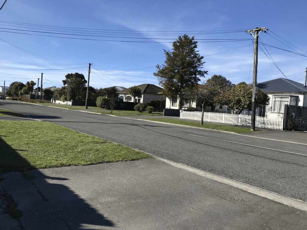
Inglis Street in the suburb of Phillipstown, Christchurch

Inglis Street in Phillipstown – Named after John Inglis (1822- 1884). Inglis was the manager of Matheson’s Agency. He was also associated with the establishment of primary school education. He died in England where he had gone for medical treatment. First appears in the Star in 1883 when building sections in Inglis Street are advertised for sale by John Inglis, Land & Estate Agent. First appears in street directories in 1898

A small amount of information from the library website. Papers Past had the usual birth and death notices. The earliest information on Papers Past was an ad for building sections in 1883 and John Inglis was the real estate agent. A Mr Jermano in 1898 wasn’t having a good year as he had a house fire plus was burgled. This street had a few fires over the years but it was the one in 1910 that caught my attention. The owner of the house was a Mr Barrett and I will be checking my family tree as he is possibly an indirect ancestor.

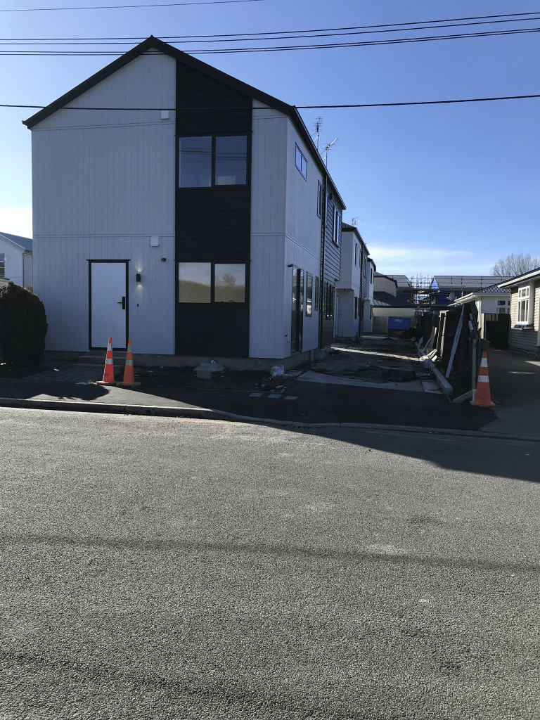
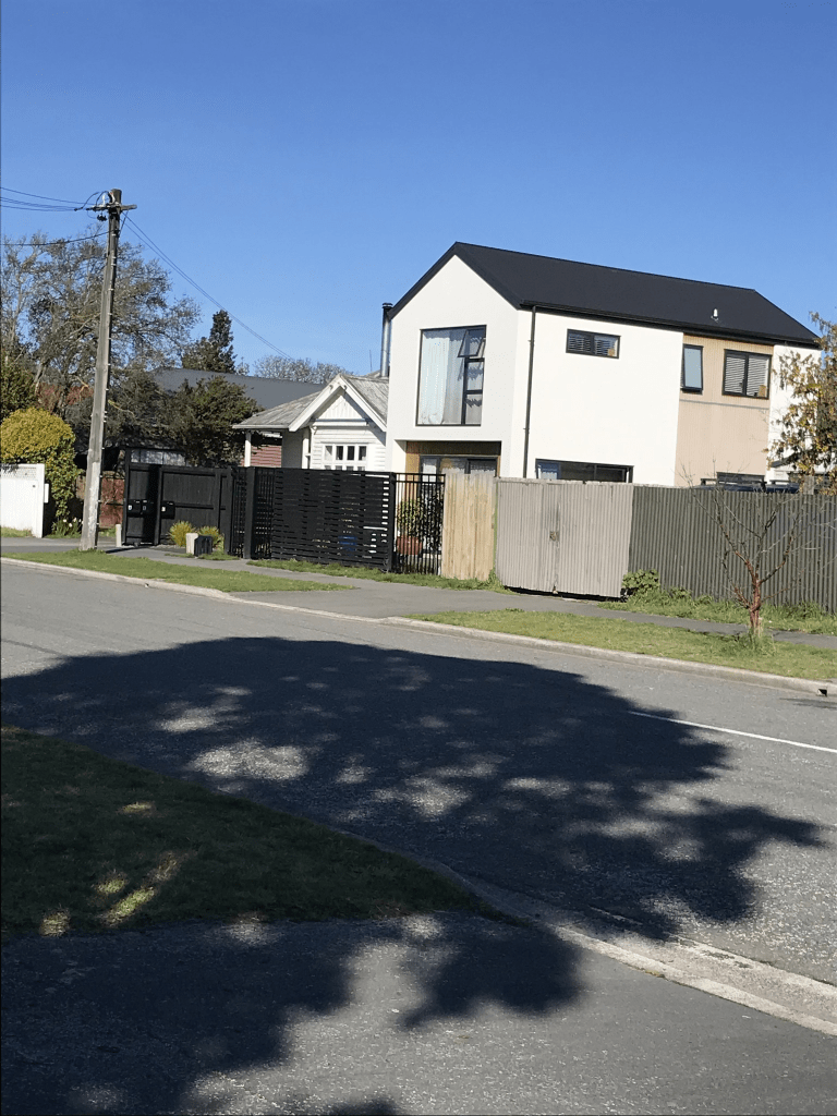
There are a couple of houses from 1910 on this street but one is in a fairly poor condition. Several houses from the 1970s and several from 2023. It is another street where I suspect that the older houses will continue to be demolished.

I now wish that I had walked the nearby Mathesons Rd as there is likely to be a connection to John Inglis. I will have to go back to walk it fair soon.

Maps are slightly confused here. Apple maps correctly have the street running from Olliviers Rd to Mathesons Rd but Google maps have the street continuing past Olliviers Rd. This is a long driveway for several houses all with an Ollivers Rd address.

Newcastle Street in the suburb of Phillipstown, Christchurch

Newcastle Street in Phillipstown – Named after Newcastle, a city in north-east England. Named by John Alexander Redpath (1846?-1942) in 1909 when he subdivided his land there and laid out the new streets. His land in “Tuam Street, Linwood” is referred to in the Star in 1887. He founded the firm of J A Redpath & Sons Ltd., coal merchants. First appears in street directories in 1913.

A small amount of information from the library website. I covered John Alexander Redpath fully in my write up for Glasgow St. Not much information on Papers Past. There were birth and death notices plus there was a bird breeder on the street in 1940s and 1950s.

There is one house here from 1905 and 12 houses from 1910. Quite a few houses from the 1990s plus later decades. Most of the older houses are in reasonable condition but sadly I suspect that they will gradually be demolished and replaced with boring modern multi dwellings.

Redmund Spur Road in the suburb of Kennedys Bush, Christchurch

Redmund Spur Road in Kennedys Bush- Redmond Spur Rd. Named after Mr Redmund, who farmed “Redmunds paddock” over the road from this subdivision. Named in 2016. Redmond Hill subdivision by Rock Hill Ltd.

Nothing on the old library website but a small amount on the new library website. The library has the street name as Redmond Spur Rd but maps, valuation website and street signs say Redmund Spur Road. I couldn’t find either Redmunds or Redmonds Paddock on Papers Past.

I eventually found the information on Ancestry website. The farm was at 750 Cashmere Rd and belonged to Frances and Jessie Redmond. Jessie’s maiden name was Sparks and Sparks Rd is named after her family. Their son Clarence Redmond then farmed the property. He died in 1981. His wife Dorothy died in 1963 and the coroner’s report was interesting to read. She died from alcohol poisoning and the pair of them liked their whiskey.

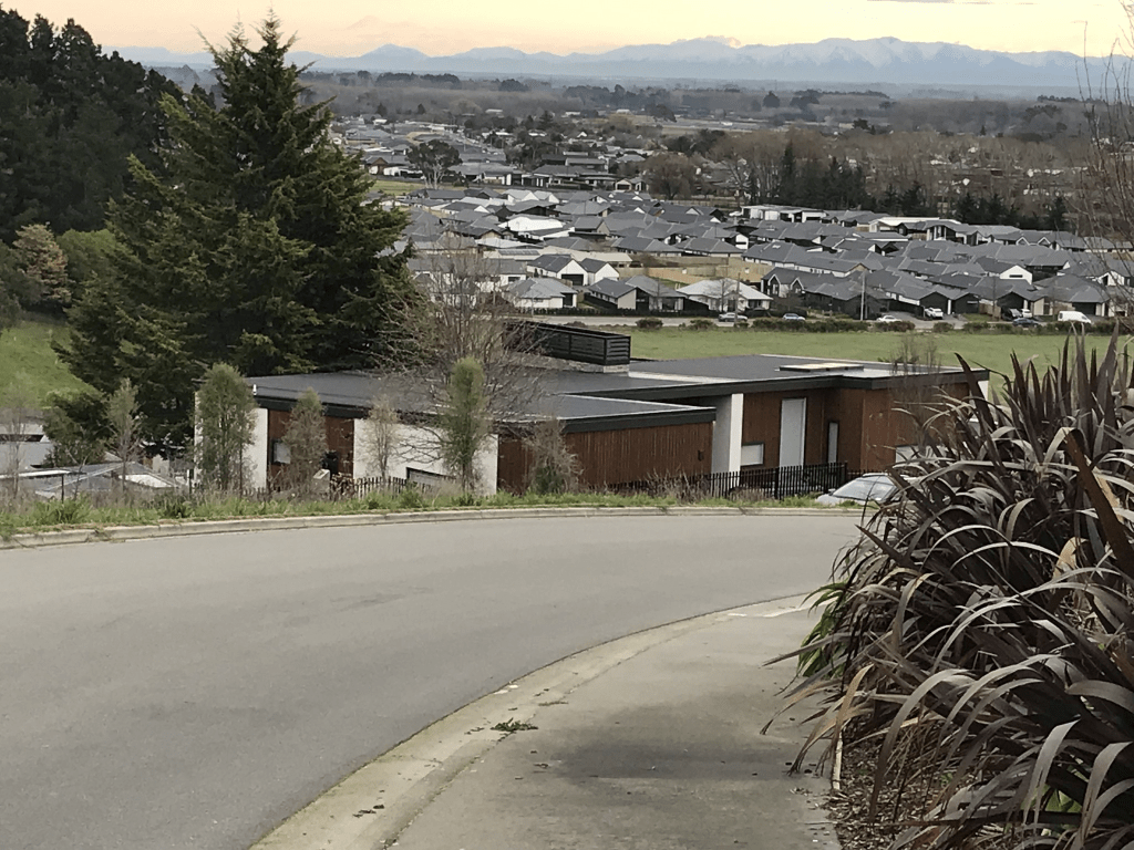
The houses here date from between 2018 to 2024. Houses are still being built here and they are ugly flat roofed modern houses. Footpath on only one side of the street and cars were parked on the footpath. I dislike cars blocking footpaths.

I don’t know why all the streets in this subdivision are in the suburb Kennedys Bush as all the surrounding streets are in Halswell. Kennedys Bush is the next valley over from this valley.

Kitchener Knoll Road in the suburb of Kennedys Bush, Christchurch

Kitchener Knoll Road in Kennedys Bush – Named after Horatio Herbert Kitchener, the Earl of Khartoum, usually known as Lord Kitchener (1850‐1916).Named in 2016. Redmond Hill subdivision for Rock Hill Ltd. Kitcheners Knoll is presumed to be the highest hill landform above Quarry Hill. It is where Lord Kitchener is said to have reviewed the Canterbury Volunteers as part of his inspection of the Lyttelton Harbour defences in February 1910.

A reasonable amount from the library’s new streets of Christchurch page. Nothing on the old website. The best information on Papers Past was from an article in the 1970s. It was almost the exactly the same information as in Gordon Ogilvie’s book Place Names of Banks Peninsula and the Port Hills.

The volunteers did a mock battle called the Battle of Halswell but the guest of honour didn’t even bother watching them. He was on a horse and couldn’t wait to get back to his waiting car. He didn’t even say anything about the mock battle and apparently had a low opinion of volunteers. Going by the various articles about his tour of Australia and New Zealand he wasn’t really interested in meeting the locals.

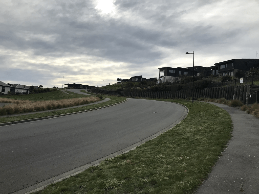
I was geocaching in the area and the street was longer than I expected. Apple maps had a very short street but google maps had it much longer. The street is even longer now than what it was on google maps. It is still being developed and the top of the street is blocked off. There is a footpath on both sides of the street and there are great views. Houses are still being built here and many sections are still available to buy. The houses are ugly modern houses and most have flat roofs. I wouldn’t trust them to continue being weatherproof after a few years. There was one house that I almost liked and it is for sale but I suspect it would be beyond my budget. If you have to contact the real estate for the price I always assume that it is expensive. There was a little playground near the Cashmere Road end and I always find it weird when a footpath suddenly peters out.

I don’t know why all the streets in this subdivision are in the suburb Kennedys Bush as all the surrounding streets are in Halswell. Kennedys Bush is the next valley over from this valley.

Hewers Lane in the suburb of Kennedys Bush, Christchurch

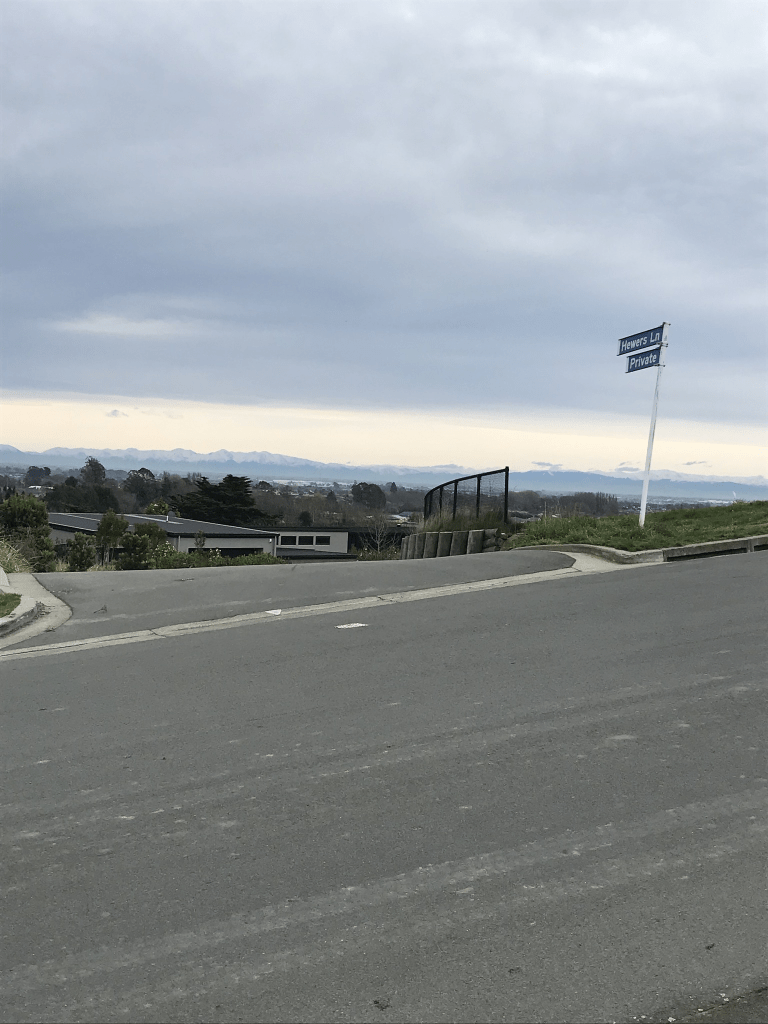
Hewers Lane in Kennedys Bush – Named in recognition of the quarry workers known as the “hewers” New subdivision at 685 Cashmere Road (Halswell end). Named in 2016.

A small amount of information from the new streets of Christchurch library website. It isn’t on the old website. I was surprised that it was on the new website as streets in a nearby subdivision aren’t on the website. I was expecting this street to have been named after a person so I was pleasantly surprised by the reason for the name.

The lane was longer than expected and I didn’t walk the full length as there wasn’t a footpath. It also felt like you are walking too close to the houses. The houses here were built between 2018 and 2023 and there seemed to be some sections still available. The houses were ugly modern houses.

I don’t know why all the streets in this subdivision are in the suburb Kennedys Bush as all the surrounding streets are in Halswell. Kennedys Bush is the next valley over from this valley.

Harrow Street in the suburb of Phillipstown, Christchurch

Harrow Street in Phillipstown – formerly William Street. Named after Harrow, a town in the London Borough of Harrow, North West London. William Street first appears in street directories in 1896.Re-named Harrow Street on 7 March 1904. Among a number of streets re-named in 1904 and given the names of place-names in the United Kingdom. Further information The Press, 2 September 1930, p 12 [This article lists Harrow Street as named by Redpath. This is incorrect as Harrow Street was named much earlier and is not mentioned in the 1909 article]

A small amount of information from the library website. On Papers Past as William Street there was just a few ads plus some death notices. The article in 1904 about the name change from William Street to Harrow Street stated that it was because of duplication of street names because of Sydenham, St Albans and Linwood amalgamating. Still lots of death notices as Harrow Street. The Aldwin family were mentioned a few times from 1920s through to 1940s.

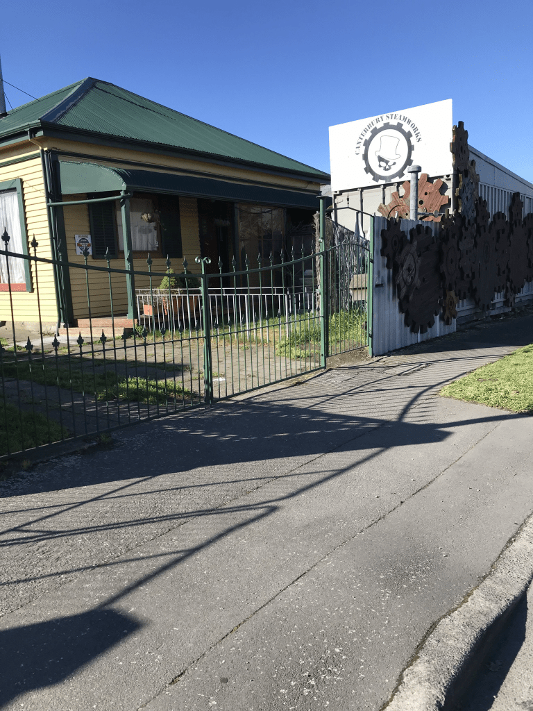
There are still a few older houses on this street dating between 1905 to 1920. There is at least one house from every decade and several built in 1990s and 2000s. The older houses have been getting demolished and replaced by ugly modern houses. I got sidetracked on this street by a steampunk house and I especially loved the skeleton in the garden.

Glasgow Street in the suburb of Phillipstown, Christchurch

Glasgow Street in Phillipstown – Named after Glasgow, a city in Scotland. Named by John Alexander Redpath (1846?-1942) in 1909 when he subdivided his land there and laid out the new streets. He founded the firm of J A Redpath & Sons Ltd., coal merchants. Redpath’s wife was born Rose Ann Glasgow (1843?- 1921) and the street could also have been named in her honour. First appears in street directories in 1913

A small amount of information from the library website. As both John Alexander Redpath and his wife Rose Ann Glasgow were born in Ireland I personally think that the street was named after John’s wife. I found the same article from 1909 that mentioned the new streets Glasgow St and Newcastle St. There were the usual death notices for the street. Lots of birth notices as there was a Nurse Adam’s at 9 Glasgow St. There were new sewers for the street in 1927. John Alexander Redpath had a son also called John Alexander Redpath. I got a bit confused for a moment about the wives of the men but I think that John Alexander Redpath Junior remarried after his first wife died. John Alexander Redpath Junior possibly also had a son with the same name. Looked at Ancestry website but that got too confusing.

Only 28 houses here and 13 of them were built between 1910 and 1920 plus there was one built in 1905. Most are in good condition but suspect that they will gradually disappear and be replaced with multi modern ugly units as this is already happening here. I liked this street with the lovely older houses.

Gatherer Street in the suburb of Phillipstown, Christchurch

Gatherer Street in Phillipstown – Formerly Victoria Street. Named after HM Queen Victoria (1819- 1901). Re-named Gatherer Street. Named after James Gatherer (1830-1877) and his wife, Margaret Gatherer (1837?- 1900). Victoria Street first appears in street directories in 1892, running off Tuam Street. It ran parallel with Albert Street, later Saxon Street and was an unformed street. James Gatherer, a horse dealer, is mentioned in the Star in a report of a meeting of the Heathcote Road Board in 1877. Sections in Gatherer’s Paddock, Cashel Street East, are advertised in the Star for sale in 1879. Tenders were called for the formation of Gatherer Street in 1880. In 1884 Mrs Gatherer is listed living at Strickland

House in Strickland Street. First appears in street directories in 1906.

A reasonable amount of information from the library website but I don’t believe that this street was ever called Victoria Street. On Papers Past I found a council report from 1904 where it stated that Victoria Street, Linwood to be renamed Osborne Street.

I eventually found the 1880 ad for tenders for forming the street and it would have helped if the library website had the street name correct. In the 1880s the street was called Gatherer’s Street. Note if the street was called Gatherer’s Street in the 1880s it was hardly likely to be called Victoria Street.

There was the usual death notices. In 1907 there were several sections for sale from a deceased estate. A stable was destroyed by fire in 1908. There was an article in 1970 about a house being demolished and the interior walls were lined with newspapers from 1863. From the 1960s the street seems to have been zoned industrial and Papers Past only had ads for businesses. James Gatherer was often in the court news usually for wandering horses but he also was possibly an angry drunk. He was a horse dealer.

There are only businesses on this street and even though I walked this street on a Saturday afternoon it was impossible to walk on the footpaths as the businesses had cars parked on the footpaths.
Fred Allen Lane in the suburb of Phillipstown, Christchurch

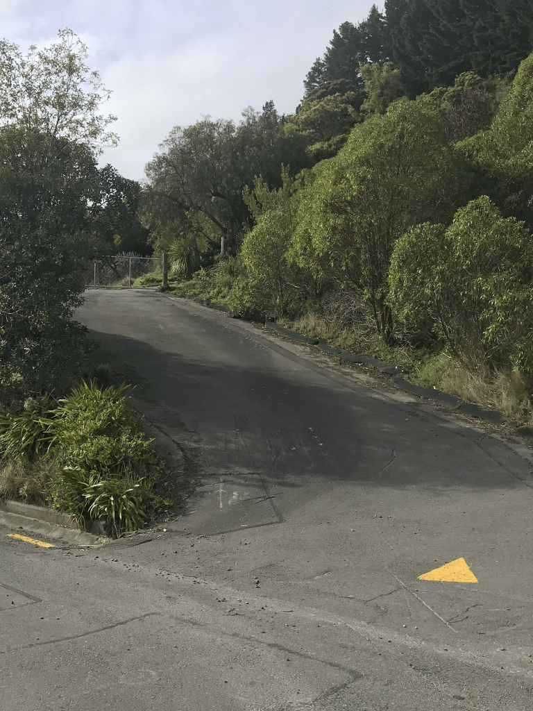
Fred Allen Lane in Phillipstown and nothing on the library website.

This street runs off Olliviers Road and is probably named after Fred Allen who was a coach of the All Blacks. Fred was born in Oamaru but he moved to Christchurch as a child with his mother. He went to Phillipstown school and they lived on Olliviers Road. There is a Wikipedia for Fred Allen.

There are 8 houses here all built in 2019 and they all look exactly the same.

Raglan Street in the suburb of Phillipstown, Christchurch

Raglan Street in Phillipstown – Named in 1910

A tiny amount of information on the library website. There wasn’t much information on Papers Past for this street. There was a report from the Council recommending that the short street that ran between Cashel Street and Essex Street be named Raglan Street. There was another report with almost exactly the same wording dated 1924. There were a few death notices and a few personal ads. In 1926 the residents in Cashel Street requested a tram stop to be installed on Raglan Street. The street was flooded in 1987 when there was a ruptured water main on Cashel Street. The street is shown on the old map from 1912.

There are houses here but they aren’t on the valuation website so I suspect that they are social housing. The houses are only on the one side of the street. The other side of the street had a big section that seemed to belong to a building that was on Essex Street. There was a sign on a fence on Cashel Street that said Raglan Reserve. The council website said that it is a public park but it looked like a private property and there didn’t seem to be an entrance to this reserve.