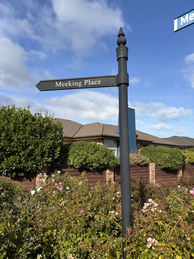
Meeking Place in Halswell – Named after Bishop Emeritus Basil Meeking (1929-). Formed on land subdivided by the Roman Catholic Bishop. Named in 2003.
A small amount of information from the library website. Meeking was Bishop from 1982 to 1995 and he died in 2020 aged 90.
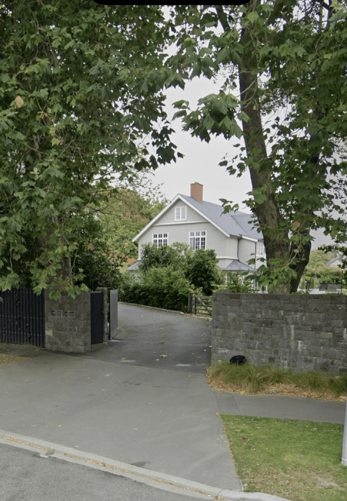
I was geocaching in the area and walked to this street from Dunbars Rd on a small walkway. The houses here were built in 2000 and most just had lawns and scrubs. One did have an interesting garden but I didn’t manage a photo. Footpath on only one side of the street and there is a walkway that takes you to Cunneen Place. I did like the decorative street sign. There is an entrance to a religious place called Living Waters Christian Centre.
Harakeke St in Riccarton – Harakeke means: flax. Named to commemorate the Deans families’ efforts to conserve the native forest trees in Riccarton. The naming was also designed to showcase the Maori names of plants. Named in 1892 when John Deans split up 150 acres of the Deans Estate into 105 lots which were then auctioned. Referred to as “formed and opened up” in The Press in 1898.
A small amount of information from the library website and nothing that I can add about the name of the street.
A reasonable amount of information from Papers Past. Between 1901 and 1915 there were mostly ads for sections plus a few ads for servants. In 1917 there was a new boarding house for Christchurch Boys High and this boarding house get mentioned frequently between 1917 and 1989. In 1925 the boarding house is given the name of Adams House.
Many death notices over the years plus a few birth notices. Drainage and flooding issues are frequently mentioned and in 1959 the stormwater drains were improved to fix the flooding problems. I don’t know if this helped as flooding is mentioned again in 1986. In 1929 there was a big fire in a pine plantation that was on this street. There was a kindergarten built in 1957/ 1958 and it is still here. The street was extended in 1954 and sections were available in 1957. I checked old maps and the extension to the street was at the Fendalton Rd end of the street. It would have been formed on Daresbury property and there is a street called Daresbury Lane nearby. In the 1960s there were several applications for establishing a garage and service station on the corner of Harakeke St and Riccarton Rd but they kept getting declined. There was an engagement notice that stood out for me in 1967 and it was for a Susanne Jones. Susanne used to babysit my younger brother and me when we were young. In 1971 there were three sections available at 75 Harakeke St. The house belonged to Sir Joseph Ward and he died in 1970. His grandfather was a New Zealand Prime Minister and he was also Sir Joseph Ward. The house is still there and it was built in 1905.
In 1984 and 1985 a property at 7 Harakeke Street is mentioned as being a special care unit for the elderly with mild confusion. It was also described as an experimental home for Alzheimer victims. It is now called Enliven Positive Aging Services and includes the Totara Club and Harakeke Club.
I walked this street on Saturday after visiting the Buddhist Temple as part of Open Christchurch. The Buddhist Temple entrance is on Riccarton Rd but their address is Harakeke St. The Enliven Positive Aging Services is almost opposite the Buddhist Temple’s car park. The kindergarten is also near the Riccarton Rd end of the street. There is a mixture of house styles and houses date from 1905 to 2020 on this street. There are two streams here Ilam stream and Wairmairi Stream so no wonder there have been flooding issues on this street. At the end of the street there is Daresbury Park plus a walkway that takes you through to Fendalton Rd. There are some lovely houses on this street but they are well beyond my budget.
Jane Deans Close in Riccarton – Named after Jane Deans (1823- 1911). Jane Deans was an early Riccarton settler and community leader. Formed post-1997.
A small amount of information from the library website and nothing that I can add about the name of the street. There is a Wikipedia page about Jane Deans and it incorrectly states that she is a New Zealand author.
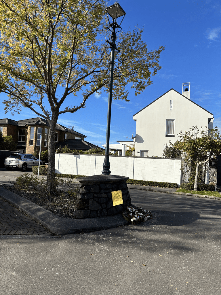
The houses here were built in 1990 and 2000 and it is a lovely street. A couple of the houses were ugly but I liked most of them. The entrance to the street had a leafy arbour. At the end of the street there is a cairn with a war memorial on it. Pity that this street is well beyond my budget. I had been visiting the Buddhist Temple that is nearby on Riccarton Rd as part of Open Christchurch.
Parkhouse Road in Wigram – formerly Part of Curletts Road. Named after Jaynie Margaret Hudgell, née Parkhouse, (1956-).Jaynie Hudgell is a swimmer who won a gold medal in the 800m freestyle event at the 1974 Commonwealth Games in Christchurch. The section of Curletts Road from the expressway to Treffers Road was re-named Parkhouse Road on 4 June 1974.
A small amount of information from the library website and nothing that I can add about the name of the street. I remember when Jaynie Parkhouse won her gold medal because she was only 17 years old and still at school.
Not much information on Papers Past. In 1974 the street name was changed from Curletts Rd to Parkhouse Rd. In 1979 the construction of the refuse station had several mentions. In the same year there were plans to extend Parkhouse Rd to Hayton Rd.
I was a bit confused about the name change to Parkhouse Rd until I looked at old maps. Treffers Rd used to be Curletts Rd and there was a very sharp turn onto where Parkhouse Rd now is and then another very sharp turn onto the current Curletts Rd.
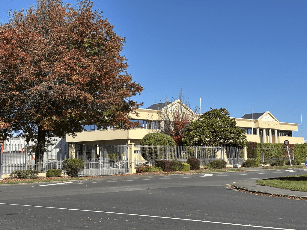
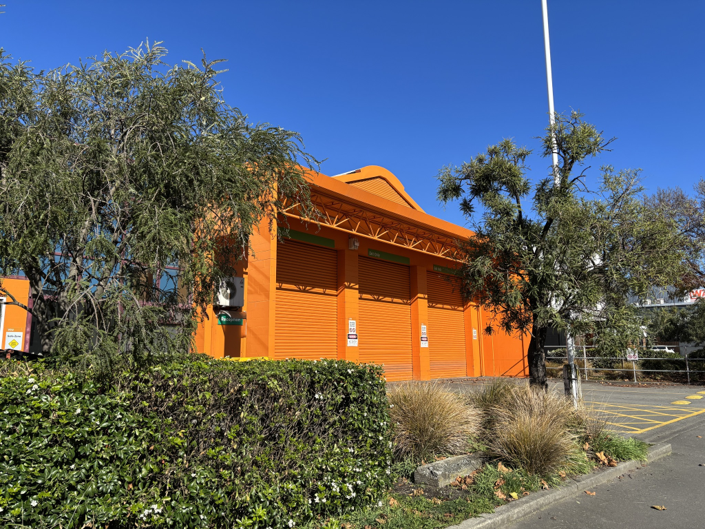
This road mostly has businesses related to the motor vehicle industry. There is still a refuse station here but it is now called EcoDrop. The most interesting looking building is the one for United Fisheries. I walked this street on ANZAC Day and I find that such streets are best walked when businesses are closed. I remember using the panel beaters on this street several decades ago.
Hillary Crescent in Upper Riccarton – Named after Sir Edmund Percival Hillary (1919- 2008). In a block of 28 acres bought by the government for state housing in 1953. The land was formerly owned by Pyne, Gould Guinness Ltd and was in Curletts Road between Blenheim Road and the Main South Road. Named on 10 August 1953. Hillary climbed Mount Everest in 1953. Minutes and report of meeting of Housing Committee of the Paparua County Council held on 10 August 1953.
A small amount of information from the library website and nothing that I can add about the name.
Papers Past had lots of death notices and residents on this street seemed to be an accident prone lot. There was an article in 1953 about the three streets in the new housing block to be named Hillary Crescent, Tensing Street and Everest Ave. I have already walked Tensing Place and I couldn’t find Everest Ave. In 1957 residents petitioned for a bus service. There were houses for sale in the 1960s.
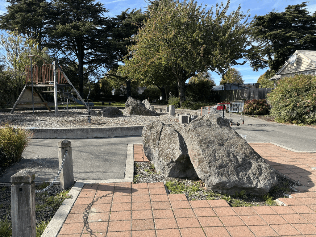
When I walked this street on Sunday it is obvious that there are still Housing Corp / Kainga Ora houses on this street. There are a few Kainga Ora houses that have been demolished and replaced with multi dwellings. I had trouble getting into the valuation website that I use for this street but most houses would have been built in the 1950s and then the new ones built in 2024. Some of the houses are privately owned. There is a playground called Hillary Reserve on this street and there were at least three or four shopping trolleys in the reserve.
Mcalpine Street in Wigram and nothing on the library website. I couldn’t find any mention on council website either.
On Papers Past the earliest entry was in 1963 where it is mentioned as a new street in the Railways Dept Industrial subdivision. It was named after John Mcalpine who was the Minister of Railways. Various ads have it in the suburbs of Souckburn and Upper Riccarton but it has settled itself in the suburb of Wigram. Most ads were for businesses related to transport.
John Kenneth Mcapline died in 1984 and as well as being Minister of Transport he had a connection to the Lyttelton Harbour Board. His obituary said that his efforts helped to build the Christchurch International Airport. A special note to all my Lyttelton friends is that this man worked on the Lyttelton waterfront in 1951 and he was proud of this. Yes he was a scab.
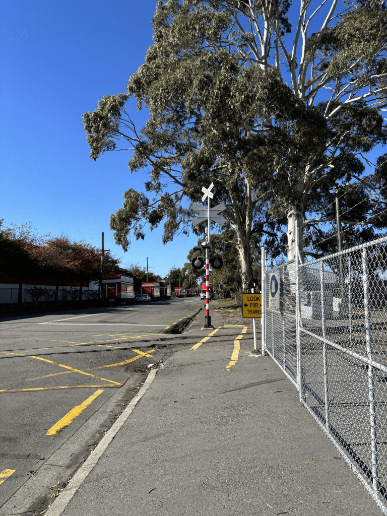
I walked this street yesterday and it would be too busy to walk on a normal working day. It is still full of businesses related to the transport industry and the two biggest ones are Mainfreight and Daily Freight. At the Curletts Rd end there is a footpath that takes you up to Curletts Rd overbridge. I suspect that this street used to go across Curletts Rd but couldn’t find any maps to show this.
Jipcho Road in Wigram and nothing on library website or council website. I managed to find out how the street got name Jipcho from a media article in an African newspaper. Ben Jepicho was a Kenyan athlete who won two gold medals at the 1974 Commonwealth Games here in Christchurch. He was born in 1943 and died in 2020.
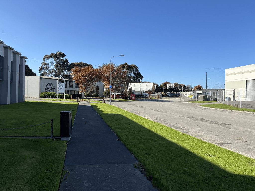
Another street with businesses and the main entrance to VTNZ is on this street. I did like the sign on the truck and trailer business. Note I couldn’t find the geocache that is supposed to be hidden on this street which was really annoying.
Edited as I obviously forgot to look at Papers Past for this street. The street was built on railway land in the 1980s and in 1989 they used a helicopter to dry the asphalt on a building site in the street. There was also a horse called Jipcho so the street was possibly named after the horse but then the horse was possibly named after the runner.
Edited yet again and this street is highly likely to have been named after Ben Jipcho as surrounding streets were named after competitors at the 1974 Commonwealth Games
Kilronan Place in Wigram and nothing on the library website. Couldn’t find anything on the council website about the street name. The street was probably developed between 2003 and 2005. Possibly named after Kilronan in Ireland which is a village on one of the Aran Islands.
It is another street with businesses and I find that it is best to walk these streets which the businesses are closed. The VTNZ building is rather brightly coloured.
Tenahaun Place in Wigram and nothing on the library website. I couldn’t find out the meaning of the name but there was a property with that name in the Mayfield and Mt Somers area. There is also a track and conservation area with that name. I also found a racehorse with that name. I couldn’t find any on the council website about the name. The street would have been developed between 2003 and 2007.
The biggest business in the street is Pavillion Foods which seems to produce and sell gluten free food. Not a lot that I can say about the street.
Pilkington Way in Wigram – Named after the Pilkington family. The source says the family has had “a long association with Canterbury”. Developed by Laing Contractors/Calcon Asphalt Ltd. Named in 2003
A small amount of information from the library website. I checked Ancestry website and the surname was more common than I was expecting. I didn’t find anyone with that name who lived or farmed in the area. I found council minutes from 2003 which just said that the name had been approved and that three pages of information about the family had been given to Board members. The new library website added this information which wasn’t on the old website. Further information Possibly this Pilkington family;
G R Macdonald dictionary of Canterbury biographies: P403a. Note the links on the new website don’t work but I managed to find out that G R Macdonald dictionary was referring to a Benjamin Pilkington. I didn’t bother researching any further.
This street was developed in a new business subdivision and it obviously has businesses here. One business which takes up a huge section is Viridian Glass and there is a Tesla Service Centre on the street as well. I was going to walk this street a few years ago as Hancocks Wine and Spirit Merchants are on this street. My son worked for Hancocks and I was going to have a bit of fun and stir him by joking that I was stalking him. My son was made redundant after lockdown so that took all the fun out of that. The up side was that he got a much better job.