Braemar Place in the suburb of Avonside, Christchurch

Braemar Place in Avonside and there wasn’t any information on the library website. I will assume that it is named after Braemar in Scotland. I love Braemar in Scotland and I have stayed there.

The houses on this street all date from 1940 so it is surprising that there is nothing on the library website.

Very few entries on Papers Past and I was expecting at least one entry to say that it was part of a State Housing estate but nothing. There also weren’t any ads for the sale of sections. The earliest entry is from 1950 and it was in the court news. A few death notices and engagement notices. There was a mortgagee sale in 1977 and a house for sale in 1988.

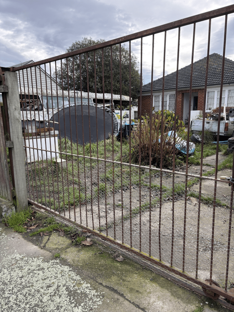
There is a footpath on both sides of the street and some of the houses look like they are still State Houses. I didn’t particularly like the street but this was probably because I didn’t feel comfortable walking here. No photos but the houses are typical looking for 1940s State Houses.

Locksley Avenue in Burwood and Dallington Red Zone, Christchurch

Locksley Ave in Burwood and Dallington Red Zone – Named after Locksleys, the home there of Joseph Palmer (1826-1910). In December 1918, the Burwood Burgesses’ Association decided to ask the Waimairi County Council to rename River Road, Locksley Avenue “as there are several River roads round Christchurch” Locksley Avenue first appears in street directories in 1921. Until about 1950 it was a narrow shingle road with willows growing into the river on both sides.

A small amount of information from the library website and it was actually Lockleys and not Locksley. It was also possibly the name of the area rather than a house as in Papers Past Lockleys was described as a township.

As River Road it was mostly ads and in 1911 a large property was sold and described as being suitable for subdividing.

Found the article about the renaming. In the 1920s the need for flood gates was frequently mentioned. In 1924 the land owners agreed to sell sufficient land for widening the street. They were still talking about widening the street in 1950. From 1920s through to 1950 there was a poultry farm. The property was for sale in 1950. In 1955 there was a state housing programme bordered by McBratneys Road, Queensbury Street (Fleete Street) and Locksley Avenue. This block of land was called Merrys Block Government Housing. The year of 1958 was a busy year as there were sewage works plus Kerrs Reach was developed. In 1960 the riverbank was damaged by a Drainage Board contactor.

In 1967 a footbridge was built to connect Locksley Ave to Avonside Drive opposite Snell Place. This bridge was demolished after the earthquakes and a new one has been built to replace it. I didn’t take a photo of this bridge today but I did take a photo of it a couple of years ago. In 1984 there was a pumping station built by Walls Drain. In 1987 a stillborn baby’s body was found beside the river.

Lots of death notices over the years plus a few drownings in the river. Quite a few accidents on this street especially by New Brighton Road. There is an information board on this street about a property called Groveley but this property was actually on the nearby street of Glenarm Tce.

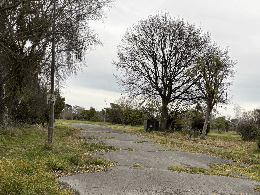
All the houses have been demolished here and street view on Google maps no longer show the images from before the earthquakes. The houses were on one side of the street and the river was on the other side of the street. About half way along the street there is a path that leads to a playground. I did find a geocache on this street which means I got the virtual souvenir for this weekend.

Stiles Place in Burwood Red Zone, Christchurch

Stiles Place in Burwood Red Zone – Named after Cyril Alec (Bob) Stiles (1904-1985). Stiles was one of New Zealand’s first Olympic rowing medallists. Named in 1966. First appears in street directories in 1970. Information on date of naming in a letter sent to the City Librarian from the Town Clerk dated 13 December 1966.

A small amount of information from the library website. The Wikipedia page for Cyril Alec Stiles is very brief with very little information. His obituary said that he was a boat builder and instrumental in the forming of Kerrs Reach.

In Papers Past it was mostly ads and a few death notices. There were 16 sections for sale between 1968 and 1970.

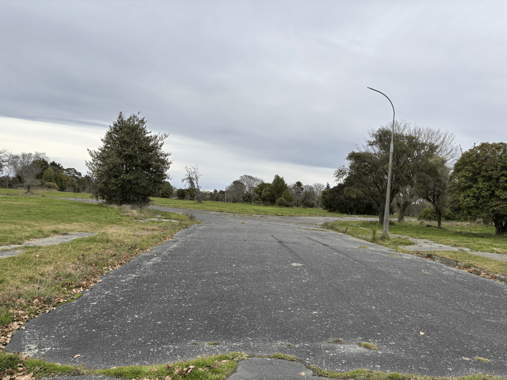
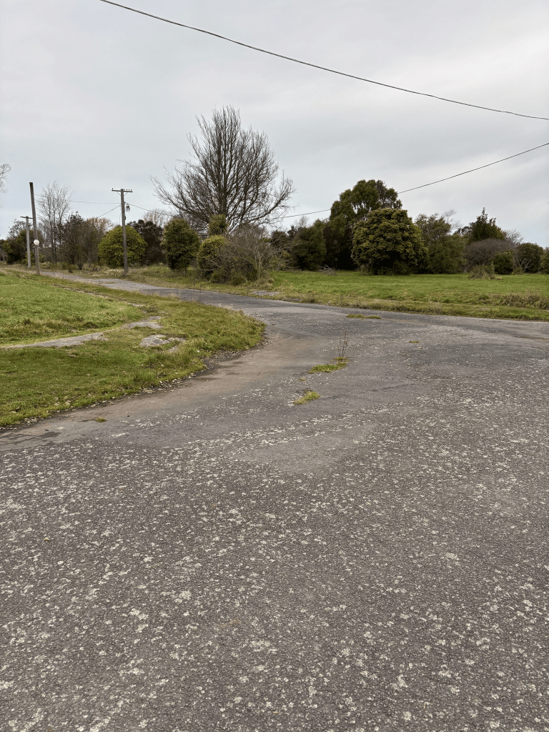
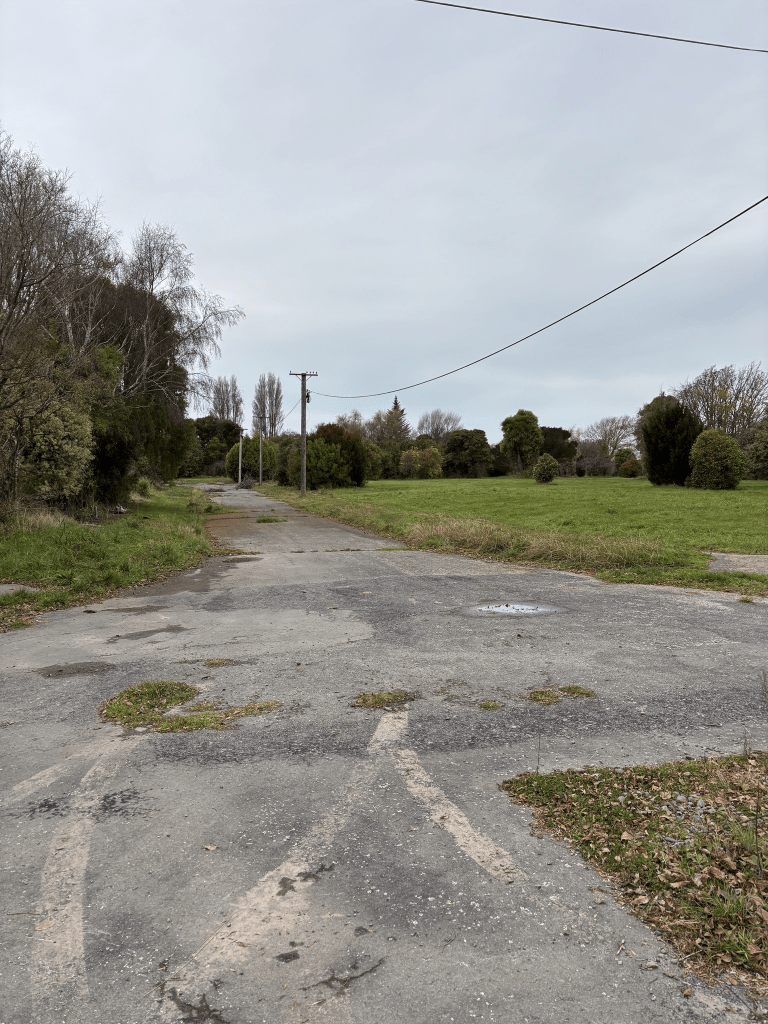
When I walked this street today I hadn’t realised that it was a separate street to Arnst Place and only realised when I looked at the map. There is no longer street view on google maps for what red zoned streets looked like before the earthquakes.

My photo was taken from Arnst Place and Stiles Place is off to the right of the photo.

Arnst Place in Burwood Red Zone, Christchurch

Arnst Place in Burwood Red Zone – Named after Richard Arnst (1883-1953). Arnst was the world sculling champion in 1910. Named in 1955.

A small amount of information from the library website and I was surprised that I couldn’t find an obituary for Richard Arnst. There were over 1500 entries for him on Papers Past so I narrowed my search to 1953 and 1954 and there was only a very brief death notice. The Wikipedia page doesn’t mention his marriage or son.

There were sections for sale in 1959 and 1964 and the selling point was that sewage was installed. It was also an ad where a builder wanted the loamy sand to be removed. In 1989 the street was closed for one day so that a documentary could be filmed.

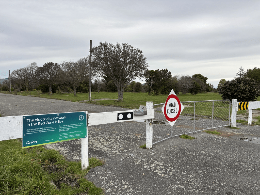
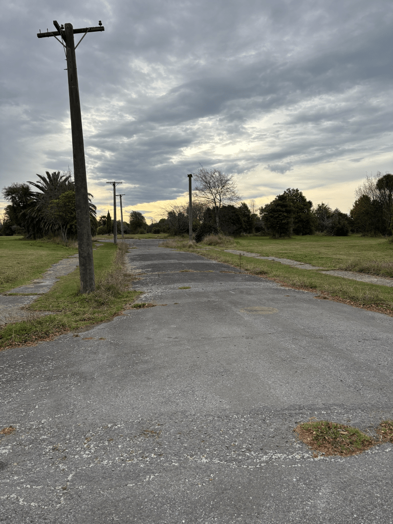
There are obviously no houses here any longer and google maps no longer show street view from before the earthquakes which is really annoying.

Fleete Street in the red zone of Burwood and Dallington, Christchurch

Fleete Street in red zone of Burwod and Dallington – formerly Queensbury Street. The section south of New Brighton Road was formerly Queen Street and was incorporated into Fleete Street. Named after Percy Lonsdale Fleete (1884-1968). Queensberry Street first appears in street directories in 1913. Re-named Queensbury Street in 1934. The section south of New Brighton Road was re-named Queen Street by 1930 and later, in 1955, Fleete Street. Fleete, a market gardener, is listed as a resident of the street in 1954, living at 69 Queensbury Street.

A reasonable amount of information from the library website and the only mention of Percy Lonsdale Fleete on Papers Past is in a death notice for his wife in 1964.

I only looked at Fleete Street as I covered Queensbury Street fairly fully when I walked that street. The council notice said that Queensbury Street South from New Brighton Rd to McBratneys Road to be called Fleete Street. The same notice said that Queensbury Street South from Birchfield Ave to McBratneys Road to be called Madge Street. In 1955 the council notice said that Madge Street would be called Fleete Street. Confused as yes I was. I checked old maps and Queensbury Street which became Fleete Street all ended at Birchfield Ave. It was only after 1954 that the street is shown as going all the way to McBratneys Road.

It was mostly death notices on Papers Past and a few engagement notices including one for a relative of the ex-husband. Sewage wasn’t installed on this street until 1961 and there were drainage pipes being laid in 1982.

Another street where I couldn’t find images from google maps for the street from before the earthquakes. I was able to look at these images in 2023. This area is very popular with dog walkers.

Kim Place in the Dallington Red Zone, Christchurch

Kim Place in Dallington Red Zone – Named after Kim Novak (1933-).Kim Novak was one of America’s most popular movie stars in the late 1950s. One of two streets named by Harry Morgan, a draughtsman with the Ministry of Works. First appears in street directories in 1957. Information supplied in 2005 by Bob Pritchard, subdivisions officer, Christchurch City Council.

A small amount of information from the library website and nothing that I can add about the name of the street.

Not much information on Papers Past as it was just a few ads and a few death Notices.

I couldn’t find out what the street looked like before the earthquakes as google maps no longer show these images. This must be a fairly recent change as I was able to do this in 2023.

Ava Place in Dallington Red Zone, Christchurch

Ava Place in Dallington Red Zone – Named after Ava Lavinia Gardner (1922-2001). Ava Gardner was an Academy Award nominated American screen actress. One of two streets named by Harry Morgan, a draughtsman with the Ministry of Works. First appears in street directories in 1957. Information supplied in 2006 by Bob Pritchard, subdivisions officer, Christchurch City Council.

A small amount of information from the library website and nothing that I can add about the name of the street.

Not much information on Papers Past with just a few death notices and a couple of engagement notices. There were sections for sale in 1956.

Another street where google maps no longer show what the street looked like before the earthquakes

Tilbury Place in Dallington Red Zone, Christchurch

Tilbury Place in Dallington Red Zone – First appears in street directories 1960.

Not much information on the library website and it was probably named after Tilbury in the UK.

Not much information on Papers Past. There were sections for sale in 1957. There were a few death notices and a few ads plus in 1967 a car plunged into the river near here. I can’t tell you what the street looked like from before the earthquakes as google maps no longer offer this function.

Westminster Street in the suburbs of St Albans and Mairehau, Christchurch

Westminster Street in St Albans and Mairehau – Formerly Green’s Lane and Green’s Road. Named after Green, a local milkman. James Green, of Papanui, is listed in street directories in 1890. Greens Road and part of Shirley Road were amalgamated and re-named Westminster Street. Named after the City of Westminster, a metropolitan borough of London. Green’s thatched-roof, sod house was on the corner of Hills Road and Greens Road. Green’s Lane first appears in street directories in 1892. Shirley Road from Rutland Street up to, and including Green’s Road, was re-named Westminster Street in 1909.

A reasonable amount of information from the library website and nothing that I can add about the name Westminster. This street has been one of the most confusing streets that I have researched. I couldn’t find a James Green who was a milkman and there was a James Green who lived on Springfield Rd but he was a bootmaker. There was a George Green who lived in the area who was a milkman. George Green kept getting fined for short changing customers.

I looked at the Ancestry website, Papers Past and old maps of Christchurch. I thought that the maps would help but it made things even more confusing. I couldn’t find Green’s Lane on any maps but Papers Past had two entries in 1879 with a request for the road to be shingled.

Greens Road is just as confusing as there were two Green Roads within a short distance of each other. There was the Greens Road that ran off the Main North Road and this one became Grasmere Street. There were lots of entries for this Greens Road. Just to further confuse things there was possibly a Greens Road in Addington.

In the 1880s and 1890s there was discussion about who should be responsible for the repairs to the Greens Road bridge and J Mahar was mentioned in connection with the bridge so it will be the Greens Road that became Westminster Street.

In 1909 Shirley Road from Rutland Street to Greens Road to be renamed Westminster Street. I did find a map dated 1903 that shows Shirley Road running between Cranford Street and Toons Road. Toons Road is now Thames Street. This was on a plan for a subdivision in the area.

In 1914 an elderly man dropped dead in the Baptist Church while singing a hymn. The saddest death would have been the young woman who died after a short and painful illness. The inquest said that she died after an illegal miscarriage that was caused by an instrument. The court praised the fact that she hadn’t named the man responsible for her condition and therefore blackening his good name.

In 1927 there was a large block of land to be subdivided and it was known as Rhodes Block and Mairehau Estate. In 1930 St Albans school were raising money to improve the entrance to the school as it was only a narrow footbridge over the St Albans stream. Two issues mentioned in the 1930s were flooding and wandering cows. There was an article in 1933 where a Mr T Allen was interviewed on his 84th birthday and he used to be a market gardener on Westminster Street but he said that it was called Shirley Road those days.

An article in 1932 said that Greens Road to retain its name but Greens Lane in Riccarton to have a name change. Greens Way in the city also to have a name change. Also Greens Road to be changed to Grassmere Street. This was when I looked at maps but this left me even more confused. The map for 1912 showed Westminster Street going from Rutland Street to Hills Road. A map for 1930 also showed Westminster going from Rutland Street to Hills Road. I then found maps for 1922, 1929 and another one for 1930 showing Westminster Street going from Rutland Street to Cranford Street and Greens Road going from Cranford Street to Hills Road. These maps also showed the other Greens Road running off the Main North Road. In 1925 the council wanted suggestions for renaming Greens Road in Papanui, Greens Road in Lower Riccarton and Greens Road in Shirley.

There was mention in 1916 about passengers on the trams were also confused about where Greens Road, Westminster Street and Shirley Road were and they frequently ended up taking the wrong tram.

Especially for a friend I would like to mention that women’s underwear was stolen from the home of Mr T Murfitt. The residents were still complaining about cows in the 1940s as they were herded on the road every Wednesday. Also in the 1940s the Westminster Street tip is mentioned as in 1949 they acquired a bulldozer.

Still complaining about cows in 1952 and the cows were kept in a paddock near the shops on the corner of Hills Road and Westminster Street.

In 1955 it was proposed that the site on the corner of Mahars Road and Westminster Street to be used for new RSA Club rooms. They were still talking about it in 1960 and in 1961 they dropped the idea. In 1958 they talked about establishing the Mairehau playing on the land adjoining the proposed RSA building. Both the RSA and the playground were to be developed on the site where the Westminster Street rubbish dump used to be. There is a playground on this site and it is called Mahars Playground but it also has a boundary on Westminster Street.

The drainage board were still talking about installing sewage in 1956. It is surprising how late some areas of Christchurch were still without sewage.

In 1961 Western Association Football Club was given permission to build club rooms. By 1967 it was called Western Soccer Club Hall. In 1989 land was purchased for a new sports complex. This land was next to the Soccer Club grounds.

In 1971 a new council yard was opened and the Samoa and Assembly of God Hall was opened on the corner of Hills Road and Westminster Street.

Over the decades there were lots of birth and death notices plus lots of accidents especially cyclists.

There was some other random information on Papers Past residents claiming it to be the worst street ever. Issues with wandering cows and horses. One year the residents complained that the road was too boggy and in the same year complained that it was too dry and wanted it watered. The bridge gets mentioned a few times but I am not sure which bridge as there were possibly two bridges on the street. Not that you can tell these days that there were bridges here but one does have a plaque.

The houses on this street cover every decade dating from 1905 up to 2024. Still a large number of older houses.

I decided to walk this street on Sunday as it had been in the news last week because of conflicting speed limit signs. The day that the article appeared in the Press was a horrible wet day which is why I waited until the weekend. By this time they had fixed the conflicting sign issue but I was able to get screenshots of them from google maps.

I started my walk at the Rutland Street end where there is a church on the corner of Rutland Street and Westminster Street. Lots of lovely older houses this end of the street and there is a stream that runs alongside the houses here until you reach St Albans School. This is near the Westminster Street and Courtenay Street corner. Westminster Street then curves around so that it is no longer following the stream. A mixture of house styles and ages on this section of the street. At Cranford Street there are shops and it looks the the dairy on the corner is now closed. Between Cranford Street and Hills Road as well as houses there are two big empty sections. One of the empty sections used to have a business called Edgeware Mowers. Next to this empty section there is a drain or stream that now goes under the road but going by the plaque dated 1931 there used to be a bridge here. There is St Albans preschool which has a very colourful fence. On the other side of the road there is Christchurch Park and Westminster Park. The playground is still there and I wonder if the parents realised that it was built on land that was originally a rubbish dump. There is a very overgrown empty section next to the playground and I did peep through the damaged fence. Going by google maps there was a fairly nice house here. It was possibly built on land that was originally the dump and where the RSA was going to be built. Then I came to the shops at the corner of Hills Road. The Samoan Church is still here and I possibly upset a young man here. There were lots of people entering the premises. A couple got out of their car and the man handed a large very heavy looking pot of food to his wife to carry. She was tiny in comparison to her husband and she was struggling to carry it. She asked if he could carry it and he refused. Yes I did tell him that he should carry it. A shocked look from him and a smile from her.

This was a long and confusing street and it took me at least three days of researching.

Gosset Street in the suburb of St Albans, Christchurch

Gosset Street in St Albans – Named after Archdeacon Charles Hilgrove Gosset (1851- 1923). Gosset was the vicar of Woolston 1891-1902, and from July 1902, vicar of St. Mary’s Anglican Church, Merivale. One of three streets named in 1923 and formed on land that had been originally owned by the Anglican diocese. Sales of land were made for “increased revenue for Diocesan purposes”. First appears in street directories in 1924.

A reasonable amount of information from the library website. I did see the name spelt Gosset and Gossett on Papers Past and on a map dated 1941. Family trees on Ancestry also had both spellings but his birth registration had Gosset.

I was looking at maps as there were a couple of entries on Papers Past said that it was in Burwood. I couldn’t find a second Gosset Street. There were several birth and death notices over the decades and in 1923 it was described as a new street. There were also ads for sections available for sale in the 1920s. In the 1930s I sidetracked a bit as there were lots of birth notices for babies born at Nurse Steven’s at 36 Gosset Street. Mary Alice Steven’s husband died in 1929 and they were living on Fendalton Road. From 1930 until her death in 1940 Mary was living at 36 Gosset Street. Births at the nursing home were between 1930 and 1938.

There was a very good article in 1947 headed The Story of 700 Acres of Church Property which included this street. In 1965 the residents petitioned to have the trees in the street removed. The council replied that the lime trees will remain. It is still a tree lined street. In 1984 there were complaints about a resident who they claimed was running a business from his house. He was into racing cars and worked on his car in his garage.

It was a pleasant street with lovely wooden villas and most houses here date from 1920s. There is one house that was built in 2023 and it just doesn’t fit in with the rest of the street.