Shamrock Place in Halswell – First appears in street directories in 1970.
A tiny amount of information from the library website and couldn’t find out the reason for the street name. I was hoping to find out that the developer / council mistakenly thought it was a symbol of Wales.
Not many entries on Papers Past and most were ads for sections in 1984. There were a couple of garage sales in 1975. Most houses here were built in the 1980s with about three of them were built in 1960s.
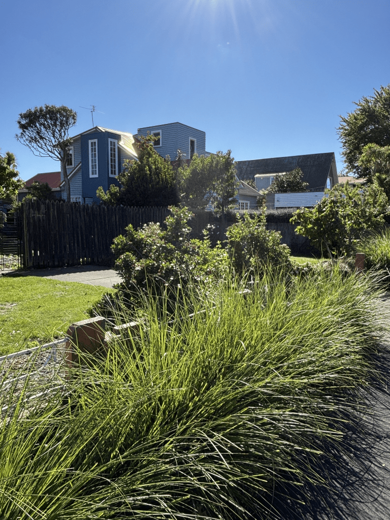
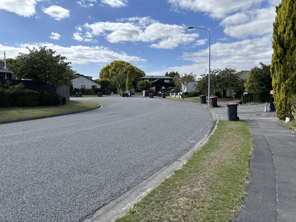
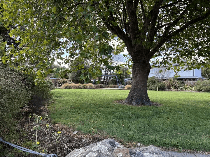
I walked this street a month ago and none of the houses stood out for me. There is a playground and reserve called Shamrock Reserve on the corner of Shamrock Place and Wales Street.
Wales Street in Halswell – Named after Wales, the country. The developer, Karl Scott (1910-1997), put several suggestions for the street name to the council, all of which were declined. In desperation he said – “England, Scotland, Ireland, Wales…Wales will do”. First appears in street directories in 1960. Information supplied in 2008 by Bede Cosgriff (d. 2011) in an interview with Margaret Harper.
A small amount of information from the library website and I would love to know what names were rejected. I have covered Karl Scott fully when writing about nearby streets.
When looking at Papers Past there were lots of entries for Wales Street in Dunedin and Rangiora. The earliest entry that I could find for the Wales Street in Halswell was in 1960 and was about the bus service. The water mains were mentioned in 1962 and the street was sealed in 1966. First entry that I found for the kindergarten was in 1978 and I tried to find when it was opened but had no luck. In the 1970s and 1980s it was mostly death notices.
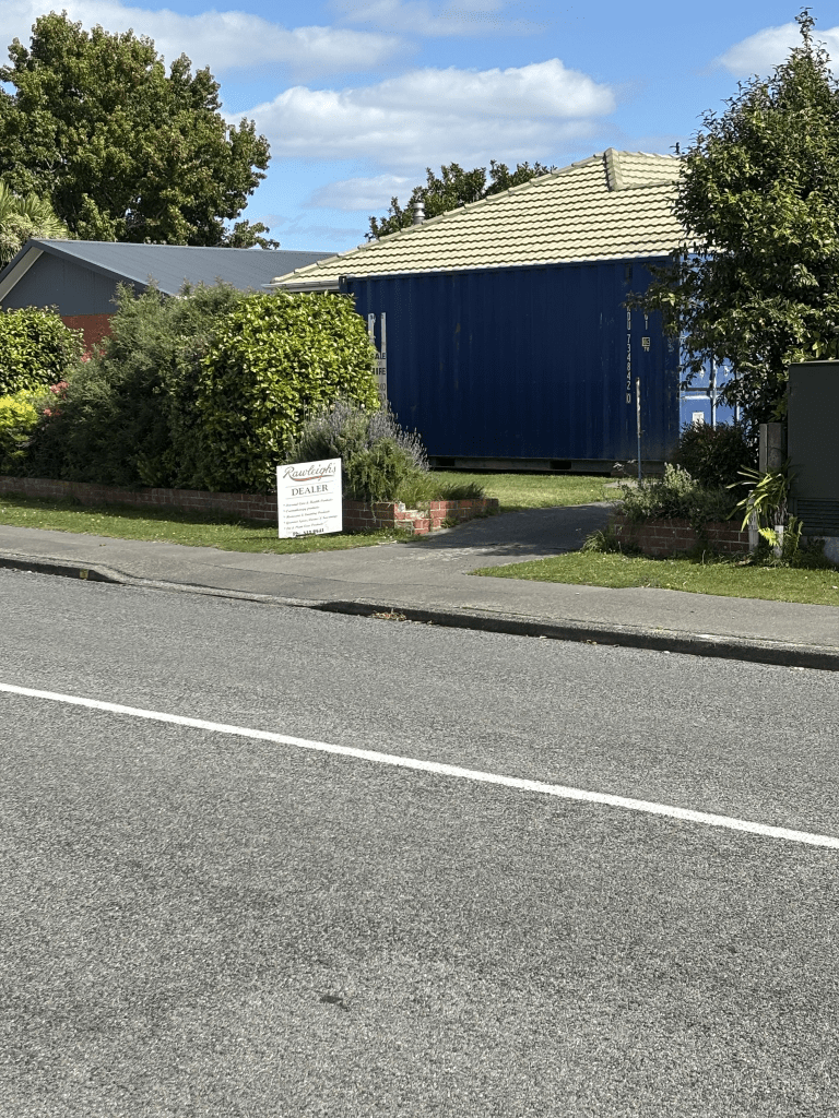
I walked this street a month ago and it runs from Lillian Street to Checketts Avenue. Ensign Street becomes Wales Street and it then becomes Lancewood Drive. Most of the houses were built in the 1950s and the 1960s and they were typical of that era. A few looked rather shabby. There was a kindergarten here and a playground called Wales Reserve. There was a walkway that takes you to Santa Rosa Avenue. One house had a Rawleigh’s sign outside it and I hadn’t realised that they were still around. I remember these products from when I was a child. The house was blocked by a container but google maps from a couple of years ago shows a nice house. I did have a nice chat with a local here and he said that it was a nice street to live on.
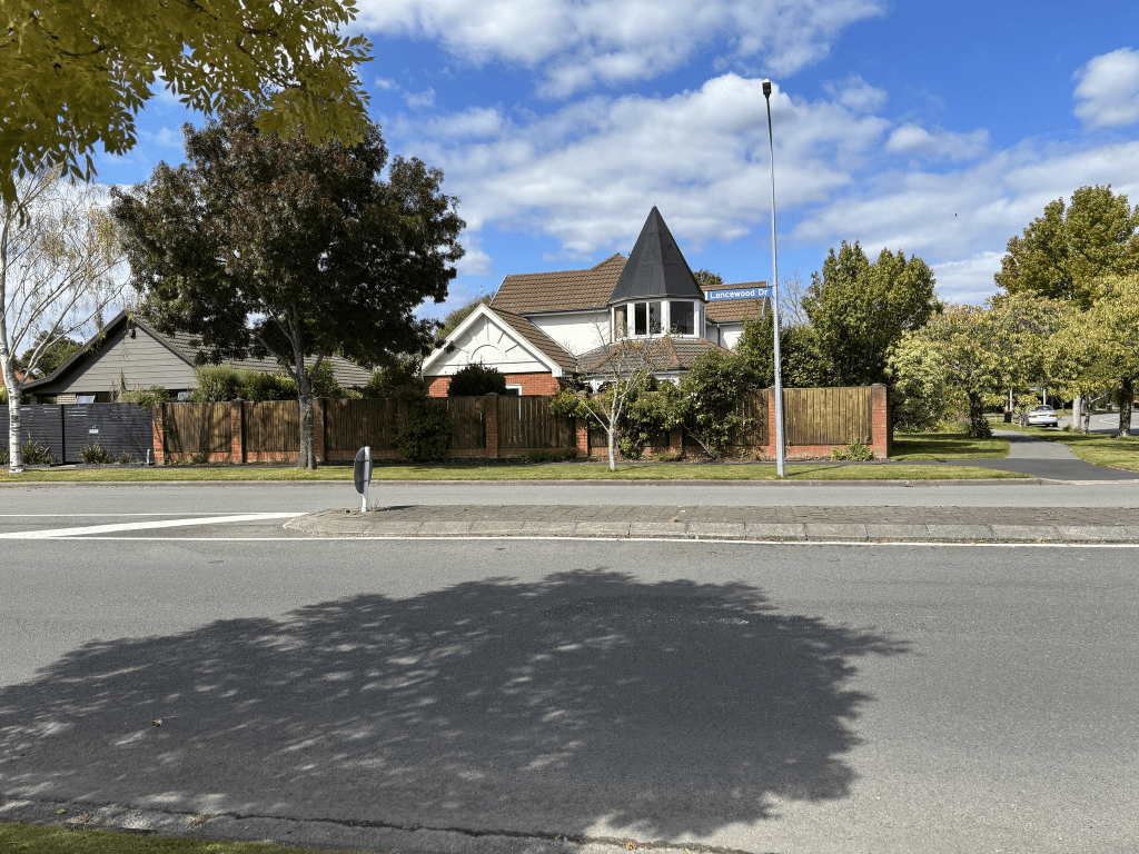
Lancewood Drive – In the Oaklands subdivision. First appears in street directories in 1987.
A tiny amount of information from the library website and the street is probably named after the lancewood plant and the other name for the plant is horoeka.
Very little information on Papers Past and it was mostly ads plus a few death notices. Sections and houses were for sale in the 1980s.
I walked this street a month ago when I was geocaching in the area. It is a pleasant tree lined street and the houses are a variety of styles. A couple of houses really stood out for me and I did like them. Most houses had established gardens and were pleasant to look at. There are two reserves with entrances from this street and I didn’t walk the Westlake Reserve this time but I did walk Lancewood Reserve walkway to the next street. I did drop into a friend’s house for a coffee and a chat when walking this street.
Syd Bradley Road – Named after Sydney “Syd” Bradley. Bradley was the chairman of the Christchurch International Airport Ltd 1999-2008.
The library website said that it was in the suburb of Avonhead and another website said it was in Yaldhurst.
A small amount of information from the library website and Syd Bradley is someone that I had met. Syd Bradley was Chief Postmaster before he was the chairman of the Christchurch International Airport. I started in the Post Office in 1974 and it then became Postbank and then ANZ.
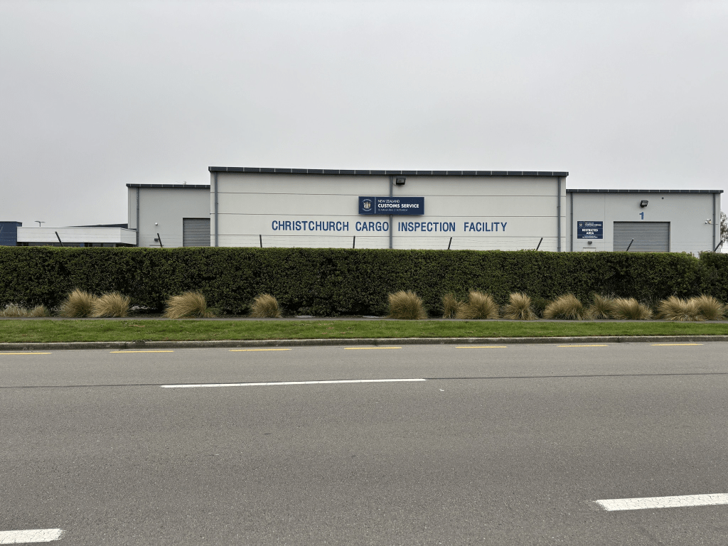
Therefore I was amused that many of the businesses here are related to postal services. When I was walking along this street a car pulled up next to me and it was two geocachers that I knew.
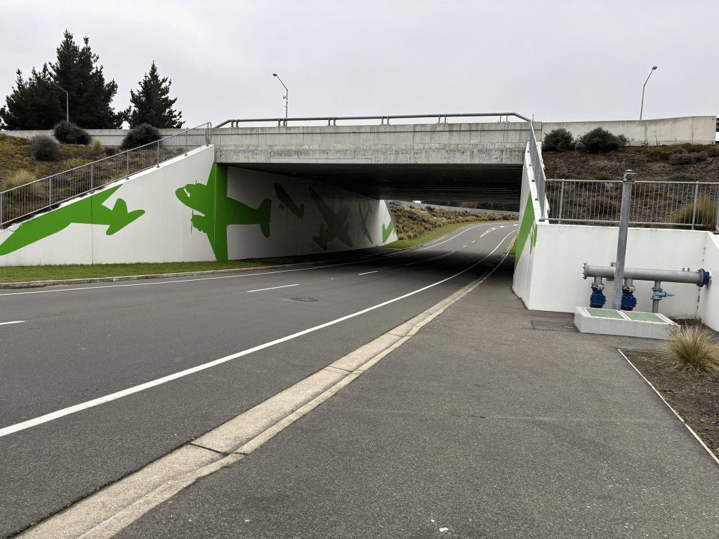
This street goes under the motorway and there are murals of aeroplanes here. After the tunnel there wasn’t a footpath but there was a large grassy verge
De Havilland Way in Harewood / Christchurch Airport and nothing on the library website.
I only partially walked this street as there was only a short footpath. The street mostly just had airport parking here and airport related businesses.
Rapide Way in Harewood – Named for the De Havilland Dragon Rapide Aeroplane. Continuing Plane theme of Dakota Park. Name requested by Christchurch International Airport in 2018 for right‐of‐way in Dakota.
A small amount of information from the new streets of Christchurch on library website. There wasn’t anything on the old library website.
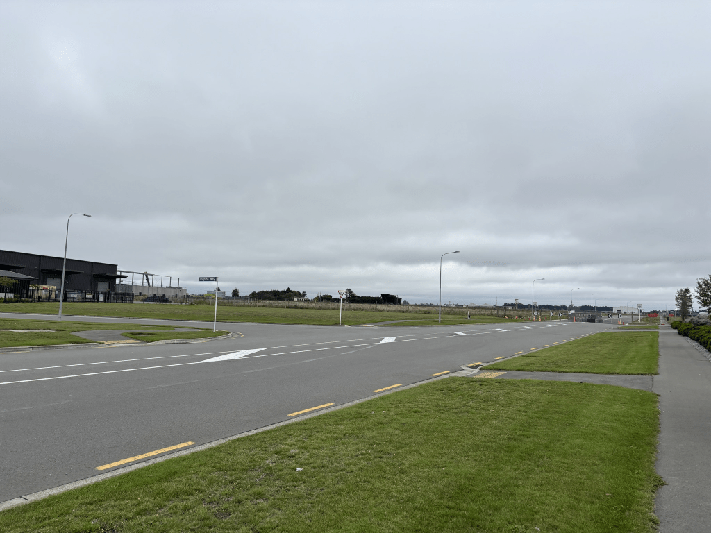
This street only has businesses plus empty land but at least it has a footpath.
Perimeter Road in Harewood and nothing on old or new library website. The name of the street is obvious.
The first entry on Papers Past was dated 1963 when the road was sealed. In 1966 the road was widened. The street was mentioned in 1977 when there was an article about more land needed for the airport.
I was surprised that this street had a footpath and all the buildings here related to the airport.
Durey Road in Harewood and there wasn’t anything on the library website. I also checked the new streets of Christchurch on the library website and nothing.
This is rather surprising as the earliest entry that I found on Papers Past was dated 1884. The street was known as Durey’s Rd and was being gravelled. The next entry was in 1938 when there was an article about the new city aerodrome when it was known as Durey Rd. The next two entries were dated 1959 and 1968 and both were in connection with the airport. I found a map which had the airport labelled Harewood Municipal Airport. The street ran from Burnside Rd to the airport and Burnside Rd is now known as Memorial Ave. I couldn’t find a map of the street before the airport was built.
Ancestry website gave me George Frederick Durey farmer of Harewood and he died in 1935. I now realise that I need to do more googling as it is likely that the airport was built on land owned by the Durey family. George Frederick Durey inherited the farm from his father George Adams Durey.
I walked this road this morning and it leads to car parking for the airport. I have actually walked this street a couple of times and a couple of years ago I walked from the Antarctic Centre to the airport because of the elephant sculpture trail.
Skyedale Drive in Harewood – Named after Skyedale, the house belonging to Mr and Mrs Macleod. The Macleods are shareholders in Nunweek Estates, developers of this subdivision off 547 Harewood Road. Their ancestral home is in the Isle of Skye. Named in 1999.
A small amount of information from the library website. I searched Papers Past for Skyedale and it was owned by Roderic Sandilands Macleod and his wife Janice. Roderic’s parents owned a property in Loburn called Sandilands. This is where I started to get confused as the library website for Applecross Lane said that Skyedale estate was developed on land owned by Ross Jason Macleod. I couldn’t find any connection between Roderic Macleod and Ross Macleod. Ross Macleod didn’t move to Harewood Rd until 2005 which was after Roderic Macleod had already developed his property Skyedale. Skyedale was on Harewood Rd where Nunweek Park now is sited.
The houses on this street are mostly on only one side of the street as Nunweek Park is on the other side. The houses were built in 2000 and 2005 and most are nice houses with nice gardens. I even saw spring flowers in a couple of the gardens yet it is autumn. One house that I quite liked had at least a dozen vans parked in the large driveway. Looked like they were running a business from this house.
St Clair Close in Harewood – Named because it is a family name belonging to Mr and Mrs Macleod. The Macleods are shareholders in Nunweek Estates, developers of this subdivision. Their ancestral home is in the Isle of Skye. Named in 1999.
A small amount of information from the library website and nothing that I can add about the name of the street. I searched the Ancestry website and couldn’t find anyone with that name in the Mcleod family.
The houses here were built in 2000 and 2005 and it was a lovely street. The houses were surrounded by lovely gardens with some really nice garden decorations.