Akela Street in the suburb of Merivale, Christchurch

Akela Street in Merivale – Formerly Milsom Street. Named after Joseph Milsom (1820-1902). Re-named Akela Street. Named after Nellie Christensen (1927-1947), an Akela (cub leader). Milsom was a St Albans borough councillor elected 1885. Milsom Street first appears in street directories in 1896. Re-named Akela Street on 1 September 1948 when 120 streets were re-named. Nellie Christensen, an office worker of 27 Chapel Street, Christchurch, belonged to the Merivale Scout Group, which had its Scout Den in this street. She died in the Ballantyne’s fire of 1947.

A small amount of information from the library website. I attempted to research Joseph Milsom but it got rather confusing as there were several men with the same name. I expected to find an obituary on Papers Past but nothing. He owned a business that was called J Milsom and Co and was a soda water manufacturer. In 1871 it was renamed Xrated Water Company and that he would be running the business on his own account and no longer had any connection with Henry Joseph Milsom. I thoroughly checked the Ancestry website and couldn’t work out their relationship but both were born in Devizes. Going by the various family trees they had different parents. Joseph lived on Aikmans Rd and I suspect that this street was developed on his land after he died in 1902 but couldn’t find the information to back up my theory. All the entries on Papers Past for Nellie Christensen only mention the Ballantyne’s fire. I was actually at the Ballantynes Memorial in the weekend getting answers for a multi geocache. I realised afterwards that I didn’t need to visit the memorial as I had photos of it thanks to my love of plaques and memorials.

Under Milsom Street there were very few entries apart from a couple of death notices and lots of ads. There was possibly a Milsom Street in Sydenham. There were two entries about the street name change as in July 1948 the street name was going to be Baden-Powell Street but in August 1948 it was to be Akela Street. No explanation for either name change.

Considering the name change was connected to the scouts it was surprising that there wasn’t more entries about the scout hall on Papers Past. In 1954 the play centre was broken into and vandalised and the toys destroyed. Looks like the play centre shared the scout hall with the scouts. In 1959 the scouts started raising funds to build a new hall as the old hall was in an old house that had been condemned. The new hall opened in 1962. The Merivale Scout group merged with the Fendalton scout group in 1998 and the hall on Akela Street was sold.

Most of the entries on Papers Past from the 1980s onwards were complaints about traffic and parking because of the Merivale Mall. I couldn’t find the exact date that the Mall was opened but there were lots of protests in 1978 about the proposal to build the Mall. One side of the street is next to the Merivale Mall car park and I couldn’t find out the date of when the car park was extended but it was probably around the year 2000 as that is just after the scout hall was sold.

The street now has parking limited to 120 minutes. I was surprised that the valuation websites only had one house on this street as when you walk the street it looks like there are several buildings here. I checked google maps and these buildings all had addresses on the surrounding streets but had entrances and garages on Akela Street. Google maps also didn’t show street view earlier than 2012 which was annoying as I thought that there was an agreement to keep street view from before the earthquakes. I had an appointment at Breastcare at St Georges Hospital today so decided to walk a few streets after my appointment. Don’t panic there is nothing wrong with me and because I am in the At Risk Screening I have to go to Breastcare at St Georges Hospital.

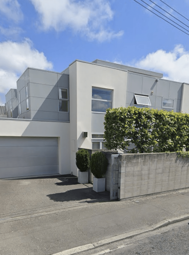
I thought that I had taken a photo of a building on this street but the address of it was on another street so I took a screenshot from street view of the only building with an address on this street.
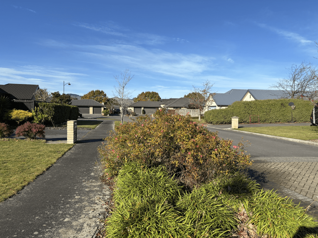
Broken Run in the suburbs of Halswell or Wigram, Christchurch

Broken Run in Halswell or Wigram – Named because, before development, the land was a grazing farm with a natural valley and waterway splitting the farm into two halves, thus being a broken farm or run. The first spine road into the Broken Run subdivision. Named by the developers, Brian Gillman Ltd. Named in 2005.

A small amount of information from the library website and another street where the library says that it is in Halswell and the valuation website and google maps say that it is in Wigram.

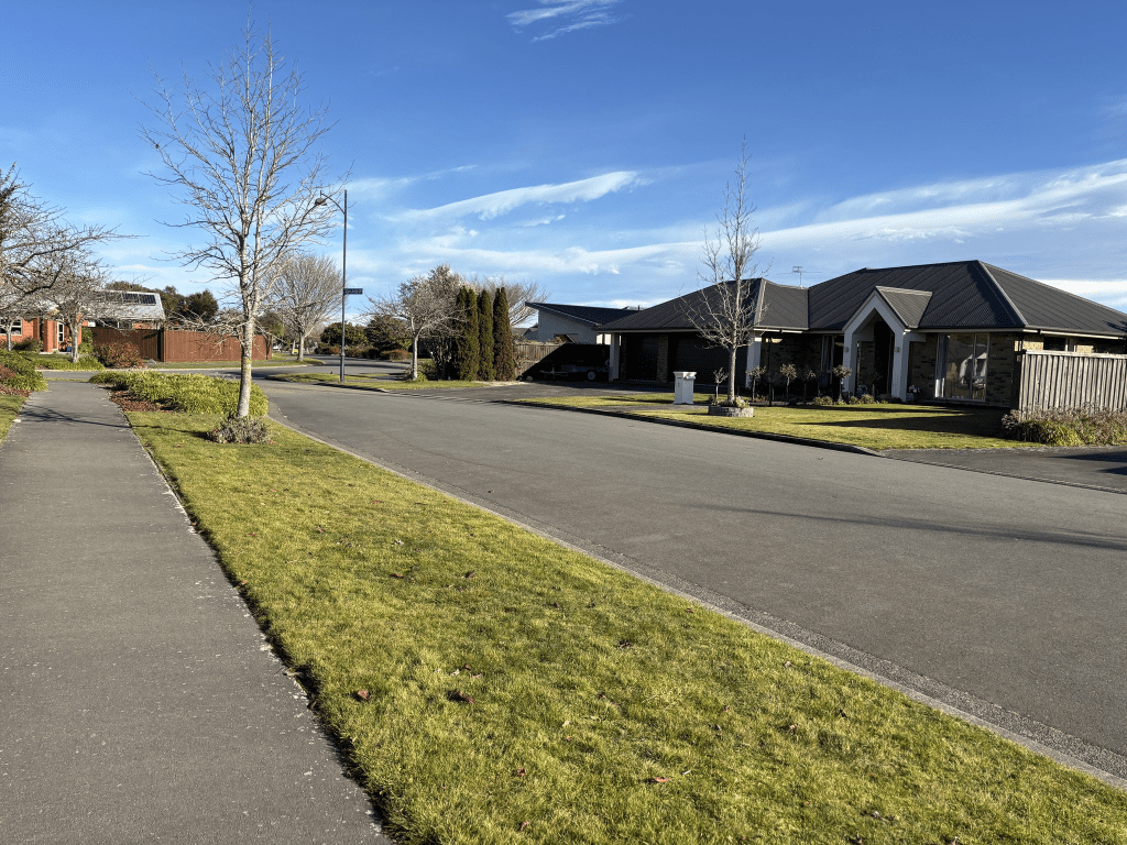
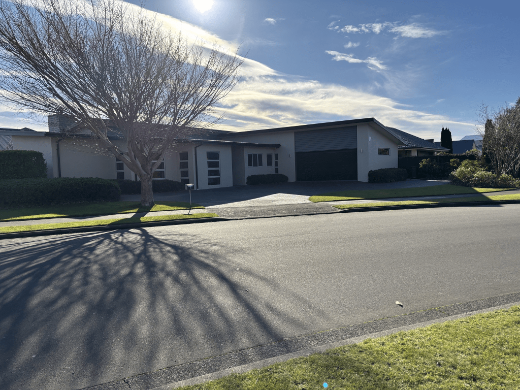
Most houses here were built in 2000 and it is a pleasant tree lined street. There is a playground and tennis court on a piece of ground called Broken Run Reserve. This is near the entrance to Highpeak Place. Broken Run from Highpeak Place to Wigram Road has a creek running alongside of it. There is also an entrance to a walkway. The houses are on fairly big sections here which is nice to see as I live in a suburb where they are demolishing older houses and cramming several units on the sections. There was a variety of house styles but one stood out for me and I didn’t really like it. It looked like a commercial building rather than a house and I have seen country fire stations that look just like this building.

Longspur Avenue in the suburbs of Halswell or Wigram, Christchurch

Longspur Avenue in Halswell or Wigram – Named after Longspur, a high country station near the Rakaia Gorge. The streets in the Broken Run subdivision are all named after high country stations. Named by the developers, Brian Gillman Ltd. Named in 2005.

A small amount of information from the library website. It is another street where the library puts it into Halswell and the valuation website and google maps put it into Wigram.

The 54 houses here were mostly all built in 2000 with a few built a bit later. A nice variety of house styles but I didn’t take any photos. Some nice gardens and I did like this tree lined street. Lots of campervans parked up and luckily most places had plenty of room on the driveways for them. I will have to be honest and the house with a sign of a witch on a broomstick would have to be my favourite. Yes the Community Patrol car did want to know why I was so interested in the house. We ended up having a great chat and I now know where I can go and my own witch on a broomstick. One of my friends on the quiz team is going to get a lot of amusement when I tell him tonight as he belongs to the Community Patrol group.

Cromdale Place in the suburbs of Halswell or Wigram, Christchurch

Cromdale Place in Halswell or Wigram – Named after Cromdale, a high country station located in the Lees Valley near the Ashley River. The streets in the Broken Run subdivision are all named after high country stations. Named by the developers, Brian Gillman Ltd. Named in 2005.

A small amount of information from the library website and yet another confused street. The library website says that it is in Halswell and the valuation website and google maps say Wigram. Sounds like the Cromdale High country station at this stage is the only one in the Lees Valley area that hasn’t been purchased by Americans. I checked maps to see if I had been to Cromdale in Scotland and it doesn’t look like I have been there.

The houses in this street were built in 2000 and my word for this street is boring. Practically no flowers in the gardens and just immaculate lawns or shrubs trimmed within an inch of their lives. The entrance to the street was pleasant. Not everyone has a wildness area like what I have and yes I should garden occasionally and it is small enough to keep under control.

Grassington Lane in the suburbs of Halswell or Wigram, Christchurch

Grassington Lane in Halswell or Wigram – Named after Grassington Station, situated behind Rotherham on the banks of the Waiau River. The streets in the Broken Run subdivision are all named after high country stations. Named by the developers, Brian Gillman Ltd. Named in 2005.

A small amount of information from the library website and another confused street. The library website said that it was in Halswell and the valuation website and google maps say Wigram. I couldn’t find any information about this sheep station when I googled and it kept saying that there were no railway stations with this name in New Zealand. I am sure that google searches have got worse since AI. Grassington in North Yorkshire looks like a lovely place and it has a railway station. Yes I am being sarcastic.

There are only 9 houses here built in 2000 and they look pleasant enough. There wasn’t a footpath and I thought that the properties would have been aimed at older people but going by the number of basketball hoops there are probably several teenagers living on the street.

At the start of the street where it leads off Broken Run there is an entrance to a walkway.

Glen Arrife Place in the suburbs of Halswell or Wigram, Christchurch

Glen Arrife Place in Halswell or Wigram – Named after Glen Arrife, a high country station in the Rakaia River catchment. The streets in the Broken Run subdivision are all named after high country stations. Named by the developers, Brian Gillman Ltd. Named in 2005.

A small amount of information from the library website and it is another confused street about which suburb it is in. Library says Halswell and google maps and valuation website say Wigram. Note the high country station and the town in Northern Ireland spell it as one word Glenarrife. Apparently Glenarrife means arable valley.

The Glenarrife Station has a salmon research station on the property.

The street has only 9 houses built in 2000 and they were nice looking houses. Footpath on only one side of the street and I entered the street from the nearby walkway.

Ryton Way in the suburbs of Halswell or Wigram, Christchurch

Ryton Way in Halswell or Wigram – Named after Ryton Station, situated at the head of the Ryton River which feeds into Lake Coleridge. The streets in the Broken Run subdivision are all named after high country stations. Named by the developers, Brian Gillman Ltd. Named in 2005.

A small amount of information from the library website and it is another street that is confused about which suburb it is in. Library website says Halswell but google maps and valuation website says Wigram.

There are only 5 houses here built between 2000 and 2010 and the street is a tiny one that runs off Highpeak Place. No footpath.

I got a bit sidetracked here as Ryton Station has been in the news as in 2009 it was purchased by an English Merchant Banker who lives in Ho Chi Minh City. He paid $23.5 million for the property but doesn’t live on it as he still lives in Vietnam. He also purchased a neighbouring property. In 2023 there was a big dispute with Canterbury University as he leased land from the University but seemed to object to paying rent. He also possibly stopped access to walking tracks.

My photo is from me standing in Highpeak Place.

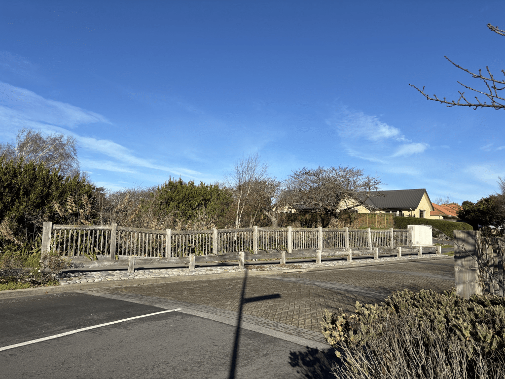
Highpeak Place in the suburbs of Halswell or Wigram, Christchurch

Highpeak Place in Halswell or Wigram – Named after Highpeak, a high country station located at the head of the Selwyn River. The streets in the Broken Run subdivision are all named after high country stations. Named by the developers, Brian Gillman Ltd. Named in 2005.

A small amount of information from the library website. The library states that the street is in Halswell but the property valuation website and google maps put it into Wigram. I have actually stayed at Highpeak Station twice. Once was in the 1990s when a friend of a friend was working on the station. I remember being given a ride in an all terrain type of vehicle to explore the countryside. The owner James Guild died last year and I believe that a son now runs the place. The second time I stayed here was when I went out with a tramping group for a weekend tramp. I can’t remember what year that was.

Because this is a fairly new street there isn’t anything on Papers Past. I did look as the property valuation website said that one house dates from 1980 but the rest were built in 2000. Nothing stood out for me but it was a pleasant tree lined street. The houses were a variety of styles and I couldn’t see the house built in 1980 as it was down a very long drive. The footpath was on only one side of the street and at the end of the street where it joins Broken Run there is a creek.

Torlesse Street in the suburb of Avonside, Christchurch

Torlesse Street in Avonside – Named after the Priscilla Catherine Torlesse (1824?-1896) was a niece of Edward Gibbon Wakefield and sister of the Rev. Henry Torlesse and Charles Obins Torlesse. She lived at 238 Gloucester Street and is buried at Linwood Cemetery. Charles Obins Torlesse (1825-1866) was a surveyor and a nephew of Edward Gibbon Wakefield. He arrived in Canterbury in 1841 and established himself at Fernside, Rangiora. He died in England. Frances Torlesse (1825- 1925) worked with Anglican social welfare groups. In 1893 she was honorary superintendent of the Home of Refuge, Linwood. She also lived at 238 Gloucester Street but died in England. The Rev. Henry Torlesse (1832-1870) was a vicar of Banks Peninsula. In a government housing subdivision. The name was submitted by the Director of Housing Construction, Mr A. Tyndall. Named in 1938. First appears in street directories in 1939. Information supplied in 2006 by Richard Greenaway.

A reasonable amount of information from the library website and Richard Greenaway is a good researcher. Plenty of information online about the Torlesse family.

The earliest mention on Papers Past was in 1938 when names were chosen for the streets in the Government Housing Block which was also called Armstrongs Block. Lots of death notices over the years plus they seemed to be an accident prone lot on this street.

In February 1948 an accident on the South Island Main Trunk line was mentioned as three people from this street were injured and one person died. I did google New Zealand train crashes and this crash happened in Seddon where the train driver misjudged the speed to go around a curve. He was inexperienced on this route and he was found not guilty of manslaughter. In 1967 there were several mentions of Torlesse Street cottages to be built for pensioners. These cottages ended up with their own street name of Mabel Howard Place.

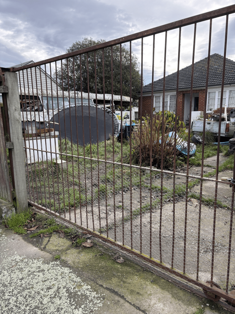
I walked this street on Sunday as I was geocaching in the little park that runs off this street. It is a tree lined street that should be a pleasant street. Most houses here were built in the 1930s and 1940s with some from 2022. Looks like at least half of the houses are still social housing including the new ones built in 2022. It was fairly obvious which houses are now privately owned. Not sure about the house that looks like it houses a hoarder. The street runs from Kerrs Road to the river.

Mabel Howard Place in the suburb of Avonside, Christchurch

Mabel Howard Place in Avonside – Named after Mabel Bowden Howard (1894- 1972). Mabel Howard was a trade unionist, community worker and politician and the Labour member of parliament for East Christchurch 1943-1969. This complex comprises 59 Council-owned rental units built in 1968. Named in 1967.

A small amount of information from the library website and nothing that I can add about the name of the street. Mabel Howard was well known and the bloomer incident in Parliament is also fairly well known. Sadly I hadn’t realised that she had died in Sunnyside from dementia.

There are 59 units here being to Otautahi Community Housing Trust. When they were built they would have been owned by the City Council and were pensioner cottages. The official opening was in September 1968 and this opening had been delayed. The official opening was supposed to have happened in April 1968 but was delayed because of the April storm. Most of us will remember this storm and I remember being stuck on the school train between Linwood Railway Station and the Heathcote Railway Station for what felt like hours. We were glued to listening to the transistor radio that was owned by someone called Mike.

Most of the entries on Papers Past were death notices which is hardly surprising considering the ages of the residents. There was a sad death in 1981 where a man’s body was found in his burnt out flat. The cause of the fire was a cigarette.

I only walked a few metres here before deciding that I didn’t feel safe. The units are no longer pensioner housing and I recognised one of the residents as being one of the aggressive beggars that hangs around the central city. He claims to be homeless but he obviously isn’t homeless. Definitely no photos here.