Ladbrokes Place in Fendalton – no information on the library website which was surprising as most of the houses date from 1960s.
Looks like it was a Maurice Carter development and there were lots of ads for the sale of houses in 1967. A couple of the articles spelt it as Ladbrookes Place. Possibly named after Jacob Ladbrooke who farmed in the area but couldn’t find an exact address for his property. I searched Papers Past and Ancestry website but couldn’t find much information. The small street runs off Plynlimon Road and there was a footpath on both sides of the street. Looked like a pleasant street and every house was a different design which was a feature of Maurice Carter developments.
Windermere Road in Papanui – formerly Park Road Named after Lake Windermere, the largest natural lake in England. Park Road first appears in street directories in 1887 running off Blighs Road. Re-named Windermere Street on 24 May 1926 when 21 streets were renamed. A Papanui war memorial street.
A small amount of information from the library website. Papers Past didn’t say why the name change but it was probably because of other streets with similar names.
Presbyterian Social Services Association mentioned a few times on Papers Past in connection with a children’s home in 1920s and 1930s. In 1970s they converted the children’s home into a home for the elderly. There is now Windermere Rest Home also known as The Bellvue Care Centre and Villas. Lots of building work happening here.
In 1930s a Boys Boarding School called Loreto was built and run by Sisters of Mercy from Villa Maria Convent. It is possibly now a marae called Te Ora Hou Otautahi. They have kept the old chapel and some of the school buildings. They said to come back again in a year’s time as they should have all the work finished. I had a lovely chat with two of the staff.
In 1930 there was an article about the old house Dalraida being demolished and a brief history of the house.
In 1966 there was a very sad incident on this street where a mother killed her two children by cutting their throats with an axe. She then attacked herself with the axe but survived.
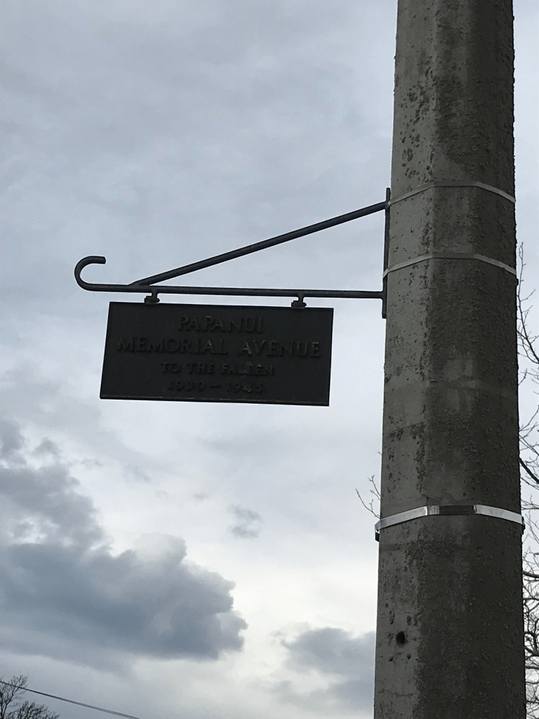
Most houses on this street were built in the 1970s but there were houses from every decade starting from 1910. One of the houses from 1910 was gorgeous. Another house had a strange building in the backyard and it looked like a water tower but was on private property. It was an interesting street with some lovely houses. It is also a memorial street with a plaque hanging from a lamp post.
St James Avenue in Papanui – St James Park Road and James Avenue.Named after James Triggs (1816-1898). Triggs was a dairy farmer, and later a fruit-grower, of Papanui. He died at his residence in Harewood Road. James Avenue was formed on land once owned by St. Paul’s Anglican Church, Papanui where Triggs was the verger in the 1870s. St James Park Road first appears in street directories in 1892 running off Park Road (later Windermere Road); James Avenue in 1907 running off Papanui Road. The two were amalgamated and re-named St James Avenue in 1924. A Papanui war memorial street. [21 pairs of oak trees in the street were planted as a memorial to those who served in World War II. This street lost all of its young men during the war.]
A reasonable amount of information from the library website and I suspect that there is a mistake in this information. James Avenue actually ran off Harewood Rd where James Triggs had his property. I personally think that James Avenue was formed on the land that James Triggs owned as he died in October 1898 and his wife died December 1898. St James Park Road ran off Park Road ( Windermere Road). St James Park seemed to have been created at the same time as the street St James Park Road.
In 1924 Papanui Burgess Association reported that St James Avenue was actually called James Avenue in Government Rolls. They suggested that St James Avenue to be used for the street. I got the feeling when reading Papers Past that many people didn’t realise that it was actually two separate streets as the streets merged on a bend. Between 1930s and 1950s there were many mentions about the Papanui Garden Competition. In 1935 land was acquired for croquet greens and joins up with St James Park.
The oldest house on the street dates from 1905 and it looks lovely. Couldn’t get a photo as there is a big hedge in from of it. Several houses from 1910 and 1915. There are houses from every decade with the most being 1930s and 1970s. A few modern houses which I personally thought looked out of place next to the lovely old villas. If I lived here I would prefer Windermere Road end rather than Harewood Rd end because Harewood Road end would be noisy. Two entrances to St James Park and one entrance had a lovely gate. The croquet club is still there and next to this is a walkway to the park. There is a plaque hanging from a lamp post at the Windermere Road end for this street being a memorial street and the reason for it being a memorial street is very sad if you read the information from the library website. I was geocaching in the area today.
Dalriada Street in Papanui – Named after Dalriada, a house on the corner of Blighs Road and St James Park Road (later St James Avenue). In 1912 the house was at 19 St James Park Road. Dalriada was the first two storey dwelling built in Papanui. It was built by John Cooke, manager of the New Zealand Loan & Mercantile Company, in the early 1880s. In 1882 his wife gave birth to a son at Dalriada, Papanui. In 1884 Mrs Cooke, Dalriada, Bligh’s Road, Papanui advertises in the Star for “a general servant, competent to undertake plain cooking”. The family moved to Australia in 1889.
For a time the property was let to the 4th Earl of Bantry (1854-1891) and then William Stuart Crichton (1851?-1933). In 1891 the property was sold to David Morrow (1837-1920), an importer of McCormack-Deering farm machinery. The estate was subdivided in 1928 and the house demolished in 1930. Name suggested by the Papanui Progress League in 1932. Officially named by the City Council in 1934 “after the Morrow estate from which the land was secured”. First appears in street directories in 1936.
A huge amount of information from the library website for a tiny street that has only three houses on it. The street runs from St James Ave to Windermere St. Papers Past in 1932 it was mentioned that a new street will be formed and in 1934 it is mentioned that new street to be named Dalraida Street after the name of the Morrow estate. Huge number of entries for John Cooke because of his involvement with the frozen meat trade in New Zealand and Australia. He died in December 1917 aged 66 in Eastbourne UK. His obituary didn’t mention his wife or family and his grave stone only has his name on it. I searched ancestry website with no luck. Several family trees have him on their trees but I am not sure they are correct. He was probably born in Northern Ireland and Dalraida means Gaelic Kingdom and this kingdom covered Western Scotland and North East of Ireland.
The street didn’t stand out for me and personally the best part of the street is the name.
Chepstow Ave in Fendalton – formerly Chepstowe Street. Named after Chepstow, in Monmouthshire, Wales. Formed in 1953 and originally named Chepstowe Street. The “e” was dropped in 1956 and the street became Chepstow Avenue.
A small amount of information from the library website. Found the article from 1956 about the street name change and it didn’t say why the name change but suspect that the council realised that they had spelt it wrong. The only entry in Papers Past under Chepstowe Street was in 1954 where there was an article about state sections and ballots for returned servicemen. Several ads for the sale of houses in 1950s had it spelt Chepstoe Street. Not many mentions in Papers Past for this street.
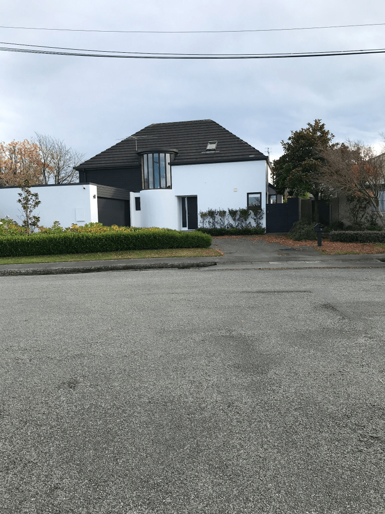
This street runs off Jeffreys Rd and I had been geocaching in the area. I was surprised at how many modern houses were on this street and some are really ugly. Most houses were built in 1950s but there are houses from every decades up to 2022. So many different styles of houses and I particularly liked the house which had what looked liked a glass turret. It is unusual for me to like a modern house.
I have been to Chepstow in Wales and it is a lovely place.
Verran Place in Fendalton – First appears in street directories in 1955. A tiny amount of information from the library website.
After looking at Papers Past and ancestry website it is highly likely that this street was named after the Verran family. They had an orchard at 23 Jeffreys Rd called Penventon Farm. One of the brothers had a farm at 12 Waiwetu Street. John Moyle Verran died in 1933 but there were at least two sons James and Richard. I thought that the various family trees on the ancestry website had made a mistake as they had John Moyle Verran born in Australia in 1852 but living in Cornwall in 1861. The family trees were correct as the family went to Australia where they had two children before returning to England. John was described as a miner in 1861 census aged 9 years. In 1874 they returned to Australia. By 1890 the family were in Christchurch.
In 1953 there were ads for tender for building a parsonage for St John’s Methodist Church. In 1968 the church built a new parsonage on Jeffreys Rd to replace the old one on Verran Place. In 1955 there were crown land sections available with returned servicemen having preference in the ballots. I was amused by an ad for the sale of a house in 1960 where it was described as being in that exclusive area of Fendalton were every house is different and of exceptional high quality.
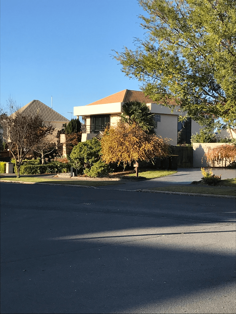
Most of the houses were built in 1950s and there was a footpath on both sides of the road. The houses didn’t really stand out for me but one of the houses looks very modern for a house built in 1950. A pleasant street with well established gardens. One house did look a bit rundown.
I was in the area this morning finding a cache in the nearby library
Westlake Drive in Halswell – In the Oaklands subdivision. First appears in street directories in 1991. A tiny amount of information from the library website.
This area of Halswell was built around an artificial lake in Westlake Reserve. Westlake Drive runs past the reserve and most houses were built in 1990s but the houses at Dunbars Rd end were built in 1980s. The more interesting houses are between Dunbars Rd and the reserve. Couldn’t find much information online and this wasn’t helped by a new subdivision in the north of Christchurch also called Oaklands. I walked this street about 10 days ago when I was geocaching in the area. I did like many of the houses here and it would be pleasant being able to walk in the reserve. I can remember when there were very few houses in this area.
Lakeview Place in Halswell – In the Oaklands subdivision. First appears in street directories in 1991. A tiny amount of information on the library website. Reason for the name will be because of being close to Westlake but you can’t actually see the lake from the street. The street runs from Lancewood Drive and there is an entrance to Campion Reserve Playground from this street. The houses were built in 1980s and 1990s and mostly made from brick. Footpath on only one side of the street. None of the houses stood out for me but at least they are all different designs. Looked like a pleasant street.
Hemingford Place in Halswell – First appears in street directories in 1995. A tiny amount of information on the library website.
A pleasant street that runs off Westlake Drive. The footpath was on only one side of the street. The 9 houses were built in 1990s and were all brick houses. I quite liked a couple of the houses and there were some really nice gardens. Couldn’t find a reason for the name of the street and it is either someone’s surname or a place name. There is a place in the UK called Hemingford Grey.
Eskdale Place in Halswell – First appears in street directories in 1995. A tiny amount of information on the library website.
This street runs off Westlake Drive and ends at Campion Reserve Playground. Campion Reserve Playground is at least 3 streets away from Campion Place. I suspect that this street is named after Eskdale in the Lake District in the UK. The houses here were built in 1990s and are all made from brick. None of the houses stood out for me and it was mostly immaculate lawns rather than gardens.