Chardale Street in the suburb of Avondale, Christchurch

Chardale St in Avondale – First appears in street directories in 1987.

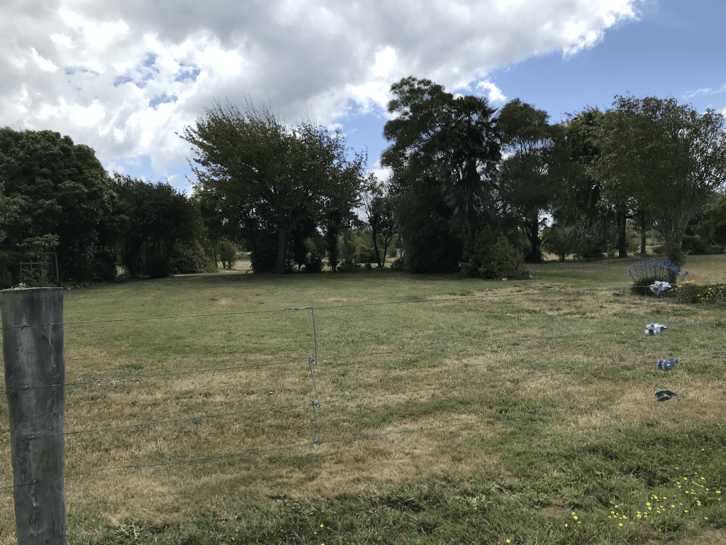
A tiny amount of information from the library website and I couldn’t find out how it got the name. Couldn’t find anyone with it as a surname. I also couldn’t find it as a place name but it looks like it should be a place name. About half of the remaining houses were built in 1990s and the rest are rebuilds. One of the rebuilt houses has had the land raised so it is above the road and the other houses. Only houses on one side of the street and the other side is in the red zone. Look like a tiny community garden here.

Gertrude Place in the suburb of Avondale Red Zone, Christchurch

Gertrude Place in Avondale red zone – Named after Gertrude Eva Webb (1911- 1991). Gertrude Webb worked for the Christchurch Drainage Board for many years as a cleaner, and the street was named after her to show the affection she was held in by her employers. The Christchurch Drainage Board owned an area of low lying land in Avondale which they filled up with dredgings from the river so the land could be subdivided and built on. The Board named the streets formed there and former board and staff members of the Drainage Board were among those honoured in the naming of streets. At the time of naming it was intended to have 11 streets and cul-de sacs in the new subdivision. Named on 21 November 1984. First appears in street directories in 1987. Information supplied in 2007 by Paul Baldwin, Christchurch City Council, in an interview with Margaret Harper.

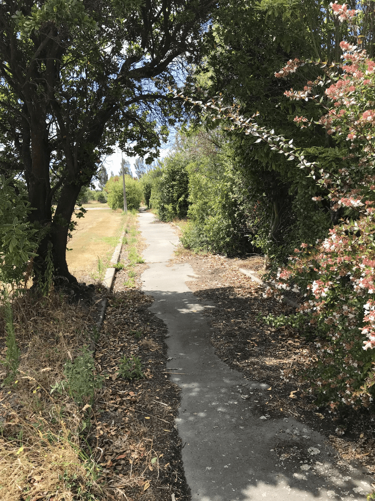
A reasonable amount of information from the library website. There are no longer any houses here. There is a walkway from Scoular Place to this street and it was in better condition than the footpaths to walk on.

Scoular Place in the suburb of Avondale Red Zone, Christchurch

Scoular Place in the Avondale red zone – Named after Peter Gray Scoular (1924-1983). Scoular was chief engineer of the Christchurch City Council during the 1970s through to 1982. The Christchurch Drainage Board owned an area of low-lying land in Avondale which they filled up with dredgings from the river so the land could be subdivided and built on. The Board named the streets formed there and former board and staff members of the Drainage Board were among those honoured in the naming. At the time of naming of the streets it was intended to have 11 streets and cul-de-sacs in the new subdivision. Named on 21 November 1984. First appears in street directories in 1987. Information supplied in 2007 by Paul Baldwin, Christchurch City Council in an interview with Margaret Harper.

A reasonable amount of information from the library website. I googled Peter Scoular as his name was familiar. One entry I found was about his daughter Robin graduating in 1976 with a bachelor of engineering degree. She was described as the only girl graduating with this degree. I doublechecked the year books from High School and Robin was a year ahead of me which is why the name was familiar.

No longer any houses here and the Avondale Community Garden is on the corner of Mervyn Drive and Scoular Place. There is a walkway that takes you to Gertrude Place.

Waddell Lane in the suburb of Avondale, Christchurch

Waddell Lane in Avondale – Named after Leslie Arthur William Waddell (1903- 1982). Waddell, a contractor, undertook work for the Christchurch Drainage Board, especially to do with sewers. The Christchurch Drainage Board owned an area of low-lying land in Avondale which they filled up with dredgings from the river so the land could be subdivided and built on. The Board named the streets formed there and former board and staff members of the Drainage Board were among those honoured in the naming. At the time of naming of the streets it was intended to have 11 streets and cul-de-sacs in the new subdivision. Named on 21 November 1984. First appears in street directories in 1987. Information supplied in 2007 by Paul Baldwin, Christchurch City Council, in an interview with Margaret Harper.

A reasonable amount of information for a tiny street. Most houses here were built in 1980s and I only walked a tiny part of the lane. The footpath was only about 20 to 25 metres long and in poor condition.

Hunt Lane in the suburb of Avondale, Christchurch

Hunt Lane in Avondale – Named after Hugh Peter Hunt. Hunt was chief engineer with the Christchurch Drainage Board 1981- 1989. The Christchurch Drainage Board owned an area of low-lying land in Avondale which they filled up with dredgings from the river so the land could be subdivided and built on. The Board named the streets formed there and former board and staff members of the Drainage Board were among those honoured in the naming. At the time of naming of the streets it was intended to have 11 streets and cul-de-sacs in the new subdivision. Named on 21 November 1984. First appears in street directories in 1987. Information supplied in 2007 by Paul Baldwin, Christchurch City Council in an interview with Margaret Harper.

A reasonable amount of information from the library website for such a tiny street. There were more houses here than I expected as it only looks like a driveway to a couple of houses but there are actually 8 houses here all built in the 1990s. It did have a tiny footpath that went for a short distance into the street. Still felt like a private driveway.

Baladin Street in the suburb of Avondale, Christchurch

Baladin St in Avondale – First appears in street directories in 1988.

A tiny amount of information from the library website. I searched but couldn’t find a reason for the name. Was possibly a surname but ancestry website couldn’t give me anyone living in New Zealand with that name. I searched cemetery databases with no luck. Findagrave only had two people with that surname worldwide. I couldn’t find it as a place name anywhere. I am not even too sure which language it is from as I found it connected to Italian, French and Turkish. Various meanings were wandering entertainer theatical dancer, jester, buffoon and clown.

Only 16 houses houses here and most were built in 1990s and houses are mostly on only side of the street as the rest of the street is in the red zone. One house was raised above the street and the rest of the houses and it looked slightly odd. Checked street view and it is a rebuild and the original house wasn’t raised.

Culver Place in the suburb of Avondale Red Zone, Christchurch

Culver Place in Avondale red zone – Named after Culver Cliff or Culver Down on the Isle of Wight. In a subdivision between the Avon River, west of the Bower Bridge, and the northern end of the Avondale Golf Course of a 50 acre farm formerly belonging to Stewart Clendinning Hampton (1908- 1993). All the streets are named after places on the Isle of Wight. Developed from 1969 by Merrit-Beazley Homes Ltd. Named on 16 June 1975.

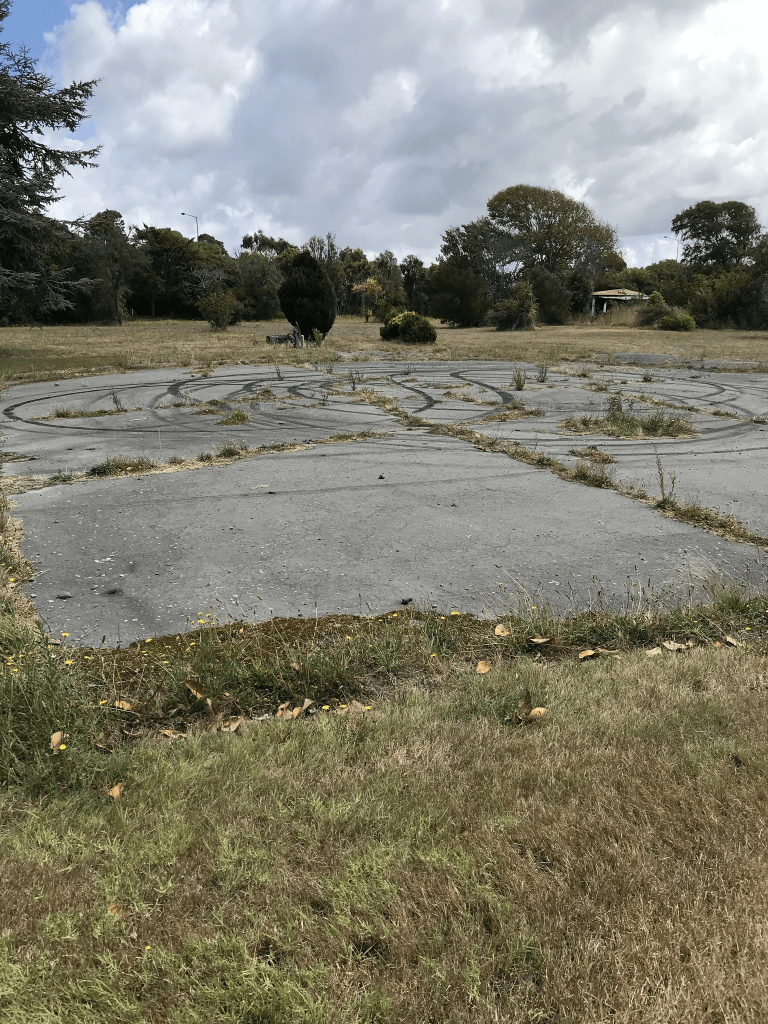
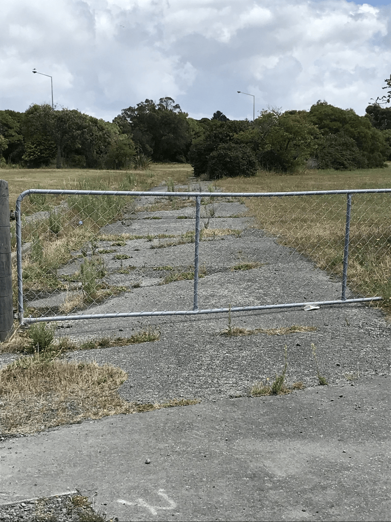
A reasonable amount of information from the library website. Papers Past in 1977 had several ads inviting you to village their Show Village which was a new concept in living. Street view for 2009 shows a typical street of houses for the 1970s. There are no longer any houses here and there is a gate where the entrance to the street would have been but you are able to walk around it. The boy racers obviously can get in as there were recent looking burn out marks.

Chale Lane in the suburb of Avondale Red Zone, Christchurch

Chale Lane in Avondale red zone – Named after Chale, a village on the Isle of Wight.In a subdivision between the Avon River, west of the Bower Bridge and the northern end of the Avondale Golf Course of a 50 acre farm formerly belonging to Stewart Clendinning Hampton (1908- 1993). Developed from 1969 by Merrit-Beazley Homes Ltd. All the streets are named after places on the Isle of Wight. Named on 16 June 1975.

A reasonable amount of information from the library website. Only two entries on Papers Past and they were ads for selling houses. I was very surprised to realise that there is still a house on this street but it is in a very bad state and the garage next to it has obviously had a fire. I checked street view and the house was looking OK in February 2022 and probably was still being lived in. There were two news articles that I found about the owner of the house and he had no intention of moving from the house. One article was dated 2014 and the other article was dated February 2021. Sounds like he was a bit of a character. I didn’t find a death notice for him.

Calbourne Lane in the suburb of Avondale Red Zone, Christchurch

Calbourne Lane in Avondale Red Zone – Named after Calbourne on the Isle of Wight. In a subdivision between the Avon River, west of the Bower Bridge, and the northern end of the Avondale Golf Course, of a 50 acre farm formerly belonging to Stewart Clendinning Hampton (1908-1993). All the streets are named after places on the Isle of Wight. Developed from 1969 by Merrit-Beazley Homes Ltd. Named on 16 June 1975.

A small amount of information from the library website. Stewart Clendinning Hampton had no connection with Isle of Wight as his ancestors were Irish. Clendinning was his grandmother’s surname. I checked Stewart’s wife and she didn’t have any connection to Isle of Wight either so it must have been a random decision by the developers to name the streets in the area after places in the Isle of Wight. Stewart Clendinning Hampton was a dairy farmer on Wainoni Rd and after he sold his land here he moved out to Fernside to farm.

First mention in Papers Past was an ad in 1970 and the area was being called Cedarwood. Between 1970 and 1979 all the entries on Papers Past were ads for half built houses being sold.

I didn’t actually walk this street as it is blocked off by a fence and locked gate. There are no longer any houses here as it is in the red zone. Street view from 2012 showed houses that were still being lived in and several looked like council housing. Street view from 2009 showed a very ordinary looking street.

Arthur Street in the suburb of Upper Riccarton, Christchurch

Arthur St in Upper Riccarton – formerly Toroa Road Named after Arthur William Biggs (1881-1955). Toroa Road first appears in street directories in 1955. Re-named Arthur Street in 1958. Arthur Biggs, a farrier, had premises at 347 Riccarton Road during the 1920s and 1930s. Re-named by Joseph Irvine Colligan (1910- 1965), a hairdresser and chairman of the Waimairi County Council 1960-1965.Information supplied in 2004 by Aileen Colligan (1910-2010) in an interview with Margaret Harper.

A small amount of information from library website. Only a few ads on Papers Past under the name Toroa Rd and didn’t find any information about changing the street name. I probably missed information as Arthur St as there were so many streets throughout New Zealand with the same name. The usual death notices. In 1965 Middleton Grange had an application approved to build a secondary block with entrances on Arthur St and Suva St. There was probably state houses on this street as I found an ad for a state house tenant wanting to swap houses and this was under the Toroa name. Most houses here were built in the 1950s and many had a state house look about them. Most looked nice and tidy with nice gardens but none stood out for me. There is obviously a car park and entrance for Middleton Grange School. A group who call themselves Equippers Church hold their meeting at the school. I googled them but was none the wiser about their version of Christianity. There was a group of houses down a long driveway called Gilling Courts but nothing online about it but possibly over 60s units.

Arthur William Biggs was actually a blacksmith and in his obituary it said that he was responsible for the creation of the Riccarton Domain. He was very keen on playing cricket. The more interesting information about this man was in the court news. He had been charged more than once for running a gaming house or being a bookmaker. He was divorced by his first wife because of his adultery. He also appeared in court for not paying his wife maintenance.

Edited as I have just checked old maps. Map for 1950 shows Toroa Rd as a small dead end road off Hansons Lane. Map for 1962 shows a dead end road off Hansons Lane and a second dead end road off Middleton Rd. The map for 1974 shows the two small streets joined up and called Arthur St.