Chaston Close in the suburb of Westmoreland, Christchurch

Chaston Close in Westmorland – Probably named after Jack Chaston. Chaston is listed in the 1970 telephone directory living at 255 Cashmere Road. The street was named after “a Mr J. Chaston, one of the early residents of Westmorland”. Developed on the Worsley Farm subdivision. Named in 2006.

A small amount of information on the library website. In 1976 Jack Chaston applied to subdivide land at 247 Cashmere Rd. In 1961 he was living on Purau Tce when he applied for a land agents licence. In 1972 he was director of Cashmere Nursery. He died in 2015 aged aged 95 and his death notice doesn’t mention any wives but he probably married three times.

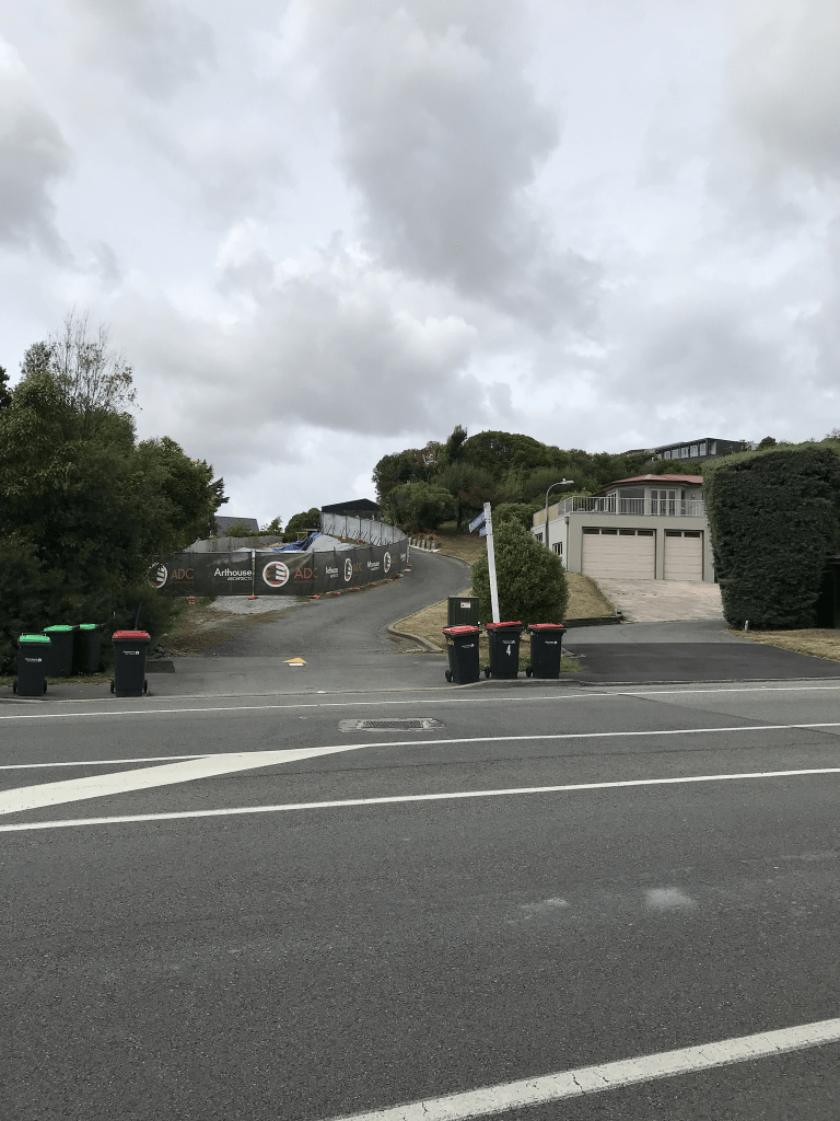
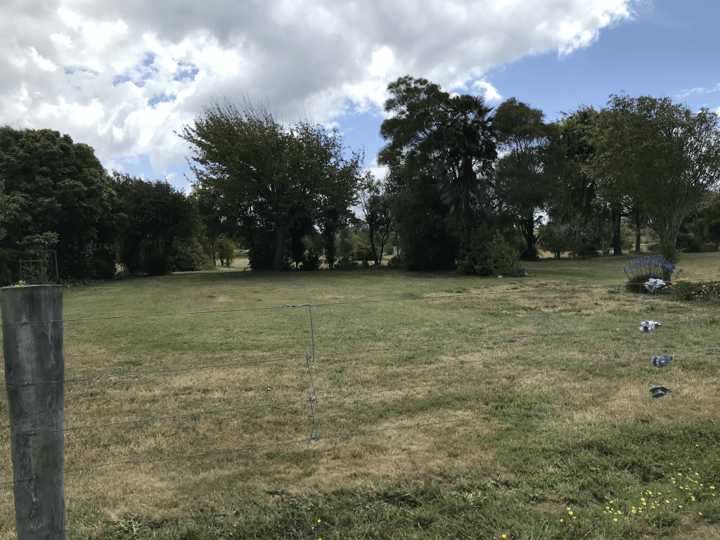
Only three houses on this tiny street which were built in 1990 but looks like more houses are being built. I didn’t actually walk it as there wasn’t a footpath. The entrance is very close Cambrian Close and I just took the one photo for both streets.

Mervyn Drive in the suburb of Avondale, Christchurch

Mervyn Drive in Avondale – formerly Mervyn Street. Named after Mervyn John Horne (1924- 1983)Horne was secretary of the Christchurch Drainage Board 1970- 1983. The Christchurch Drainage Board owned an area of low-lying land in Avondale which they filled up with dredgings from the river so the land could be subdivided and built on. The Board named the streets formed there. Named on 21 November 1984. Mervyn Street first appears in street directories in 1987. Becomes Mervyn Drive in 1991. Information supplied in 2007 by Paul Baldwin, Christchurch City Council in an interview with Margaret Harper.

A reasonable amount of information from the library website. The few houses that are left on this street were mostly built in the 1980s and 1990s. At least 75% of the houses have been demolished on this street and the land is in the red zone. When I was walking along I came to a park called Avondale Park and I thought to myself that it would be a great place to hide a cache. I then realised that I have been to the park before to find a cache that is hidden here.

Ogilvie Place in the suburb of Avondale Red Zone, Christchurch

Ogilvie Place in Avondale red zone – Named after Gavin Ogilvie (1930?- 1982). Ogilvie was a senior engineer with the Christchurch Drainage Board before forming Davis Ogilvie & Partners in 1960. The Christchurch Drainage Board owned an area of low-lying land in Avondale which they filled up with dredgings from the river so the land could be subdivided and built on. The Board named the streets formed there and former board and staff members of the Drainage Board were among those honoured in the naming. At the time of naming of the streets it was intended to have 11 streets and cul-de sacs in the new subdivision. Named on 21 November 1984. First appears in street directories in 1987. Information supplied in 2007 by Paul Baldwin, Christchurch City Council, in an interview with Margaret Harper.

A reasonable amount of information from the library website. With the description for many of the streets in this area of low lying and filled with dredgings from the river no wonder they are now in the red zone.

Going by street view from before the earthquakes it looked like it was a pleasant street with fairly big houses. As a side note the author J M Barrie used the name Gavin Ogilvie when he first started writing.

Hulverstone Drive in the suburb of Avondale Red Zone, Christchurch

Hulverstone Dr in Avondale red zone – Named after Hulverstone on the Isle of Wight. In a subdivision between the Avon River, west of the Bower Bridge and the northern end of the Avondale Golf Course of a 50 acre farm formerly belonging to Stewart Clendinning Hampton (1908-1993). Developed from 1969 by Merrit-Beazley Homes Ltd. All the streets are named after places on the Isle of Wight. Named on 16 June 1975. The legal process for stopping Hulverstone Drive was completed by August 1999. The physical stopping took place in February 2000 in conjunction with the construction of the bridge.

A reasonable amount of information from the library website. Originally the street ran from Avondale Rd to Wainoni Rd without a break but it was then split in half by a bridge. The area surrounding the bridge is called Cedarwood Reserve. When walking it yesterday I didn’t realise that it is a reserve as the entire street is in the red zone. Not many mentions on Papers Past apart from a few ads in 1977 for selling houses. In 1976 there was a Housing Corp subsidy of $59,700 for a rental housing project for the aged.

Looking at street view from before the earthquakes it looks like it was a pleasant street with some nice houses. The houses were only on one side of the street as the river was on the other side. There was a walkway that ran beside the river. Street view after the earthquakes and the road was a mess. The bridge still has traffic going over it but walking this street there is a walkway that goes under the bridge. I am sure that the bridge is safe

Chardale Street in the suburb of Avondale, Christchurch

Chardale St in Avondale – First appears in street directories in 1987.

A tiny amount of information from the library website and I couldn’t find out how it got the name. Couldn’t find anyone with it as a surname. I also couldn’t find it as a place name but it looks like it should be a place name. About half of the remaining houses were built in 1990s and the rest are rebuilds. One of the rebuilt houses has had the land raised so it is above the road and the other houses. Only houses on one side of the street and the other side is in the red zone. Look like a tiny community garden here.

Gertrude Place in the suburb of Avondale Red Zone, Christchurch

Gertrude Place in Avondale red zone – Named after Gertrude Eva Webb (1911- 1991). Gertrude Webb worked for the Christchurch Drainage Board for many years as a cleaner, and the street was named after her to show the affection she was held in by her employers. The Christchurch Drainage Board owned an area of low lying land in Avondale which they filled up with dredgings from the river so the land could be subdivided and built on. The Board named the streets formed there and former board and staff members of the Drainage Board were among those honoured in the naming of streets. At the time of naming it was intended to have 11 streets and cul-de sacs in the new subdivision. Named on 21 November 1984. First appears in street directories in 1987. Information supplied in 2007 by Paul Baldwin, Christchurch City Council, in an interview with Margaret Harper.

A reasonable amount of information from the library website. There are no longer any houses here. There is a walkway from Scoular Place to this street and it was in better condition than the footpaths to walk on.

Scoular Place in the suburb of Avondale Red Zone, Christchurch

Scoular Place in the Avondale red zone – Named after Peter Gray Scoular (1924-1983). Scoular was chief engineer of the Christchurch City Council during the 1970s through to 1982. The Christchurch Drainage Board owned an area of low-lying land in Avondale which they filled up with dredgings from the river so the land could be subdivided and built on. The Board named the streets formed there and former board and staff members of the Drainage Board were among those honoured in the naming. At the time of naming of the streets it was intended to have 11 streets and cul-de-sacs in the new subdivision. Named on 21 November 1984. First appears in street directories in 1987. Information supplied in 2007 by Paul Baldwin, Christchurch City Council in an interview with Margaret Harper.

A reasonable amount of information from the library website. I googled Peter Scoular as his name was familiar. One entry I found was about his daughter Robin graduating in 1976 with a bachelor of engineering degree. She was described as the only girl graduating with this degree. I doublechecked the year books from High School and Robin was a year ahead of me which is why the name was familiar.

No longer any houses here and the Avondale Community Garden is on the corner of Mervyn Drive and Scoular Place. There is a walkway that takes you to Gertrude Place.

Waddell Lane in the suburb of Avondale, Christchurch

Waddell Lane in Avondale – Named after Leslie Arthur William Waddell (1903- 1982). Waddell, a contractor, undertook work for the Christchurch Drainage Board, especially to do with sewers. The Christchurch Drainage Board owned an area of low-lying land in Avondale which they filled up with dredgings from the river so the land could be subdivided and built on. The Board named the streets formed there and former board and staff members of the Drainage Board were among those honoured in the naming. At the time of naming of the streets it was intended to have 11 streets and cul-de-sacs in the new subdivision. Named on 21 November 1984. First appears in street directories in 1987. Information supplied in 2007 by Paul Baldwin, Christchurch City Council, in an interview with Margaret Harper.

A reasonable amount of information for a tiny street. Most houses here were built in 1980s and I only walked a tiny part of the lane. The footpath was only about 20 to 25 metres long and in poor condition.

Hunt Lane in the suburb of Avondale, Christchurch

Hunt Lane in Avondale – Named after Hugh Peter Hunt. Hunt was chief engineer with the Christchurch Drainage Board 1981- 1989. The Christchurch Drainage Board owned an area of low-lying land in Avondale which they filled up with dredgings from the river so the land could be subdivided and built on. The Board named the streets formed there and former board and staff members of the Drainage Board were among those honoured in the naming. At the time of naming of the streets it was intended to have 11 streets and cul-de-sacs in the new subdivision. Named on 21 November 1984. First appears in street directories in 1987. Information supplied in 2007 by Paul Baldwin, Christchurch City Council in an interview with Margaret Harper.

A reasonable amount of information from the library website for such a tiny street. There were more houses here than I expected as it only looks like a driveway to a couple of houses but there are actually 8 houses here all built in the 1990s. It did have a tiny footpath that went for a short distance into the street. Still felt like a private driveway.