Venerable Tce in Yaldhurst and nothing on library website. The name venerable is a term used in the wine industry. Most houses built in 2010 and again immaculate lawns and hardly any gardens or colour. There wasn’t a footpath on the part bordered by Broomfield Common and I was forced to walk on the road. The other half had a footpath on one side only. No photos and the street did nothing for me but being close to green space for walking was one good point.
Little Oaks Drive in the suburb of Yaldhurst, Christchurch
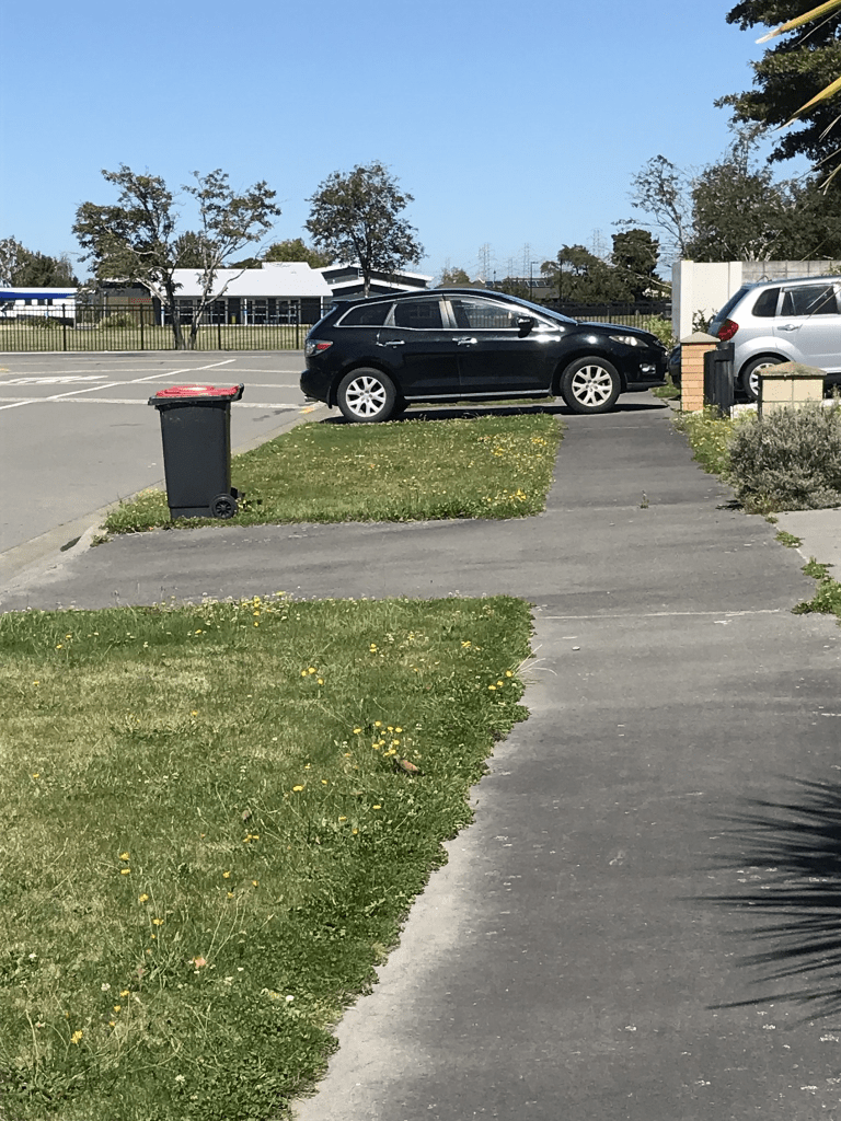
Little Oaks Drive in Yaldhurst and nothing on library website. My best guess for the name is that there had been oak trees in the area or there is a connection to the wine industry. Wine barrels are usually made from oak. None of the houses stood out for me and part of the street had footpaths on both sides of the street but the part that was bordered by Broomfield Park and Little Oak Reserve had no footpaths and I had to walk on the road. Plenty of parking on the street so why were there so many cars parked blocking the footpath. The only good thing about this street was it was close to a couple of parks so you could have a decent walk.
Mimosa Lane in the suburb of Yaldhurst, Christchurch
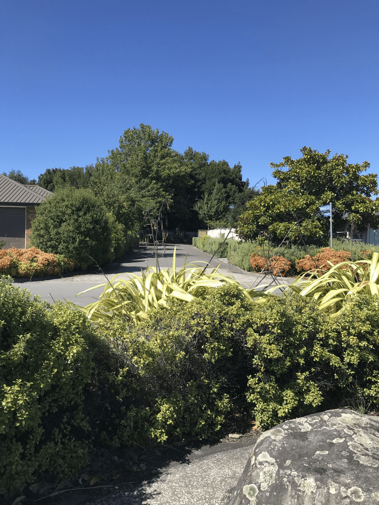
Mimosa Lane in Yaldhurst and nothing on library website. I suspect that this street would have been named after the cocktail mimosa rather than the flower. The cocktail is made with champagne.
I didn’t walk this tiny street as there wasn’t a footpath and it just looked like a private driveway to a couple of houses. I was surprised to realise that there are 9 houses here.
Millesimes Way in the suburb of Yaldhurst, Christchurch
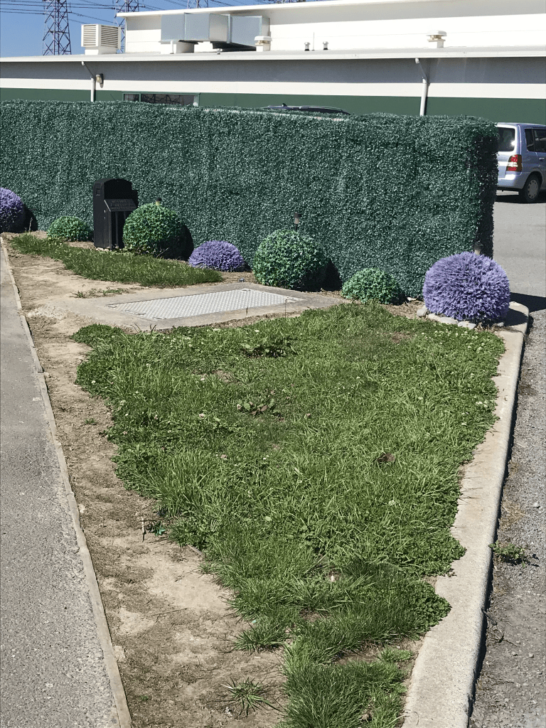
Millesimes Way in Yaldhurst – Named after a type of Delamain cognac. Continues the theme of the Delamain family used in the first stage of the Delamain subdivision. Named in 2008.
A small amount of information from the library website. Most houses built in 2000 and 2010. Footpath on only one side of the street. Nothing stood out for me on this street so no photos. A couple of houses almost came under toilet block style but not really ugly enough to tempt me to take a photo. Mostly immaculate lawns with hardly any gardens or colour.
Charente Way in the suburb of Yaldhurst, Christchurch
Charente Way in Yaldhurst and nothing on library website. Found a plaque in a reserve about F W Delamain and it gives details about some of the local streets. Charente Way is named after the rolling countryside where James Delamain settled to start his family and business. Did a bit of googling and Charente is a department in France created in the French Revolution and named after the Charente River. Famous for salt and cognac.
Most of the houses here were built in 2010 and none of the houses stood out for me. There is an entrance to Canterbury Swim School on this street. Footpath on only one side of the street. What did stand out for me was a garden full of artificial plants including a wee hedge. The artificial bushes had solar lights in the middle of them and I seriously want to go back in night time to see what it looks like. Looked weird enough in daylight.
Champagne Avenue in the suburb of Yaldhurst, Christchurch
Champagne Ave in Yaldhurst – Named after champagne, a sparkling wine. Continues the theme of the Delamain family used in the first stage of the Delamain subdivision. Named in 2008.
A small amount of information from the library website. I walked this street on Friday and there is a reserve here which I want to go back to and explore. It was too hot on Friday to extend my walk. Nothing stood out for me here. Most houses built in 2010 and 2013 with brand new houses being built at one end of the street. Modern houses with mostly immaculate lawns. There wasn’t even a very ugly house but what it did have which is unusual for a modern street is a footpath on both sides of the street. No photos
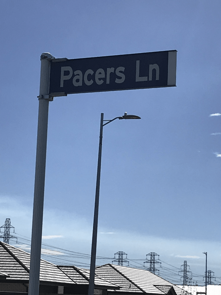
Pacers Lane in the suburb of Yaldhurst, Christchurch
Pacers Lane in Yaldhurst and it too new to be on library website. The name is likely to be because the Delamain family owned racehorses. I didn’t actually walk this tiny street as it was full of trucks as houses are still being built here. About 3 or 4 houses are completed but I am not sure if anyone is living in them yet.
Division Street in the suburb of Riccarton, Christchurch
Division St in Riccarton – Named because it marked the boundary between the jurisdictions of the Riccarton Road Board and the Selwyn County Council. “The division road” is first mentioned in the Star in 1877 when the Avon Road Board discussed taking it over as a public road. First appears in street directories in 1904.
A small amount of information from the library website. The street was known by both names of Division Road and Division Street until at least the 1930s.
Lots of information on Papers Past. In 1881 and 1906 there were sections for sale and more sections available in 1910 and these ones were known as Robinson’s subdivision. From 1914 onwards there were complaints about the state of the bridge across the creek and in 1926 it was repaired. In 1916 there were complaints about the herding of cattle to the Addington Saleyards but other residents didn’t think that it was an issue. 1928 a resident was given a permit to keep a pig. It is hard to imagine these days that this area was considered to be a rural area. Residents in 1936 requested that the road be tarsealed. In 1951 there was an obituary for Charles Buckett a noted gymnast and athlete. He also started Bucketts Gymnasium. He lived on this street. In 1956 Beaths opened a shop on corner of Division St and Riccarton Rd. In 1957 the subdivision at the corner of Division St and Riccarton Rd was zoned as commercial sections.
The decades of 1960s and 1970s was mostly about Riccarton Mall. In 1963 the Shopping Centre plan was before the appeal board. In 1965 there was a description of the planned new mall. In 1970 it was planned to extend the mall by demolishing houses in Division St. In 1973 a resident objected to the mall expansion.
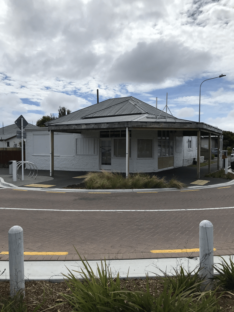
Division St used to cut through the Mall and shops were mostly one side and car parking on the other side. There was one lonely occupied house in the middle of the car park and they were refusing to sell their house. I worked in the area in the 1990s and can very clearly remember this house but can’t remember if the owner was male or female. The Mall owners must have been so happy when they eventually died and they could get their hands on the property. Division St these days is split into two by the Mall with a short stretch from Riccarton Rd. Then it is the Mall before you come to the rest of the street. A few older houses from 1910s and 1920s near the Mall but they aren’t outstanding looking places. The rest of the street is mostly flats built in 1970s and 1990s. Lots of cars parked here as staff from the Mall use this street for parking. There is now a cycleway at the corner of Division St and Elizabeth St and this cuts the street in half. There also used to be a dairy on this corner but it is closed. I wouldn’t like to live here. The fake homeless man who begs for money at the Mall lives in one of the flats on this street.
I actually walked this street a couple of weeks ago when I was geocaching.
Holbrook Way in the suburb of Westmorland, Christchurch
Holbrook Way in Westmorland – Named after Holbrook in Derbyshire, England. Named to continue the theme in the subdivision of naming streets after places in historic Westmorland in England, since 1974 part of Cumbria. Named in 2005.
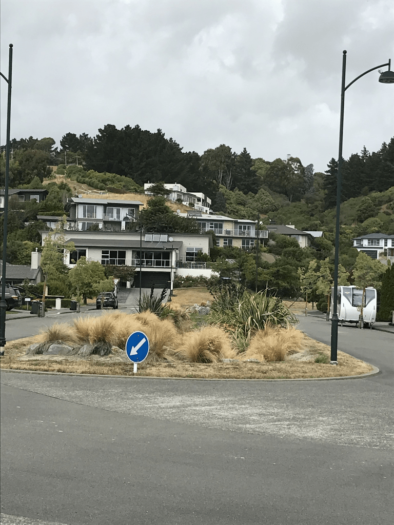
A small amount of information from the library website and nothing that I can add to it. Most houses here were built in the 1990s and it looked like a pleasant street. Footpath on both sides of the street which is always a plus. There are two entrances to the walkway from this street. I had walked the track and came out at the top end of this street. There is a big drain in the middle of the street at this end. Cashmere Stream runs behind part of the street.
Hamish Place in the suburb of Westmorland, Christchurch
Hamish Place in Westmorland – First appears in street directories in 1993. A tiny amount of information from the library website and it is obviously named after a person but I couldn’t find out who they were. Because it is close to Francis Reserve I attempted to research the Francis family. Spent quite a bit of time on Papers Past. The brothers W J and B J Francis both owned land in the area. B G Francis was farming the property that originally belonged to Cracroft Wilson. The brothers in 1973 purchased Worsley Spur from a Mr Flemming and they said that it was originally from the estate of their father who had died 14 years earlier. Nothing on ancestry website for them and I couldn’t find out what W J or B G stood for.
This was a tiny street with a footpath on only one side of it and nothing stood out for me. The houses were all built in 1990s. If you walk the track behind the houses you get a good view of their backyards.
