McCormacks Bay Road in Mt Pleasant – Named because it runs through McCormacks Bay which, in turn, is named after William McCormack (1822-1868). McCormack arrived on 17 December 1850 on the Sir George Seymour. First appears in street directories in 1950.
A small amount of information from the library website. The earliest entry on Papers Past was in 1935 when a man was charged with dangerous driving after an accident. In November 1938 it is a described as a new road. In 1950 the foundation stone for the Mt Pleasant War Memorial Community Centre was laid. The centre is being built on reclaimed land. Note I had a good look at the building today hoping to find a plaque but nothing. The original building has been demolished and there is a new building but I was still hoping for a plaque. In 1958 there was a letter to the editor asking when the long promised footpaths would be formed. In 1964 a 3 ton rock fell from the steep slope above a cave by the corner of the Christchurch – Sumner Rd and McCormacks Bay Rd narrowly missing a young girl. Local developers still went ahead and built houses on the hill here. None survived the earthquakes. In 1967 a contracting firm Ryan Brothers wanted to turn McCormacks Bay into an aquatic playground and picnic area. They didn’t think that it would cause a parking issue on McCormacks Bay Rd. This obviously didn’t happen. Can you imagine McCormacks Bay with man made sandy beaches. In 1973 there were a couple of letters to the editor suggesting that the council fill in the entire bay and build houses there. Another project that never happened.
William McCormack had a fatal accident in 1868 and he was only 46 years old. He was riding home from Christchurch when his horse bolted and threw William off. Apparently the horse had been spooked by a boat that was lying in the avenue near William’s home.
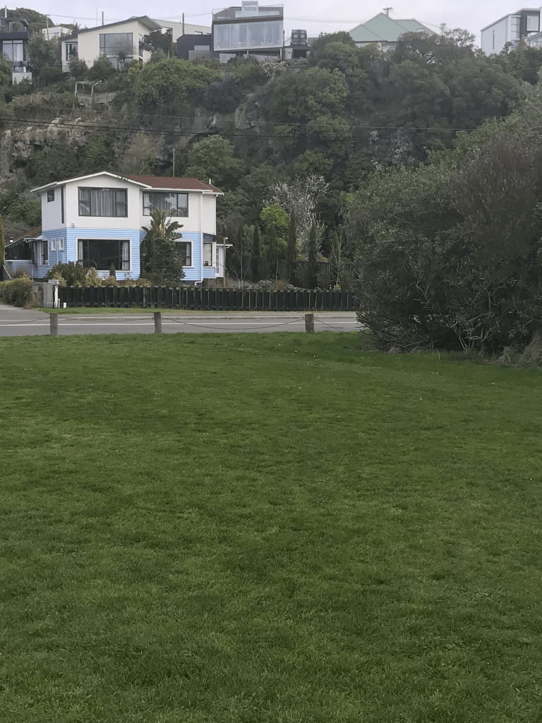
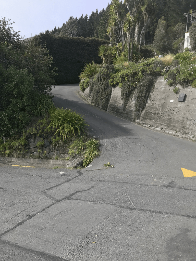
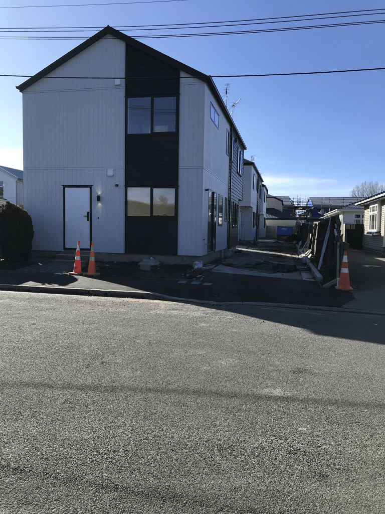
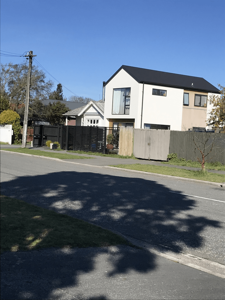
Nearly half the houses here are rebuilds after the earthquakes. There is one ugly house behind an old brick wall so I checked out street view and the original house was gorgeous. The original house was brick so it could have unrepairable after the earthquakes but the replacement house is so ugly. What I thought was a 1920s cottage was actually built in 1940. There is a house from 1920 but it is hard to see from the road. The houses are only on one side of the road as McCormacks Bay Reserve is on the other side of the road. There is a section at the Redcliffs end of the road where the houses haven’t been rebuilt after the earthquakes. The Community Centre and a kindergarten are on the reserve side of the road plus there is a community garden here. I walked along the street and returned to my car by walking on a path through the reserve. It was a pleasant through the reserve and I saw a kingfisher. The kingfisher flew away before I could get a photo.