Mary Quinn Ave in Halswell and too new to be on the library website. Information from the council website – Mary Quinn came from London as a young girl with her family in the 1870’s. Mary was a very pioneering woman who due to the death of her parents at a young age carried on farming in the Halswell area as a single woman for many years.
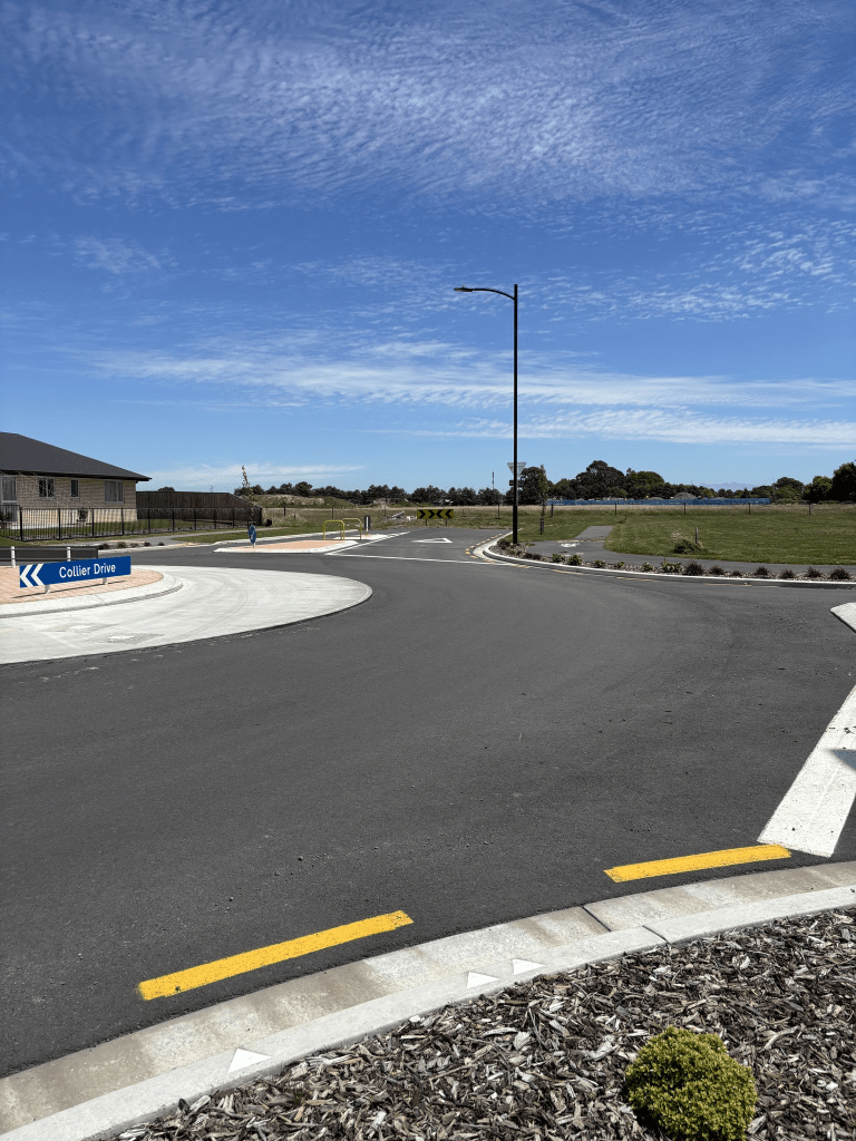
The wording on the council website is slightly strange. I searched both Papers Past and Ancestry and couldn’t find out anything about this woman. The street is only a few metres long and I remember walking here last year and it hasn’t changed. No houses here yet and locals tend to just use it as a car park. There is a roundabout here separating it from Collier Drive and I don’t recall the roundabout being here last year but I can’t find the photo that I thought I had taken last year.