Nabob Lane in the suburb of Cracroft, Christchurch

Nabob Lane – A nabob was a governor in India during the Mogul empire. Another meaning is a wealthy man, especially one who has made his fortune in the Orient. Sir John Cracroft-Wilson (1808-1881) was often called “Nabob” Wilson or “the Nabob”. Named to continue the tradition of using Indian placenames as street names in the locality. The last 30 sections of the Cracroft family estate, at 60 Worsleys Road, were auctioned on 8 December 2007. Named in 2004.

The library website had a reasonable amount of information. This tiny private lane runs off Worsley Rd and the area is called Cracroft. I wasn’t actually able to walk this street as there wasn’t a footpath and it was very clearly a private lane. Looked like one or maybe two large houses at the end of the lane.I also didn’t manage any photos.

Kotare Street in the suburb of Fendalton, Christchurch

Kotare Street – Pukako Terrace was incorporated into Kotare Street. An offer by Mr J. Deans to construct a road through the Riccarton Road Board’s property to connect Clyde Road with Puriri Street was considered by the Board in 1909. The Riccarton Road Board office was in Clyde Road. Kotare Street is described as a “new” street in The Press in 1927 when the “5th part of the eighth subdivision of the Riccarton Estate” is advertised for sale by auction. First appears in street directories in 1929 The section from Clyde Road to Puriri Street was named Pukako Terrace 1929-1972 when it became part of Kotare Street.

That is a reasonable amount of information from the library website but it doesn’t explain the meaning of Kotare which is the Maori word for kingfisher. This street had a mixture of new and old houses. I wish that I could have managed more photos but the street was busy on the day I walked it. Many lovely old houses and most of the rebuilds were huge.

Ngahere Street in the suburb of Fendalton/ Riccarton, Christchurch

Ngahere Street – Ngahere means: bush or forest. Named to continue to commemorate the Deans’ efforts to conserve the native forest trees in Riccarton. The naming was also designed to showcase the Maori names of trees. First appears in street directories in 1950.

A reasonable of information from the library website. This street is a small cul de sac that leads into Riccarton Bush. One house is an obvious rebuilt and it comes under what I call toilet block style and it probably is worth a fortune. A couple of older houses that looked lovely.A pleasant wee street and to have Riccarton Bush so close would be lovely. Note this is a confused wee street and different websites have it in different suburbs. Personally I agree with the library website and think that it should be in Riccarton especially being so close to Riccarton Bush.

Montana Avenue in the suburb of Ilam, Christchurch

Montana Ave – First mentioned in The Press in 1929. First appears in street directories in 1946.

Not much information from the library website. I searched Papers Past and couldn’t find much. The only information I could find was that the road was going to have roadworks in 1929. It is possibly named after the US state Montana which in turn is named from the Spanish word meaning mountain.
This street in Ilam is next to the University and it had some nice houses but the only photos I got were of an interesting Art Deco looking house.

Rotherham Street in the suburb of Riccarton, Christchurch

Rotherham Street in Riccarton and this street isn’t on the library website. I searched Papers Past and I found entries for this street as far back as 1906 and at that stage it sounds like there were houses surrounded by paddocks. In the 1930s and later the residents were complaining about the lack of street lighting and no proper footpaths. There was at least one stables as there were lots of ads about selling horses.

It is possibly named after a town in South Yorkshire. One half of this street runs through the middle of the Mall and the other half has houses which are mostly flats. My photos are of a building that is fenced off. I remember when this building was brand new and was the bank ANZ. I do have a newspaper clipping somewhere about the opening of the ANZ in this building.The Mall was a lot smaller those days and hadn’t expanded as far as Rotherham St. Where the Hoyts and the rest of the shops are now situated there was an outdoor car park with an old house in the middle of it. The house owner refused to be moved and refused all offers to be bought out. The Mall owners had to wait until the house owner died. I can’t remember if the house owner was a male or female. It was possible to park on this street those days.

Milns Road in the suburb of Halswell, Christchurch

Milns Road – Named after John Miln (1827-1900). Miln played an important role in the development of Canterbury, including serving on the Canterbury Provincial Council. He built his home, Te Repo, at 265 Halswell Road where it is now the White House Black Restaurant (2015). Named in 2000.

A bit of information from the library website. This street is still being developed and at this stage there is mostly only houses on one side of the street. Open space on the other side of the street and there is a mixture of paddocks with cows and reserves for walking. There is a new subdivision being built and I am not sure if the streets there have names yet. The newer houses were at the Halswell Rd end.

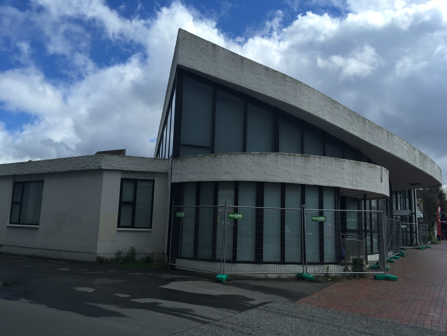
Note the White House Black Restaurant is no longer there and there is now an Asian restaurant there. This building and much of the land used to belong to my doctor who I believe has now retired. His son who took over moved to Wanaka just before I returned home from the UK. The restaurant is actually on Halswell Rd.

Hyde Place in the suburb of Halswell, Christchurch

Hyde Place – Named after the William Hyde. The William Hyde was an immigrant ship which arrived in Lyttelton on 5 January 1852. Continues the theme of previous stages in the Halswell Park subdivision and names streets after prominent citizens and identities from early Halswell. Named in 2005.

That was more interesting information from the library website that what I was expecting. Another street that backs onto Halswell Domain. Modern houses but I only took photos of a weathervane and a decoration on someone’s fence.

Parklea Avenue in the suburb of Halswell, Christchurch

Parklea Ave – Named because of the proximity of the subdivision to parks and reserves. Named in 2005

Not much information from the library website. This street backs on to Halswell Domain and there is an entrance to the Domain from this street. Modern houses built from a mixture of bricks and weatherboard looking cladding. Most gardens were immaculate with lawns but not many flowers and other plants. A few houses had columns at their entrances. Personally it was a boring street with a boring name.

Dalgety Street in the suburb of Riccarton, Christchurch

Dalgety Street -First appears in street directories in 1957.

Not much information from the library website. A small street that went from Princess St to Blenheim Rd. No photos here and again it is a business area. Two companies tha I recall being on this street were Crafter Coffee Company and Snowmania. The entrance to Skope’s staff car park was on this street. It must have been smoko time when I was walking here which is the main reason for no photos. I am wondering if the street is named after the Dalgety family or company as there was a branch in Christchurch.

Sasaram Lane in the suburb of Cashmere, Christchurch

Sasaram Lane – Named after Sasaram, a town of British India, in the Shahabad district of Bengal. One of the streets in Cashmere given the name of a place in India. Formed post-1997.

A wee bit of information from the library website. I checked Gordon Ogilvie’s book but nothing in his book about this street. Without googling I am positive that the reason for the name would be John Cracroft Wilson because of his history with India. He also owned a huge amount of land on the hills.
This was a tiny street with large modern houses. It is highly likely that most of the houses are rebuilds after the earthquakes. At the end of the road there was a wee track that took me to Delhi Place. My photo is of a house that was on the corner of Sasaram Lane and Bengal Drive. I would like to have got photos of the other houses but it wasn’t possible.