Kearneys Road in the suburb of Linwood, Christchurch

Kearneys Rd – First mentioned in The Press in 1906. First appears in street directories in 1913. A tiny amount of information from the library website. Nothing on Papers Past to say how this street got it’s name. Found an article from 1902 where it said that the road was going to be metalled. There were ads or articles mentioning that Kearneys Rd was in an area called Sandilands. The street used to be Kearney’s Rd which suggest it was named after a person. Eventually found Michael Kearney who died 12/11/1881 and after his death there were 4 properties sold off. These properties were in the Linwood and Phillipstown area.
From the Ancestry website I found that he lived at a place called Sandhills and was a farmer. It is highly likely that this street was named after Michael Kearney but couldn’t find any information to back this up.

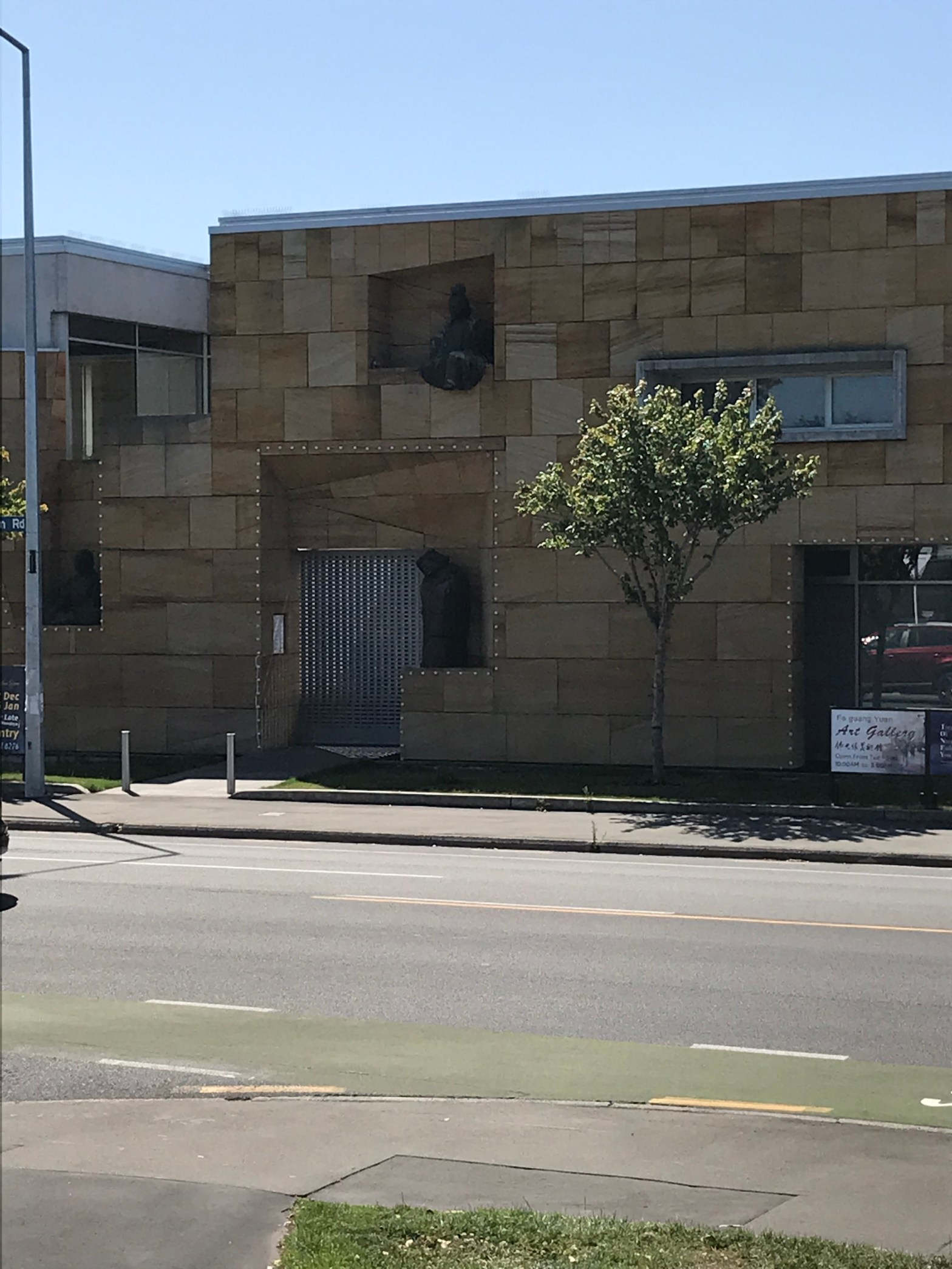
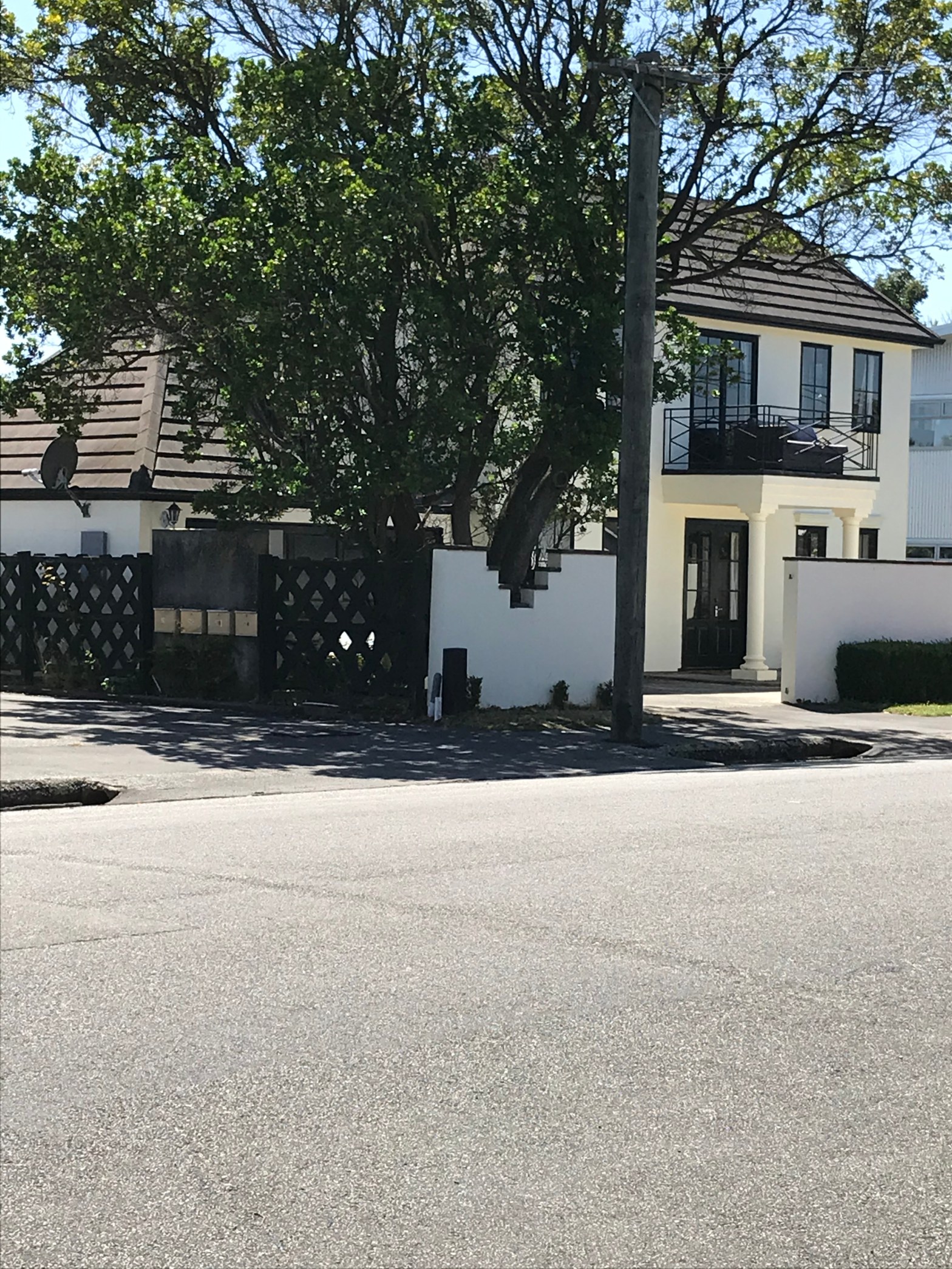
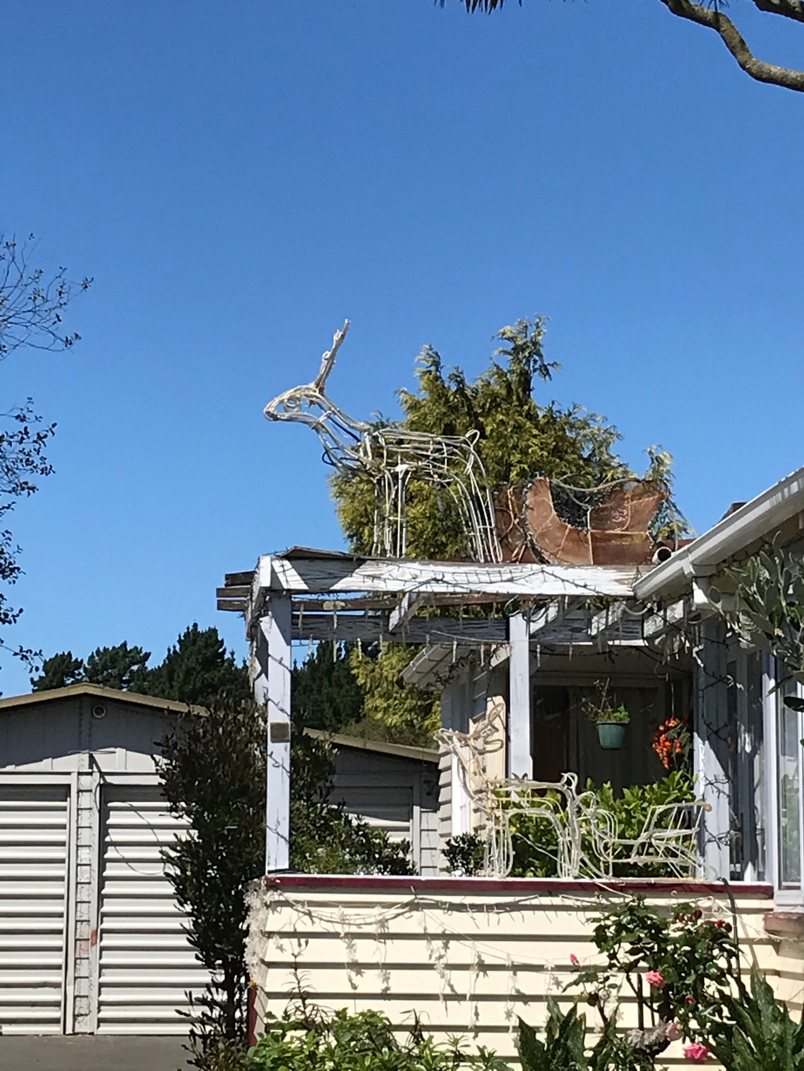
This street runs from Pages Rd to Ruru Rd and mostly older houses here. There is a park called Linfield Park on the street. There were several houses in this area which still had Christmas decorations on display. There was also a bowling club here with a flash entrance. Yes I was geocaching in this area.

McHaffies Place in the suburb of Wainoni, Christchurch

McHaffies Place – May have been named after Gilbert Hamilton McHaffie (1861?- 1905). McHaffie was a merchant of Flemington (later Aranui). He was a member, and also chairman, of the Heathcote Road Board 1894-1896, 1897-1899, 1901, 1902. He was on the Christchurch Domain Board for some time. He lived at Overton, New Brighton. First appears in street directories in 1983.

A small amount of information from the library website. It is highly likely that the street was named after Gilbert McHaffie or his family. Gilbert was born in Scotland and gave to NZ in 1880 via Australia. In Papers Past there was a notice dated 1908 about a marquee on McHaffies section near Tram Shelter shed Breezes Rd. This was for voting on polling day. Gilbert McHaffie died in 1905 and is buried at Linwood cemetery. He was aged 44 and described as a merchant and he died of diabetes. His widow Edith moved to the North Island at some stage. Gilbert was the member of many boards including Road Board, Hospital Board, Trotthing Assoc and Acclimatisation Society. He also bred a successful racehorse called Ribbonwood.
A small street with a park at the end of it. Most houses were built in the 1980s and there was one house that looked like an older house but it was also built in the 1980s in an older style. The park has several significant Manna Gum trees.

Riccarton Road in the suburb of Riccarton, Christchurch

Riccarton Rd –formerly Harewood Road – Named to continue the theme of naming Riccarton streets after places in Ayrshire, Scotland, from whence the Deans family originated. First mentioned in the Lyttelton Times in 1852.

A small amount of information from the library website. There is nothing on Papers Past about the naming of this road. Harewood Rd is mentioned from 1851 and Riccarton Rd from 1852. In 1852 there were sections for sales from the estate of William Deans. William Deans drowned in 1851 and I suspect that this is why the road got it’s name plus the estate was called Riccarton. His brother John died in 1854 and John’s widow did a lot to keep their memory alive.
Those days there were residential houses whereas these days the street is mostly businesses.At Upper Riccarton there is Bush Inn shopping centre. As you walk towards the city there are lots of motels. There also seems to be lots of medical businesses.There used to be a lovely historic building called Antonio Hall but sadly it has been sadly neglected and never repaired after the earthquakes. Also someone set it on fire. About halfway down there is Westfield Mall which used to be called Riccarton Mall. There are roadworks here and the road is a mess. Eventually you come to a church that has no name on it so I had to google it. It was called St James the Great and has been deconsecrated since the earthquakes. Almost opposite there is Fo Guang Shan Buddhist Temple. Then you come to the railway lines. A couple of cafes and a motel then an empty section where my favourite bookshop from before the earthquakes used to be. Then you reach Riccarton Ave. It is a long street to walk.

Rudleigh Avenue in the suburb of Upper Riccarton, Christchurch

Rudleigh Avenue in Upper Riccarton and this street isn’t on the library website.
I am surprised that it isn’t on the library website as it is an older street. QV website has houses built mostly in the 1920s and 1930s with a few from 1980s.
In Papers Past there is mention of this street as early as 1927 when council were looking at sewers and electric street lights. In 1930 the council were looking at fixing footpaths and erecting a street sign. In the 1930s there were 15 sections up for sale and they were aimed at staff at the Wigram Aerodrome as there had been a recent increase of staff there.
By 1942 there is mention of State Houses and fire protection for them. There had been a recent fire in a state house on a neighbouring street..
This street had mostly older wooden villas and some were lovely. This was a pleasant street and I couldn’t see that there large numbers of students living here.
I couldn’t find out how this street got the name Rudleigh. It sounds like a person’s surname but couldn’t find anyone in Christchurch with that name. It also isn’t a place name anywhere. Did find a street in Bristrol UK called Rudgleigh St.

Newnham Terrace in the suburb of Upper Riccarton, Christchurch

Newnham Terrace – Formerly Allan Street. Named after Allan Scott. Re-named Newnham Terrace. Named after Thomas Olivant Newnham (1865?- 1942). Allan (spelt Alan) Street is mentioned in an advertisement in the Press in 1910. The article in The Press, 29 September 1932, says Allan Scott was “a very old resident”. First appears in street directories in 1914. It was in a dog-leg shape and included what is now Hanrahan Street. Re-named Fuller Avenue in 1932 by the Waimairi County Council but residents objected to this name. Councillor Walter said that Councillor Newnham “had been connected with the district for a long period, and it would be fitting if it were called Newnham Avenue”. Newnham Terrace was formally named in 1934. Newnham was the chairman of the Waimairi County Council 1927- 1928. He is listed living at 5 Newnham Terrace in 1934.

A reasonable amount of information from the library website. Couldn’t find any information about Allan Scott on Papers Past. In the September article of 1932 where the objections to the name change to this street was discussed Thomas Newnham was present at the meeting. There was a Fuller family living on this street and I would love to know how they felt about the Fuller name being rejected. There was a death notice for Thomas Newnham in August 1942. In the 1940s there was a poultry farm on this street and there was also mention of State Houses.

A mixture of new and old buildings and most were high density housing aimed at students. At the Riccarton Rd end there was the ANZ bank, a gym and a bottlestore. I would hate to live here even if I was a student as I suspect that it could get very noisy. A couple of the buildings looked like they were possibly social housing. I vaguely recall in my banking days that I had a client who loved renting to students in this area.

Hanrahan Street in the suburb of Upper Riccarton, Christchurch

Hanrahan Street – Part of Allan Street. Named after the Right Rev. Monsignor Thomas Hanrahan (1885?- 1963). Allan Street was in a dog-leg shape and included what is now Newnham Terrace. Allan Street is mentioned in The Press in 1910 (spelt Alan Street) and first appears in street directories in 1914. Hanrahan Street first appears in street directories in 1952. Hanrahan was initially based in a small cottage in Peer Street and went on to found St. Teresa’s Roman Catholic Church in Puriri Street. He was the first Roman Catholic parish priest in Riccarton from 1923.

A reasonable amount of information from the library website. I couldn’t find anything on Papers Past about this street and very little information about Thomas Hanrahan. He seemed to have a connection to a Hanrahan family in Ashburton and there is a Hanrahan street in Ashburton. He officiated at least one Hanrahan funeral in Ashburton when he was based in Riccarton. He died 26/08/1963 aged 78 and is buried in Bromley cemetery.

A pleasant street in Upper Riccarton close to the University. The street is narrowed in several places. Most houses were made of brick but there was one large wooden older looking house. I liked this house but between high fences and tall trees I couldn’t get a photo.I took a photo of a new building that looked interesting but didn’t really like. Couldn’t figure out the building material.

Kirkwood Avenue in the suburb of Upper Riccarton, Christchurch

Kirkwood Avenue – Formerly Carleton’s Road and Carleton Road. Named after John Carleton (1840- 1894), and his wife, Ann, of Ilam Farm. Re-named Kirkwood Avenue. Named after Archibald McKirdy Kirkwood (1863?-1935). Carleton’s Road is shown on an 1864 map. The Carletons lived in a two-storey cob cottage and Carleton Road was originally the road into their property off Clyde Road. It was later connected through to Ilam Road and re-named Kirkwood Avenue by the Waimairi County Council on 8 February 1933. Kirkwood is a resident. Hannah Carleton (1878?-1969) married Archibald Kirkwood in 1908.

A reasonable amount of information from the library website.I didn’t check Ancestry website but Papers Past gave me a lot of information.
The council held a special meeting in 1932 to discuss duplication of street names that were a source of annoyance to Post Authority and the Fire Brigade. Also doctors were going to wrong addresses when called out on urgent calls, Carleton Ave was changed to Kirkwood Ave. Kirkwood family lived at Ilam Farm that was on Carleton Ave.
There was a Bullivant family who lived in Carleton House on Kirkwood Ave. In 1945 there were articles about the building of a school. Several sections were for sale in 1936 to 1938.
There was an article in 1945 about a body being found in a house on Kirkwood Ave and I shouldn’t be amused but the person’s name was Nora Body.

This street had a few houses but the Kirkwood School took up much of one side of the street and a few University buildings on the other side. One house near the Clyde Road end looked old and a pity it was a bit rundown as it would have been a lovely house if looked after. Near the Ilam Road end there was an Art Deco looking house.. Most of the houses were at the Ilam Road end. Looked like a nice street but all those school children would put me off plus the parking issues. No I don’t particularly like children especially en masse.

Homestead Lane in the suburb of Ilam, Christchurch

Homestead Lane isn’t on the library website and it is possibly a private road as it is within the University grounds. Yet there are other private roads on the library website. Obviously named after the Ilam Homestead a gorgeous Historic building on University land. The Ilam Homestead was built in 1856. Edited to say that I found different dates for the Ilam Homestead building. Their website says that the building was built in 1856 but I found another website (natlib) that said the 1856 building burned down in 1910 and the current building was built 1914.
Several student accommodation blocks are along this lane and they look new and modern. I am going to shock everyone by saying that I liked them. Yes, I liked a couple of modern buildings.

I found an article on Papers Past for 1910 about the fire which destroyed the building and it was called Ilam House those days and not Ilam Homestead. The website for Ilam Homestead is incorrect in promoting the current building as being built in 1856.

NZ Post deliver to this street so I would assume from this that it is a public street.

Mecca Place in the suburb of Linwood, Christchurch

Mecca Place in Linwood and nothing on the library website for this street. Houses were built in the 1970s and the footpath was on both sides of the street which only happens in older streets. Mostly summerhill stone houses except for one unusual wooden house. I wish that I could have got a photo of it. Most houses had obviously had earthquake repairs done and they looked OK but one house had cracks that were not repaired well. A couple of houses were under going repair work. Some lovely and interesting gardens here. A nice street. I couldn’t find any information on-line apart from real estate stuff. Developer could have been a Gene Pitney fan.