Copenhagen Place in Hoon Hay- Named in 1957. A tiny amount of information from the library website. I assume that the street has been named after Copenhagen in Denmark.
In 1957 the street name was approved for the new street. In 1960s there were sections for sale. The residents blamed the hill subdivisions for silting up the drains and causing flooding in 1977.
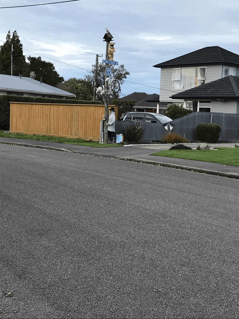
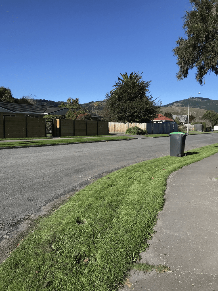
There are 16 houses here built between 1950 and 1980. The houses here weren’t really outstanding but I did like the street. Some of the gardens were nice but what I really liked was the interesting and fun decorations outside a house. Another house had lots of stone carvings in the garden and house.
Falsgrave St in Waltham – Probably named after Falsgrave in North Yorkshire. According to the minutes of the Sydenham Borough Council the formation and metalling of this street was completed by 1880. First mentioned in The Press in 1880 in a report of a meeting of the Sydenham Borough Council. First appears in street directories in 1887.
A small amount of information from the library website. There was a huge amount of information on Papers Past. In 1880 the street was described as a private street. In 1881 there was a petition for the forming of the street and then in 1899 the was a report from the Works Committee to say that the street had never been properly constructed or legally made a public road. From 1880s there was a coal depot on this street and there were a huge number ads for the depot. By the 1970s the coal depot site was leased by the Gas Company. The Gas Company building was probably demolished 1982 but I thought that this had happened a lot later than this.
Lots of birth and death notices. There were lots of entries in 1900 about the sanitary condition of the gravel pits and refuse heaps. There was a clay pit that mentioned as creating a stench. Coal dust from the coal depot created a nuisance for the residents. The railway crossing seemed to be have been the scene of many accidents including at least one death. Drainage issues were frequently a problem between stagnant water in Jacksons Creek and flooding in the street. The Tramway company had car sheds here and they were also known as tram sheds. Both canterburystories.nz and discoverywall.nz have photos of the tram sheds and the gasworks. The Christchurch Metropolitan Pipe Band had a new building opened here in 1974. Frequent entries about parking issues when then were games at Lancaster Park.
The street only has businesses here and some of the building are fairly new. I compared the current street view to street view from 2012.
Talfourd Place in Waltham – formerly Talfourd Street. Named after Sir Thomas Noon Talfourd (1795- 1854). Talfourd was a judge and dramatist. Named to continue the theme of “poets and writers” streets of Sydenham, Addington and Waltham. The streets were named by a committee of the Sydenham Borough Council in January 1880. The construction of Talfourd Street is mentioned in the Star in 1881. First appears in street directories in 1894. Becomes Talfourd Place in 1946.
A reasonable amount of information from the library website and nothing that I can add about the name. Several entries on Papers Past and in 1881 there was a request for the formation of the street. There were delays and in 1882 it still wasn’t formed. Lots of death notices. In 1892 there was a letter of complaint about the state of Jacksons Creek and that the area between Talfourd St and the railway was seething filth. In 1934 the council passed a resolution that exempted Talfould St from widening. In 1908 the residents complained about the Lancaster Park Windmill because of the noise. The street seemed to be known as both Talfould Street and Talfould Place after 1946. There were still houses and people living here in the 1950s and 1960s but from 1970s it was only businesses. There was an entrance to Lancaster Park from this street and there were frequently issues because of the street being so narrow.
It wasn’t possible to walk on the footpath here as the businesses here were using the footpath as extension of their workshops. At the end of the street there is entrance to the park.
Lismore St in Waltham – Formerly Brotherstone Street and Leicester Street. The streets were amalgamated into one street intersected by Wilsons Road and re-named Lismore Street. Named after Lismore, a Scottish island off the Argyll coast near Oban. Brotherstone Street is first mentioned in the Press in 1884. First appears in street
directories in 1892. Leicester Street was named in 1898 by Harman and Stevens, land and commission agents. First appears in street directories in 1900. [Sometimes it is spelt as Lester Street in newspapers and church register records.] The two were combined and renamed Lismore Street on 1 September 1948 when 120 streets were re-named.
A reasonable amount of information from the library website. A few entries in Papers Past. There was an entry from 1896 that mentioned Brotherstone street as being a right of way that needed to be fenced off to stop cattle from crossing Barbour St pathway. Brotherstone was possibly a surname but I couldn’t find anyone with that name in Christchurch. Brotherstone St ran between Barbour St and Wilsons Road. In 1922 Messrs Forest and Perkins offered a strip of land to widen the road and they also asked if the road would be recognised as a public road.
Leicester St was mentioned in 1898 as a new street and the residents in 1937 requested that the street be tar sealed. The rest of the entries were mostly birth and death notices. In 1948 the streets became one street and renamed. From 1950s onwards the entries were mostly concerned with businesses. Also several mentions of Lancaster Park as there was an entrance to the park from Leicester St / Lismore St.
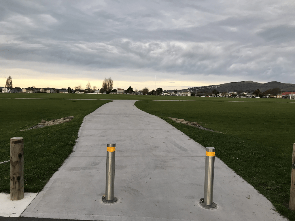
The part of Lismore St that runs from Wilsons Rd to Falsgrave St is businesses on one side and Lancaster Park on the other side. Obviously there is no longer a stadium at Lancaster Park as it was well and truly munted in the earthquakes. I was geocaching in the area and decided to walk a few streets at the same time.
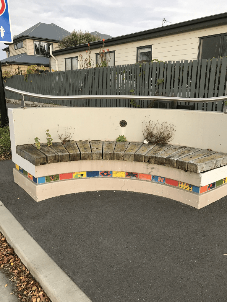
The other part of Lismore St that runs between Wilsons Rd and Barbour St still has houses plus the Samoan Methodist Church. Only 7 houses here and most were were built in 1980 but one was built in 1920. The older house seems to be connected to the church. There was a decorative seat at the entrance to the church but it has a bit of graffiti on it.
Grenville St in Waltham – Formerly John Street. Named after William John Wilson (1858?-1895). Re-named Beresford Street and later re-named Grenville Street. William John Wilson was the eldest son of William Barbour Wilson (1819-1897), nurseryman, businessman and local politician and his wife, Elizabeth. He was a gentleman of Sydenham. He died in his 38th year at his father’s house, the Grove. In a subdivision of Rural Section 48, land owned by William Wilson (1819-1897). John Street appears on an 1874/75 Deposit Plan. First appears in street directories in 1892. Re-named Beresford Street in 1909. Re-named Grenville Street on 1 September 1948 when 120
streets were re-named.
A reasonable amount of information from the library website. There wasn’t much information on Papers Past about William J Wilson apart from his death notice.
In 1888 there were sections available for sale. The rest of the entries were birth and death notices. Many of the births were at Mrs Creagh’s Nursing Home and it is possible that seriously ill people were also nursed at her nursing home as there was at least one death notice connected to the home. I couldn’t find any reason for the name change to Beresford St but this name was being used from about 1912 onwards. There was also a Beresford St in Brighton. The name change in 1948 would have been because of Beresford St in Brighton.
There wasn’t anything on Papers Past for why the Grenville name was used and the best that I could figure out was that it was named after George Grenville who was Prime Minister of Great Britain in the 1760s. He had a connection to Lord Cobham and Lord Cobham had a Lord Lyttelton connection.
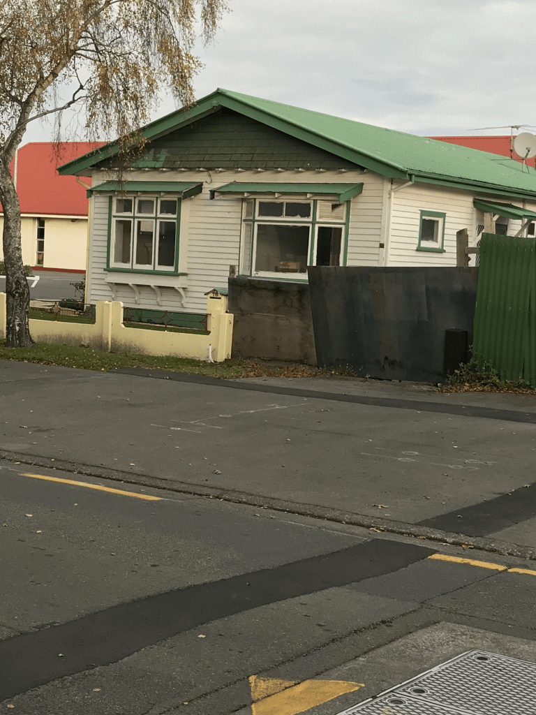
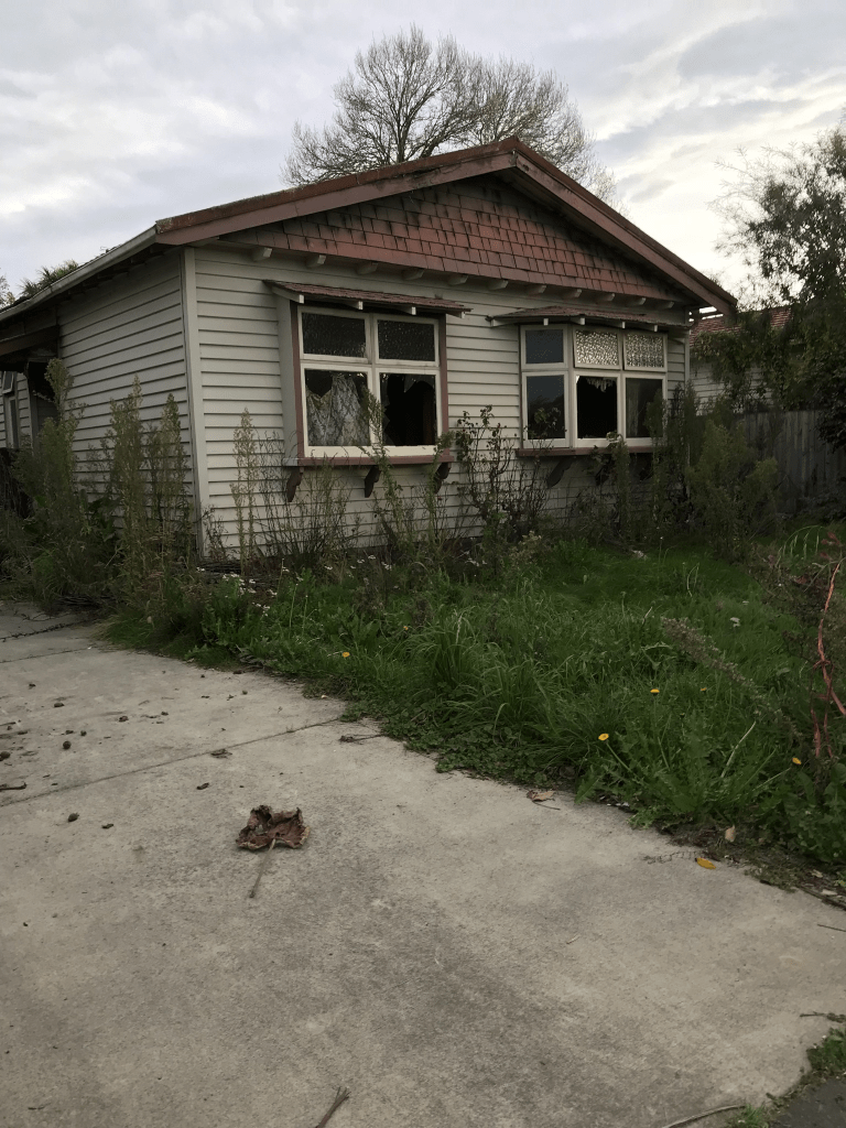
The houses date from 1915 to 2021 with most built in 1970s. There was supposed to be a house from 1880 but it seems to have been replaced by a modern building. I didn’t really like this street and many of the houses looked rundown. Some houses looked OK but the older houses looked very sad. There was one house from the 1920s that looked terrible. It had broken windows and the garden was very overgrown yet on street view from a year ago it was looking great.
Charles St in Waltham – Named after Charles James Wilson (1858?- 1898). Wilson was the second son of William Barbour Wilson, the first mayor of Christchurch. In 1894 “Charles J. Wilson” lived at The Grove. For many years he was a partner in the firm of Wallace & Co., chemists. About 1898 he and his brother Lawrence bought
Loudon at Teddington, land which was originally a portion of the Gebbie estate. He died in a shooting accident. In a subdivision of Rural Section 48, land owned by William Wilson (1819-1897). Charles Street appears on an 1874/75 Deposit Plan. Land in “Charles Street, Lancaster Park” is advertised for sale in the Star in 1883.
A reasonable amount of information from the library website. The inquest for Charles Wilson said that he was out shooting for quails for the invalids at the Convalescent Home when he accidently shot himself. Charles Wilson was a partner in Wallace and Co Chemists and then he went into partnership with his brother Lawrence. They were sheep farmers in Teddington until they dissolved their partnership in 1897. The other entry in Papers Past was when he applied for a prohibition order regarding his father William Wilson. William Wilson had a drink problem and was usually in debt. Several streets in Christchurch are named after William Wilson.
There were thousands of entries for Charles St as it was a common name for streets including one in Kaiapoi. There were several ads for sections in 1883. Complaints about the condition of the street in 1884 and 1913. The rest of the entries were mostly birth and death notices.
There are 115 houses on this street dating from 1900 to 2018. Over 20 houses were from between 1900 and 1920 and most were lovely wooden villas. There were interesting arty looking seats on the street. There was a playground at the Charleston Reserve which was on the corner of Charles St and Grafton St. I do like the older wooden villas but they do take a lot of money to maintain.
Waiau St – Named after the Waiau River. In a subdivision where the streets are named after rivers and sheep stations in North Canterbury. First appears in street directories in 1964.
A small amount of information from the library website and nothing that I can add about the name. Not a lot on Papers Past apart from ads. In 1962 there were 40 sections for sale and they were described as being on Cashmere Stream. In 1975 there were complaints about silt being on Waiau St properties and that the silt had come from the Worsley Spur subdivision.
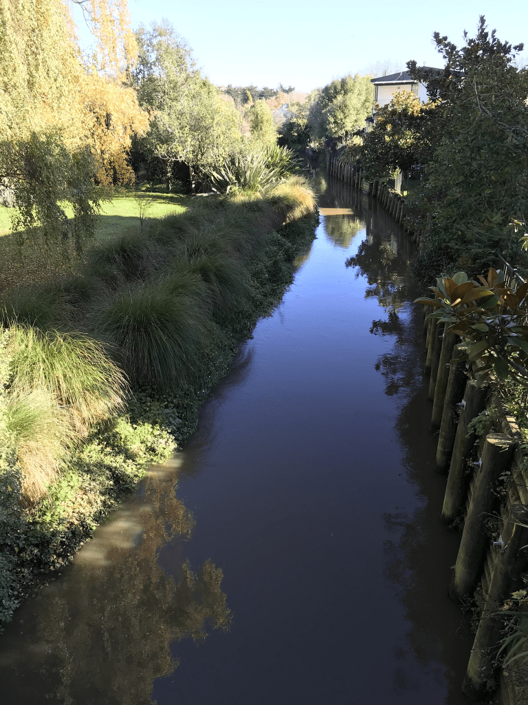
The houses were mostly built in 1960s and a few from 1970s and none stood out for me. One side of the street has Cashmere Stream Reserve behind it and the stream runs between the houses and the reserve. My thoughts when I walked in the reserve was that I wouldn’t like to live in these houses because of the risk of flooding. They had nice gardens. I stayed on the footpath as the ground was very boggy.
Waipara St in Cracroft – Named after the Waipara River. In a subdivision where the streets are named after rivers and sheep stations in North Canterbury. First appears in street directories in 1964.
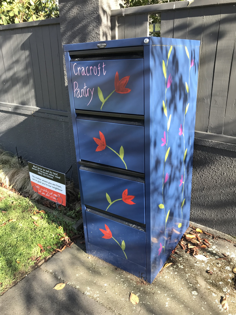
A small amount of information from the library website and nothing that I can add about the name of the street. Most the entries on Papers Past were ads. The houses here were built in the 1960s and none of them stood out for me. The Waipara Playground was on this street and I liked the seat made out of a tree stump. I remembering finding a geocache here a few years ago. At the end of the street before it turned into Waiau St there was a colourful street pantry.
Pahau Place in Cracroft – Named after the Pahau River. In a subdivision where the streets are named after rivers and sheep stations in North Canterbury. First appears in street directories in 1964.
A small amount of information from the library website and nothing that I can add about the name of the street. The 1964 entry in Papers Past about streets in the area being named after rivers and properties in North Canterbury is a bit more detailed. The other entries in Papers Past were mostly ads for selling houses.
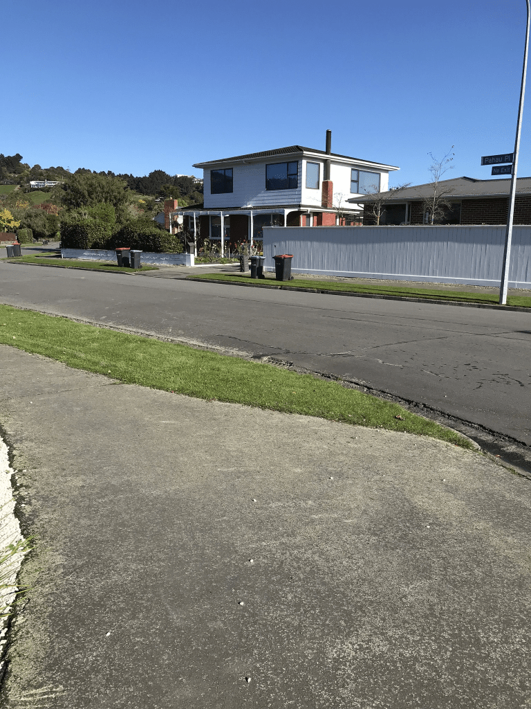
Most the houses here were built in the 1960s and many have been extended. They have either had a second story added or had a conservatory attached. Big sections on this street. At the end of the street there is a walkway through to Waipara Playground and Reserve. I did like a couple of the houses but I wouldn’t like all that lawn mowing.
Opihi St in Cracroft – Named after the Opihi River. In a subdivision where the streets are named after rivers and sheep stations in North Canterbury. [This name was a mistake by the Christchurch City Council as the Opihi River is in South Canterbury. Local residents say the street was intended to be named Omihi Street.] First appears in street directories in 1964.
A small amount of information from the library website. There was only a couple of ads on Papers Past for this street apart from a request from a builder wanting permission to build a block of lock up shops. He obviously didn’t get permission to build these shops. Most houses here were built in 1960s. This street didn’t really stand out for me but many of the gardens had an issue with wet and soggy grounds.