There was nothing on the library website about this street. Settlers Crescent is in Ferrymead and it has mostly businesses but I found out last night that there are apartments here as well. This is an old area of Christchurch and in the old days it would have been considered separate to Christchurch. People and goods were ferried through this area. The name has to be from the fact that many of the early settlers lived here,
Stewart Street in the Central City, Christchurch
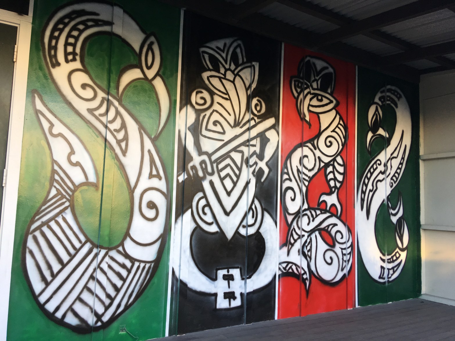
Stewart Street – Harry Street was incorporated into Stewart Street. Named after Francis Edward Stewart (1833- 1904) Stewart was the deputy superintendent of Canterbury in 1867. He died in Australia. The West Christchurch School Committee contributed to the costs of Harry Street’s formation in 1875. Harry Street was incorporated into Stewart Street in 1880.
This street was longer than I realised. and Hagley College was on one side and medical buildings on the other side plus a big empty section at the Moorhouse Ave end. Found some street art at Hagley College and there was a brand new diabetes centre named the Don Beaven Medical Research Centre. It was a tragic loss when Don Beaven died.
Balfour Terrace in the Central City, Christchurch
Balfour Terrace – Formerly Baker’s Lane and later Gladstone Terrace. Named after William Ewart Gladstone (1809-1898). Re-named Balfour Terrace. Named after Arthur Balfour, the 1st Earl of Balfour (1848- 1930). Gladstone was a British Prime Minister and also brother-in-law to Lord Lyttelton. Re-named Balfour Terrace in 1909. Balfour was British Prime Minister 1902-1905.
A reasonable amount of information from the library website.
Antigua St end has been closed off because of the new sports venue that will be built here. The Stewart St end has a brand new building housing a child care place which had a lovely play area for the children.
Waller Street in the Central City, Christchurch
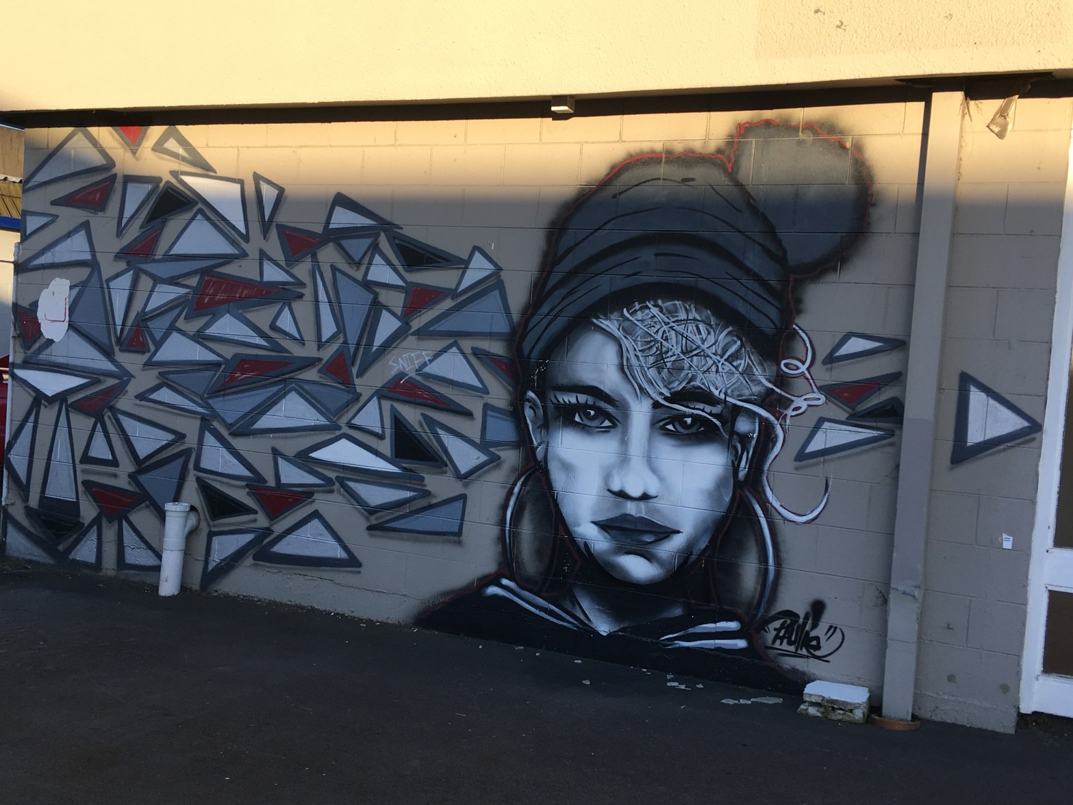
Waller Terrace – formerly Richmond Road and Richmond Terrace. Named after Francis Dalziel Waller (1869- 1944). Re-named Waller Terrace on 1 September 1948 when 120 streets were re-named. Waller was headmaster of Christchurch West High School (later Hagley High School) 1916-1927.
A reasonable amount of information from the library website. One side of the street at the Hagley Ave end has Hagley College and on the other has houses. There were two older houses and there was a brand new place that I am sure wasn’t there last time I walked down this street. Moorhouse Ave end has businesses plus I found some street art.
I am sure that at school ( Christchurch Girls High )there was a teacher called Miss Waller and I wonder if she was related to Francis Waller.
New Regent Street in the Central City, Christchurch
New Regent Street – Named after Regent Street in London. The area was originally known as “The Circus paddock” as it was where circuses set themselves up in the 1880s. It was also the site of the massive Colosseum which had been used as a skating rink, theatre, boot factory and a garage. The street is rated a heritage site because of the Spanish mission style of its continuous facades chosen by architect Harry Francis Willis (1893?-1972). The street was first proposed by George Gould (1865-1941) in 1929. Arthur Francis Stacey (1888?-1952), a valuer and estate agent, was responsible for its construction. It was opened by the mayor, D. G Sullivan, in 1932.
A good amount of information from the library Website.This area is always buzzing and last night there was a huge queue outside the ice-cream shop. I thought that I had photos of the street but couldn’t find them. This street would be one of the main tourist attractions in Christchurch.
Cathedral Square in the Central City, Christchurch
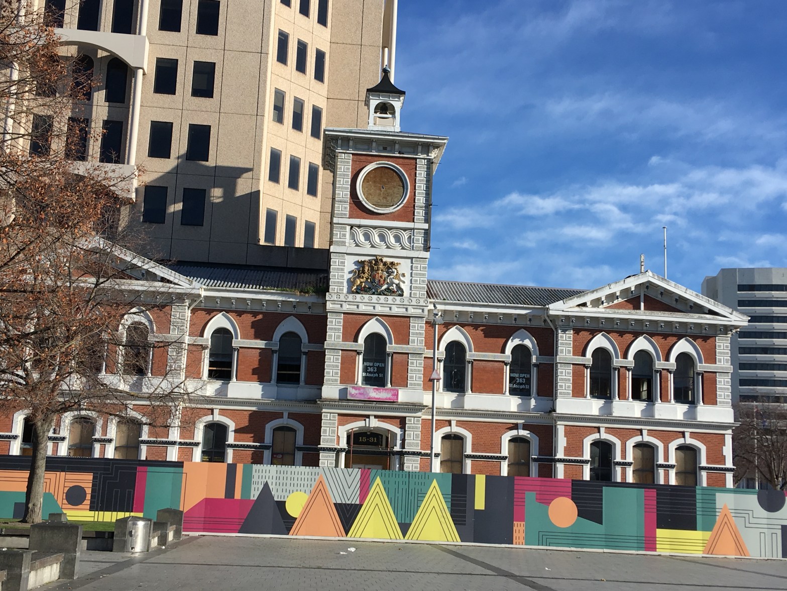
Cathedral Square – At first it was alternately named Ridley Square. Named after Nicholas Ridley (1500-1555), Bishop of London and an Anglican martyr. Latimer Square, Cranmer Square and Ridley (later Cathedral) Square are all named after martyred bishops. Building of the cathedral did not start until 16 December 1864 and the cathedral was not consecrated until 1 November 1881.
A reasonable of information from the library website. Anyone who has ever been to Christchurch will have been to the Square. When I was growing up the buses all left from the Square and I caught the Lyttelton bus outside the BNZ building. I also remember that there used to be underground toilets for men in the centre of the Square. Us females used to have to go down an alley way to get to our toilets. I can’t remember what year buses and cars were stopped from going through the centre of the Square. There was a huge fuss when it was tiled as this was considered to be dangerous. Most of the buildings around the Square were demolished after the earthquakes. The brand new library is in one corner of the Square. I visit the Square a lot especially on a Friday night because of the food trucks and last night I had my favourite green ninja chips.There was music last night and the Square was busy as it was a pleasant evening. I used to work in the Square at the ANZ which is now an empty section. I decided to use a photo of the old Post Office building rather the Cathedral.
Halkett Street in the Central City, Christchurch
Halkett Street – Formerly Lumbs Lane. Named after John Lumb (1819?-1909) and his wife, Eliza (1839?-1904). Re-named Halkett Street. Probably named after Peter Alexander Halkett (1820?- 1885). In 1875 the city surveyor was instructed to prepare an estimate for the forming and draining of Halkett Street, the property of a Mr Halkett, Halkett, a Commander in the Royal Navy, owned several Town Reserves. He died in Devon, England.
There is a lot of information on the library website for a boring little street. This is a business area of the city and the Montreal St end looks like a driveway rather a road.
Ernlea Terrace in the suburb of Cashmere, Christchurch
Ernlea Terrace – Named after Leonard Ernle Clark (1906- 1964). Clark’s middle name is pronounced Ernlee so the “a” may have been added to ensure his name was pronounced correctly
Very little information on the library website for a street named after an interesting person. The Terrace is named after a man dubbed the forgotten flyer. He was a pilot and was the second person to fly solo from England to NZ and only one of 5 people to fly solo from Australia to NZ. His nickname was the Flying Farmer. He learnt to fly at the Canterbury Aero Club and when he was in England purchased a Percival Gull so that he could fly home for the shearing season. He was a pilot in the Royal Air Force in World War Two.
At the end of this street there is a reserve called Ernle Clark Reserve and it was a pleasant walk here today in the shade of trees as it was such a hot day.
There is a property on this street that sells water to Christchurch people who object to our chlorinated water. The house on this property is fantastic. It is a tiny street with lovely large houses and even the two modern houses are interesting. In the reserve there are signs warning people to stay away from the swans as the swans bite. It is ages since I have walked here.
Wherstead Road in the suburb of Cashmere, Christchurch
Wherstead Road -Probably named after Wherstead, a village in Suffolk, England.
This was a street of mostly lovely old houses but wasn’t possible to take photos. Near the playground there were two very modern ugly houses. This is a posh and expensive area. Very little information on the library website. It is likely that an early settler would have come from the Suffolk area.
Lewis Street in the suburb of Hoon Hay, Christchurch
Lewis Street – Named after the Lewis family. David Lewis (1825- 1874), of Halswell House, arrived in Canterbury in the 1850s. His son, Charles Lewis (1857-1927), was a member of the House of Representatives and also parliamentary whip. He farmed at Halswell where he bred Shropshire cattle.
The library website had a long blurp for a very short uninteresting street. A more modern area of town probably from the 1960s to 1970s. There are a few shops here but the only reason I did this street yesterday was because I needed a geocache for a souvenir. David Lewis is buried at Barbadoes St Cemetery

