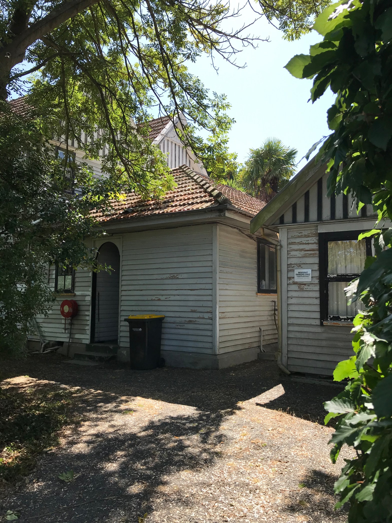
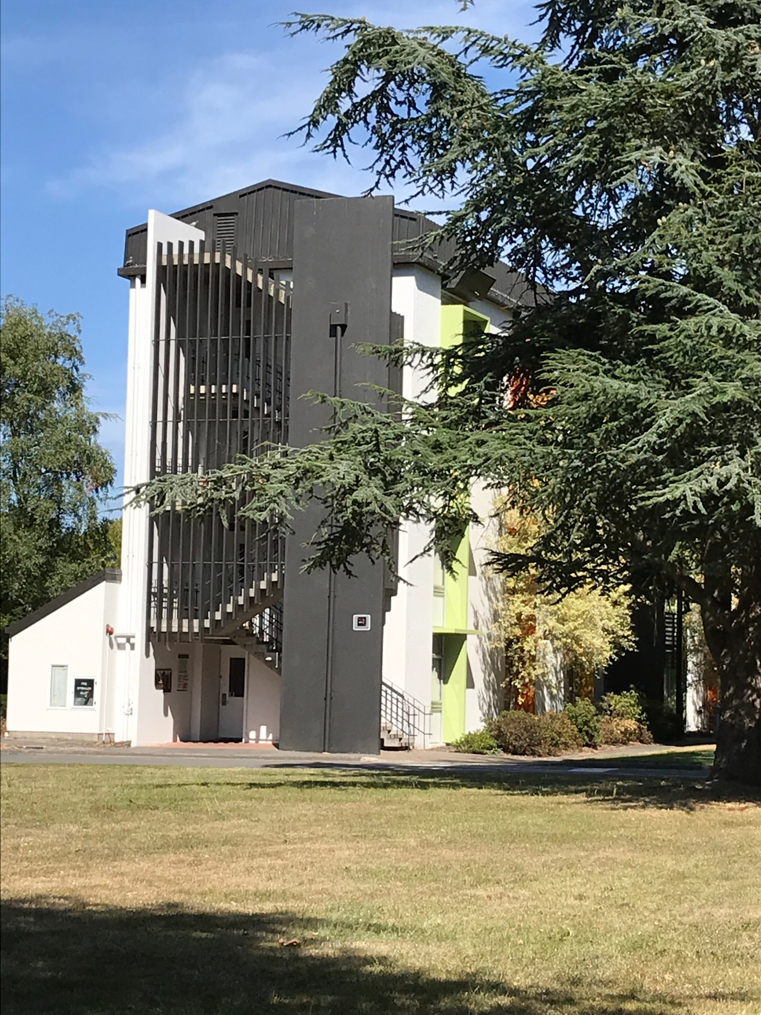
Hanrahan Street in the suburb of Upper Riccarton, Christchurch

Hanrahan Street – Part of Allan Street. Named after the Right Rev. Monsignor Thomas Hanrahan (1885?- 1963). Allan Street was in a dog-leg shape and included what is now Newnham Terrace. Allan Street is mentioned in The Press in 1910 (spelt Alan Street) and first appears in street directories in 1914. Hanrahan Street first appears …

Kirkwood Avenue in the suburb of Upper Riccarton, Christchurch

Kirkwood Avenue – Formerly Carleton’s Road and Carleton Road. Named after John Carleton (1840- 1894), and his wife, Ann, of Ilam Farm. Re-named Kirkwood Avenue. Named after Archibald McKirdy Kirkwood (1863?-1935). Carleton’s Road is shown on an 1864 map. The Carletons lived in a two-storey cob cottage and Carleton Road was originally the road into …

Homestead Lane in the suburb of Ilam, Christchurch

Homestead Lane isn’t on the library website and it is possibly a private road as it is within the University grounds. Yet there are other private roads on the library website. Obviously named after the Ilam Homestead a gorgeous Historic building on University land. The Ilam Homestead was built in 1856. Edited to say that …

Mecca Place in the suburb of Linwood, Christchurch

Mecca Place in Linwood and nothing on the library website for this street. Houses were built in the 1970s and the footpath was on both sides of the street which only happens in older streets. Mostly summerhill stone houses except for one unusual wooden house. I wish that I could have got a photo of …

Myrtle Road, Coprosma Road, Hebe Road, Dahlia Drive and Petunia Drive in the suburb of Hornby/ Wigram, Christchurch

Myrtle Road and Coprosma Road and Hebe Road and Dahlia Drive and Petunia Drive are all new streets that run off Zinnia Way. They are too new to be on the library website but they are on google maps.Information from Council website. Road names have been requested by Awatea Park Limited for road(s) at Awatea …

Harvard Avenue in the suburb of Hornby /Wigram, Christchurch

Harvard Ave – Named after the Harvard aeroplane. A name from the old airbase preserved when the land was subdivided in 1998 to form the Wigram subdivision. First appears in street directories in 1987. A small amount of information from the library website and nothing that I can add to this. Houses are on part …

Isitt Lane in the suburb of Hornby / Wigram, Christchurch

Isitt Lane – Named after Leonard Monk Isitt (1891-1976). Sir Leonard Isitt was a military aviator and leader and aviation administrator. He was based at Sockburn for a time after serving in World War One (1914- 1918). Continues the aviation theme of street names used in the Wigram Skies subdivision. A reasonable amount of information …

Red Checkers Place in the suburb of Hornby/Wigram, Christchurch

Red Checkers Place – Named after the Red Checkers, the RNZAF aerobatic team. The team frequently performed over Wigram Air Force Base. Continues the theme of naming the streets in the subdivision after military aircraft and/or names having a connection with the former Wigram Air Force Base. The developers sought advice from the Air Force …

Doppler Place in the suburb of Hornby/ Wigram, Christchurch

Doppler Place -Named after the Pulse-Doppler, a 4D radar system. In the Wigram Skies subdivision where the streets have an aviation theme. Named in 2014. A small amount of information from the library website and nothing that I can add to it. A small street with modern houses that are mostly built around 2015 to …