Arrowsmith Drive in Halswell – Named after Mount Arrowsmith. Mount Arrowsmith is the tallest peak in the Arrowsmith Range, which runs south-west to north-east, parallel to the Southern Alps, in the Ashburton District. It is 2781 metres in height. Date Named: 15 March 2022. Subdivision: 42 Gammack Drive. The road names are themed for the mountains in the Southern Alps that are visible from the site.
A reasonable about of information from the new library website and nothing that I can add about the name of the street. I am not sure about it being developed at 42 Gammack Drive as there is a totally different street where 42 Gammack Drive would have been. Edited as I found the council minutes from March 2022 and it is stated that there are three new street names for the development at 42 Gammack Drive. I had planned on walking that street but a geocacher from Kaiapoi cycled past me and stopped for a chat and I ran out of time.
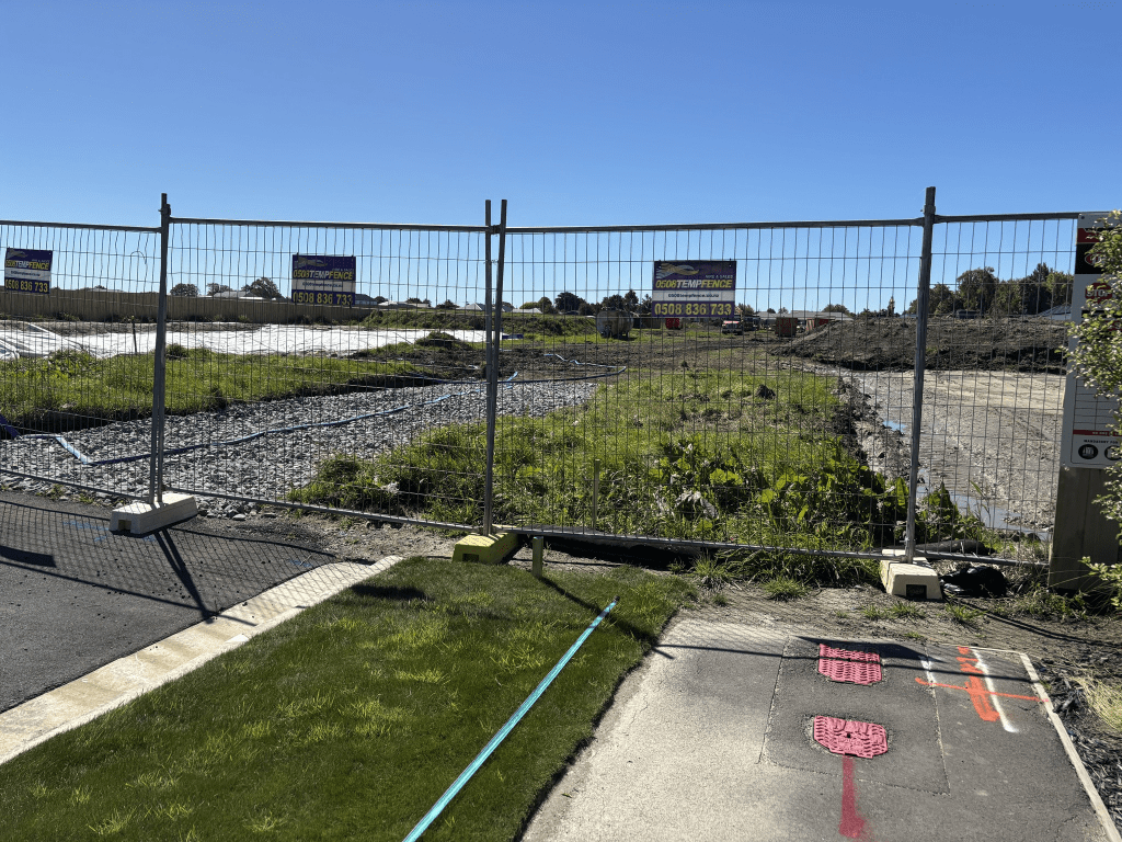
Arrowsmith Drive actually runs off Skibbereen Drive and is still being developed. At this stage there are only a few houses and I suspect that the street will eventually join up with Halswell Junction Road. I had a good look at google maps to try and work it out. One good thing is that there is a footpath on both sides of the street. I will have to come back once the street has been fully developed.
Edited as I went looking for why Mt Arrowsmith was given that name. It is thought that it was named after John Arrowsmith (1790 – 1873) a cartographer. His uncle was also a cartographer.