Charlesworth Street in Woolston – formerly Charlesworth’s Road or Charlsworth Road. Named after Captain William Charlesworth (1814-1875). Charlesworth lived at Saxon Villa on Ferry Road. [There is a variation on the spelling of his surname. Sometimes it has no “e”.] In 1873 he offered to dedicate to the Heathcote Road Board, land through his property for a road. Charlesworth’s Road is first mentioned in the Star in 1877 in a report of a meeting of the Heathcote Road Board. Becomes Charlesworth Street in street directories in 1892.
A reasonable amount of information from the library website. A lot of entries on Papers Past. Under Charlesworth’s Road there were a few ads and in 1893 there was a dairy farm for sale and it was a large block of land of 90 acres. In 1885 the annual Freethought Picnic was held on a property on the street.
Under Charlsworth Road there was only one entry and it was about a culvert and floodgate at the Linwood Ave end of the street. Under Charlsworth Street there were just a few ads.
Under Charlesworth Road there were repairs to the road in 1867. In the 1870s the road was shingled plus there was a complaint in 1876 of the culvert across the road being too short. In 1890 there was a subdivision of land here. Between 1901 and 1910 only Mrs Dixon is mentioned in Papers Past. Complaints about drainage in 1916 and 1917 and they were the last entries that I found under that name of the street.
Charlesworth Street was first mentioned in 1885. In 1901 there was a discussion about forming a footpath. A dairy farm was for sale in 1906. In 1903 a body was found in Mr Joseph Dixon’s paddock. In 1908 the Woolston Methodist Cricket Club had grounds in the street. From 1915 onwards lots of death notices and ads with a few birth notices. Drainage issues gets mentioned several times. In 1922 a City Council Ranger Walter Eugene Theilman was assaulted by Lawrence Taylor over an impounded horse. Lawrence Taylor attacked Walter Theilman with a shovel plus called him racist names. Obviously there were obscenities used as well but the newspaper used asterisks instead of the words. In the 1920s through to 1944 most entries were for the dairy farm belonging to T C Fordham. He died not long after leasing the farm out in 1944.
In 1945 there was talk about building a road tunnel and how it was likely to affect this street. The 1950s was mostly discussion about sewage works. In 1960s the discussion was about a new fire station and that it would be on Ferry Road with a side entrance on Charlesworth Street. There was a new street formed off Charlesworth Street especially for the fire station. Grazing land was available on this street and in 1972 sheep were attacked by dogs and killed. There was a lot of discussion about purchasing land for a new school on this street. Lots of arguments for and against this idea and in 1979 it was decided against it being a suitable site for a school as there was a battle over the purchase price. At one stage there were plans for two schools and houses. Power pylons were mentioned in connection with the same block of land. A reserve was then planned for between Charlesworth Street and Humphreys Drive. In 1981 one span of the old South Brighton Bridge was used to build a new bridge across the drain at the Linwood Ave end of the street. In 1991 and 1992 school children planted native trees in the reserve. They also had a rabbit plague in the reserve.
The Cats Protection League set themselves up in the street and they are still here. It is a very interesting building these days but going from street view from before the earthquakes it was housed in someone’s home. Trees for Canterbury are also on this street and does anyone else remember them collecting milk cartons for the trees.
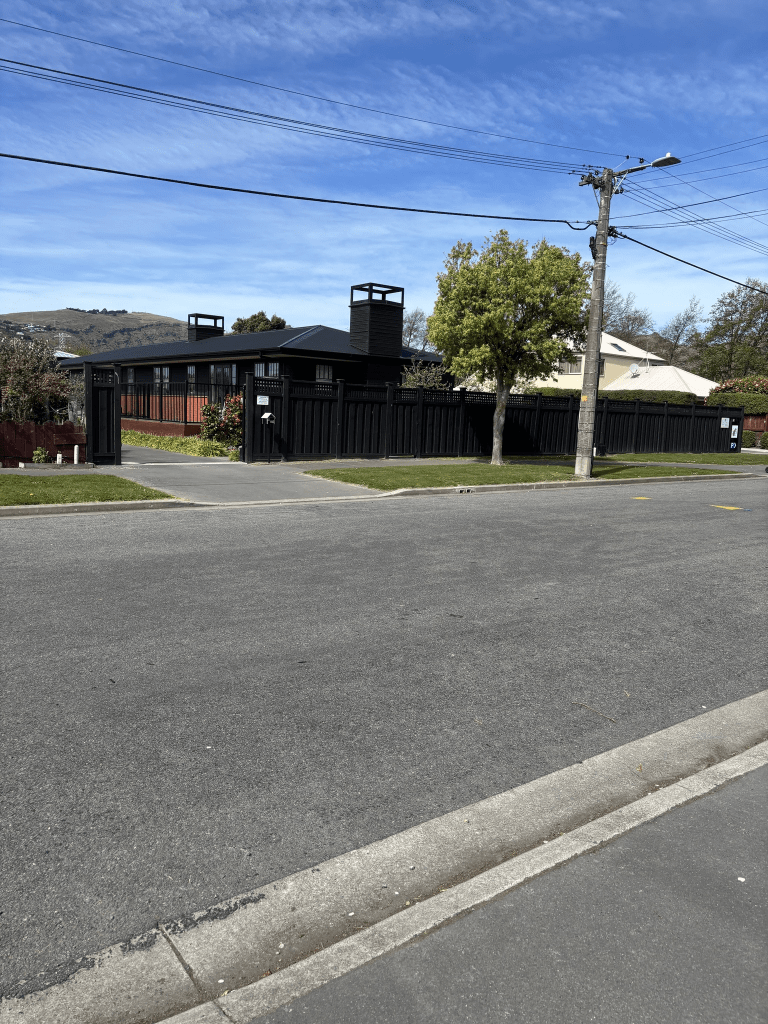
I actually walked this street in September last year and I was possibly geocaching in the reserve. The houses here range in date from 1905 to 2025. There is also a house from 1910 and another from 1915 but I couldn’t see any of the older houses as they were surrounded by trees.
I ended up looking at old maps as there were many entries on Papers Past about Linwood Ave. All the maps from 1930 to 1983 have Charlesworth Street going in a straight line from Ferry Road to Linwood Ave. I couldn’t find the exact date for the street no longer going as far as Linwood Ave but it was probably in the 1990s. I am basing this on Shearwater Drive which runs off Charlesworth Street and this street was developed in the 1990s. Shearwater Drive curves off Charlesworth Street at an angle and the part of Charlesworth Street that used to go all the way to Linwood Ave is now a walking track.