Bridle Path Rd – formerly Heathcote Valley Road. Heathcote Valley Road is mentioned in The Lyttelton Times 1860- 1904. Bridle Path Road first appears in street directories in 1903, running from Sumner Road to Port Hills.
A small amount of information from the library website. In Papers Past under the name Heathcote Valley Road the earliest entry I found was in 1865 when the mailman was delayed because of a collision between his cart and some cattle. A few ads for the selling of property in 1874 and 1880. There was a complaint about the state of the road in 1875. Last entry under this name was in 1904.
It also seemed to be called Bridle Path or Bridle Path Road from 1858 when there was discussion about the cost of forming the road. In 1864 there were repairs to the road. Most entries between 1870 and 1900 were about the condition of the road and the cost of repairs. From about 1910 onwards there were birth and death notices plus social notices. Fruit trees were mentioned.
In 1917 the hillside church of St Marys was mentioned and in 1924 it was the 58th anniversary of the church which was a wee church nestled on the hillside on Bridle Path Road. In 1925 there was discussion about moving the church and by 1926 it was on a new site on Truscotts Rd.
In 1920 there was talk about building a road tunnel and this obviously didn’t happen until a few decades later. The school is mentioned in 1929 plus a building called The Tea House. The road was widened in 1956. In 1961 to 1963 there were lots of complaints about trucks and heavy machines speeding on the road. From 1970s onwards the Ferrymead Trust is mentioned. Lots of ads over the years because of fruit trees, vegetables and the Riding School. The Riding School was mostly mentioned in connection with a nearby street. There was a dog dosing strip established in 1977 and the Heathcote Rifle Club was mentioned in 1972.
Who remembers dog dosing strips? I remember that we had one near our house in Lyttelton and this was possibly why I was scared of dogs for most of my life. I only got over this fear after living in the UK for 5 years.
Because both names of Heathcote Valley Road and Bridle Path Road seemed to be used at the same time for several years I looked at old maps. The maps were equally confusing. In 1879 it was just called Bridle Path and looked like an extension of the track over the hill. No name on some of the earlier maps but a map for 1930 has it as Heathcote Valley Road. The map for 1941 has it as both Bridle Path and Heathcote Valley Road. From about 1958 it is only Bridle Path Road.
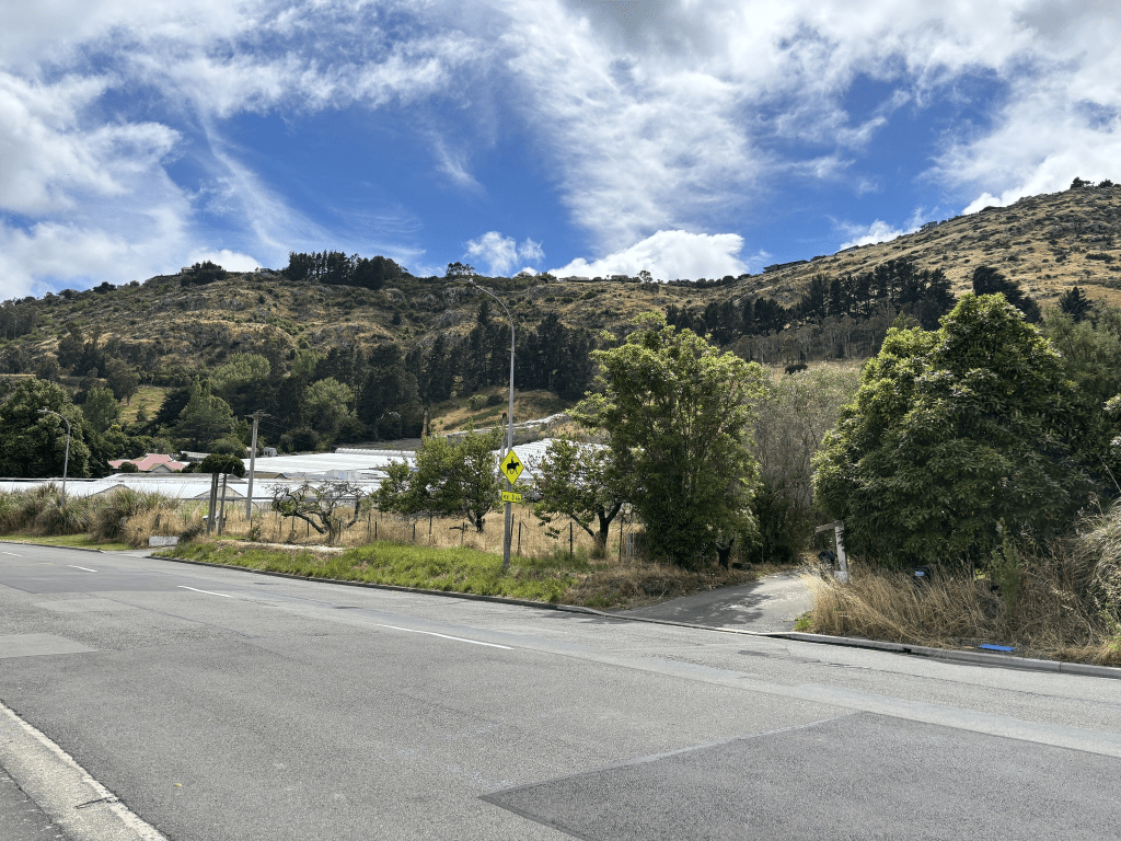
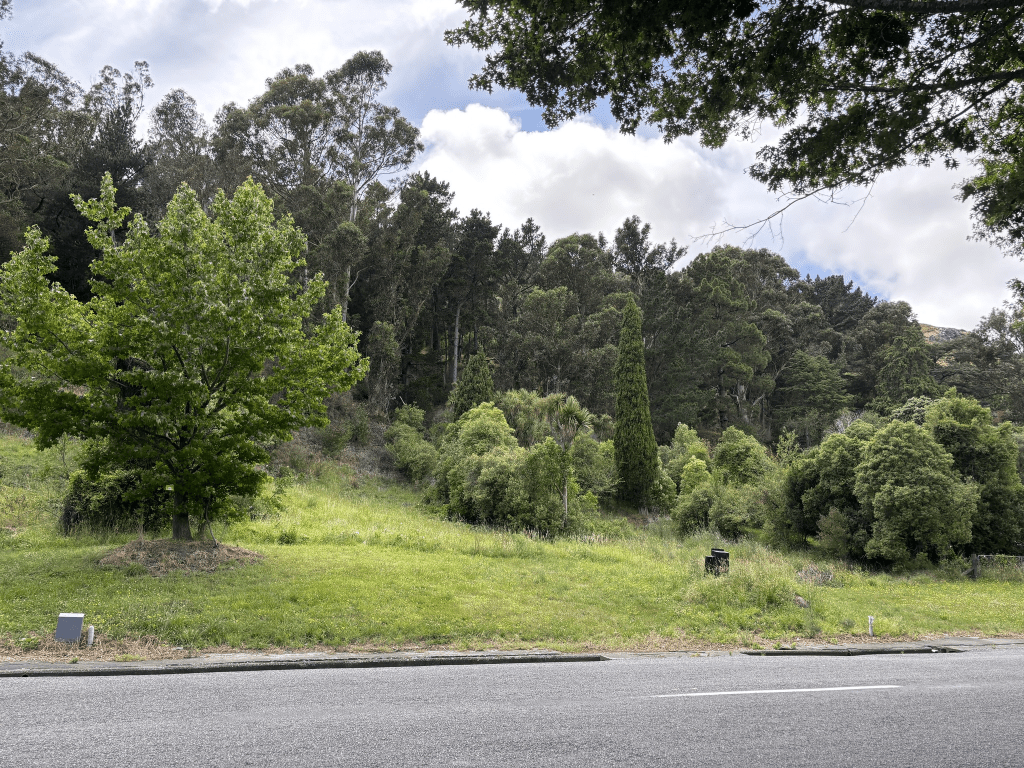
The houses here are from most decades dating from 1905. At least half the houses are from 1920 and earlier but it was almost impossible to see them because of all the trees in this area. Starting from the end where there is the entrance to the Gondola there are a few houses here. Most houses are on only one side of the road with trees and bush reserve on the hillside of the road. Then there is the Domain plus the school. On the other side there is the rifle club near the entrance to Morgans Valley. Houses then a cafe and the paddocks for the riding school. There are glasshouses on the other side of the road and then more trees are bush. There are a few houses on the hill side of the road but they are well hidden by the trees. Then there is Five Acre Farm just before you reach the football club grounds. Walk past Ferrymead Reserve and follow the river and you are soon at the bridge. I am sure that when I was younger that there were a lot more glasshouses along this road.