Wheatsheaf Lane in Heathcote – Named after wheat, one of the grains used in the making of malt extract (barley is the predominant grain). The sheaf of wheat is a common agricultural symbol. Additional information: Date Named: 17 February 2021 Subdivision: 68 Port Hills Road. The road names are themed for the historic use of the site.
A small amount of information from the new library website and nothing that I can add about the name.
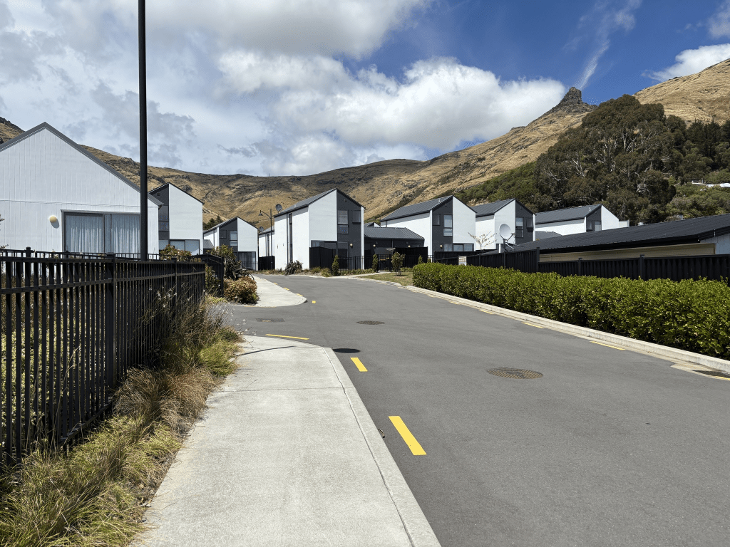
The houses here were all built in 2021 and there isn’t a footpath to walk on .
On Friday when driving back from walking the Bridle Path I noticed the sign saying Wheatsheaf Lane but it just seemed to point to the car park for the cafe and shops on Port Hills Rd. Yesterday when walking in the area I checked my maps and it looked like I could through Stead Lane to Wheatsheaf Lane so this is what I did. I was going to have an iced coffee at the cafe as I had walked about 8km but it was so busy that I just continued back to my car. All the houses here look exactly the same and I took a photo from Stead Lane looking towards Wheatsheaf Lane. It shows the back view of the houses on Wheatsheaf Lane and there is a wee path that takes you to the car park. I ignored the wee path and actually walked Wheatsheaf Lane which is why I know that there isn’t a footpath.